Elevation of St Andrew's Catholic School, Independence, KS, USA
Location: United States > Kansas > Montgomery County > Fawn Creek > Independence >
Longitude: -95.701721
Latitude: 37.2251014
Elevation: 247m / 810feet
Barometric Pressure: 98KPa
Elevation Map:
Satellite Map:
Related Photos:

Kansas, Independence, Dr. Pepper- Good For Life (15,301b)

Kansas Porch View

Kansas Porch View

Kansas, Independence, Dr. Pepper- Good For Life (15,301)
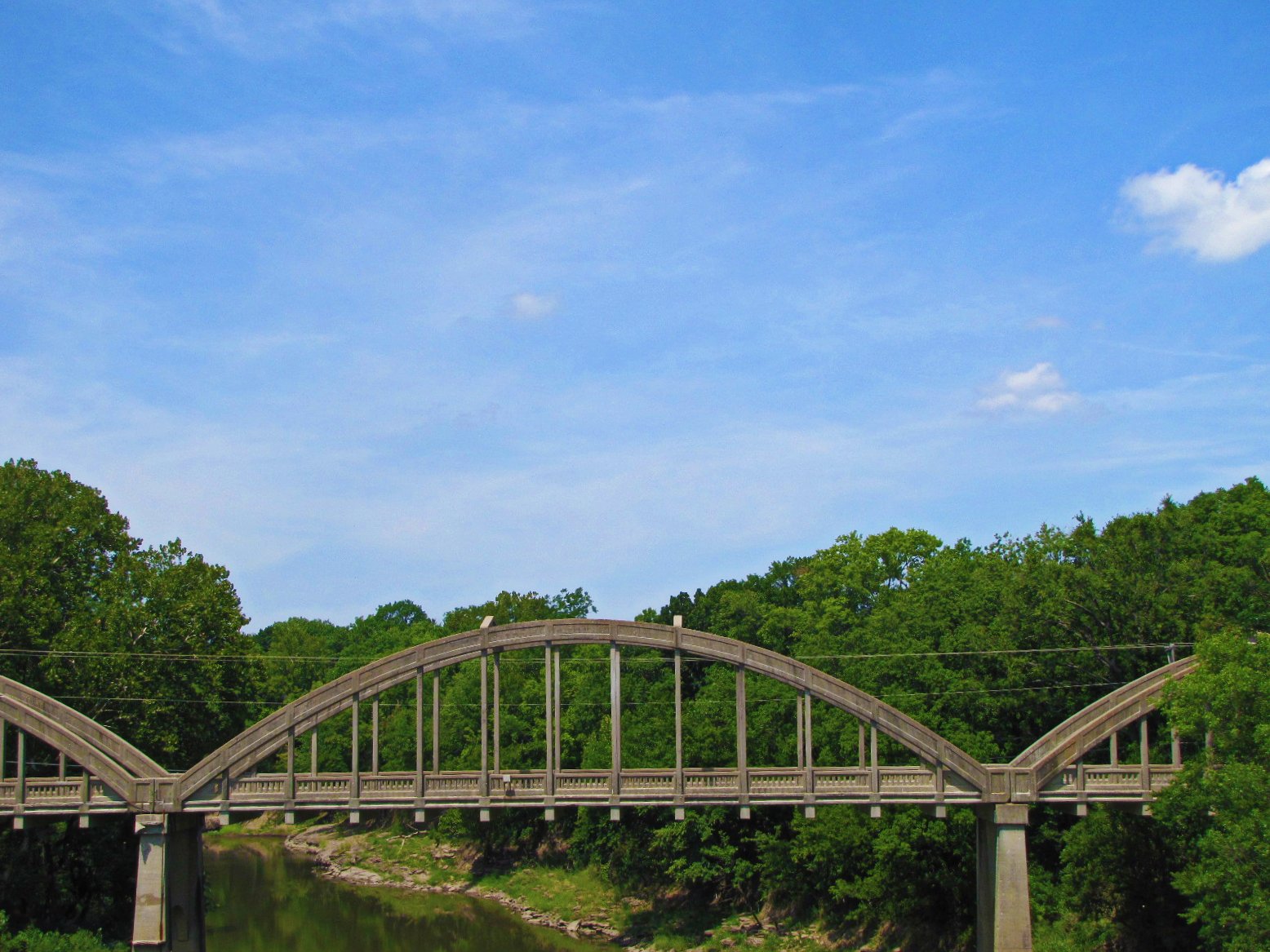
5 span concrete arch bridge (4 of 4)
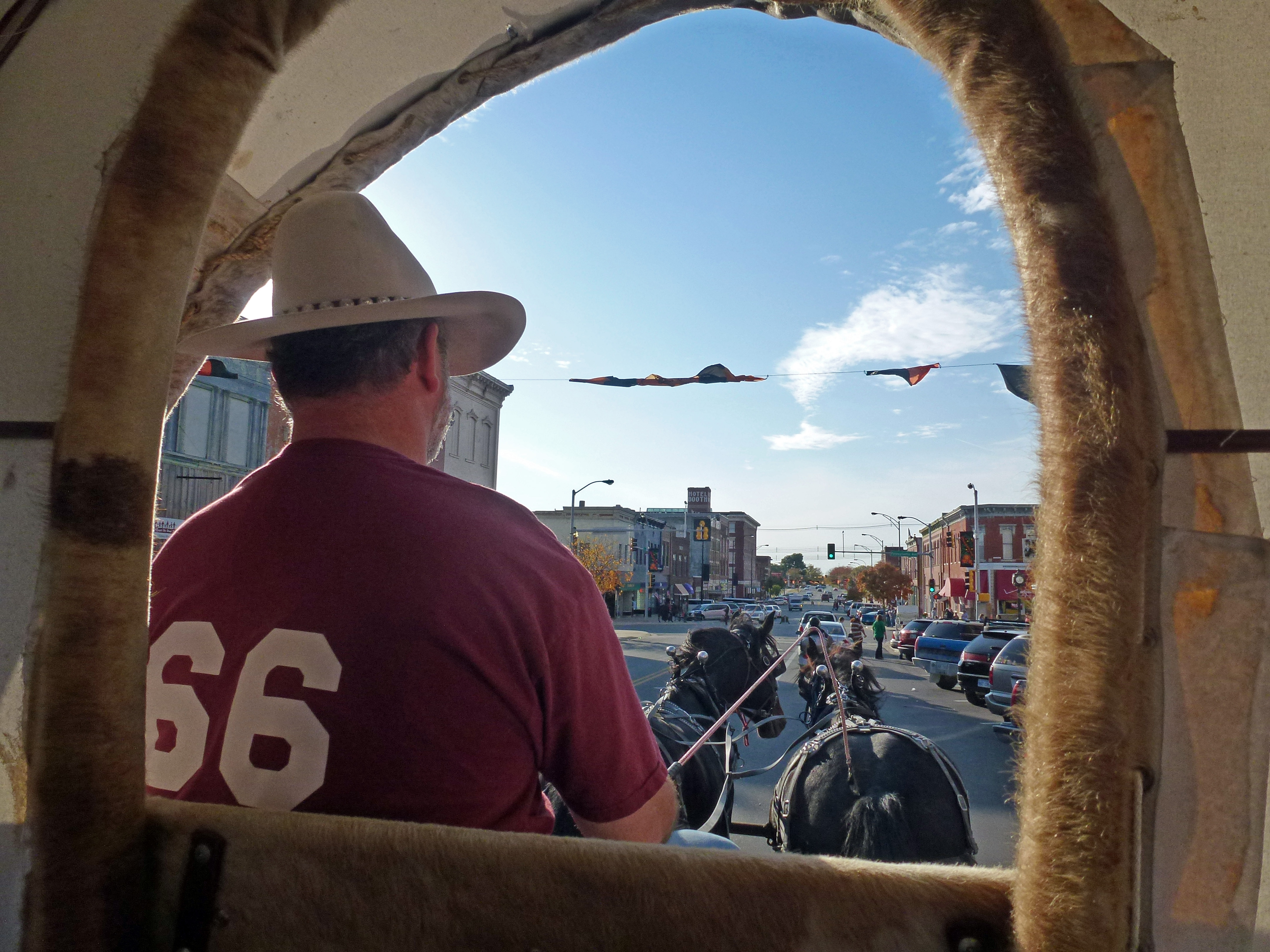
Wagon View
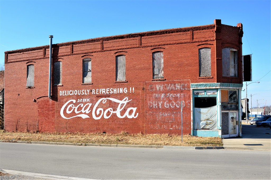
Kansas, Cherryvale, Coca-Cola (15,015)

Atchison, Topeka & Santa Fe Railway, Kansas, Cherryvale

Black Vulture
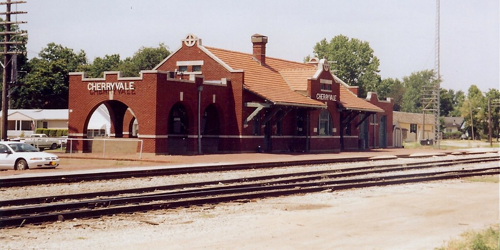
Atchison, Topeka & Santa Fe Railway, Kansas, Cherryvale (3,087)

View from Table Mound at Elk City Lake
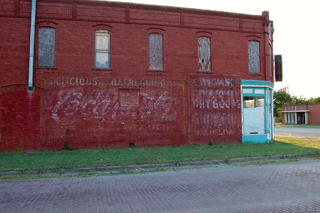
Kansas, Cherryvale, Coca-Cola (15,015)

Elk City Overlook

Bench Overlook View

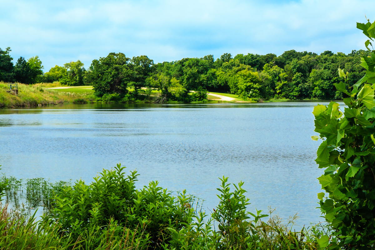
Verdigris River

rainbow arch bridge Independence Kansas

Leaning Support

Bridge, Independence Kansas

CELLPHONE PHOTO BLOG 3-31-08

horse family

lover's leap
Montgomery State Lake

falling water in the woods

Tree Color Cover
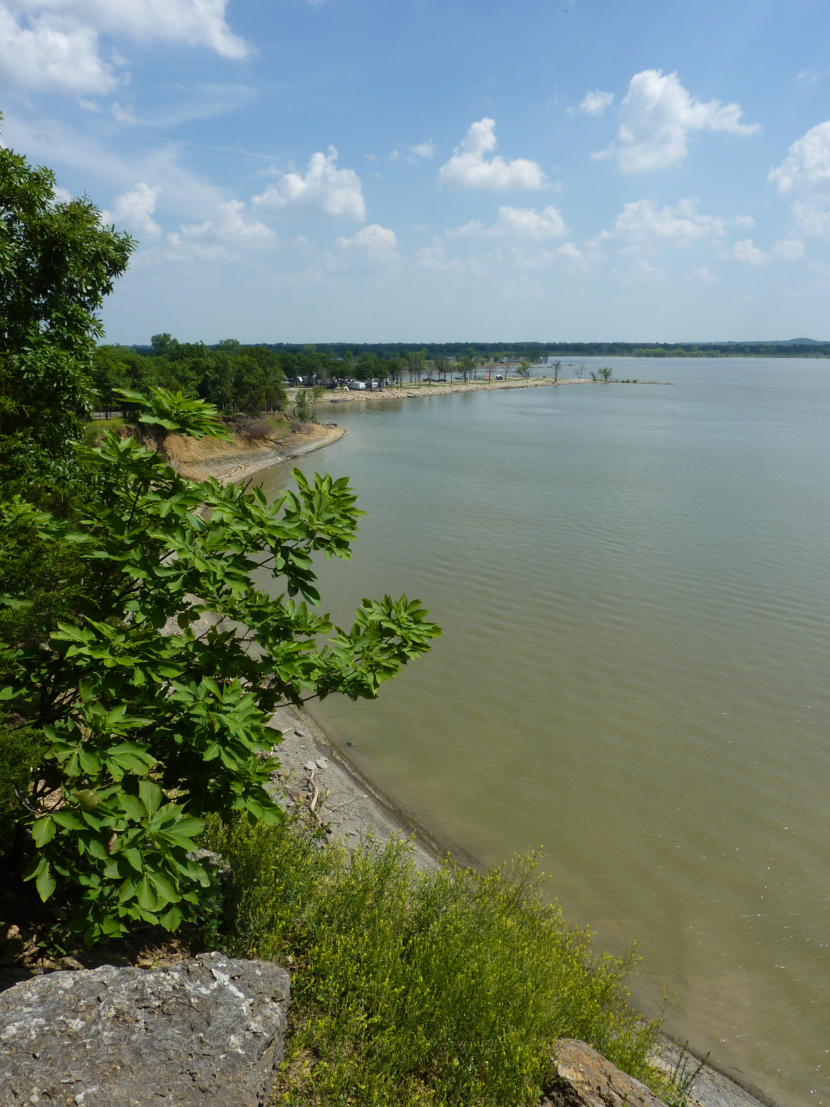
Sunset Point on Elk City Lake
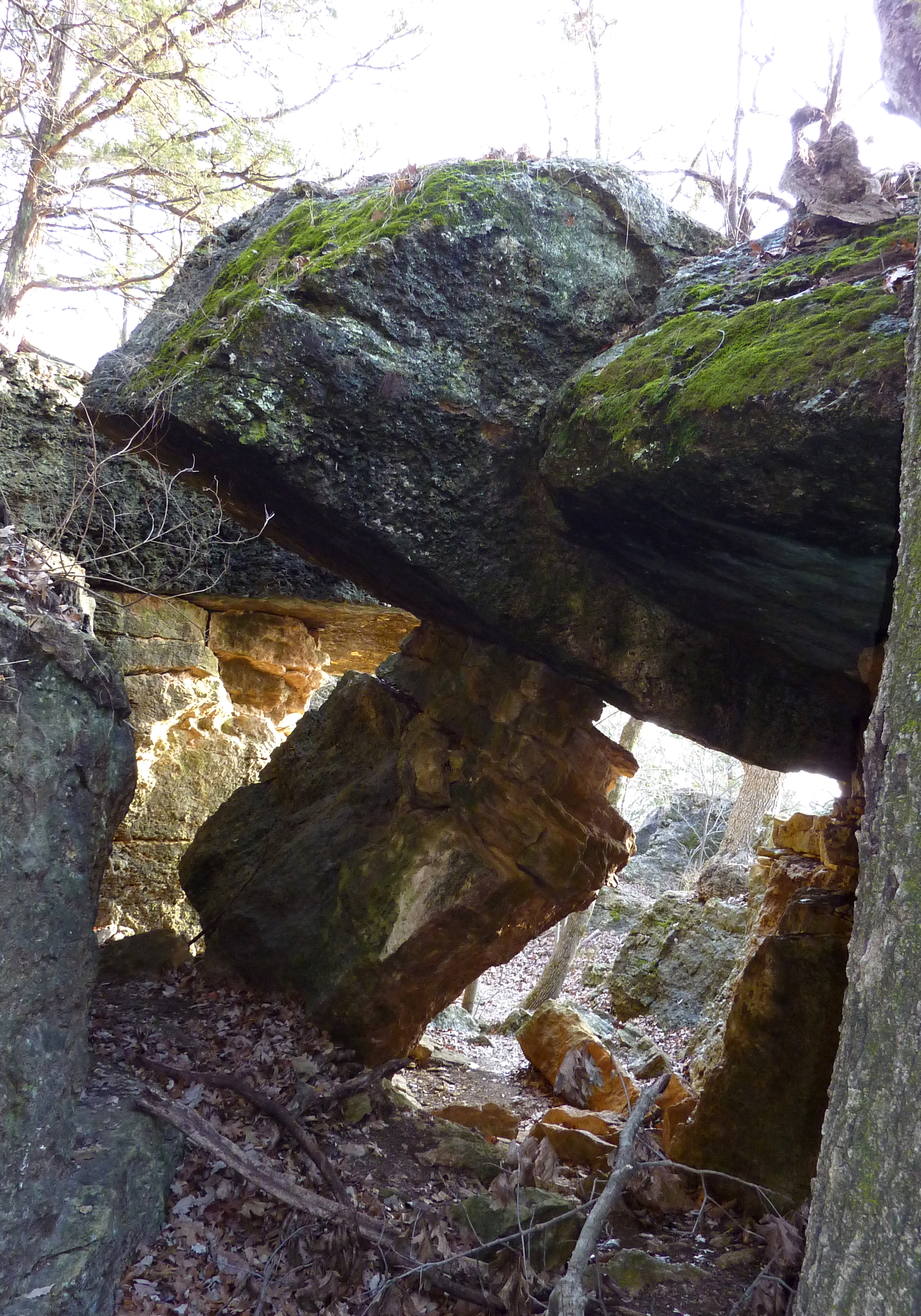
Atlas Rock on Table Mound Trail

Panorama North of the Dam

Sunset at Elk City Lake

Elk City Overlook Panorama
Home Builders of Elk City Bluffs

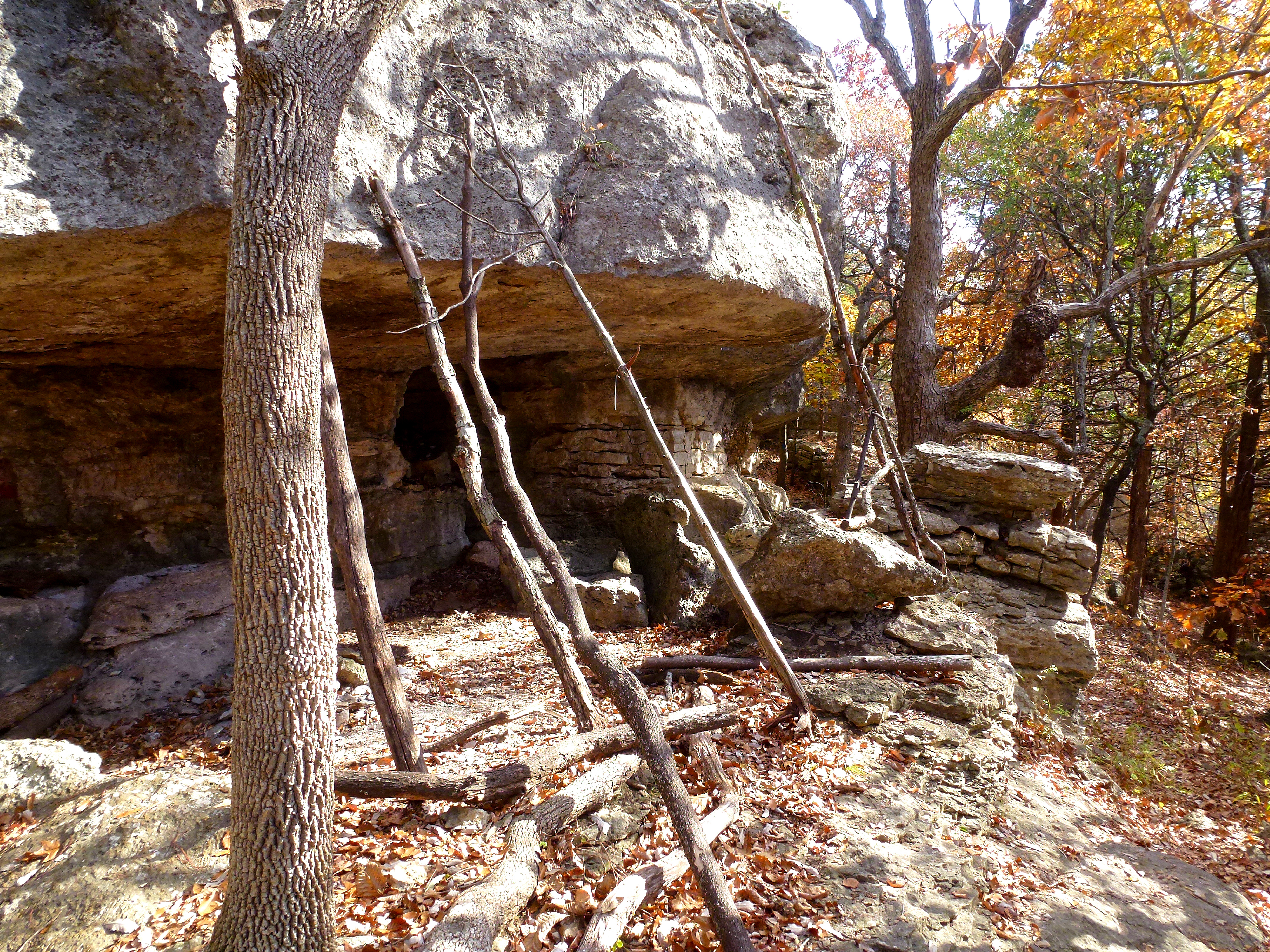
Bluff Shelter Panorama

Moon and Evening Star (in November) 4

Bluff and Trees

Coffeyville Brick

Straight and Crooked
Topographic Map of St Andrew's Catholic School, Independence, KS, USA
Find elevation by address:

Places near St Andrew's Catholic School, Independence, KS, USA:
Studio 4
Independence Main Street
Sears Hometown Store
Libby's Boutique
Apricot Lane Boutique
Wells Fargo Advisors
Montgomery County Noxious Weed
Us Naval Recruiting
Chasing Rainbows Scrapbooks
Cascade Lofts
Independence
J & J Wholesale Inc
Taco Bell
Americab Transportation
Stratford Smothers
Permian Land Co
Borders Bruce E
401 W Myrtle St
Unified School District 446
Subway®restaurants
Recent Searches:
- Elevation of Corso Fratelli Cairoli, 35, Macerata MC, Italy
- Elevation of Tallevast Rd, Sarasota, FL, USA
- Elevation of 4th St E, Sonoma, CA, USA
- Elevation of Black Hollow Rd, Pennsdale, PA, USA
- Elevation of Oakland Ave, Williamsport, PA, USA
- Elevation of Pedrógão Grande, Portugal
- Elevation of Klee Dr, Martinsburg, WV, USA
- Elevation of Via Roma, Pieranica CR, Italy
- Elevation of Tavkvetili Mountain, Georgia
- Elevation of Hartfords Bluff Cir, Mt Pleasant, SC, USA