Elevation of Spurger, TX, USA
Location: United States > Texas > Tyler County >
Longitude: -94.177429
Latitude: 30.6912029
Elevation: 50m / 164feet
Barometric Pressure: 101KPa
Elevation Map:
Satellite Map:
Related Photos:

Love our sunset view!

Our view for the next couple of days. :) Hopefully it will warm up a bit and the wind will die down so we can enjoy it from the outside too!
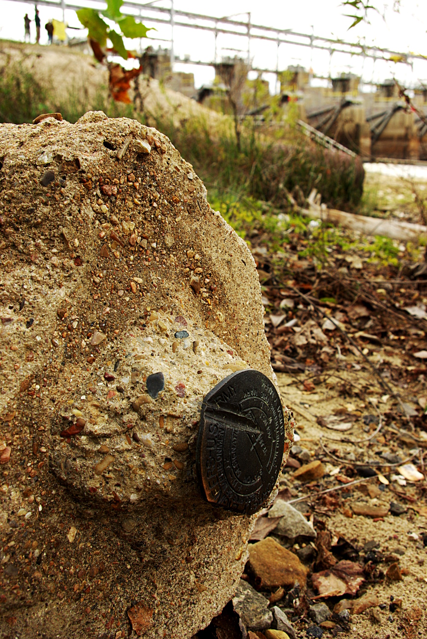
Dam Benchmark

Swainson's Warbler

Swainson's Warbler

Swainson's Warbler

Heading out! Dry Creek, Louisiana, we're headed your way.....
Falling Spring
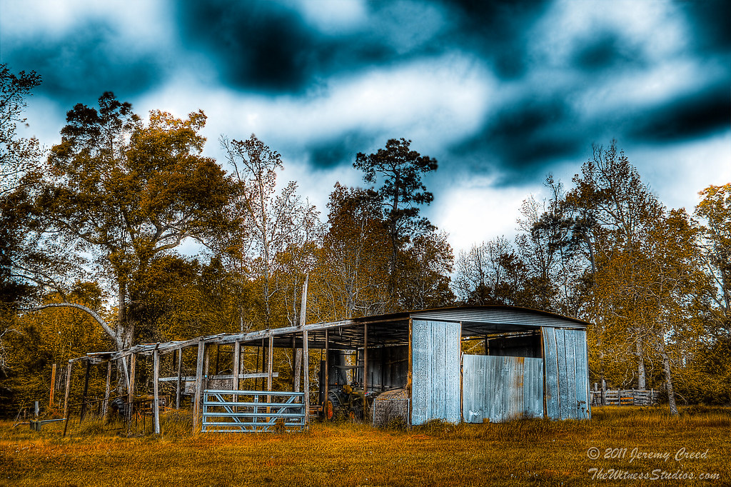
Down on Grandpa's Farm (Literally)
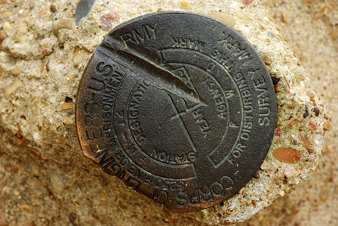
Dam Benchmark

still life with hand
Topographic Map of Spurger, TX, USA
Find elevation by address:

Places in Spurger, TX, USA:
Places near Spurger, TX, USA:
Mock Drive
129 Tucker St
FM 92, Spurger, TX, USA
154 Co Rd 4138
Park Road
Magnolia Springs
8505 Timber Slough Rd
6073 Us Hwy 190 W
County Road 138
FM, Kirbyville, TX, USA
2838 Fm 1013
383 Co Rd 479
383 Co Rd 479
383 Co Rd 479
383 Co Rd 479
383 Co Rd 479
383 Co Rd 479
383 Co Rd 479
3963 Fm252
7463 Bean Rd
Recent Searches:
- Elevation of Corso Fratelli Cairoli, 35, Macerata MC, Italy
- Elevation of Tallevast Rd, Sarasota, FL, USA
- Elevation of 4th St E, Sonoma, CA, USA
- Elevation of Black Hollow Rd, Pennsdale, PA, USA
- Elevation of Oakland Ave, Williamsport, PA, USA
- Elevation of Pedrógão Grande, Portugal
- Elevation of Klee Dr, Martinsburg, WV, USA
- Elevation of Via Roma, Pieranica CR, Italy
- Elevation of Tavkvetili Mountain, Georgia
- Elevation of Hartfords Bluff Cir, Mt Pleasant, SC, USA