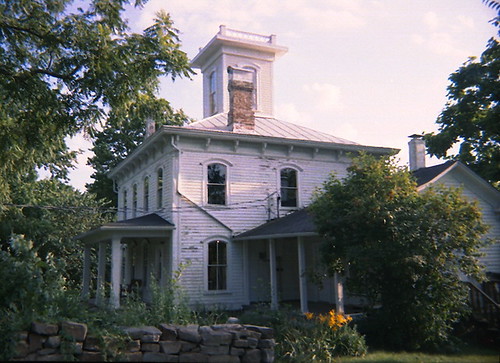
Elevation of Spring Creek West Township, MO, USA
Location: United States > Missouri > Dent County >
Longitude: -91.578999
Latitude: 37.6494238
Elevation: 383m / 1257feet
Barometric Pressure: 97KPa
Related Photos:
Topographic Map of Spring Creek West Township, MO, USA
Find elevation by address:

Places near Spring Creek West Township, MO, USA:
4103 Mo-32
W 4th St, Salem, MO, USA
Salem
503 E Rolla Rd
903 E Center St
County Road 3190
4840 Mo-68
Norman Township
888 County Rd 3335
MO-32, Salem, MO, USA
Texas Township
Watkins Township
Lake Spring
County Road 233
Dent County
MO-32, Salem, MO, USA
Lenox
15400 Co Rd 4080
County Road 258
State Hwy O, Rolla, MO, USA
Recent Searches:
- Elevation of Corso Fratelli Cairoli, 35, Macerata MC, Italy
- Elevation of Tallevast Rd, Sarasota, FL, USA
- Elevation of 4th St E, Sonoma, CA, USA
- Elevation of Black Hollow Rd, Pennsdale, PA, USA
- Elevation of Oakland Ave, Williamsport, PA, USA
- Elevation of Pedrógão Grande, Portugal
- Elevation of Klee Dr, Martinsburg, WV, USA
- Elevation of Via Roma, Pieranica CR, Italy
- Elevation of Tavkvetili Mountain, Georgia
- Elevation of Hartfords Bluff Cir, Mt Pleasant, SC, USA


