Elevation of Spoor Rd, Groton, VT, USA
Location: United States > Vermont > Caledonia County > Groton >
Longitude: -72.26492
Latitude: 44.282866
Elevation: 334m / 1096feet
Barometric Pressure: 97KPa
Elevation Map:
Satellite Map:
Related Photos:

Northern Skies Observatory
Peacham Mist

Peacham Panorama

The US as Seen From Vermont

Come for the view, stay because you're dead.
IMG_6045 view from landing

Vermont Sugar Shack

Secret ledge
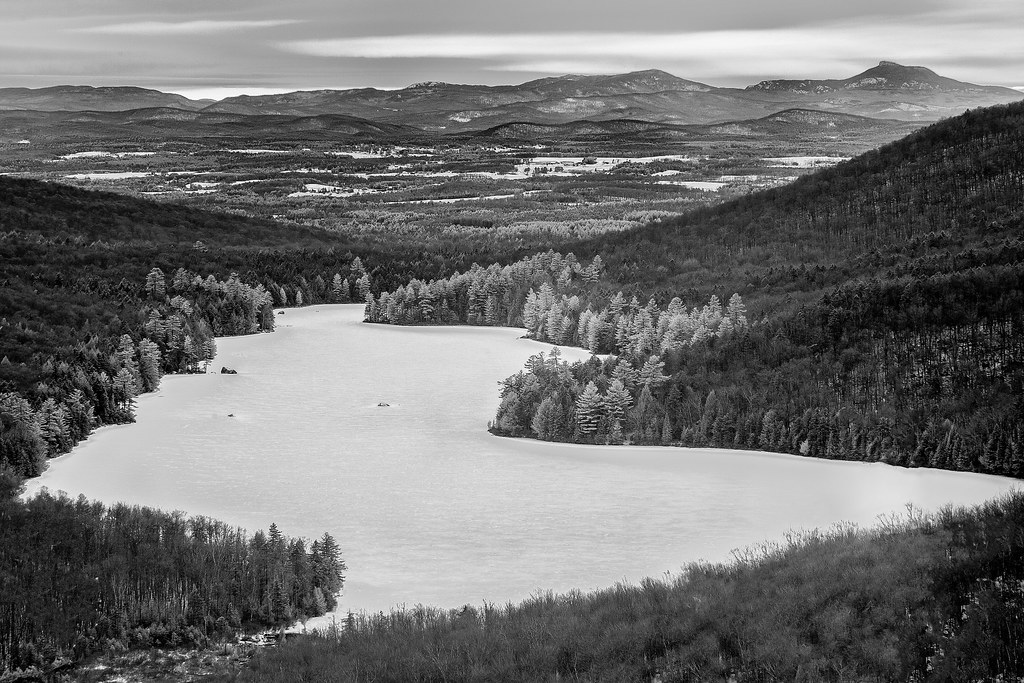
Frozen Kettle Pond in Infrared
Lake Barnet
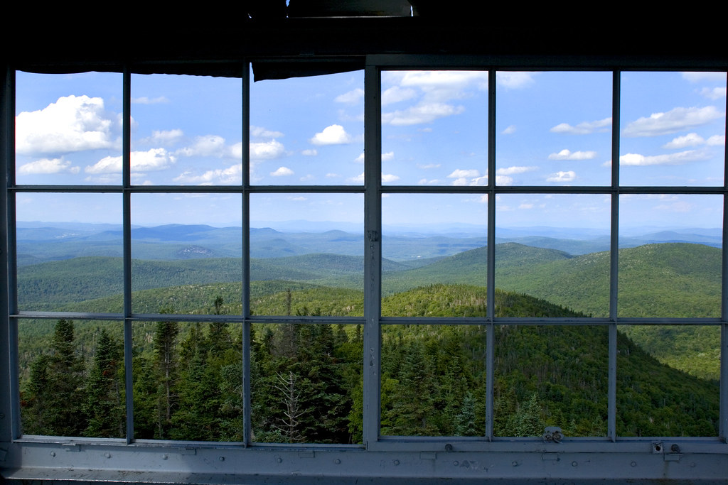
View from the Fire Tower

Colorful Overlook

Deer Mountain

View from Comstock B&B

Looking through the door, from the front desk at Karme Choling
Watchtower View

Prime Picnic Spot
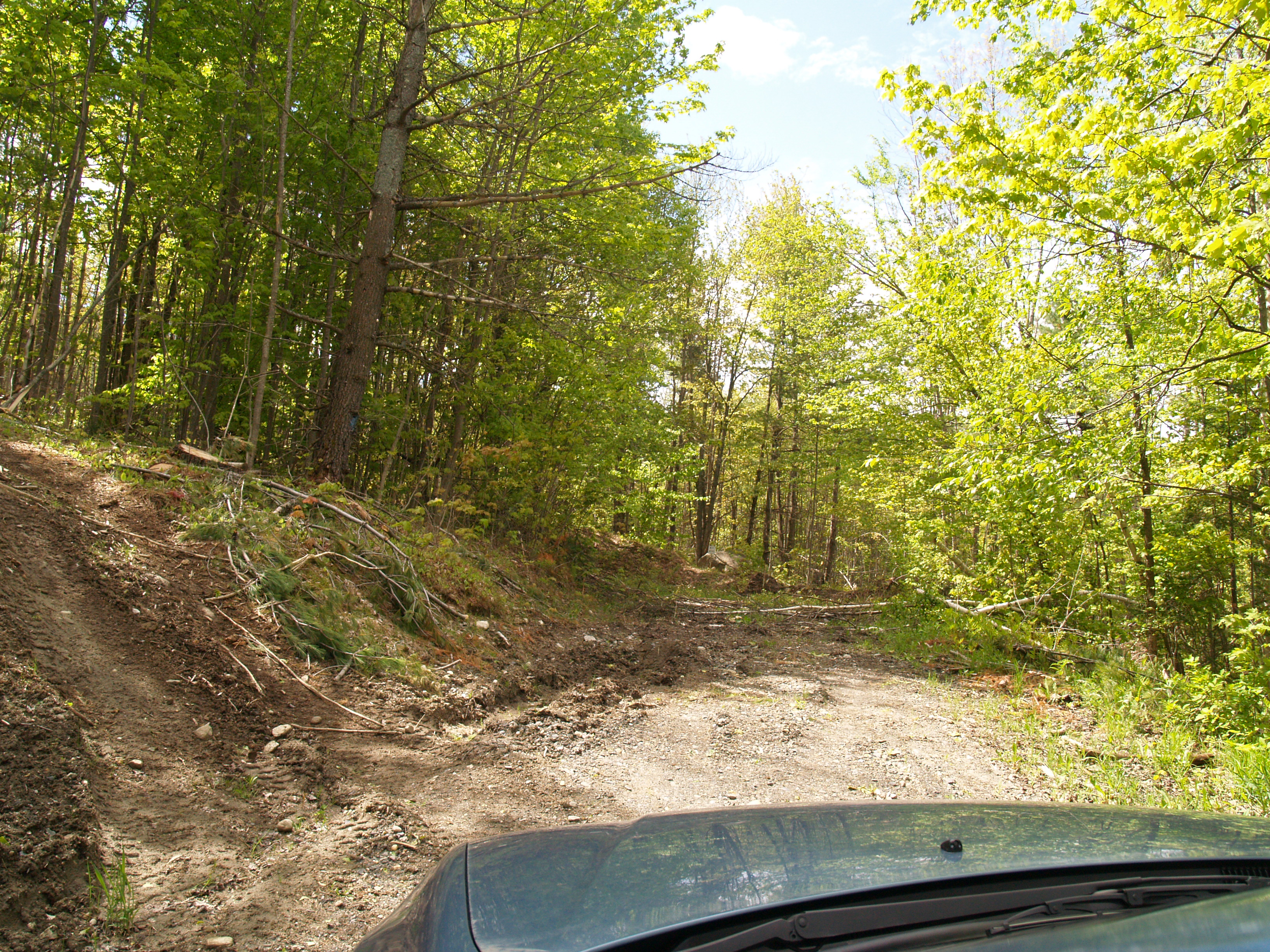
End Of The Road

Spruce Mountain

Fire Tower View (3)

Fire Tower View (1)

A.M. Foster Covered Bridge

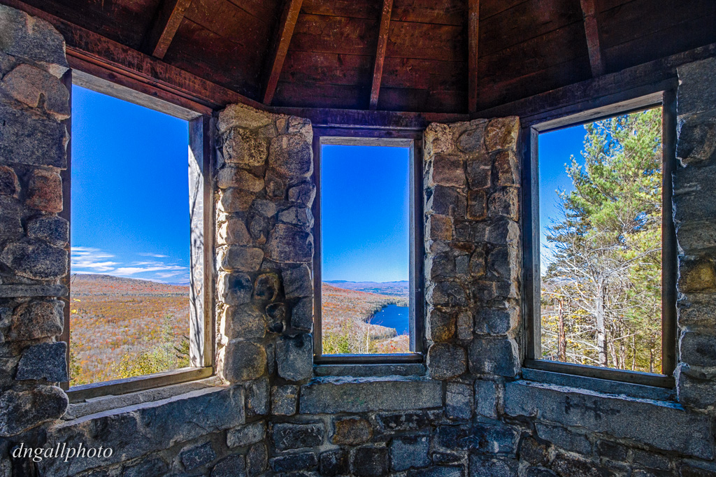
Inside looking out

Evening at the Foster Covered Bridge

Sunset at the Foster Covered Bridge

Hillside Acres Milky Way

The Valley

Footprints in the Snow

Vermont Sugar Shack

Autumn at Hillside Acres, Vermont

A.M. Foster Covered Bridge

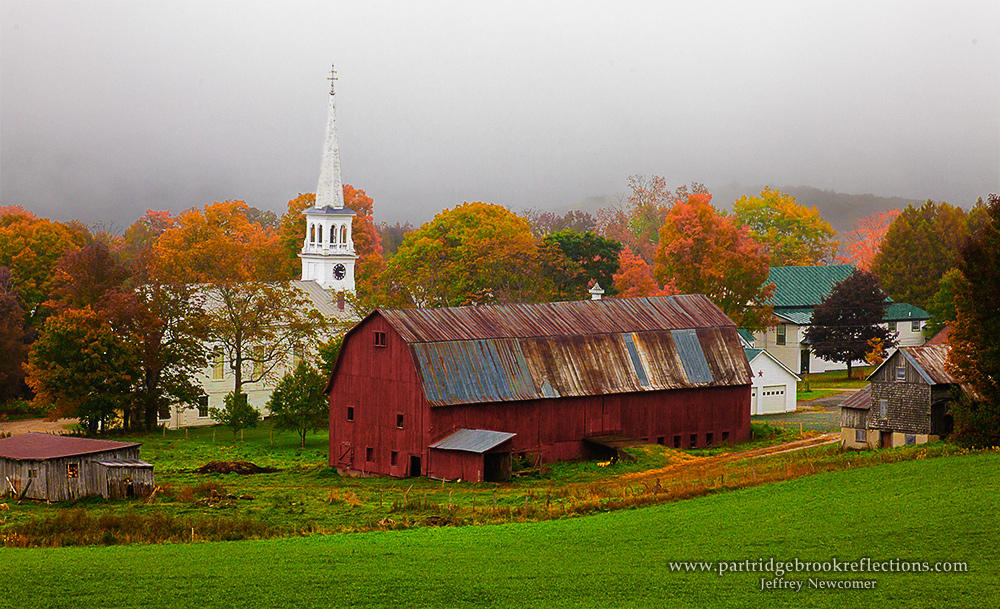
Bogie Mountain Farm, Vermont

Milky Way over the Foster Covered Bridge

Fall on, above, and below

Winter in Peacham, Vermont

Little Unnamed Waterfall in Vermont

Peacham, Vermont

Winter at the Foster Covered Bridge

Bogie Mountain Farm

Hard woods meet hard pavement and elevate to green on the mountain top
Topographic Map of Spoor Rd, Groton, VT, USA
Find elevation by address:

Places near Spoor Rd, Groton, VT, USA:
Hosmer Brook Road
Groton State Forest
Owls Head Mt.
Owl's Head Mountain
Groton
412 N County Rd
91 W Glauchester Rd
563 State Forest Rd
2150 County Rd
2078 Glover Rd
952 Minard Hill Rd
1334 Scott Hwy #3
13 Mountain View Dr
Mountain View Drive
158 Railroad St
874 Glover Rd
Mosquitoville Rd, Groton, VT, USA
18 Kasson Rd
Harvey Lake
712 Spruce Mountain Rd
Recent Searches:
- Elevation of Corso Fratelli Cairoli, 35, Macerata MC, Italy
- Elevation of Tallevast Rd, Sarasota, FL, USA
- Elevation of 4th St E, Sonoma, CA, USA
- Elevation of Black Hollow Rd, Pennsdale, PA, USA
- Elevation of Oakland Ave, Williamsport, PA, USA
- Elevation of Pedrógão Grande, Portugal
- Elevation of Klee Dr, Martinsburg, WV, USA
- Elevation of Via Roma, Pieranica CR, Italy
- Elevation of Tavkvetili Mountain, Georgia
- Elevation of Hartfords Bluff Cir, Mt Pleasant, SC, USA