Elevation of Spokane, WA, USA
Location: United States > Washington > Spokane County >
Longitude: -117.42604
Latitude: 47.6587802
Elevation: 571m / 1873feet
Barometric Pressure: 95KPa
Elevation Map:
Satellite Map:
Related Photos:

The Way To The Top

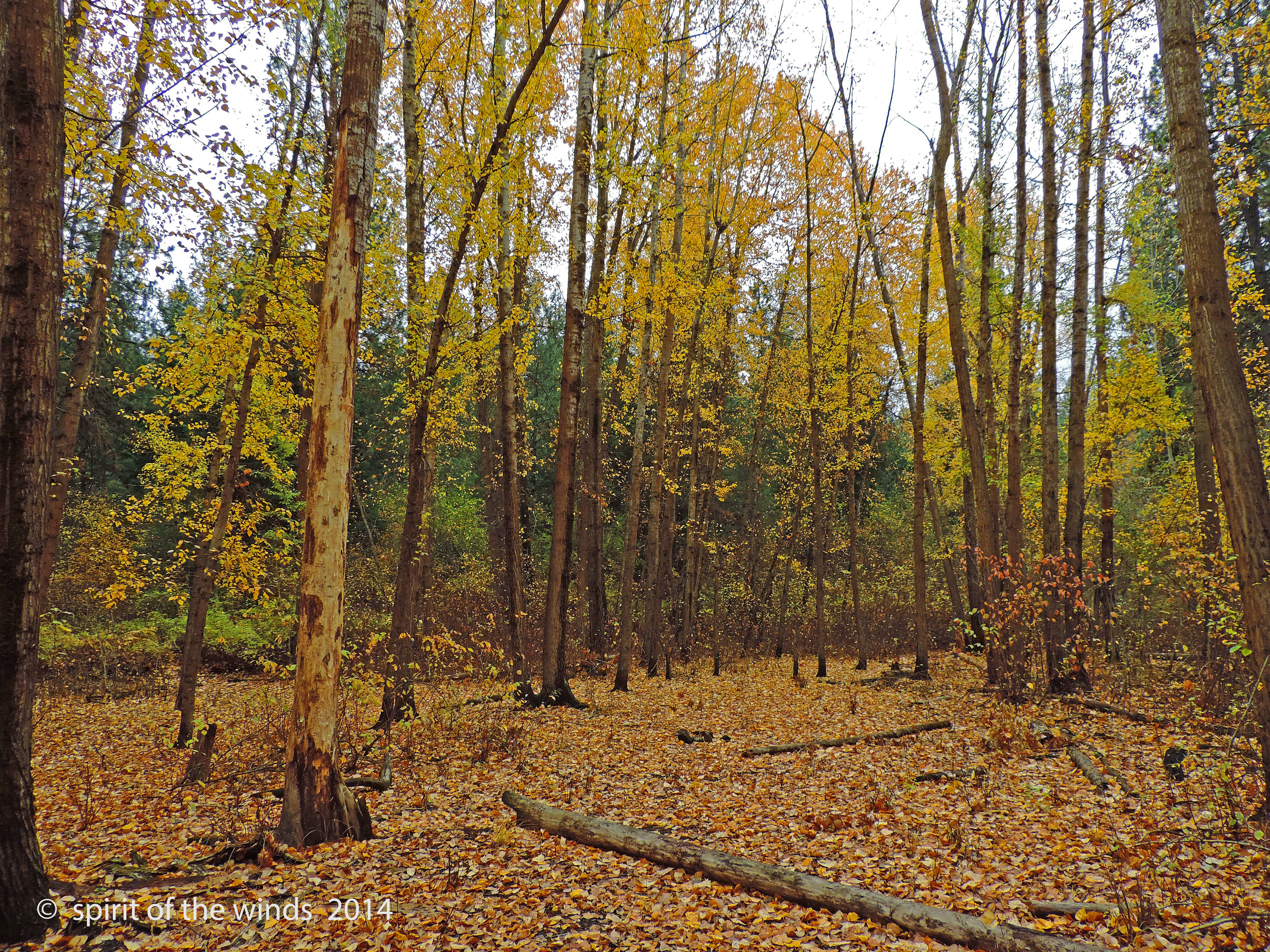
Love Old Cottonwoods
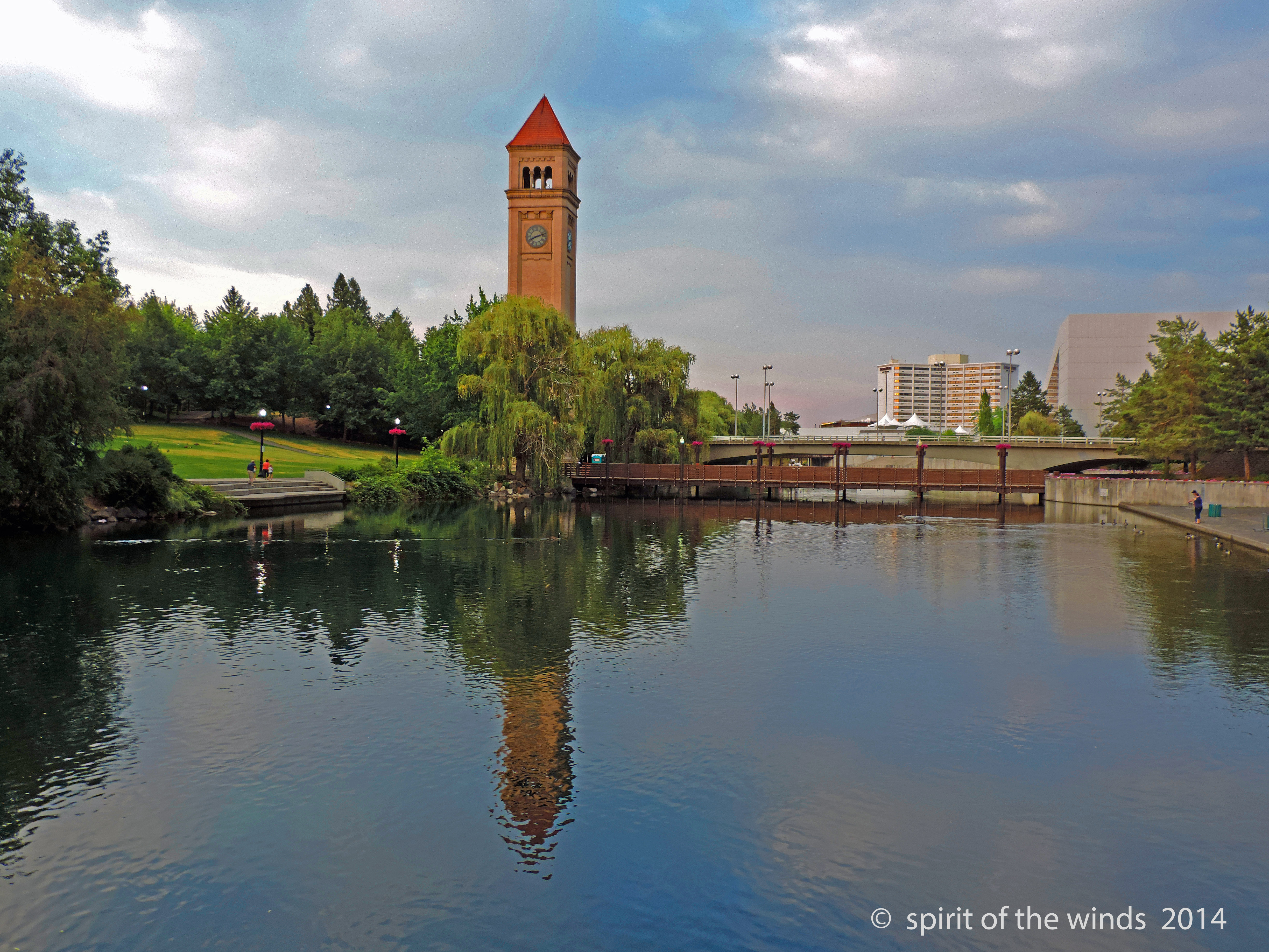
The Clock Tower
People On The Footbridge
Grill Time (Tokina 11-16mm)
Mountain Trail II
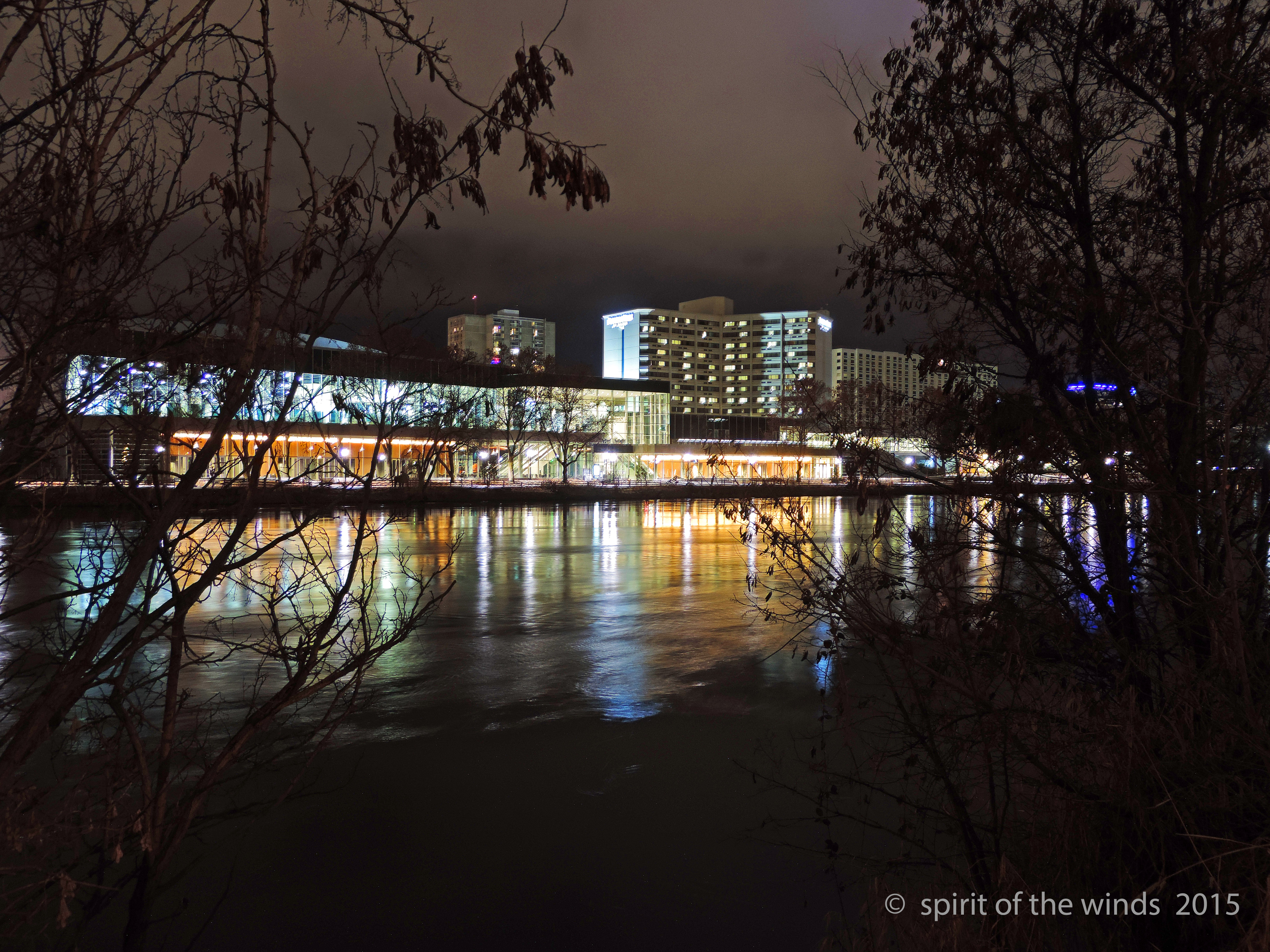
The Convention Center
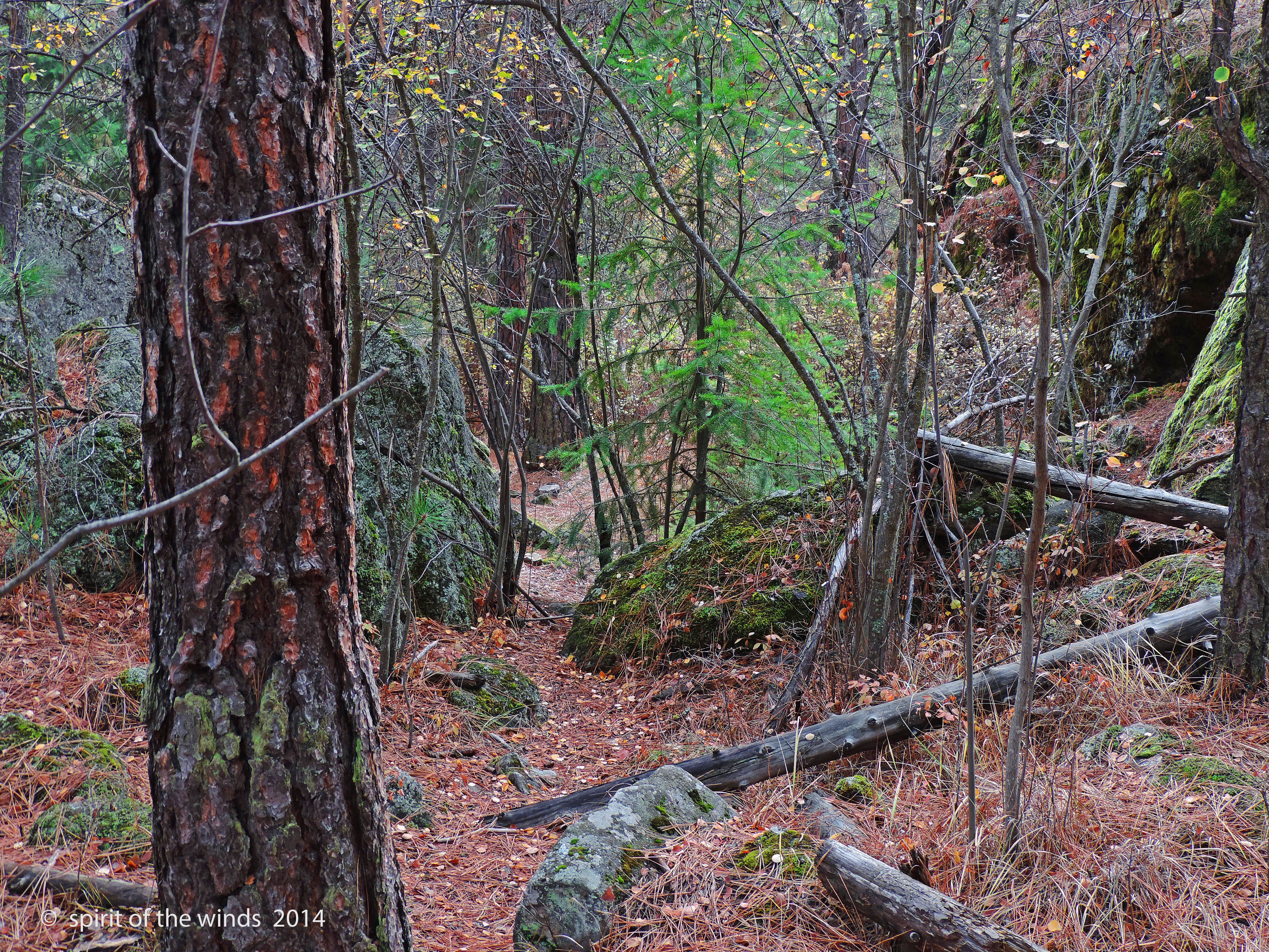
A Mountain Trail

Dishman Hills
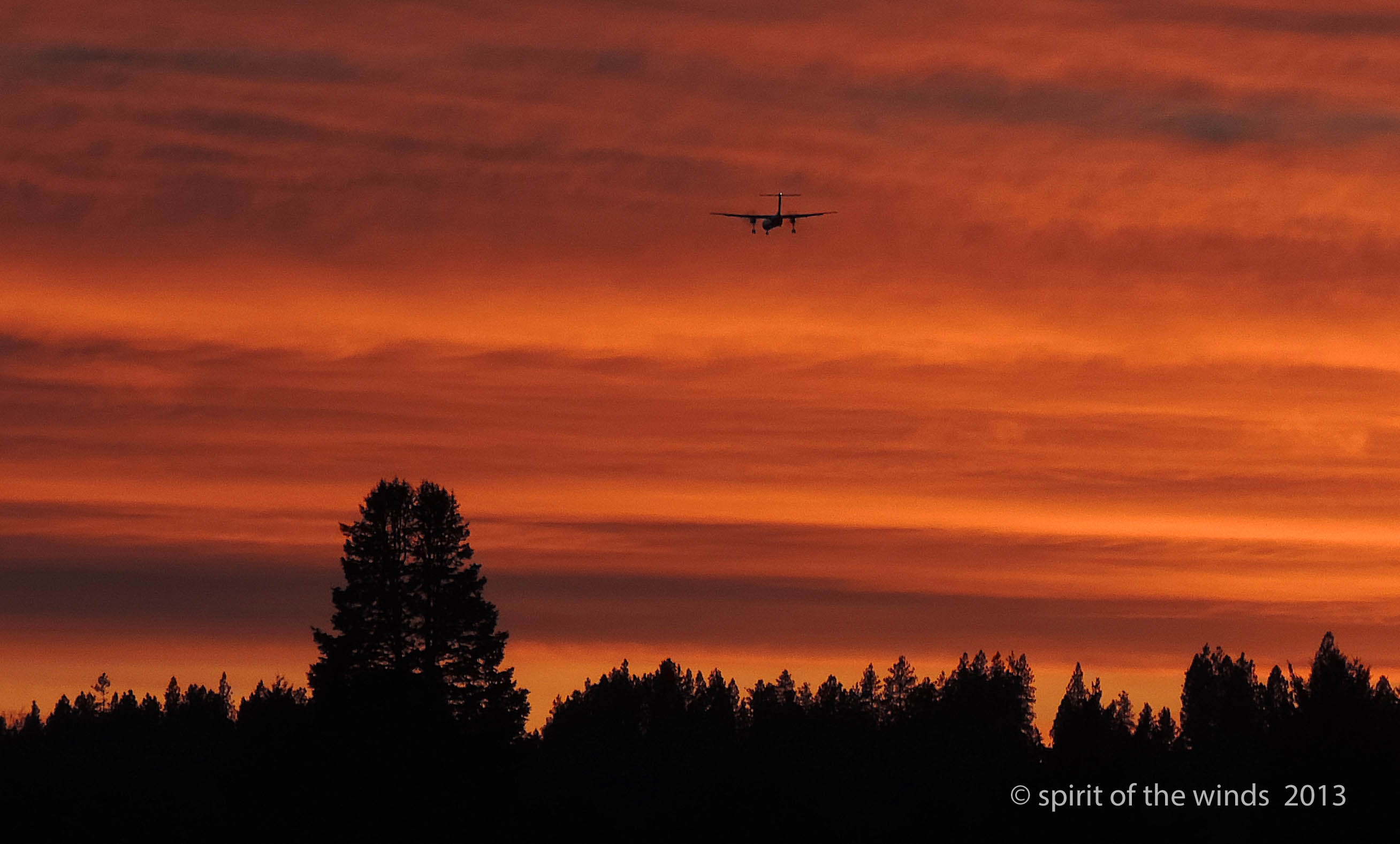
A Plane In The Sunset

the right side of the tracks
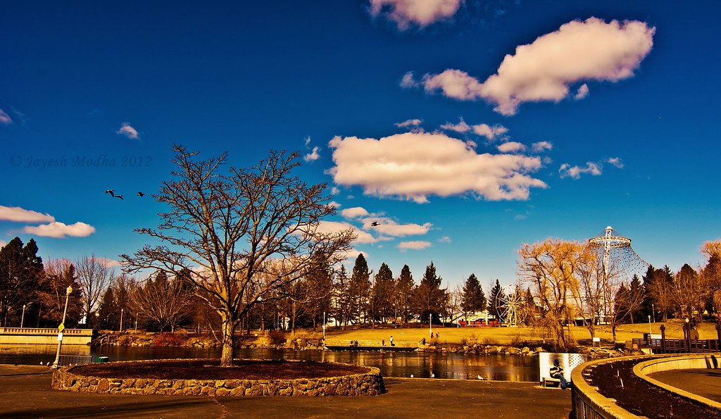
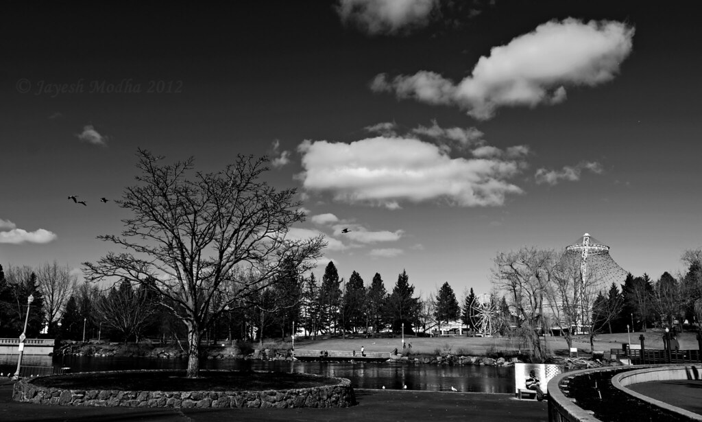
Riverfront Park (Tokina 11-16mm f2.8)
Riverfront Park (Tokina 11-16mm)
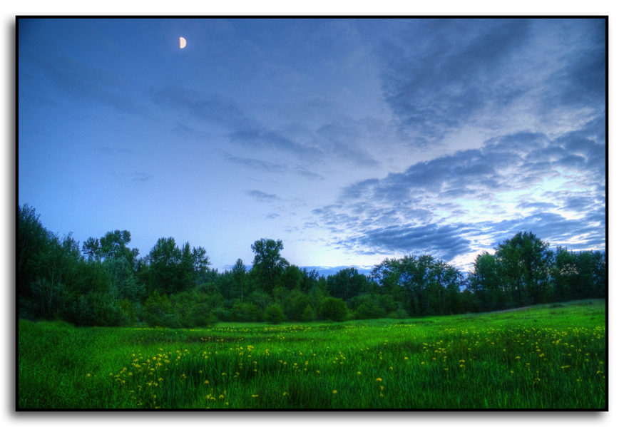
Moon Over Iris
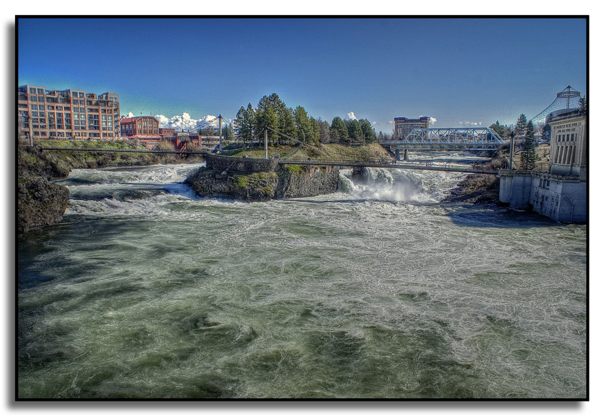
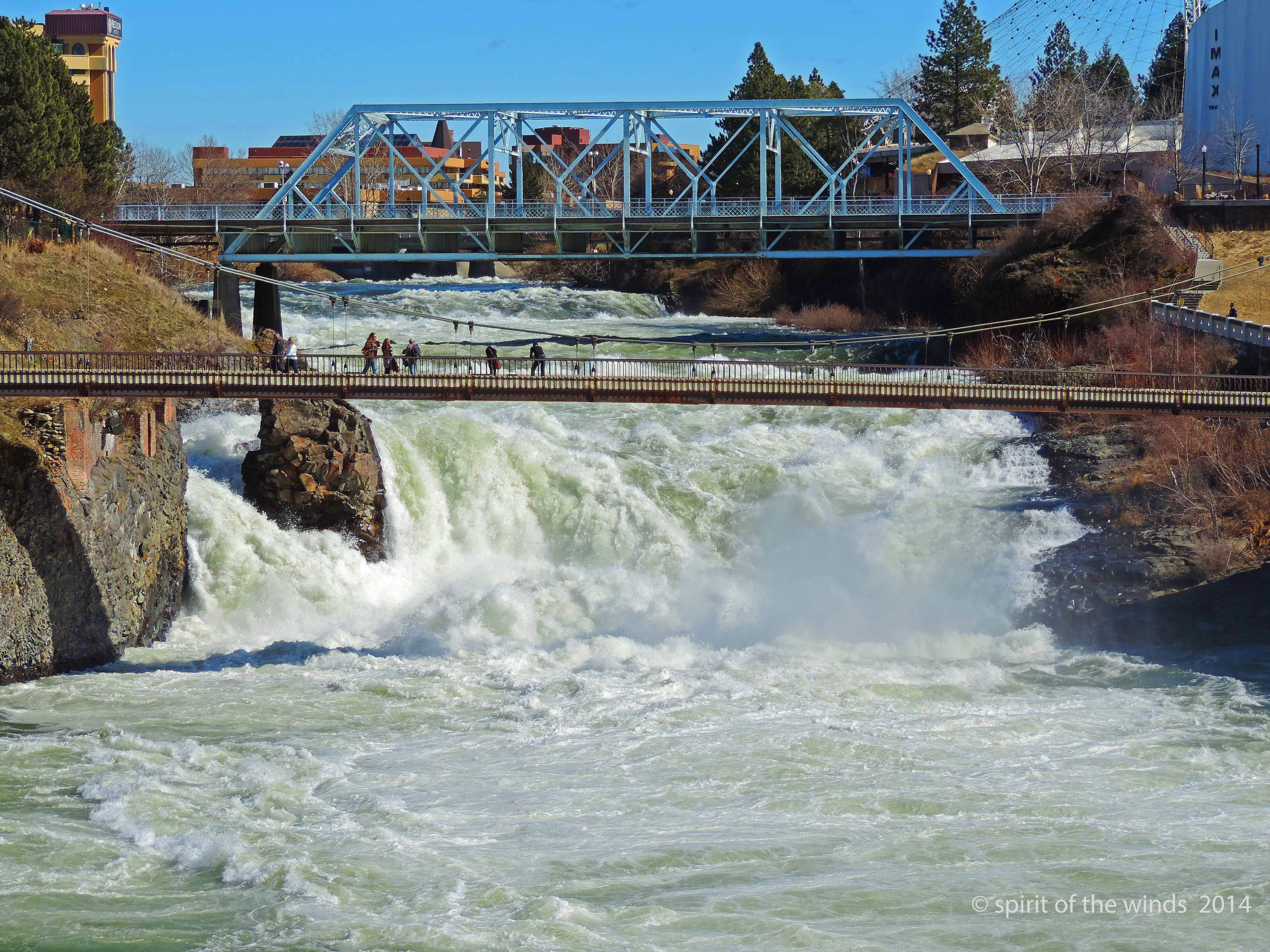
Spokane Falls
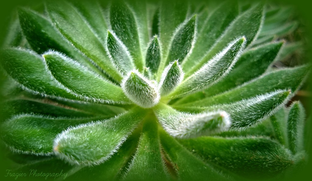
Cactus Macro
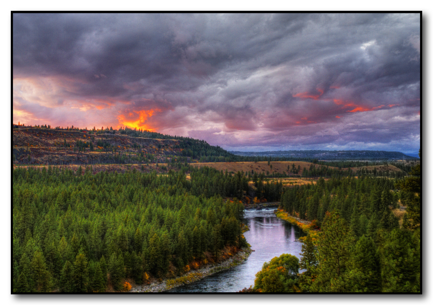
Spokane River Sunset

Gaiser Conservatory @ Manito Park
And This Is Where That

Sunset on The Plane

High Water.
Topographic Map of Spokane, WA, USA
Find elevation by address:

Places in Spokane, WA, USA:
North Indian Trail
Moran Prairie
Riverside
Northwest Spokane
Comstock
East Central
Lincoln Heights
Emerson Garfield
Rockwood
Northtown
Logan
Thorpe Westwood
Nevada / Lidgerwood
Five Mile Prairie
Whitman
Hillyard
Balboa
Latah Valley
South Perry District
Peaceful Valley
Manito
West Spokane
Chief Garry Park
E Trent Ave, Spokane Valley, WA, USA
E Wellesley Ave, Spokane, WA, USA
W 8th Ave, Spokane, WA, USA
North T J Meenach Drive
6 N Pines Rd, Spokane, WA, USA
Spokane, WA, USA
Spokane, WA, USA
West North Five Mile Road
Dartford
Spokane Falls
Bemiss
Audubon-downriver
South Cliff View Lane
Places near Spokane, WA, USA:
Spokane Falls
707 W Main Ave
1120 W Sprague Ave
Spokane County
820 N Post St
1200, 717 W Sprague Ave
700 W Main Ave
1234 W Main Ave
Spokane, WA, USA
806 N Monroe St
621 W Mallon Ave
Peaceful Valley
1508 N Wall St
1800 N Monroe St
1714 W Mission Ave
Emerson Garfield
1535 W Shannon Ave
1535 W Shannon Ave
2211 N Monroe St
925 W Montgomery Ave
Recent Searches:
- Elevation of Corso Fratelli Cairoli, 35, Macerata MC, Italy
- Elevation of Tallevast Rd, Sarasota, FL, USA
- Elevation of 4th St E, Sonoma, CA, USA
- Elevation of Black Hollow Rd, Pennsdale, PA, USA
- Elevation of Oakland Ave, Williamsport, PA, USA
- Elevation of Pedrógão Grande, Portugal
- Elevation of Klee Dr, Martinsburg, WV, USA
- Elevation of Via Roma, Pieranica CR, Italy
- Elevation of Tavkvetili Mountain, Georgia
- Elevation of Hartfords Bluff Cir, Mt Pleasant, SC, USA