Elevation of Spirit Island, Central Coast A, BC, Canada
Location: Canada > British Columbia >
Longitude: -128.10334
Latitude: 52.1592823
Elevation: 12m / 39feet
Barometric Pressure: 101KPa
Elevation Map:
Satellite Map:
Related Photos:

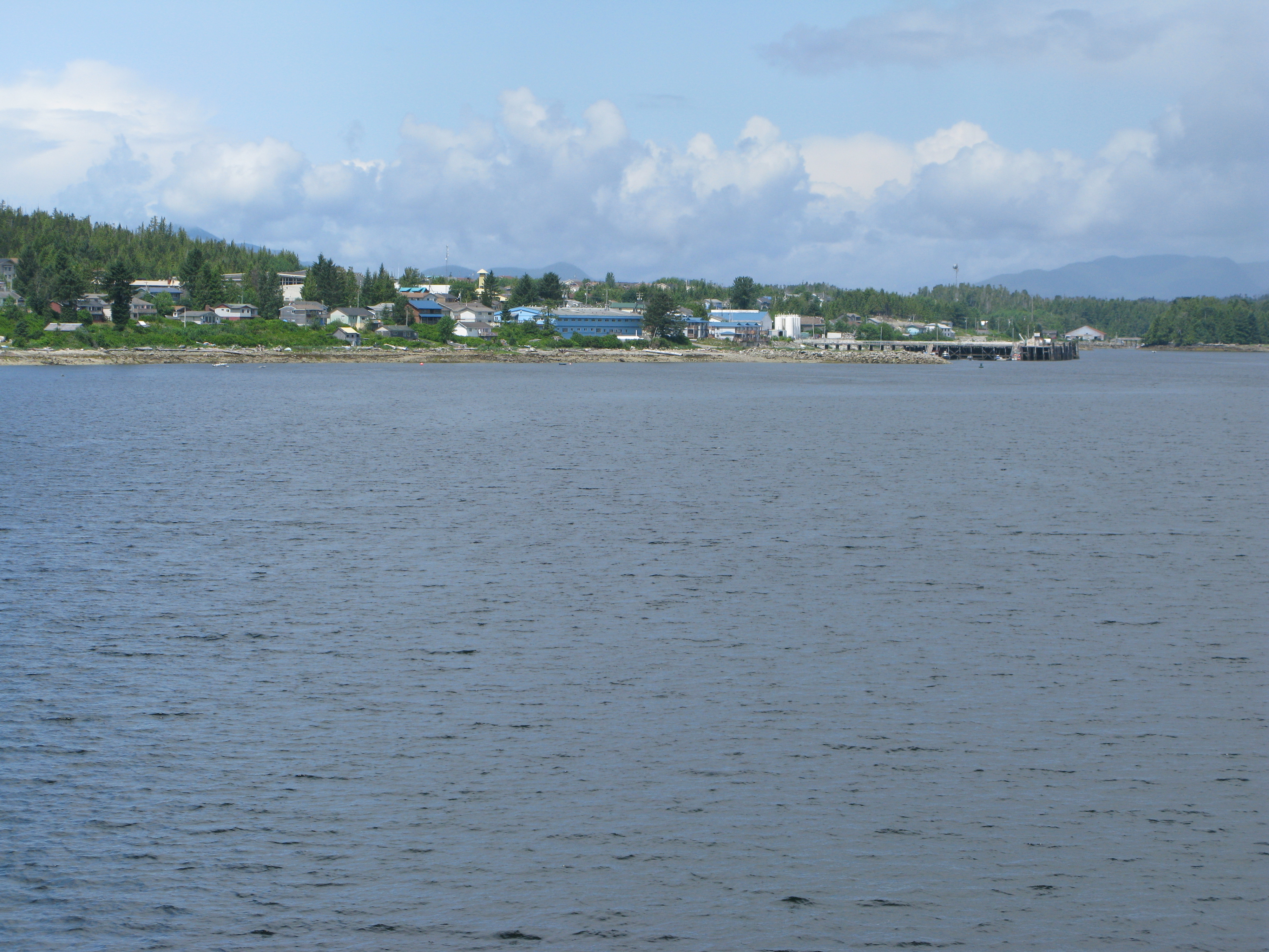
Canada Packers at Bella Bella

Time to Clean Up
Near Bella Bella, BC. July, 2010.

Going for a Picture Walk
Canadian Lighthouse (British Columbia, Canada)

Whale Watch

_8014657_2012Sep09 1715
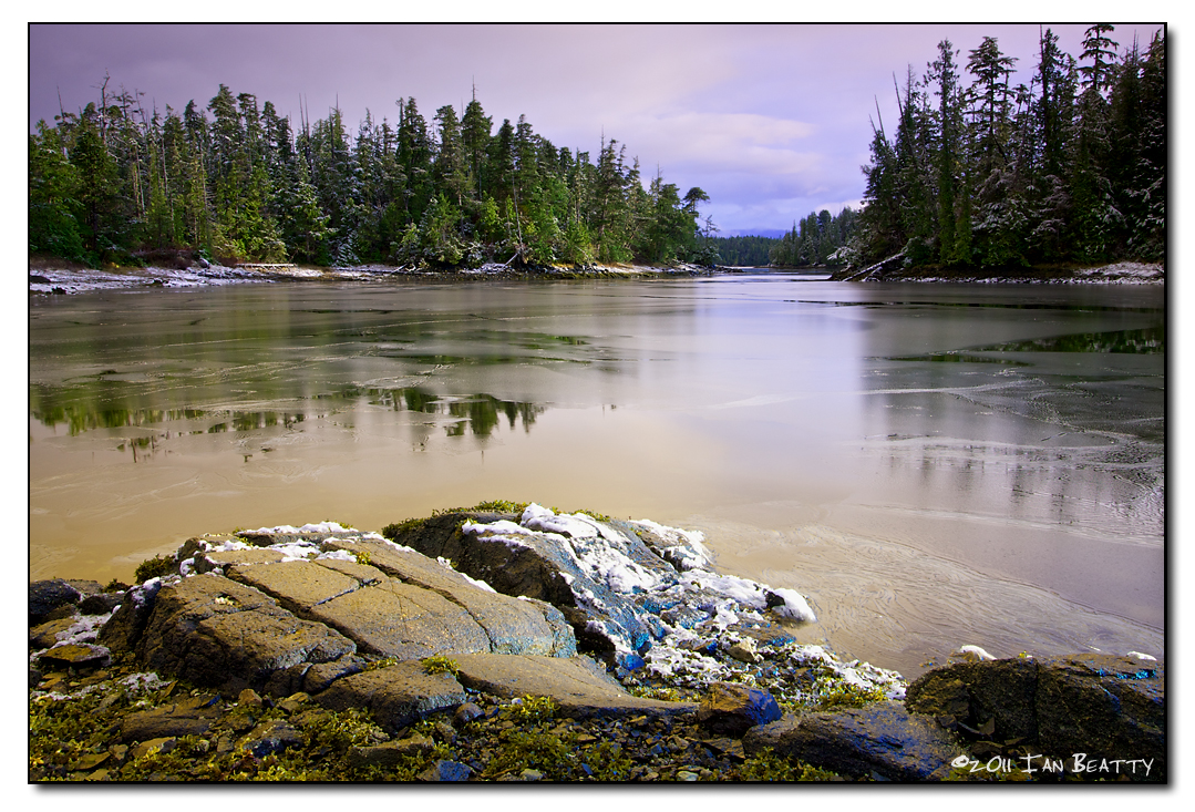
First Snow
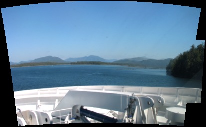
Panorama of channel up to Ocean Falls
channel up to Ocean Falls

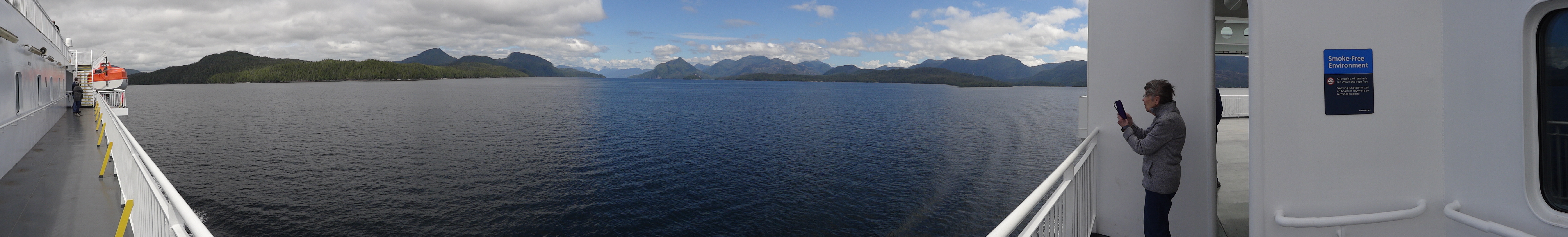
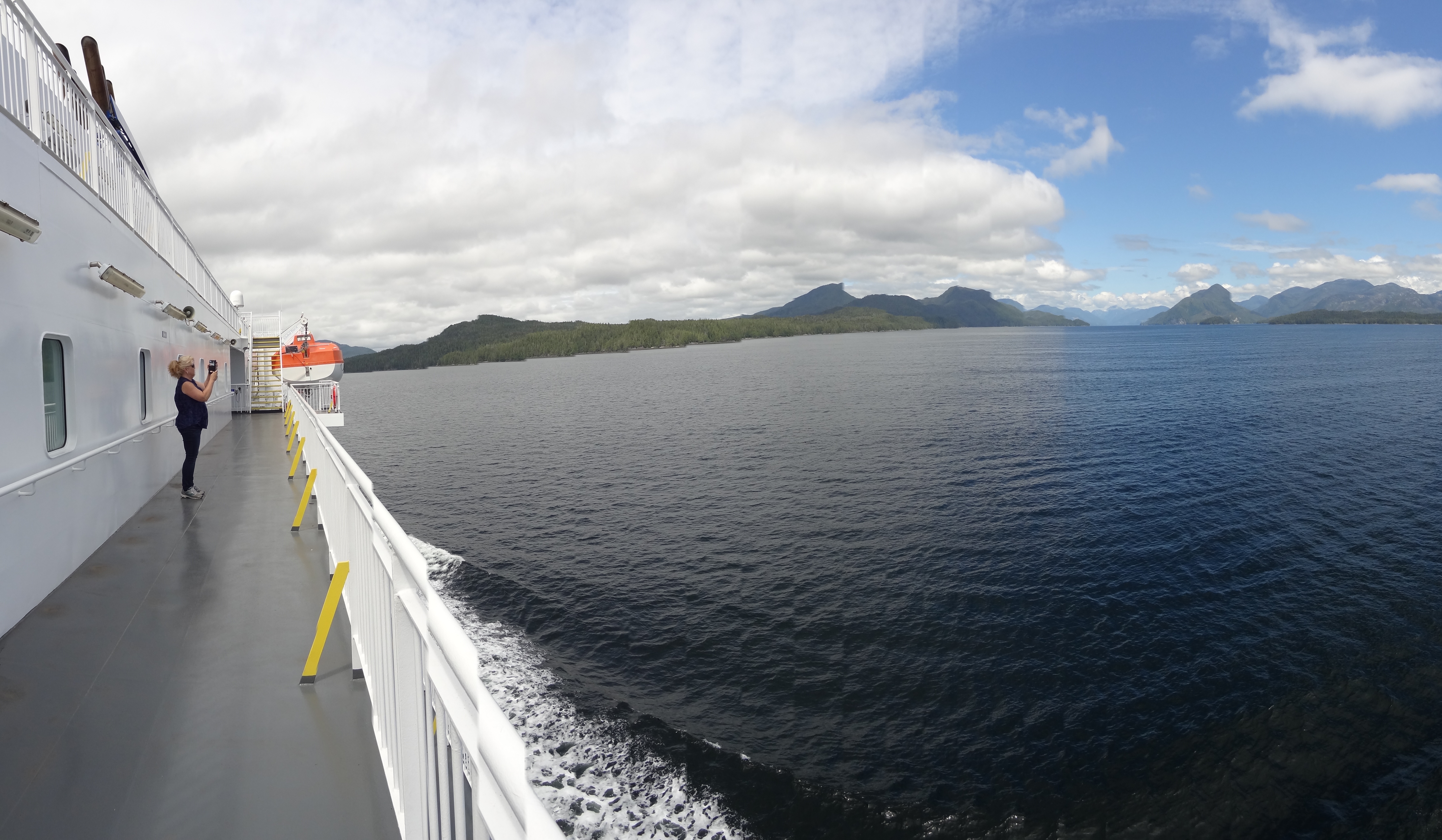
The Inside Passage
The Inside Passage
At Dryad Point (1)

Canada 2006_022
#oceanside in #bellabella #hellobc #explorecanada #itsupforit #explorebc #britishcolumbia #bcferries #westcoast
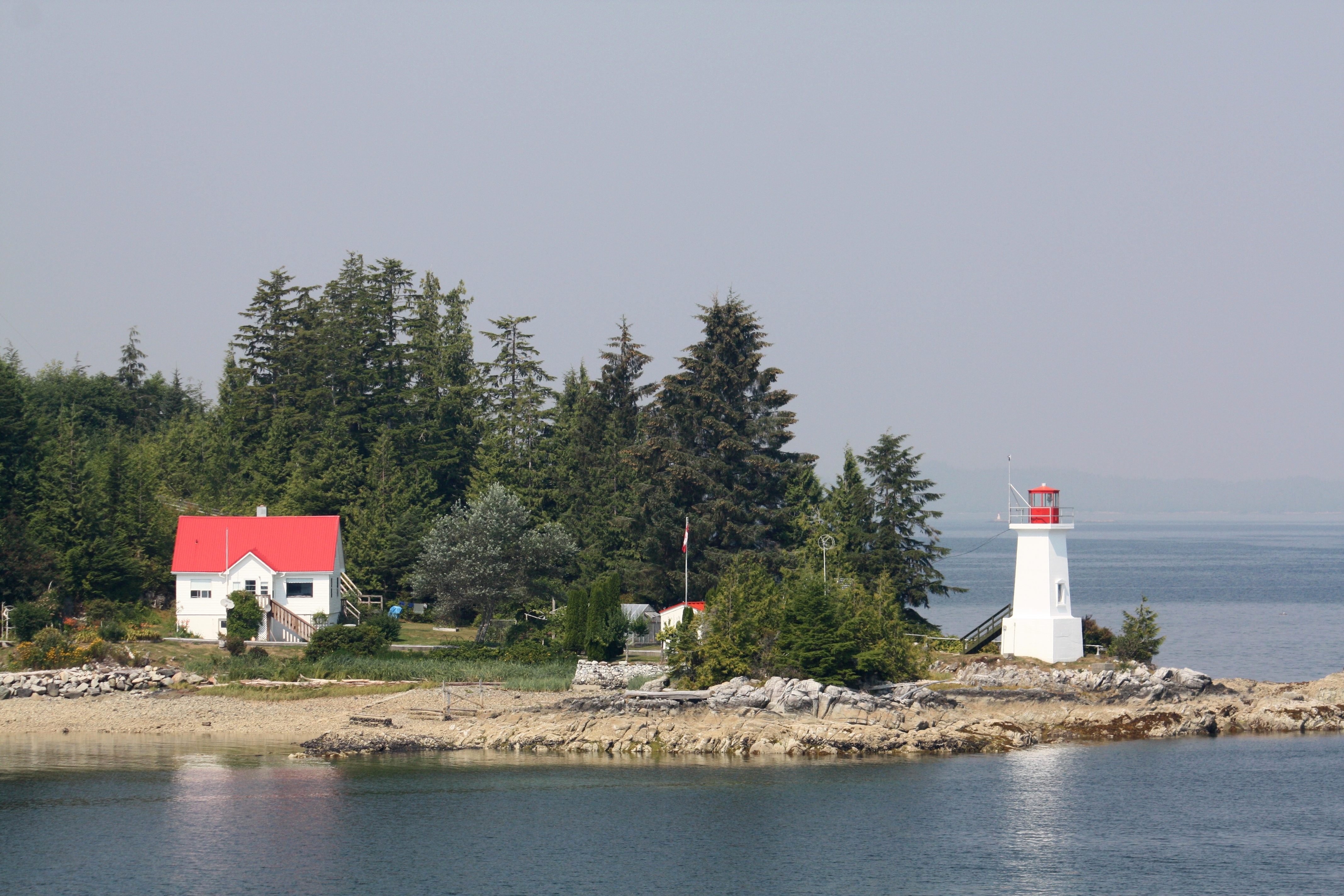
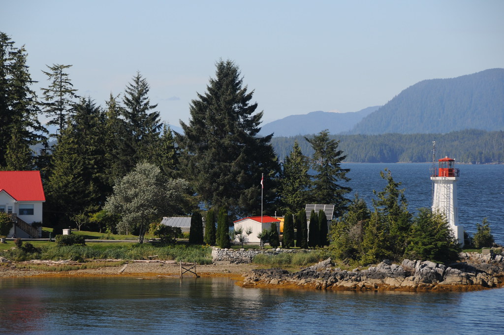
Dryad Point Light
Topographic Map of Spirit Island, Central Coast A, BC, Canada
Find elevation by address:

Places near Spirit Island, Central Coast A, BC, Canada:
Recent Searches:
- Elevation of Corso Fratelli Cairoli, 35, Macerata MC, Italy
- Elevation of Tallevast Rd, Sarasota, FL, USA
- Elevation of 4th St E, Sonoma, CA, USA
- Elevation of Black Hollow Rd, Pennsdale, PA, USA
- Elevation of Oakland Ave, Williamsport, PA, USA
- Elevation of Pedrógão Grande, Portugal
- Elevation of Klee Dr, Martinsburg, WV, USA
- Elevation of Via Roma, Pieranica CR, Italy
- Elevation of Tavkvetili Mountain, Georgia
- Elevation of Hartfords Bluff Cir, Mt Pleasant, SC, USA