Elevation of Sparrow Hill Road, Sparrow Hill Rd, Bloomery, WV, USA
Location: United States > West Virginia > Morgan County > > Paw Paw >
Longitude: -78.452727
Latitude: 39.4486757
Elevation: 521m / 1709feet
Barometric Pressure: 95KPa
Elevation Map:
Satellite Map:
Related Photos:

West Virginia Angel Blanket

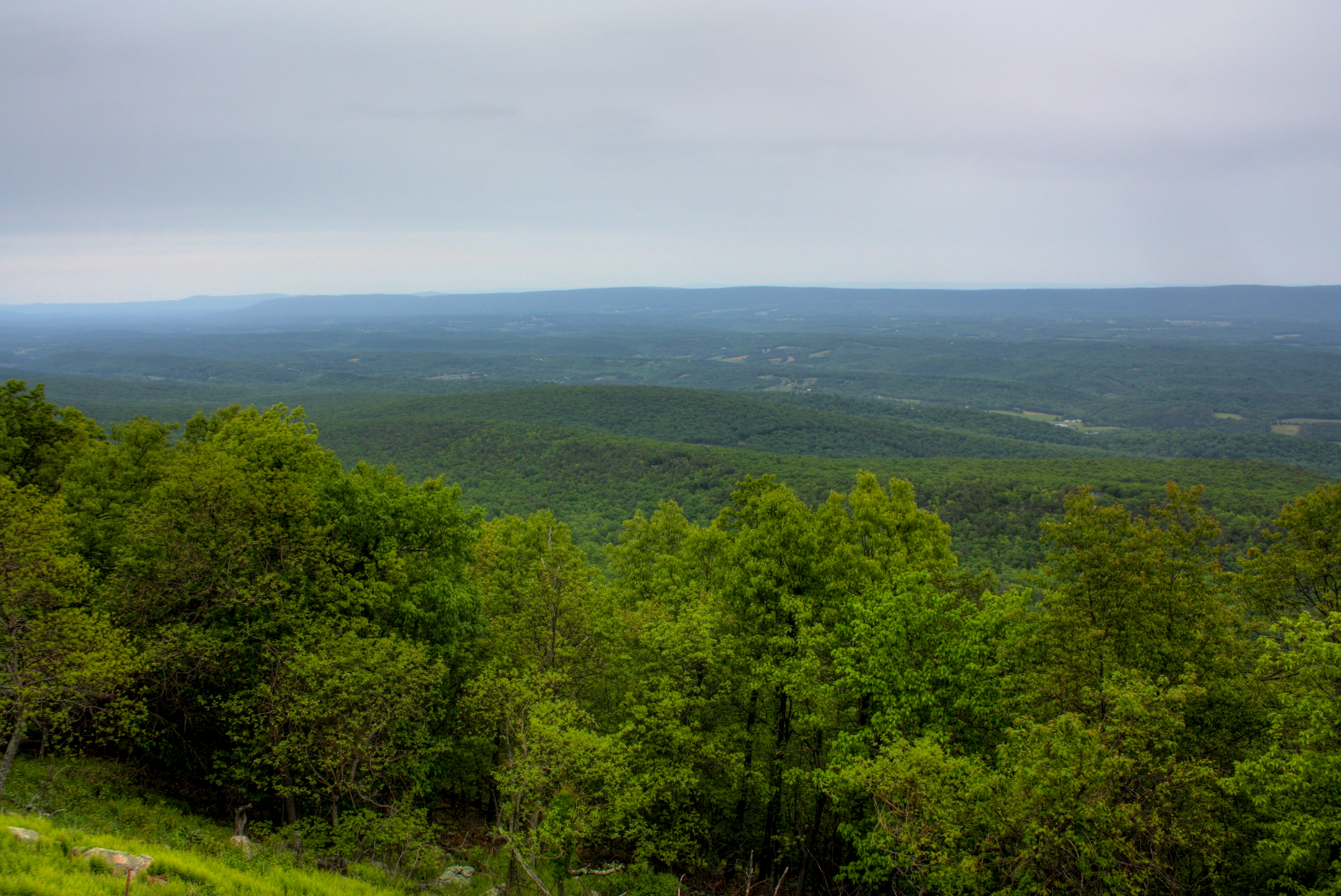
The View

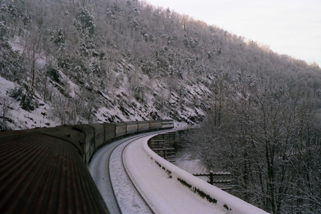
B&O Westbound, Stuart Tunnel, 1972

Freight Through a Tunnel

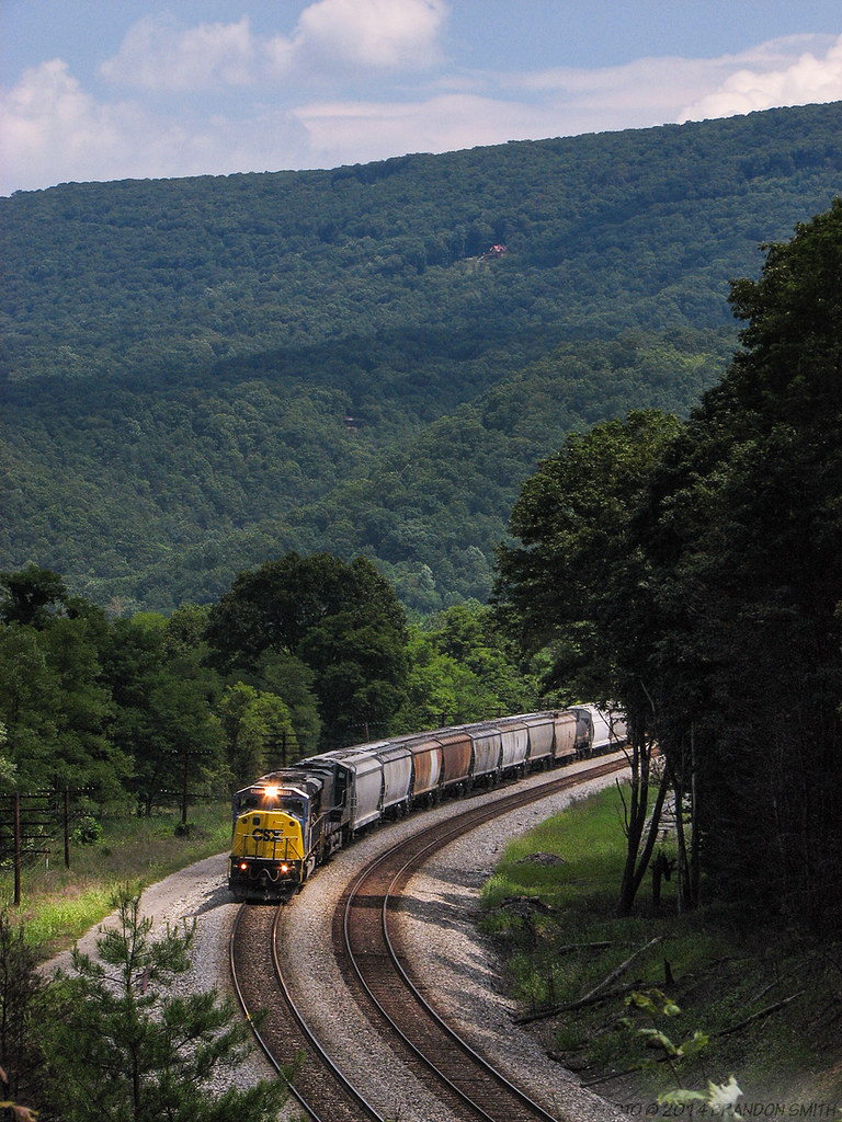
Q249 WB @ Carothers Tunnel

Tunnel View

Into The Depths

Tunnel View

Capacon Overlook
Magnolia Cut-Off

Capacon Overlook

Capacon Overlook

Log Roll Overlook - Northwest

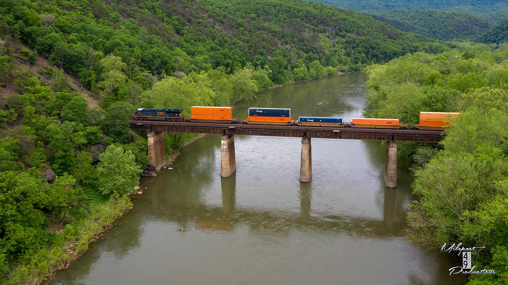
Magnolia Bridges

Magnolia Bridge

Cacapon View
View From the Mountain Overlook

Capacon Overlook

IMG_2342.JPG

IMG_2334.JPG

IMG_2332.JPG

Amtrak 30 - Paw Paw, WV
CSX Q016 - Paw Paw, WV

Castle Rock

Magnolia Bend of the Potomac River

The peaceful #northriver meandering along the base of #icemountain #northrivermillsday #northrivermills #almostheaven #wildandwonderful #westvirginia #hampshirecountywv

MAGNOLIA FOG

Green mail

The west in West Virginia

CSX Q216-28 - Paw Paw, WV
In the Spotlight

Nude Hiking - Avalon

C&O Canal National Historic Park, Maryland

C&O Canal National Historical Park, Maryland

Parallel Rays

And then Saturday arrived!

JDA_9141_HDR.jpg

Though leaves are many the root is one;
Topographic Map of Sparrow Hill Road, Sparrow Hill Rd, Bloomery, WV, USA
Find elevation by address:

Places near Sparrow Hill Road, Sparrow Hill Rd, Bloomery, WV, USA:
Fountain View Drive
1549 Sparrow Hill Rd
1540 Sparrow Hill Rd
1540 Sparrow Hill Rd
1548 Sparrow Hill Rd
1548 Sparrow Hill Rd
1546 Sparrow Hill Rd
113 Wolf Hollow Ct
1700 Tower Rd
Wolf Hollow Court
Wolf Hollow Court
Wolf Hollow Court
Lawyer Lane
275 Lee's Ln
290 White Oak Trail
342 E Redstone Trail
342 E Redstone Trail
Crossings View Road
Castle Rock
Paw Paw
Recent Searches:
- Elevation of Corso Fratelli Cairoli, 35, Macerata MC, Italy
- Elevation of Tallevast Rd, Sarasota, FL, USA
- Elevation of 4th St E, Sonoma, CA, USA
- Elevation of Black Hollow Rd, Pennsdale, PA, USA
- Elevation of Oakland Ave, Williamsport, PA, USA
- Elevation of Pedrógão Grande, Portugal
- Elevation of Klee Dr, Martinsburg, WV, USA
- Elevation of Via Roma, Pieranica CR, Italy
- Elevation of Tavkvetili Mountain, Georgia
- Elevation of Hartfords Bluff Cir, Mt Pleasant, SC, USA