Elevation of Spalding, ID, USA
Location: United States > Idaho > Nez Perce County >
Longitude: -116.81737
Latitude: 46.4468317
Elevation: 248m / 814feet
Barometric Pressure: 98KPa
Elevation Map:
Satellite Map:
Related Photos:

In Full Bloom
Lewiston, Idaho
Lewiston, Idaho
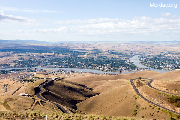
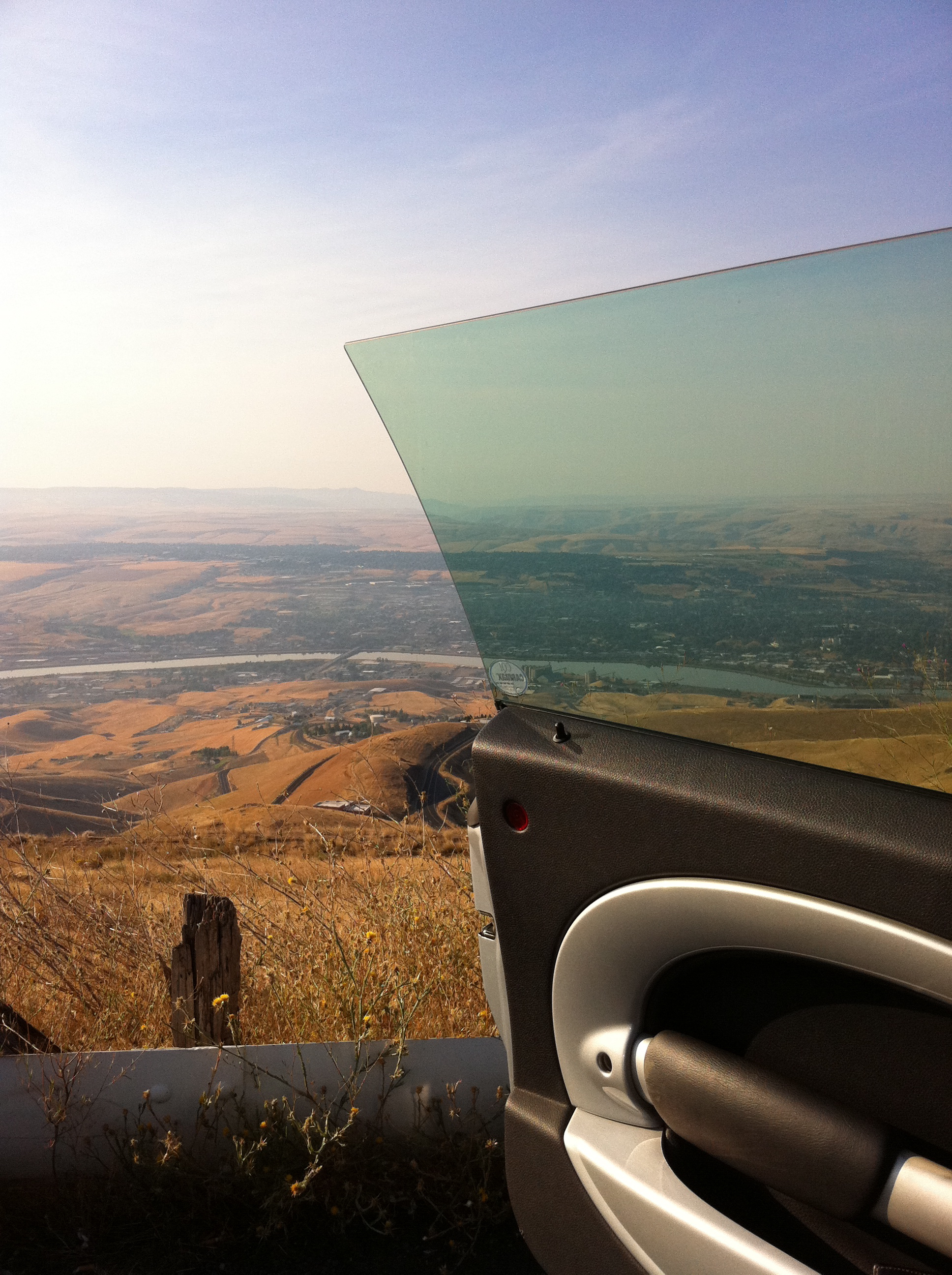
View of Lewiston, Idaho from Lewiston Hill
Lewiston-Clarkston

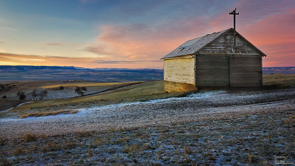
Glowing Sunset
Lewiston, Idaho

Letter "L" (Lewiston, Idaho), next to the Spiral Highway

Yellow Rape Plant
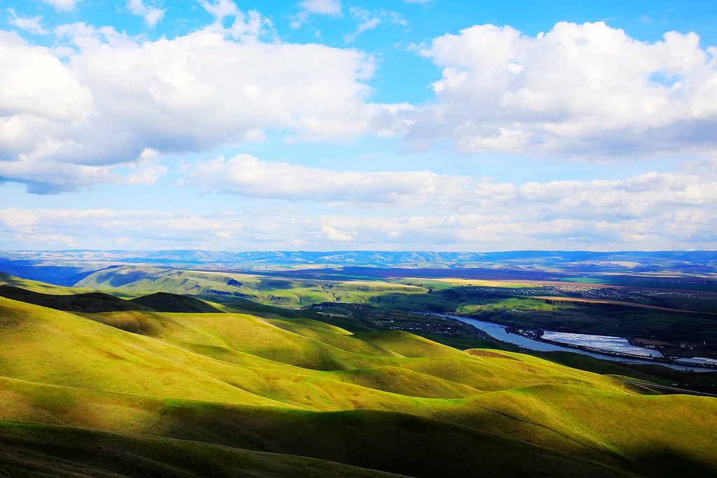
A little Palouse?

Rape Field near Culdesac, Idaho
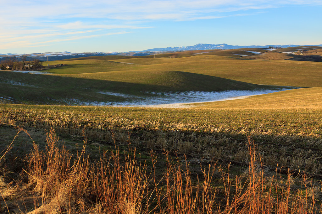
Plateau turns to desert, Lewiston

Yellowlegs Comparison
Old Spiral Highway
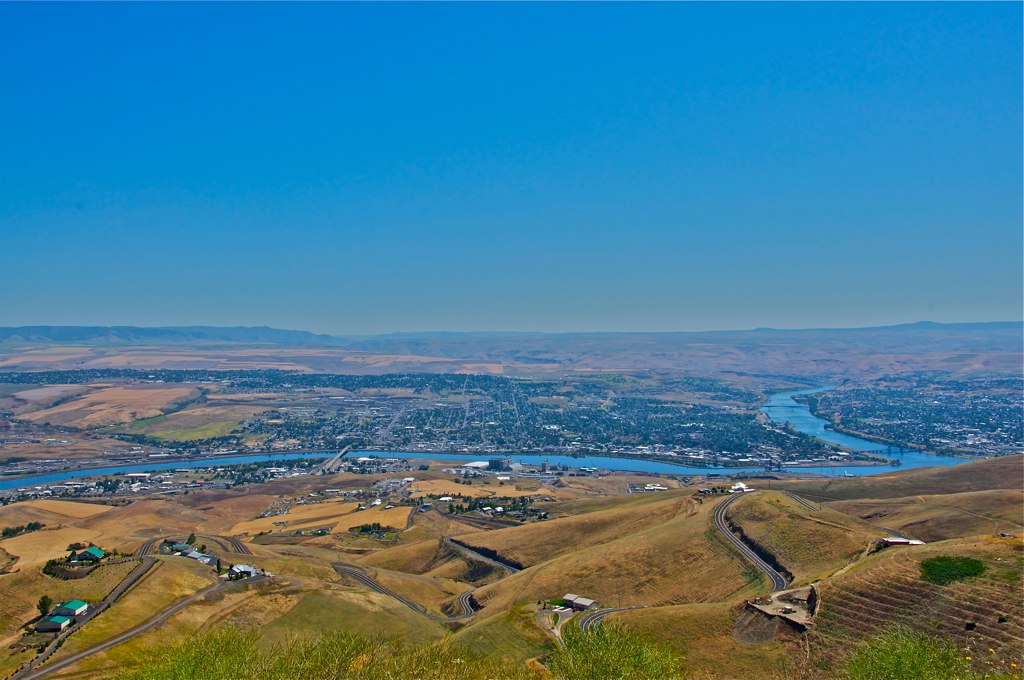
Looking down at Lewiston, Idaho
Sage Bakery Ride
Early Riser

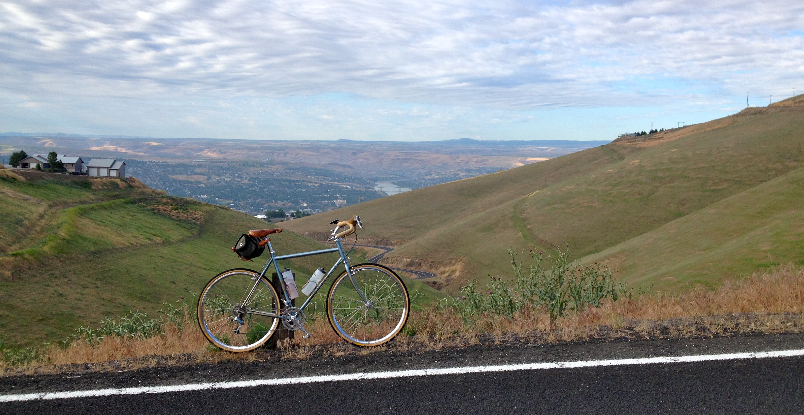
View from Lewiston Hill
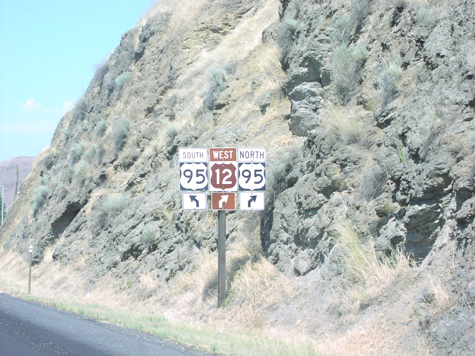
US-12 West at US-95
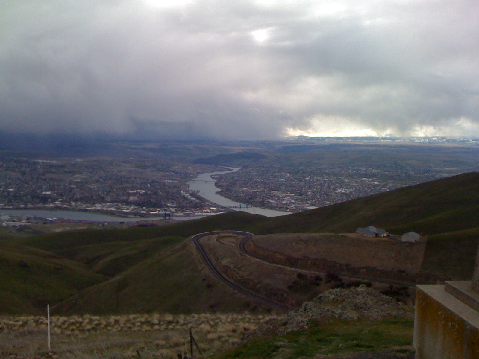
A Storm in Lewiston
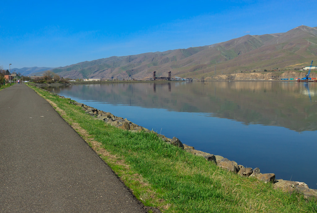
Clearwater River
Topographic Map of Spalding, ID, USA
Find elevation by address:

Places in Spalding, ID, USA:
Places near Spalding, ID, USA:
Watson Store Rd, Lapwai, ID, USA
22144 Spirea Ln
Silver Dr, Spalding, ID, USA
Howard Gulch, Juliaetta, ID, USA
Arrow Highline Road
US-12, Juliaetta, ID, USA
7105 Flyby Dr
1190 Bighorn Dr
Mill Rd, Lewiston, ID, USA
225 E Oak Ave
Genesee
15432 Evans Rd
Camas Prairie
East Main Street
23748 Big Sky Ln
Idaho Street
Waffles N' More
Idaho St, Lewiston, ID, USA
828 Main St
712 10th Ave
Recent Searches:
- Elevation of Corso Fratelli Cairoli, 35, Macerata MC, Italy
- Elevation of Tallevast Rd, Sarasota, FL, USA
- Elevation of 4th St E, Sonoma, CA, USA
- Elevation of Black Hollow Rd, Pennsdale, PA, USA
- Elevation of Oakland Ave, Williamsport, PA, USA
- Elevation of Pedrógão Grande, Portugal
- Elevation of Klee Dr, Martinsburg, WV, USA
- Elevation of Via Roma, Pieranica CR, Italy
- Elevation of Tavkvetili Mountain, Georgia
- Elevation of Hartfords Bluff Cir, Mt Pleasant, SC, USA