Elevation of Southbank Dr, Aiken, SC, USA
Location: United States > South Carolina > Aiken County > Aiken >
Longitude: -81.703525
Latitude: 33.524107
Elevation: 147m / 482feet
Barometric Pressure: 100KPa
Elevation Map:
Satellite Map:
Related Photos:
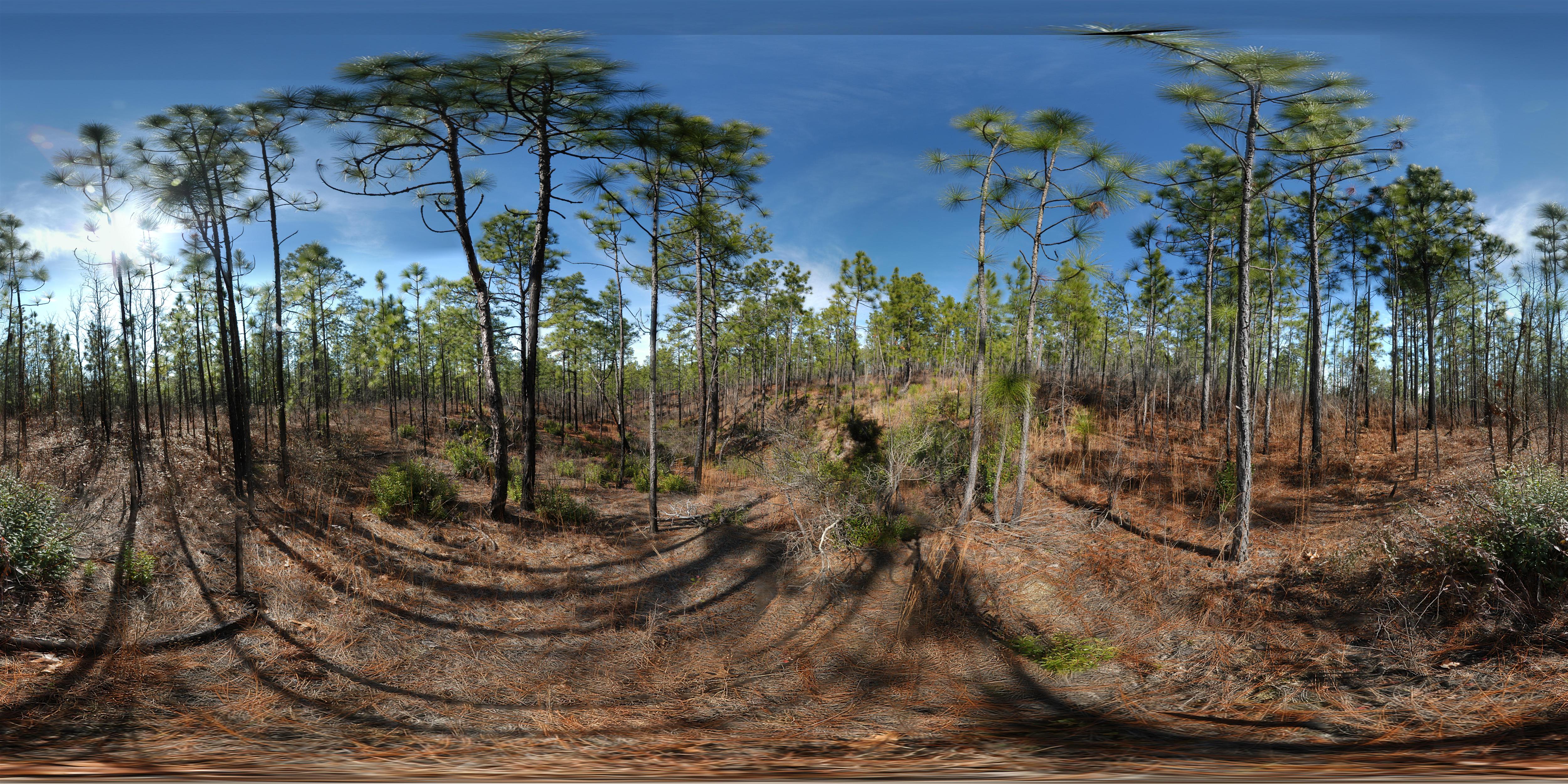
Henderson Heritage Preserve

Aiken Brewing Co., Aiken, SC

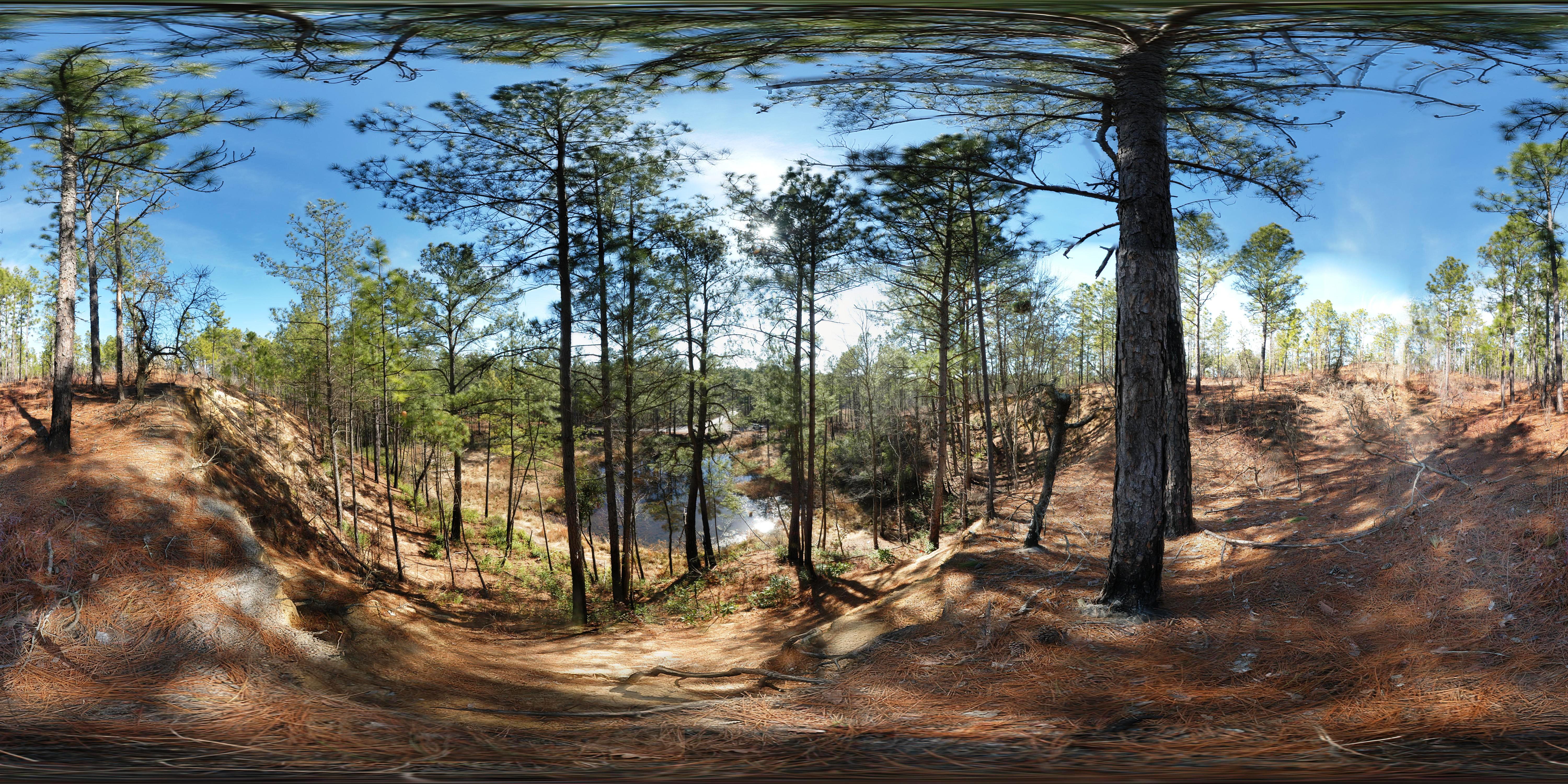
The Sand River in Hitchcock Woods Aiken

The Alley at Sunset
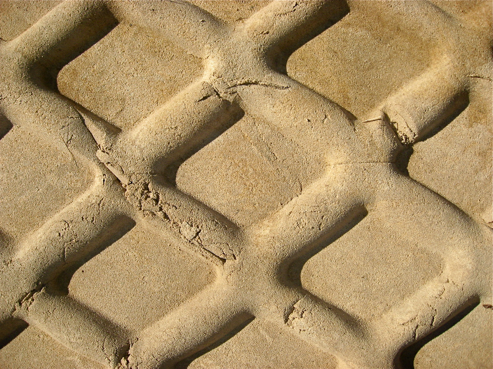
IMG_0321 Fresh Tire Track in Damp Sand
Henderson Heritage Preserve Panorama (360° x 180°)
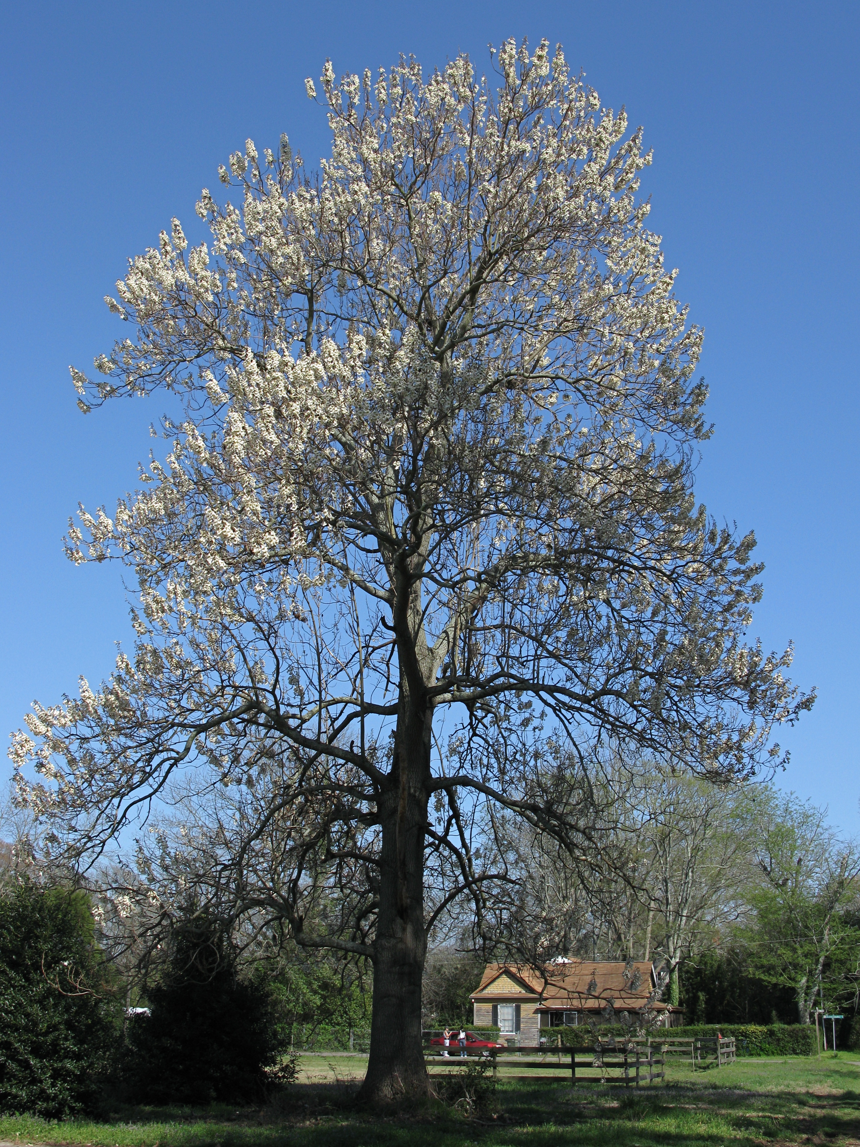
IMG_5598 Royal Empress Tree in Full Bloom (Paulownia tomentosa)

"You Want What??"

Three Views of a Paper Bag

Three Views of a Paper Bag

IMG_2327 Chesterfield St Bridge. Viewed from the Aiken Railroad Cut with the Newberry St and Laurens St bridges beyond.
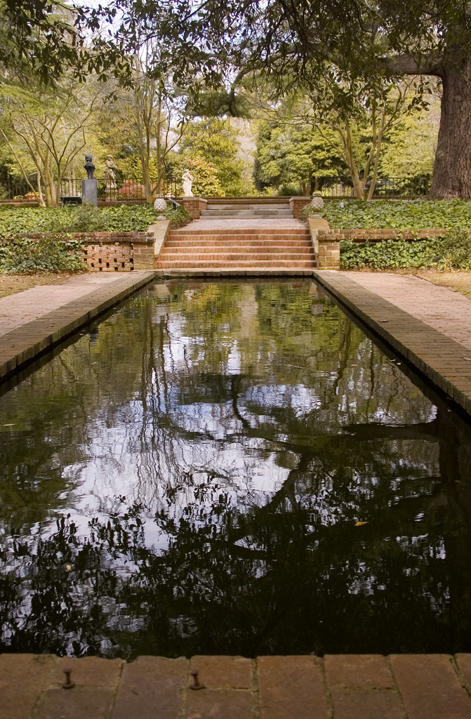
Hopeland Gardens fountains 3

Hopeland Gardens fountains 2
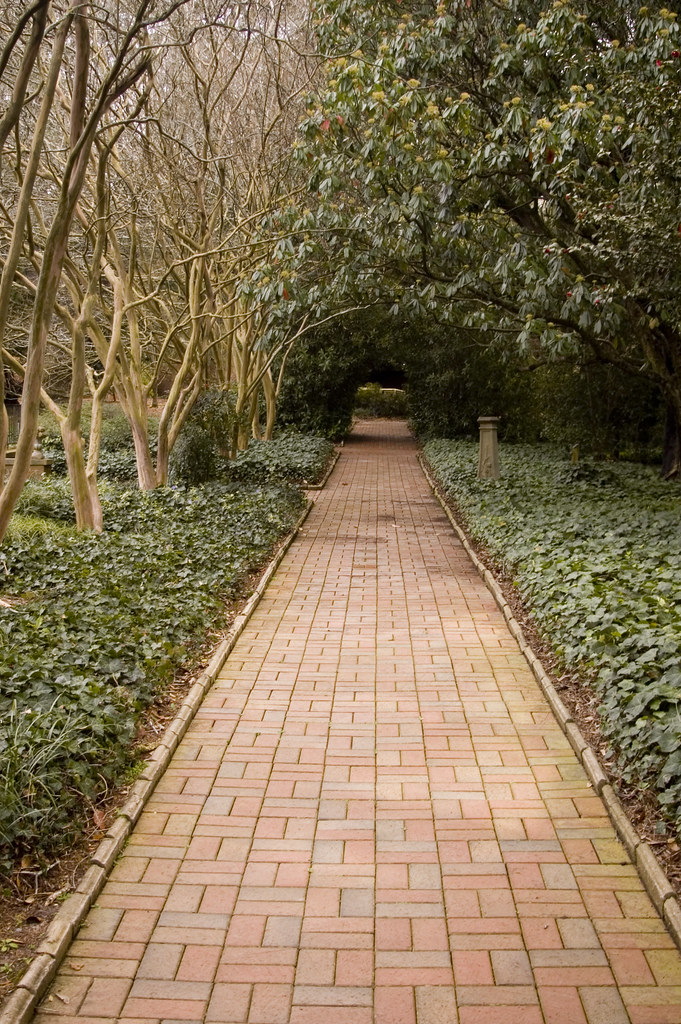
Hopeland Gardens Path
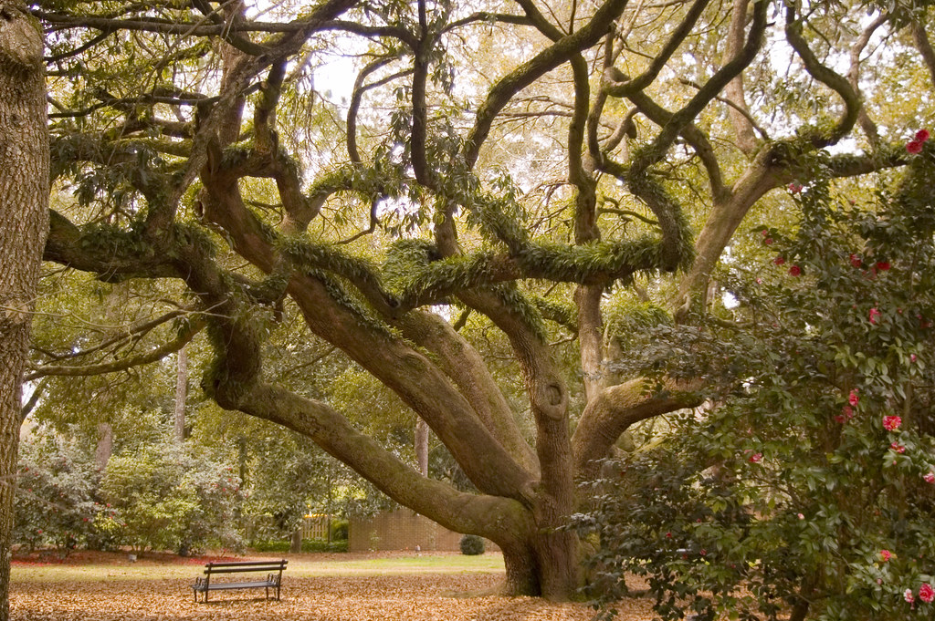
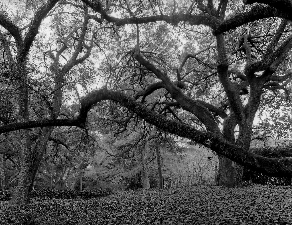
Live Oak

2005-04-20 Sand River Hitchcock Woods Aiken 03 Crop
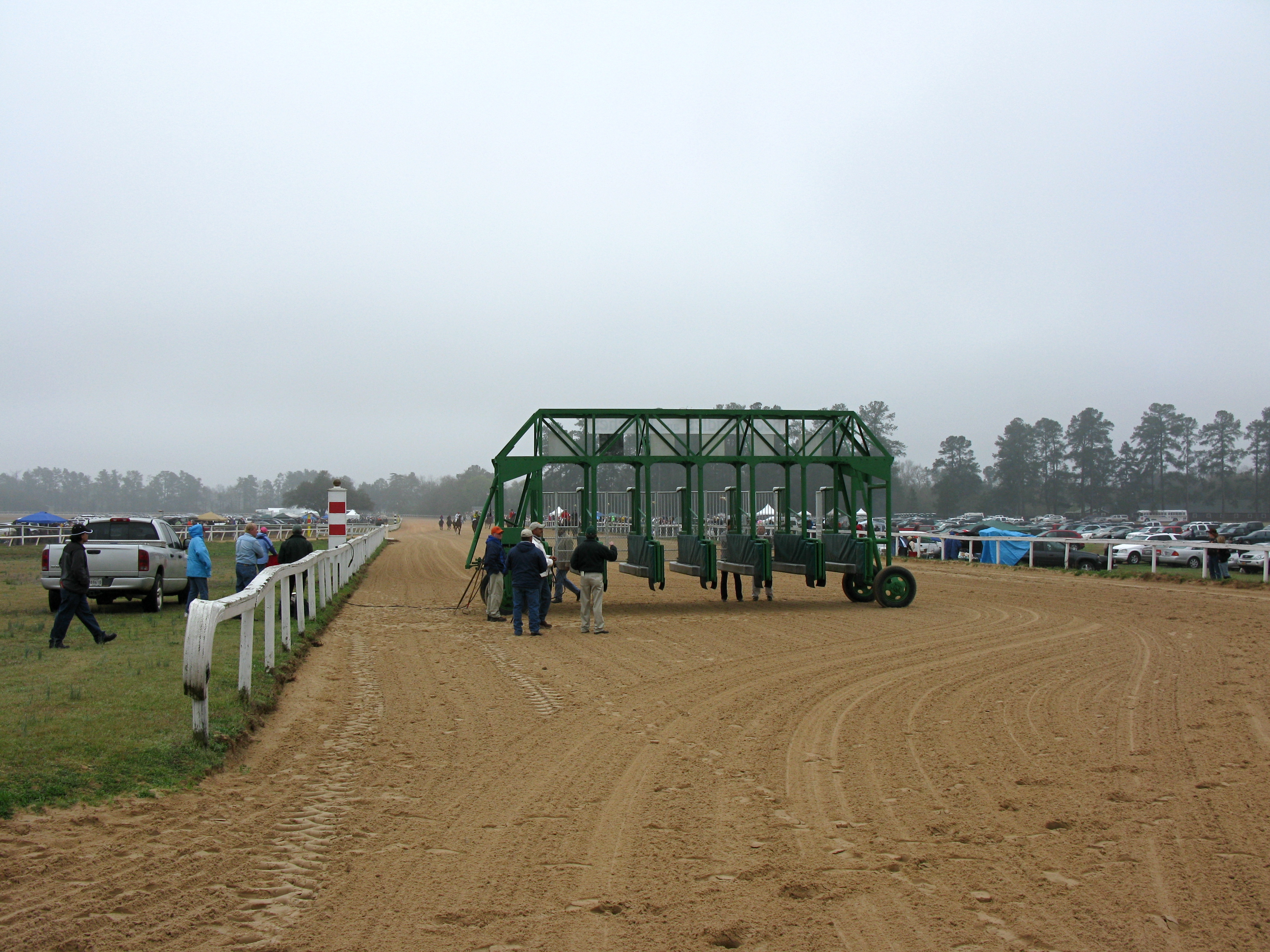
IMG_5421 View of Starting Gate and Race Crowd before the 1st Race
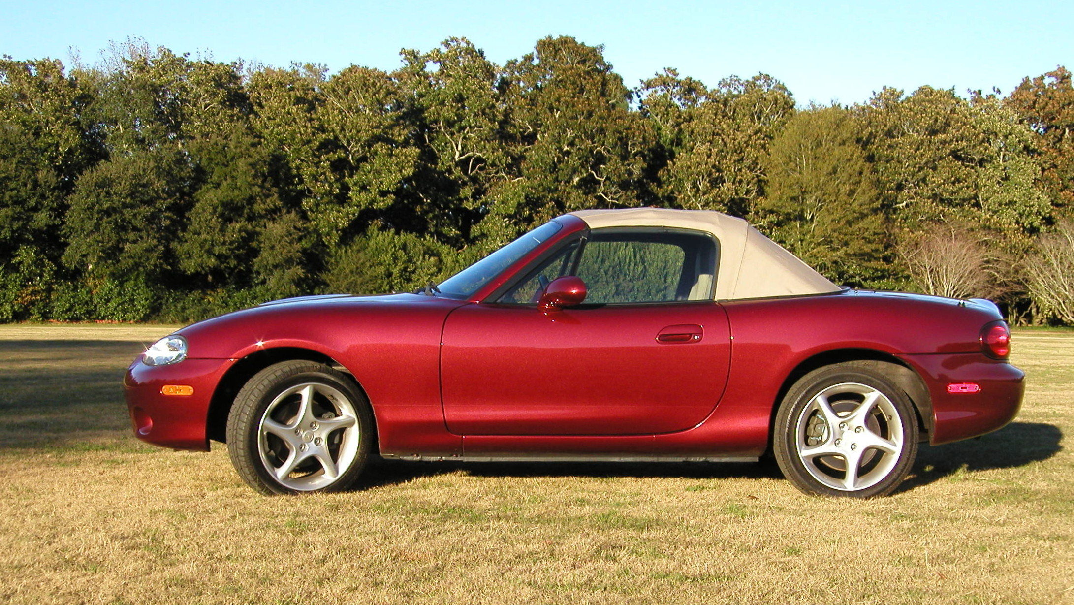
Side View When New
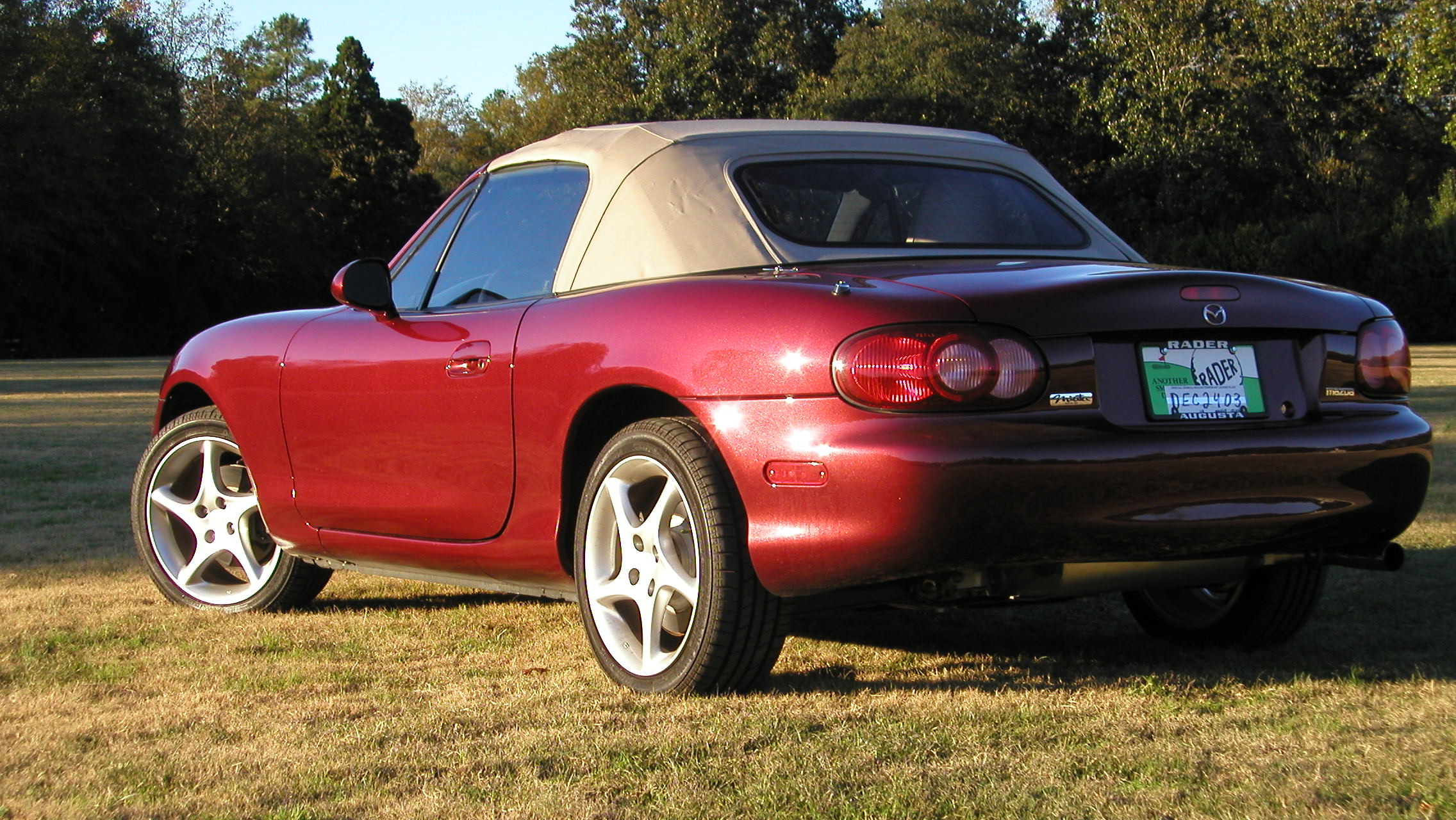
Rear View When New
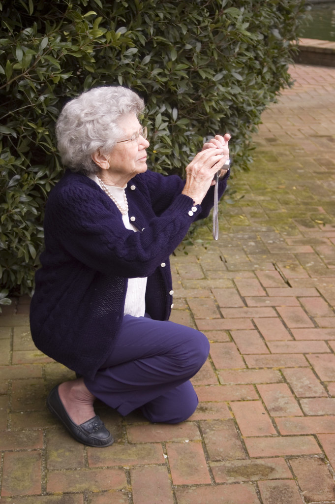
Mom photographer
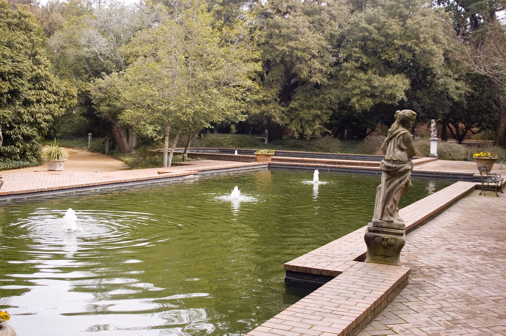
Hopeland Gardens fountains 1

Live Oak Lined South Boundary Avenue, Aiken, SC

Last night's clouds
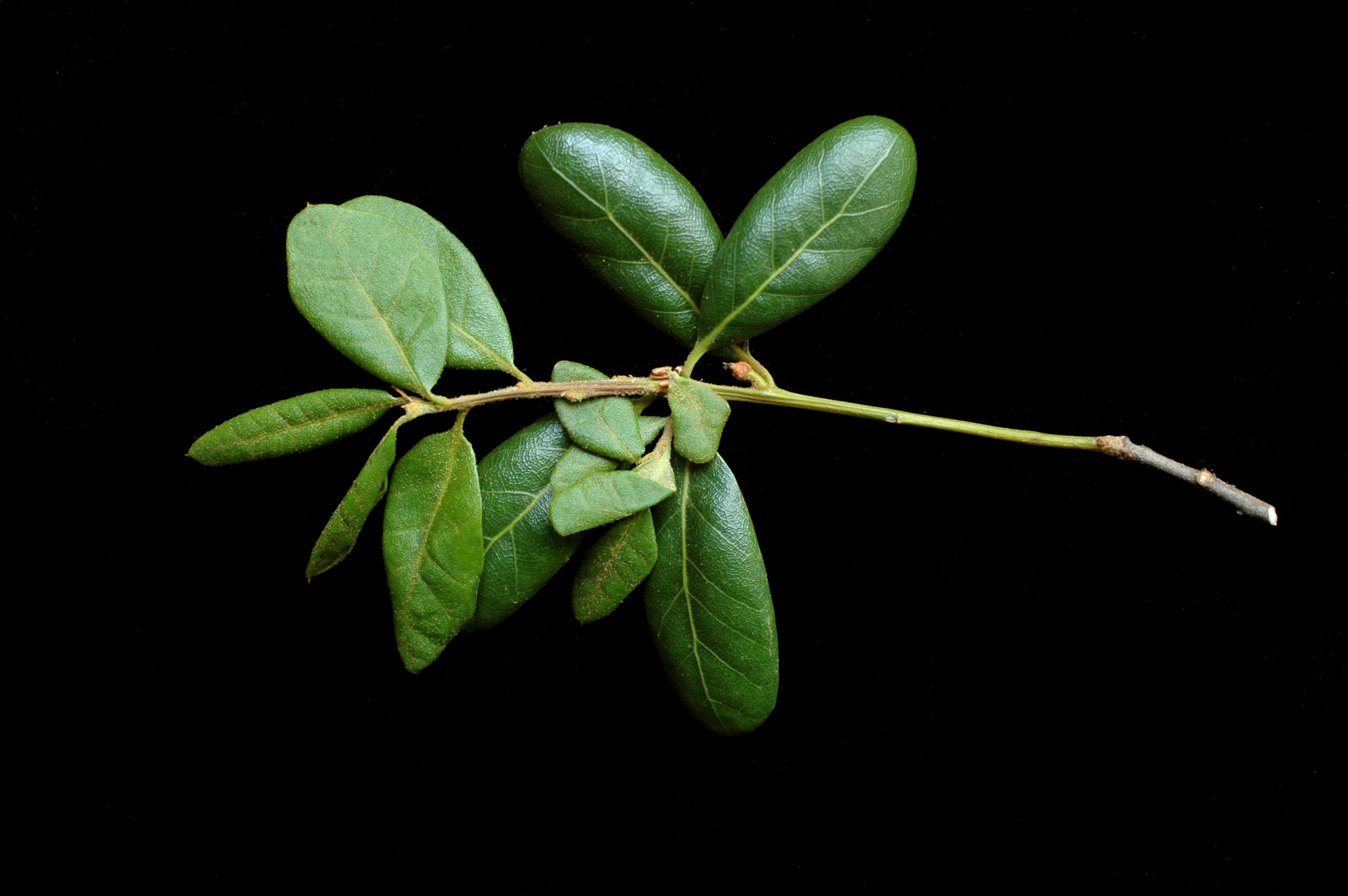
Quercus inopina
Evening Walk 4-14-15

Sage Valley Golf Course

09-2012 - Project MCP Fall Colors

Evening walk 4-14-15
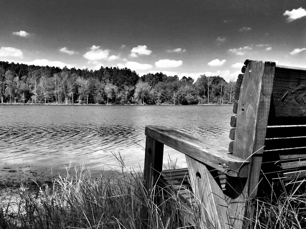
Weathered Bench
Quercus inopina
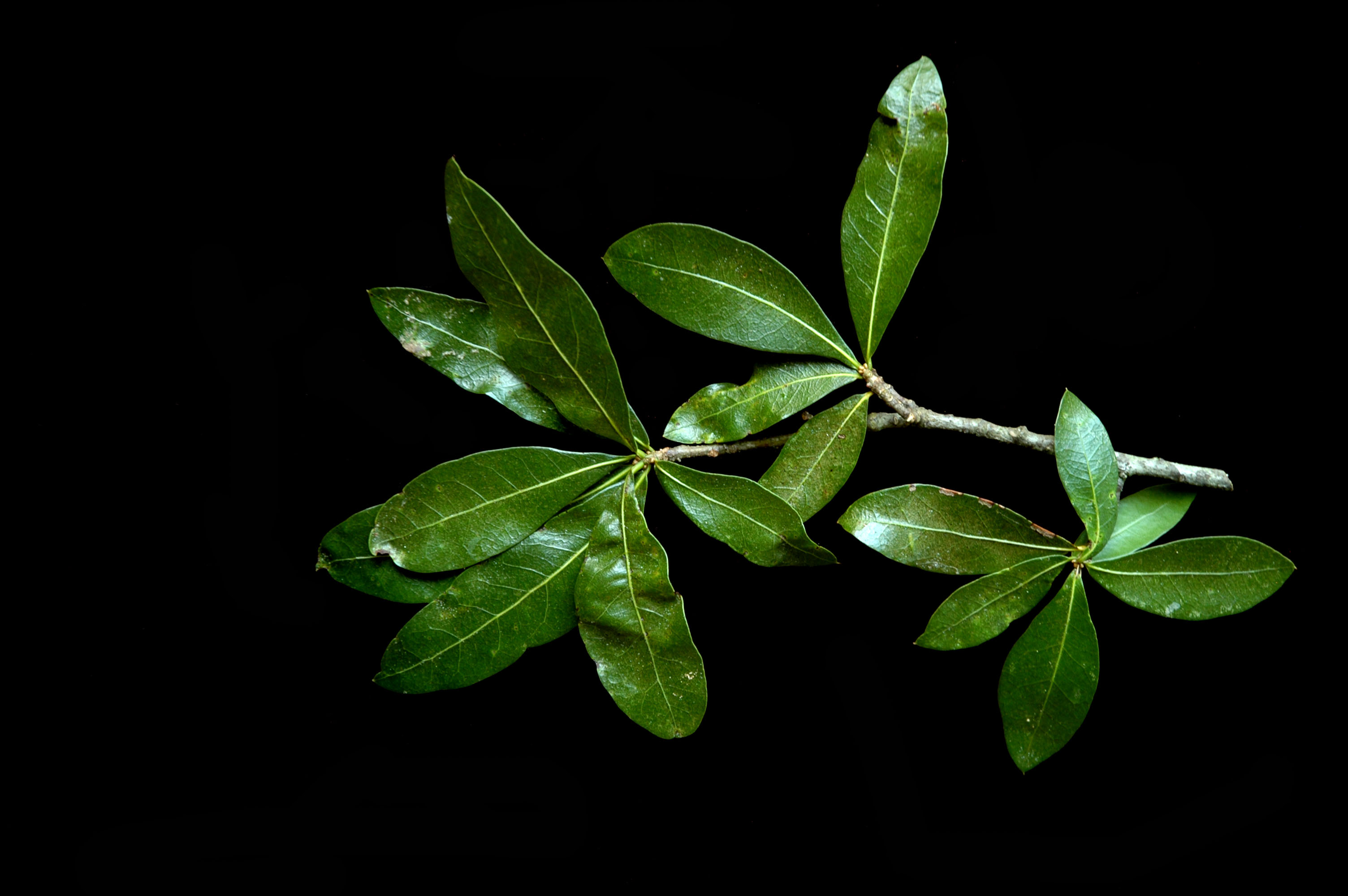
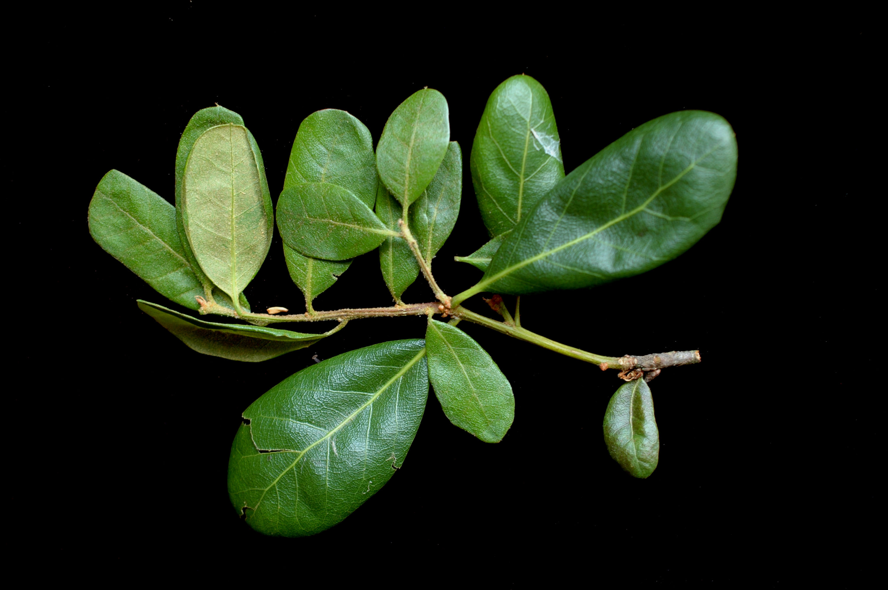
Quercus hemisphaerica
Tree in the woods, Aiken, SC
My neighborhood
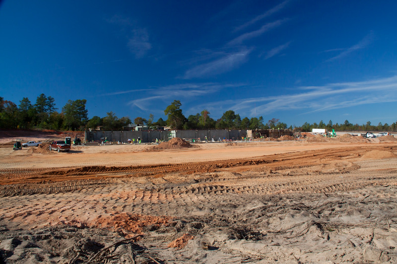
Aiken County Government Center 11-2-12
Aiken County Government Center - 9-14-2012
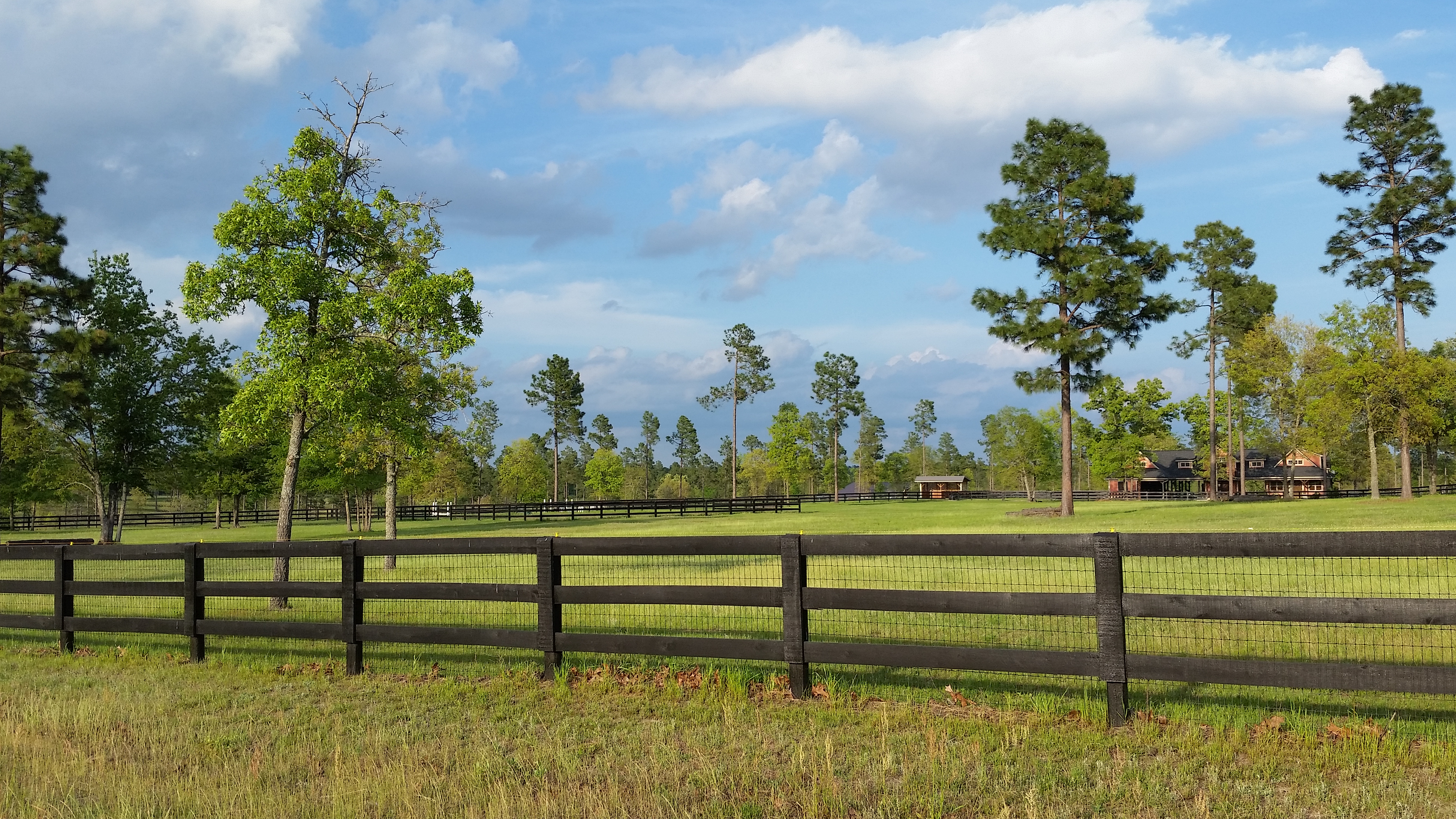
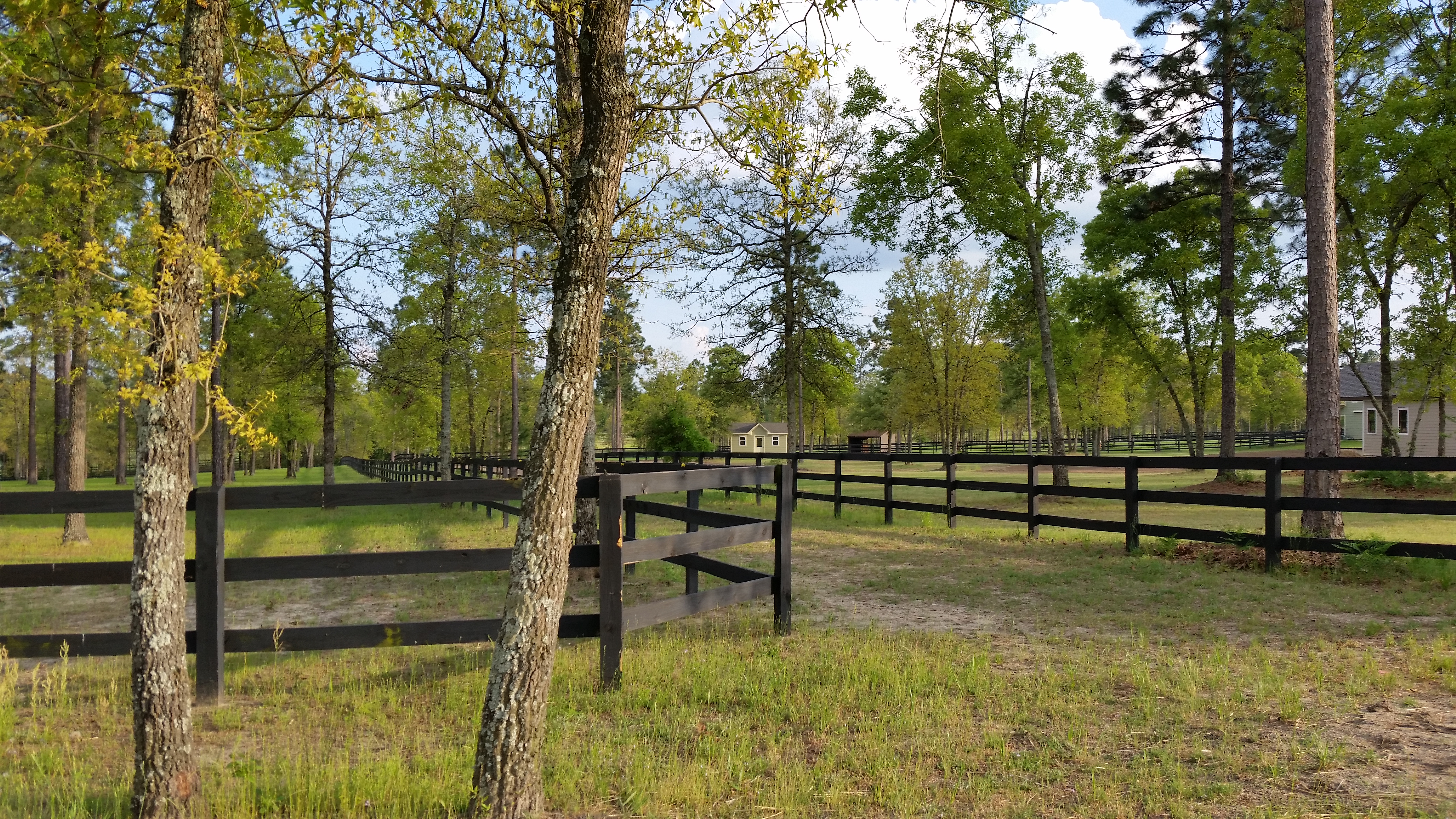
Fox Ridge Farm

The launch area can get hectic
Hopelands Gardens, Aiken, SC
Carolina countryside
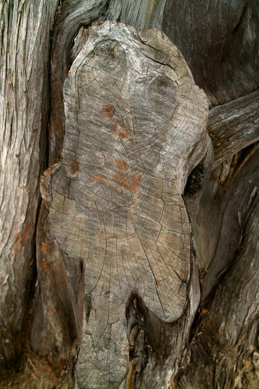
SDIM1058_2 Cedar Tree Sawcut Scar
Topographic Map of Southbank Dr, Aiken, SC, USA
Find elevation by address:

Places near Southbank Dr, Aiken, SC, USA:
202 Windmill Dr Apt. E
202 Windmill Dr Apt. E
Pebble Lane
554 Palm Dr
Kellogg Dr, Aiken, SC, USA
212 Heathwood Dr
1012 Kerr Dr Sw
129 Balsam Ln
23 Erskine Ln
7 Tupelo Ct
323 Grandiflora Cir
191 Aberdeen Dr Sw
440 S Boundary Ave Se
3270 Whiskey Rd
224 Kershaw St Ne
The Willcox Hotel
121 Us-78
1060 Winchester Ln
321 Willow Lake Ct
Aiken
Recent Searches:
- Elevation of Corso Fratelli Cairoli, 35, Macerata MC, Italy
- Elevation of Tallevast Rd, Sarasota, FL, USA
- Elevation of 4th St E, Sonoma, CA, USA
- Elevation of Black Hollow Rd, Pennsdale, PA, USA
- Elevation of Oakland Ave, Williamsport, PA, USA
- Elevation of Pedrógão Grande, Portugal
- Elevation of Klee Dr, Martinsburg, WV, USA
- Elevation of Via Roma, Pieranica CR, Italy
- Elevation of Tavkvetili Mountain, Georgia
- Elevation of Hartfords Bluff Cir, Mt Pleasant, SC, USA