Elevation of South Wolfe Road & East El Camino Real, S Wolfe Rd & E El Camino Real, Sunnyvale, CA, USA
Location: United States > California > Santa Clara County > Sunnyvale > Ponderosa Park >
Longitude: -122.01414
Latitude: 37.3532072
Elevation: 39m / 128feet
Barometric Pressure: 101KPa
Elevation Map:
Satellite Map:
Related Photos:

IMG_8090 Snowy Egret, Mountain View Shoreline Park, CA
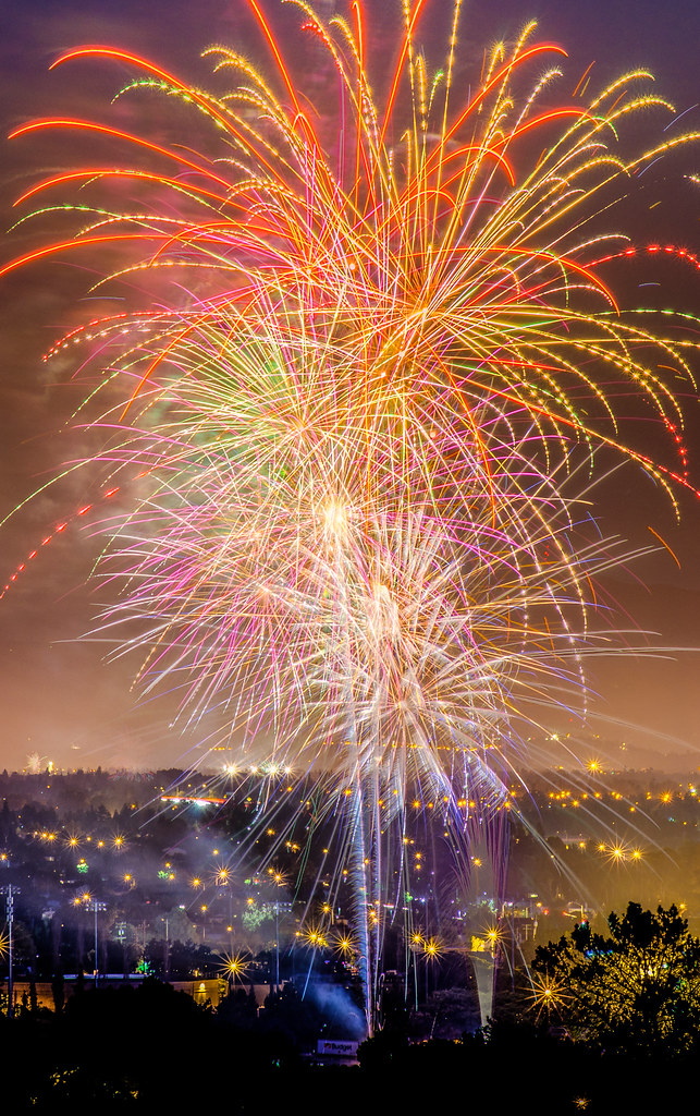
Explosions of Light
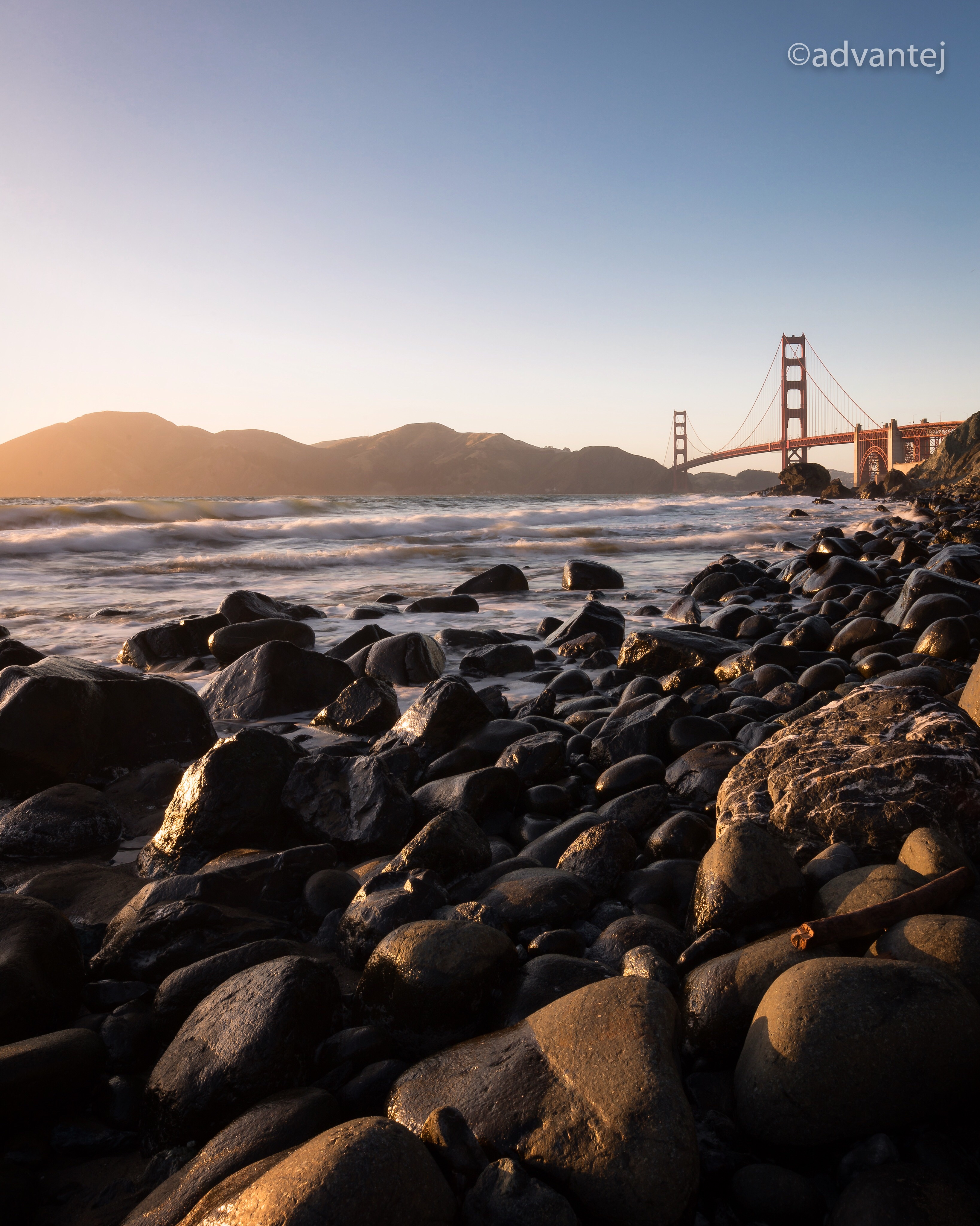
Perfect view?

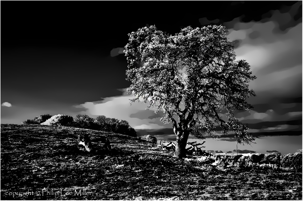
Gnarled Oak

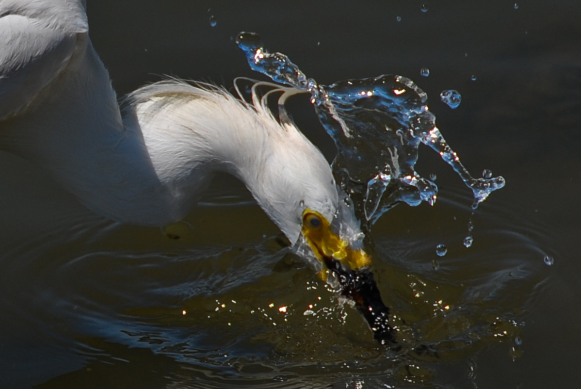
IMG_1380 Let Me Feed You, Honey.
If Trees Could Talk

bokeh angel

IMG_2314 Forster's Tern

IMG_5922 Forster's Tern Hovering, Mountain View Shoreline Park, California

IMG_3580 Black-Crowned Night Heron
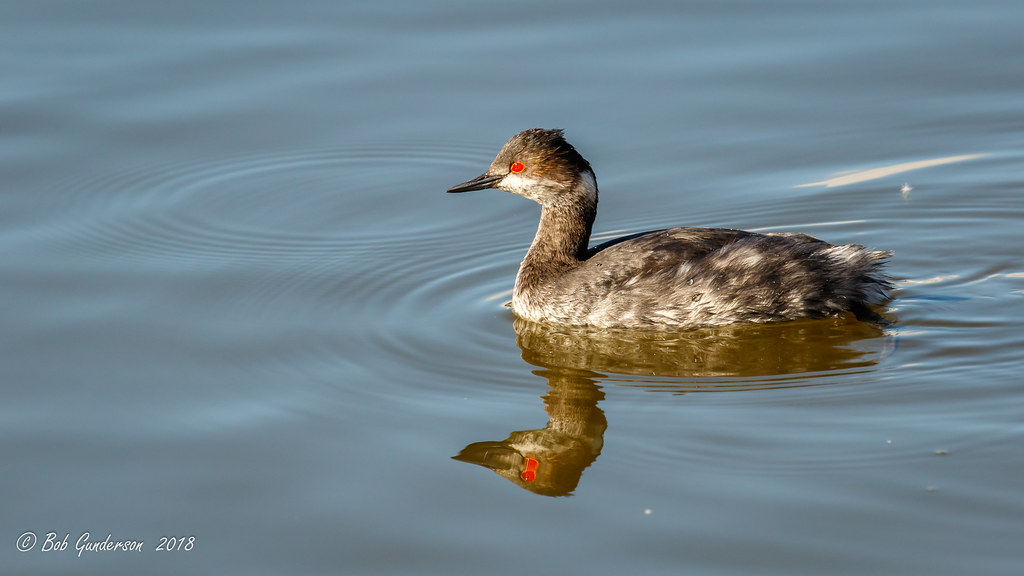
Eared Grebe with just a hint of the breeding plumage

Today's lunchtime view. The rain was great this morning & I love these clouds!

IMG_0173 Here I Come! Mountain View Shoreline Park, CA

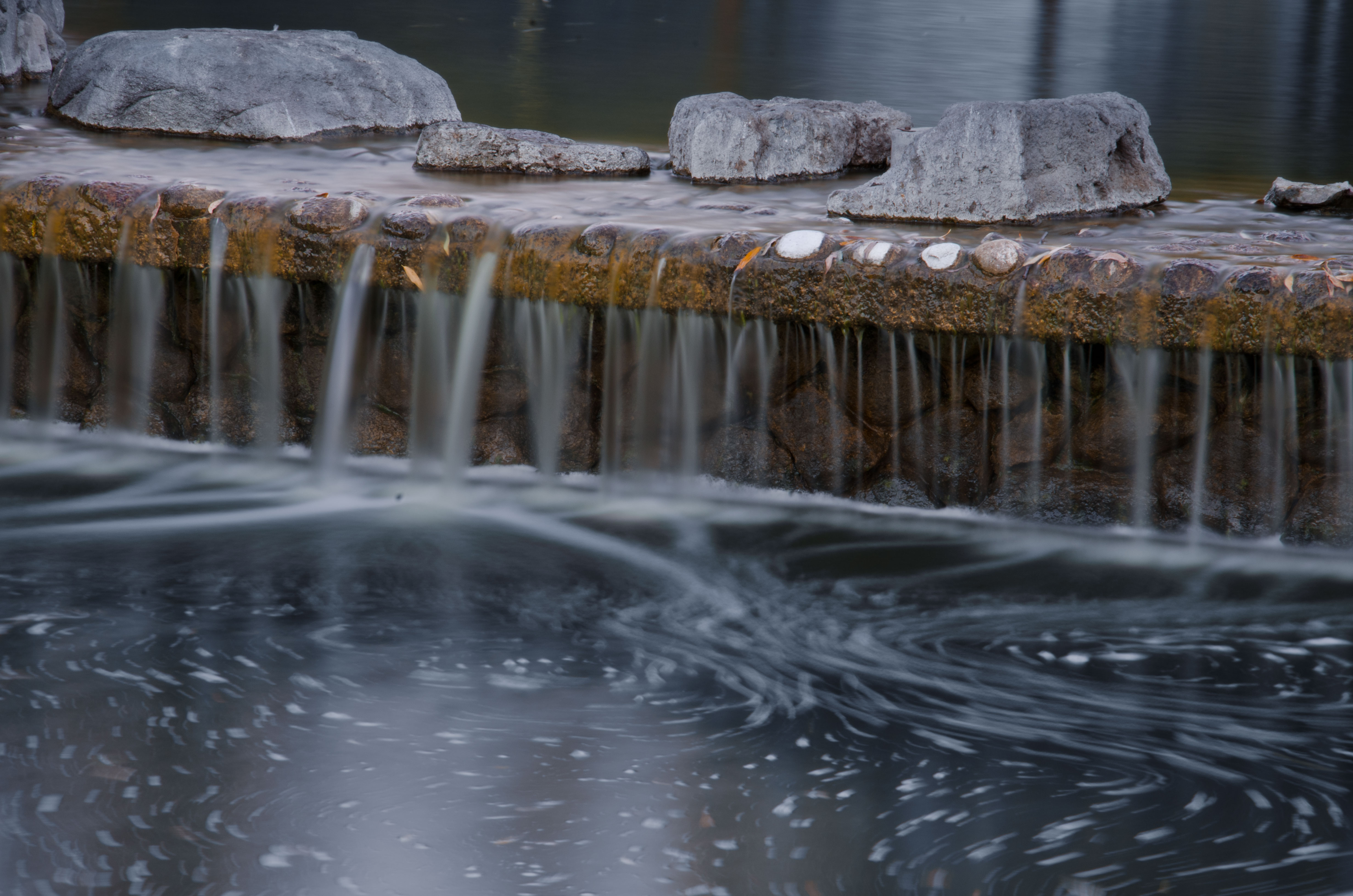
Cone Drips

Mary Avenue Bridge
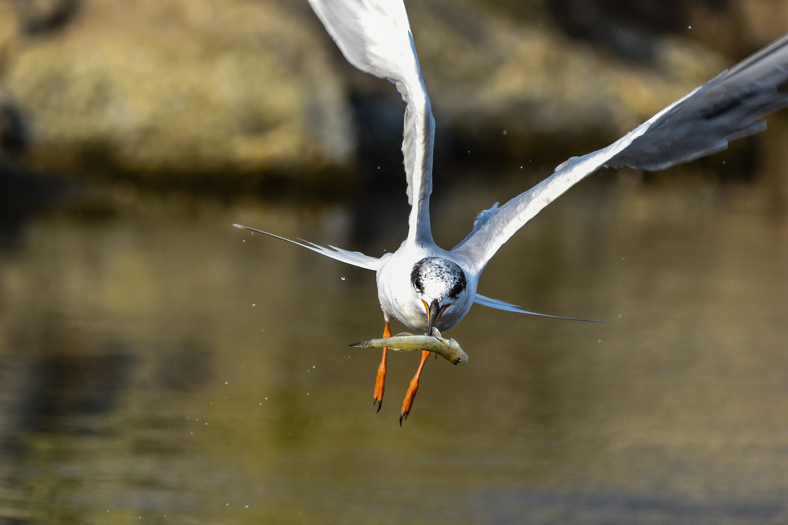
Fish On
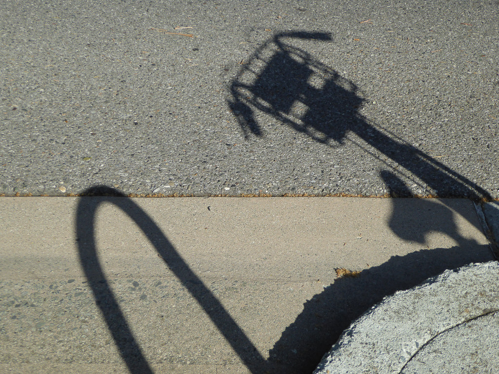
Shadow Bike

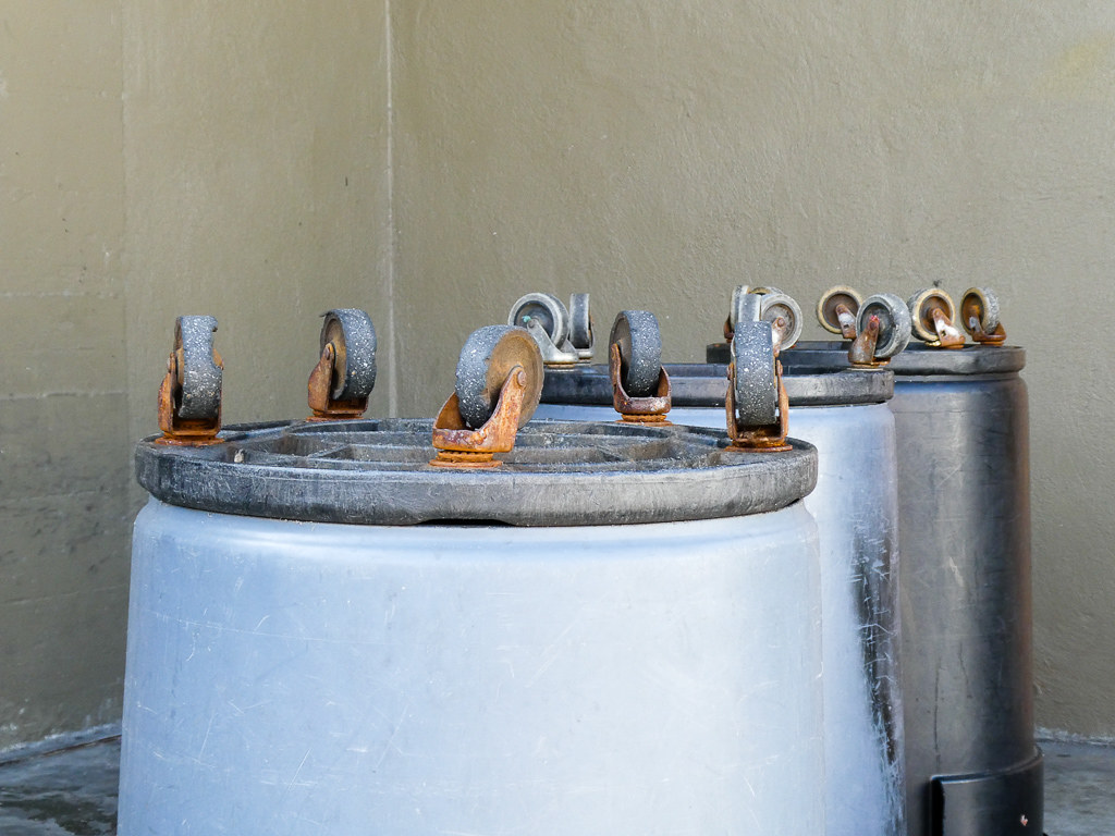
Break Chairs

Canada Goose honking
Wheels Up
Proficient dive bomber - Forster's Tern

Somewhere in heaven

And the wind cries Mary

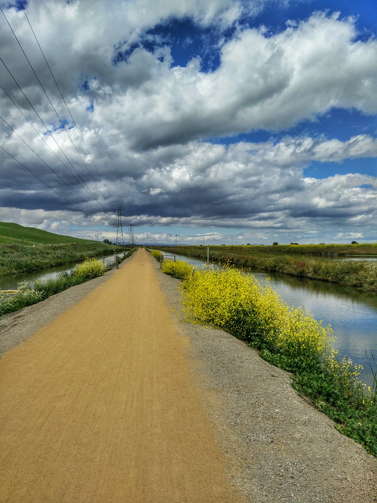
Fields of Gold

Door of opportunities :)
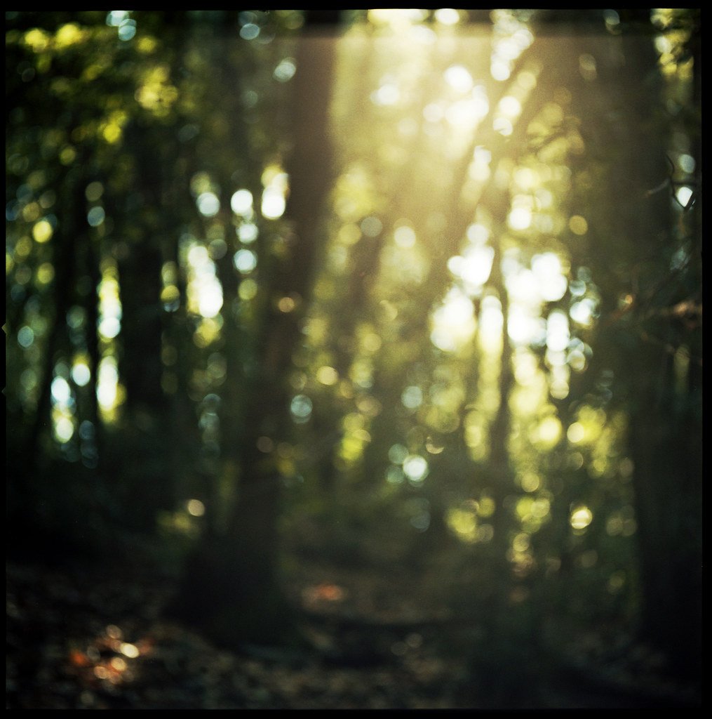
forest light

Arastradero Pasture

~~Garden of PEACE #2~~

Great Long, Slow Day on the LG Creek Trail. The #408 has the best weather in the Bay Area #TeamRunTheBay #RunLocal #GetOnnit #nikeplus

Trail to Heaven
Yesterday afternoon stroll.
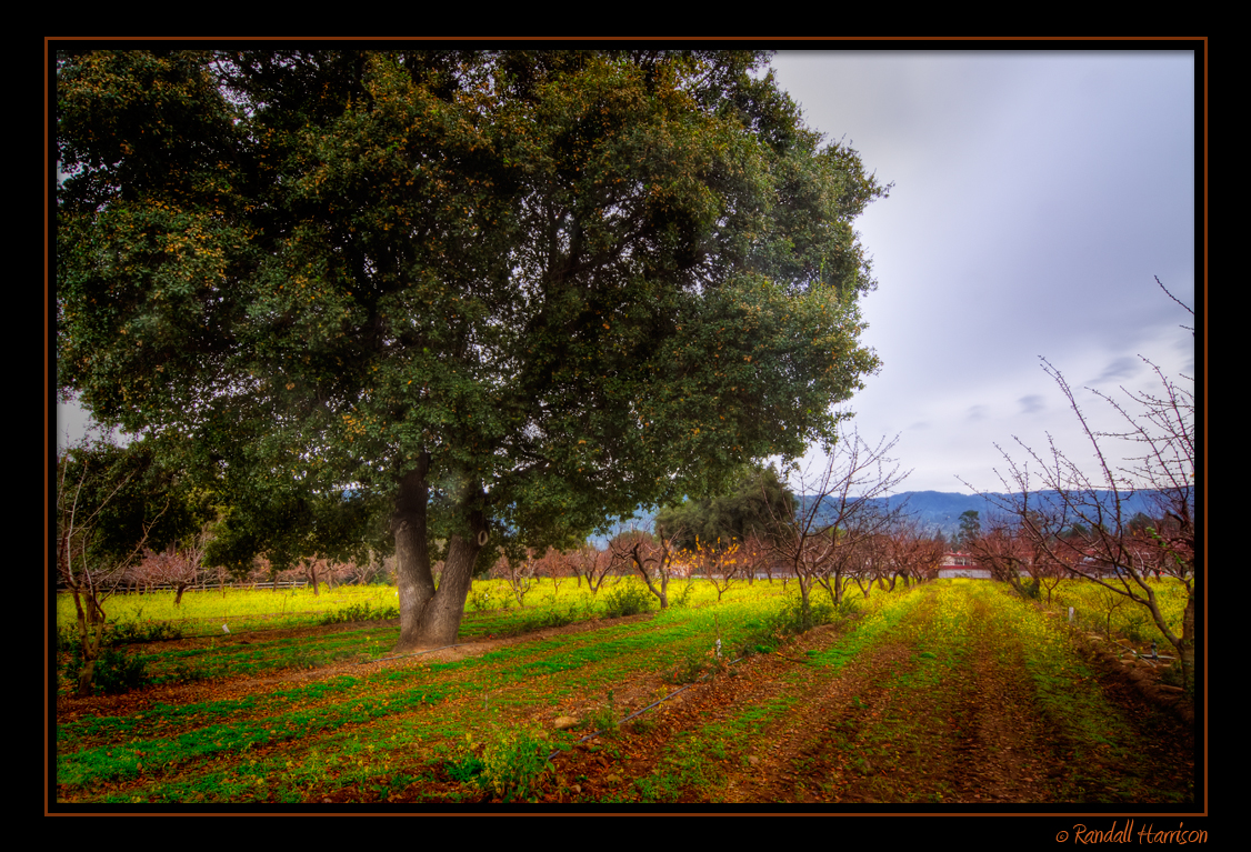
Heritage Orchard in Winter

Heritage Orchard_02

Alle Fotos-58

view from the Palo Alto hills down to the bay.

Clouds at sunset - Happy Sliders Sunday
Central Park

My Favorite Tree

April Skies | Palo Alto

Gentle Afterglow

Shade and reflections
Topographic Map of South Wolfe Road & East El Camino Real, S Wolfe Rd & E El Camino Real, Sunnyvale, CA, USA
Find elevation by address:

Places near South Wolfe Road & East El Camino Real, S Wolfe Rd & E El Camino Real, Sunnyvale, CA, USA:
880 E Fremont Ave
880 E Fremont Ave
1364 Navarro Dr
952 Marion Way
1492 Kingfisher Way
634 Carlisle Way
645 Coleraine Ct
615 Cheshire Way
1105 Lillick Dr
Birdland Neighbors
Shan Restaurant
576 Manet Terrace
745 E Homestead Rd
1080 Kildare Ave
3546 Stout Pl
10880 Northpoint Way
29900 Olivewood St
1652 Waxwing Ave
10600 N Tantau Ave
771 Lawrence Expy
Recent Searches:
- Elevation of Warwick, RI, USA
- Elevation of Fern Rd, Whitmore, CA, USA
- Elevation of 62 Abbey St, Marshfield, MA, USA
- Elevation of Fernwood, Bradenton, FL, USA
- Elevation of Felindre, Swansea SA5 7LU, UK
- Elevation of Leyte Industrial Development Estate, Isabel, Leyte, Philippines
- Elevation of W Granada St, Tampa, FL, USA
- Elevation of Pykes Down, Ivybridge PL21 0BY, UK
- Elevation of Jalan Senandin, Lutong, Miri, Sarawak, Malaysia
- Elevation of Bilohirs'k