Elevation of South Street, South St, Plymouth, OH, USA
Location: United States > Ohio > Huron County > New Haven Township > Plymouth >
Longitude: -82.665596
Latitude: 40.997648
Elevation: 308m / 1010feet
Barometric Pressure: 98KPa
Elevation Map:
Satellite Map:
Related Photos:
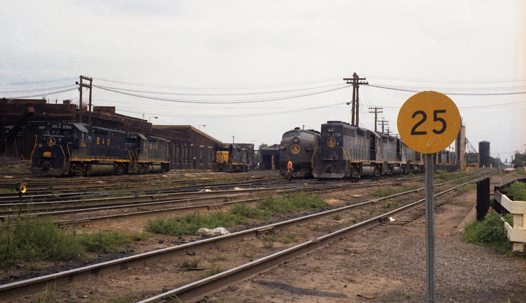
B&O Willard, Ohio Yard

A Front is Moving In

CSX Boxcar Logo

antique road grader 011
Memorable Memorial Day Weekend: 9

State Road 103

Double Rainbow

Ohio Snowfall

Green mile
Salad Shooter At Greenwich

Duffners together
Shelby/Mansfield KOA 6
Shelby/Mansfield KOA 16
Shelby-Mansfield KOA 31

Shelby/Mansfield KOA 3

Shelby-Mansfield KOA 33
Topographic Map of South Street, South St, Plymouth, OH, USA
Find elevation by address:

Places near South Street, South St, Plymouth, OH, USA:
44 Dix St
Plymouth
New Haven Township
US-, New Haven, OH, USA
New Haven
100 Crestwood Dr
Willard
816 Clark St
2633 Egypt Rd
801 Kennedy Dr
802 Kennedy Dr
OH-, Monroeville, OH, USA
Greenfield Township
Thomas Rd, Willard, OH, USA
Huron County
Norwich Township
Cranberry Township
W Mansfield St, New Washington, OH, USA
New Washington
402 Monroe St
Recent Searches:
- Elevation of Corso Fratelli Cairoli, 35, Macerata MC, Italy
- Elevation of Tallevast Rd, Sarasota, FL, USA
- Elevation of 4th St E, Sonoma, CA, USA
- Elevation of Black Hollow Rd, Pennsdale, PA, USA
- Elevation of Oakland Ave, Williamsport, PA, USA
- Elevation of Pedrógão Grande, Portugal
- Elevation of Klee Dr, Martinsburg, WV, USA
- Elevation of Via Roma, Pieranica CR, Italy
- Elevation of Tavkvetili Mountain, Georgia
- Elevation of Hartfords Bluff Cir, Mt Pleasant, SC, USA