Elevation of South Pass, Wyoming, USA
Location: United States > Wyoming > Sweetwater Station >
Longitude: -108.91344
Latitude: 42.3699551
Elevation: 2303m / 7556feet
Barometric Pressure: 77KPa
Elevation Map:
Satellite Map:
Related Photos:

Photo

South Pass Wyoming

South Pass City

South Pass Wyoming 1

Rural Wyoming

Oregon Trail near South Pass

South Pass City, WY

Oregon Trail near South Pass
Jonmikel Near South Pass

Clarissa Mine

South Pass Wyoming

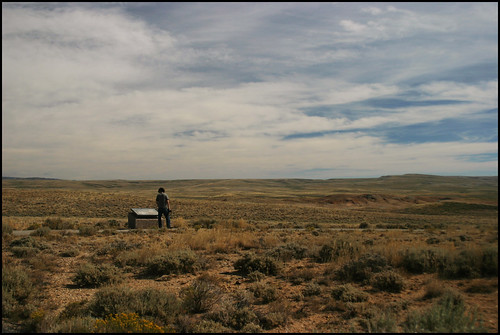
South Pass, Wyoming viewpoint. Oct 2006

Oregon Trail near South Pass

Wildflowers in Miner's Delight, WY

Campsite in the Rocks Along Pine Creek

Clouds Building

Let the crossings begin

_K5P7740.JPG

Rolling Hills in Wyoming

South Pass City WY Carissa Mine (#0015)

South Pass City WY Carissa Mine (#0012)

South Pass City WY (#0024)
Topographic Map of South Pass, Wyoming, USA
Find elevation by address:

Places near South Pass, Wyoming, USA:
22 S Pass Main St, South Pass City, WY, USA
South Pass City
15 N Granier Ave, Atlantic City, WY, USA
Louis Lake
White Acorn Ranch
Sinks Canyon Road
Boulder Loop
124 Boulder Loop
WY-, Lander, WY, USA
Lander
Main St, Lander, WY, USA
US-, Lander, WY, USA
WY-, Lander, WY, USA
US-, Lander, WY, USA
Boulder Flats
Boulder Flats
Boulder Flats
Boulder Flats
Boulder Flats
Boulder Flats
Recent Searches:
- Elevation of Corso Fratelli Cairoli, 35, Macerata MC, Italy
- Elevation of Tallevast Rd, Sarasota, FL, USA
- Elevation of 4th St E, Sonoma, CA, USA
- Elevation of Black Hollow Rd, Pennsdale, PA, USA
- Elevation of Oakland Ave, Williamsport, PA, USA
- Elevation of Pedrógão Grande, Portugal
- Elevation of Klee Dr, Martinsburg, WV, USA
- Elevation of Via Roma, Pieranica CR, Italy
- Elevation of Tavkvetili Mountain, Georgia
- Elevation of Hartfords Bluff Cir, Mt Pleasant, SC, USA