Elevation map of South Khorasan Province, Iran

Location: Iran >

Longitude: 59.1041758

Latitude: 32.5175643

Elevation: 1483m / 4865feet

Barometric Pressure: 85KPa

Elevation Map:

elevation map of South Khorasan Province, Iran

Satellite Map:

Satellite map of South Khorasan Province, Iran

Related Photos:

geo:lat=3241362667 geo:lon=5676713567 geotagged southkhorasanprovince iran aerial peaceonearthorg
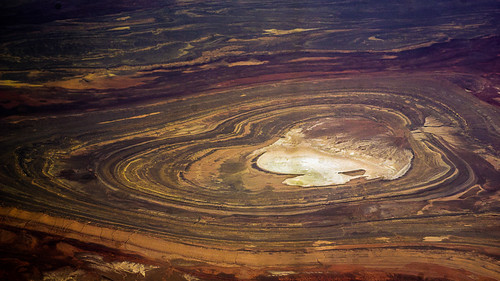
Aerial View of Iran
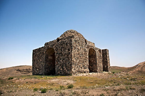
iran iranmap iranmapcom bazehkhurfiretemple gettyimagesmiddleeast
آتشكده (چهار تاقي) بازه خور (بازه هور) خراسان Bazeh Khur Fire Temple
parsisofmumbai
Parsis of Mumbai
streetphotography streetlife rumi ramzan carterroadbandra aboutrumi
“The wound is the place where the Light enters you.” ― Rumi
Alamut Castle 602 - 1256 fl
DOC35/4786 - The gardens of Isfahan
iran mosque tabas haramemamzadehosein
Tabas, Haram Emamzade Hosein, Iran
khorasan anthropic birjand black blue brown cloud color colour desert iran landscape nature nikkor50mm nikon outside panorama photo rock rocks sky sunlight travel white yellow southkhorasanprovince
somewhere in the desert, Khorasan, Iran
nature day natural clear agriculture ruralpakistan deraismailkhan dikhan agricultureinpakistan earthasia landscapesinpakistan deraismailkhandistrict khyberpakhtunkhwa naturalheritageofpakistan indusplains fieldsinpakistan deraismailkhaninwinter deraismailkhaninfebruary indusbasin landscapesinderaismailkhan landscapesinkhyberpakhtunkhwa agricultureinderaismailkhan agricultureinkhyberpakhtunkhwa ruralscenesinpakistan ruralscenesinderaismailkhan ruralscenesinkhyberpakhtunkhwa
Landscapes in Dera Ismail Khan, Khyber Pakhtunkhwa, Pakistan - February 2011
castle iran ایران gilan رود گیلان قلعه خان qalehrudkhan
La Humidité et les Pierres
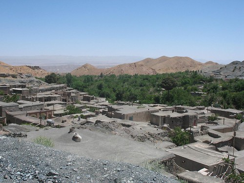
architecture village iran birjand khorashad
Traditional architecture of the Khorashad village