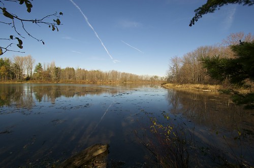
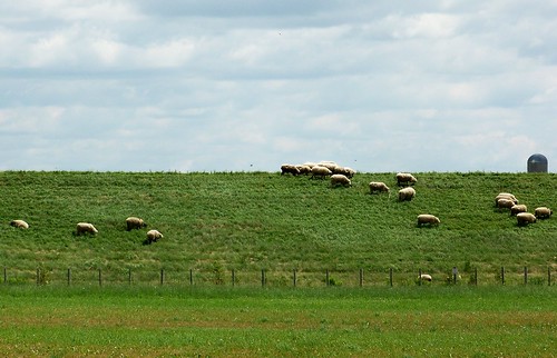
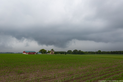
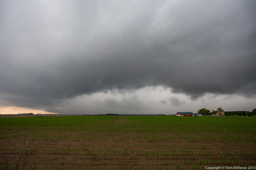
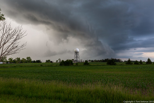
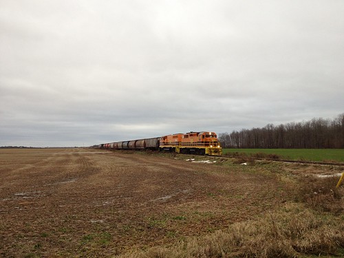
Elevation of South Huron, ON, Canada
Location: Canada > Ontario > Huron County >
Longitude: -81.499060
Latitude: 43.3162497
Elevation: 255m / 837feet
Barometric Pressure: 98KPa
Related Photos:
Topographic Map of South Huron, ON, Canada
Find elevation by address:

Places in South Huron, ON, Canada:
Places near South Huron, ON, Canada:
Exeter
36 Richmond St, Centralia, ON N0M 1K0, Canada
261 Darling Blvd
261 Darling Blvd
5988 Mcgillivray Dr
34933 Cassidy Rd
Hern Line, Exeter, ON N0M 1S5, Canada
Clandeboye
Kippen Post Office
Kippen
Frank Street
Lucan
Lucan Biddulph
Ailsa Craig
116 George St
116 George St
James St, Ailsa Craig, ON N0M 1A0, Canada
Airport Dr, Lucan, ON N0M 2J0, Canada
Carlisle
Denfield
Recent Searches:
- Elevation of Corso Fratelli Cairoli, 35, Macerata MC, Italy
- Elevation of Tallevast Rd, Sarasota, FL, USA
- Elevation of 4th St E, Sonoma, CA, USA
- Elevation of Black Hollow Rd, Pennsdale, PA, USA
- Elevation of Oakland Ave, Williamsport, PA, USA
- Elevation of Pedrógão Grande, Portugal
- Elevation of Klee Dr, Martinsburg, WV, USA
- Elevation of Via Roma, Pieranica CR, Italy
- Elevation of Tavkvetili Mountain, Georgia
- Elevation of Hartfords Bluff Cir, Mt Pleasant, SC, USA


