Elevation map of South Georgia and the South Sandwich Islands
Longitude: -36.587909
Latitude: -54.429579
Elevation: 2190m / 7185feet
Barometric Pressure: 78KPa
Elevation Map:
Satellite Map:
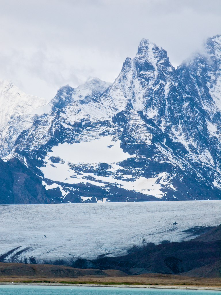
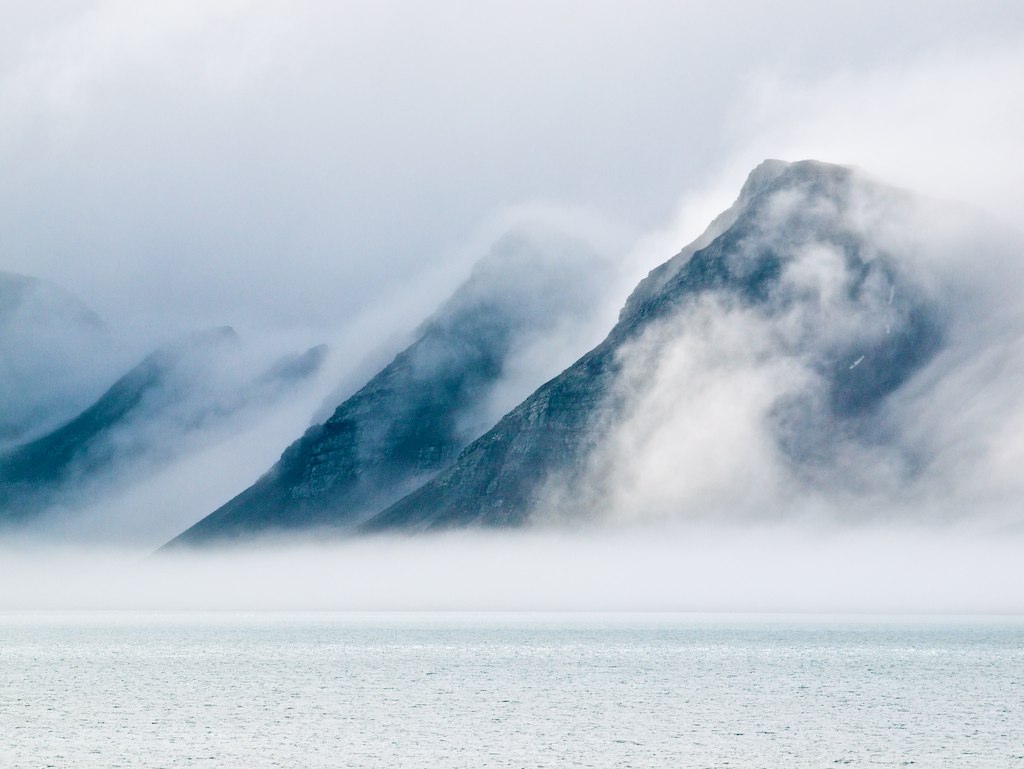
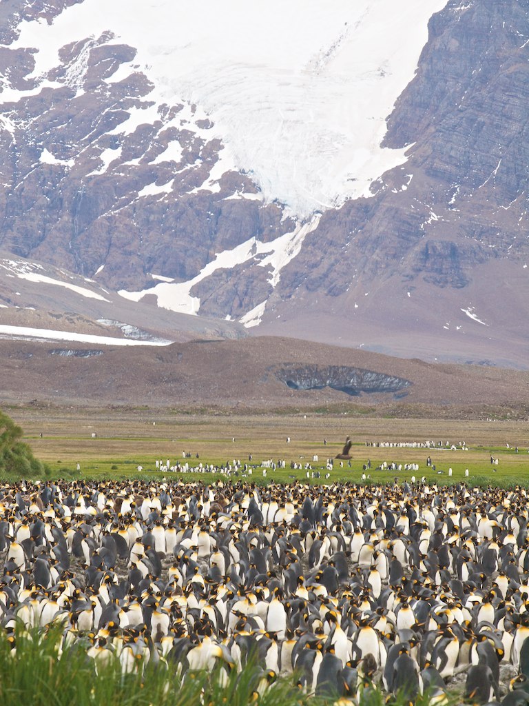
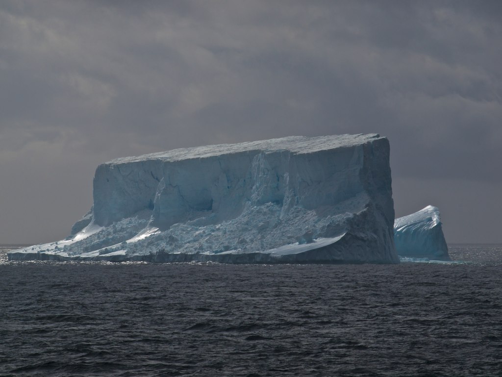
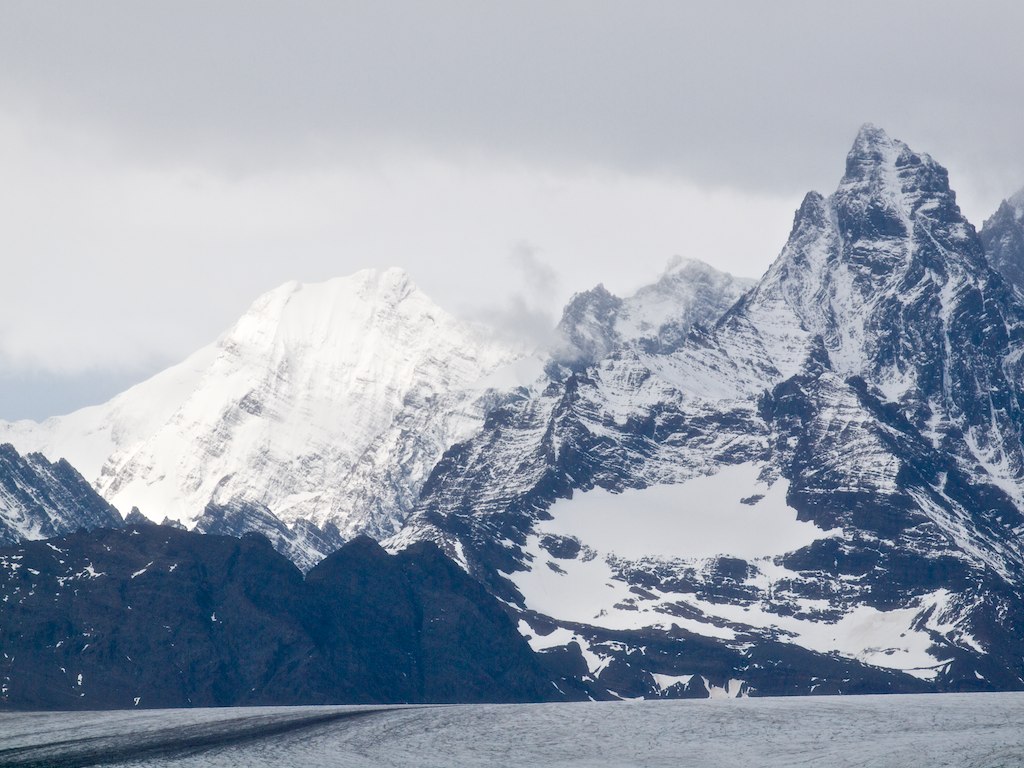
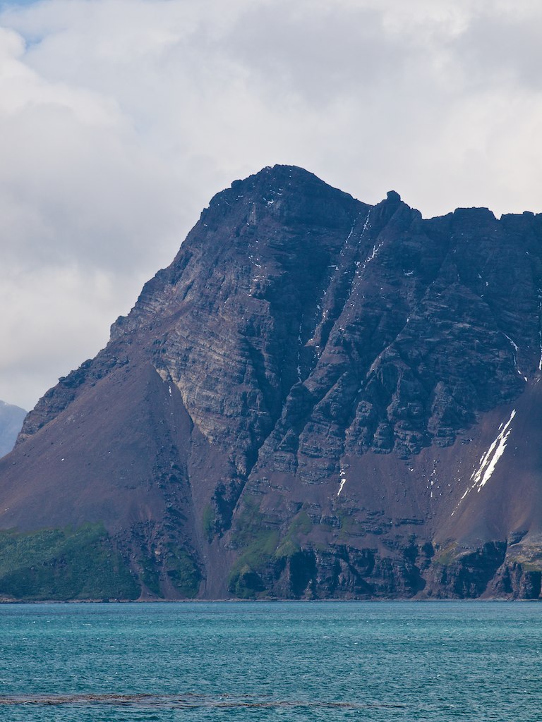
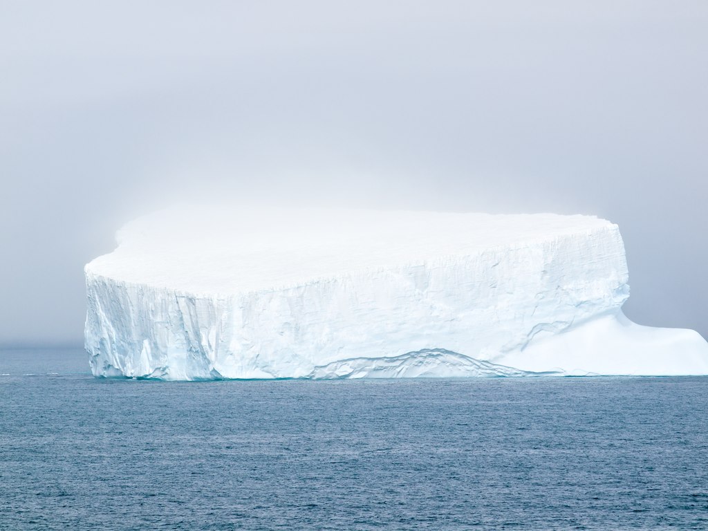
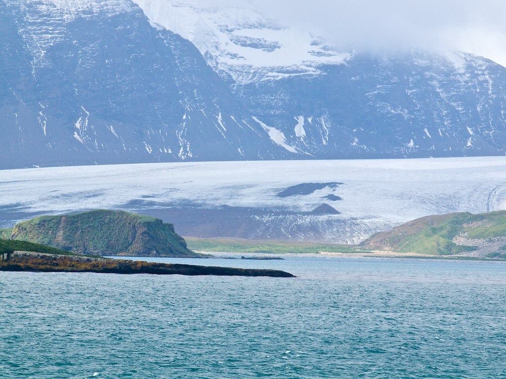
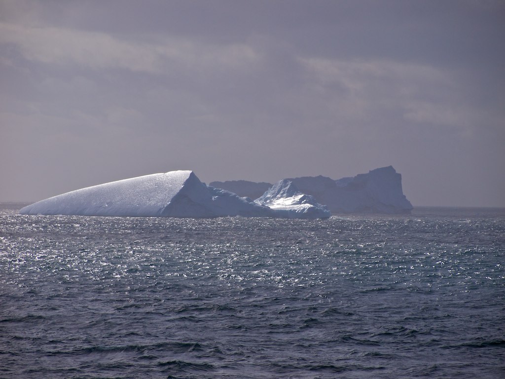
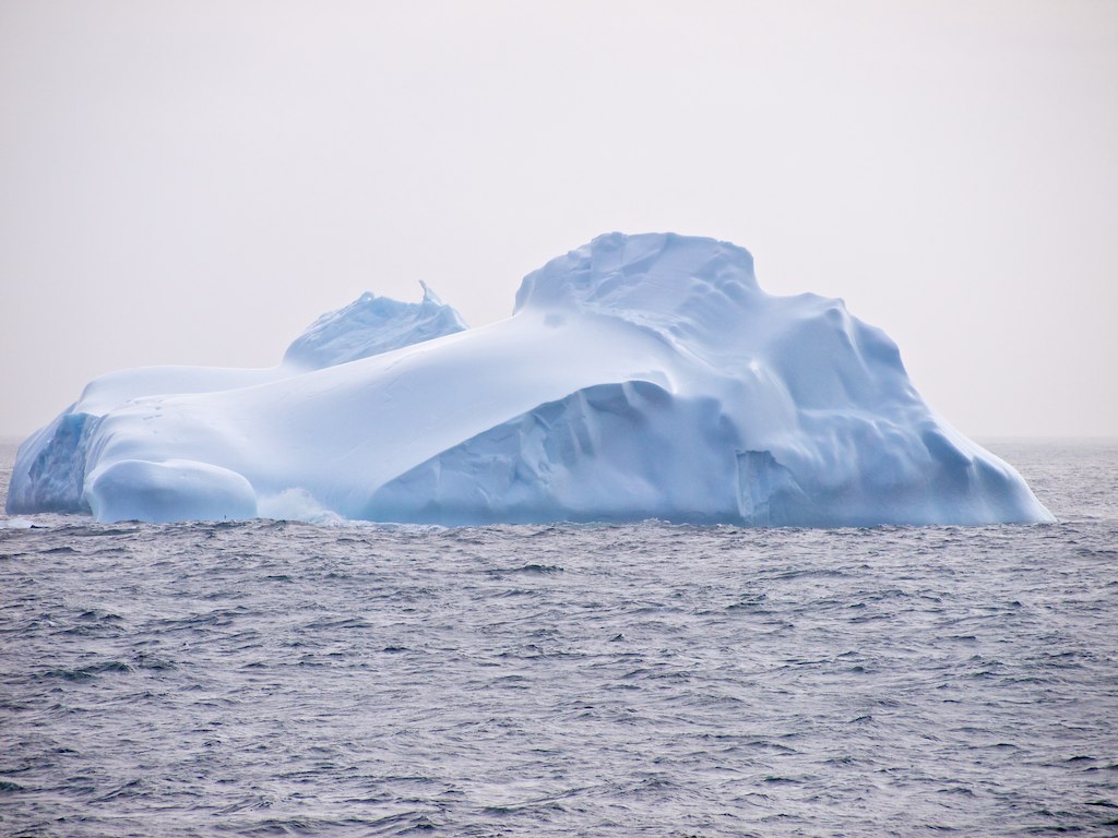
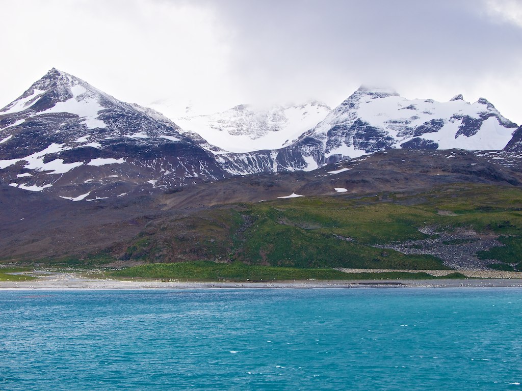
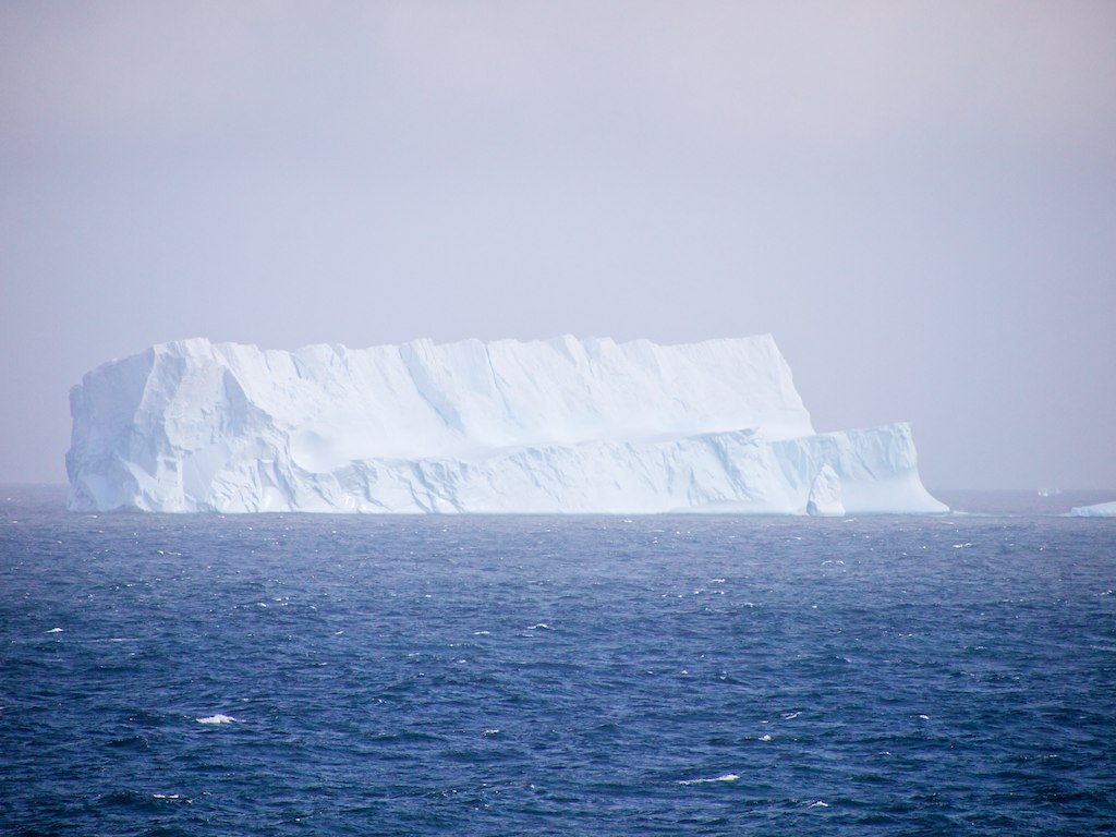
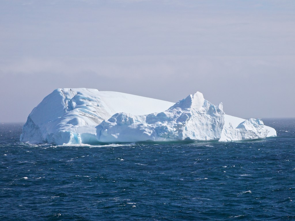
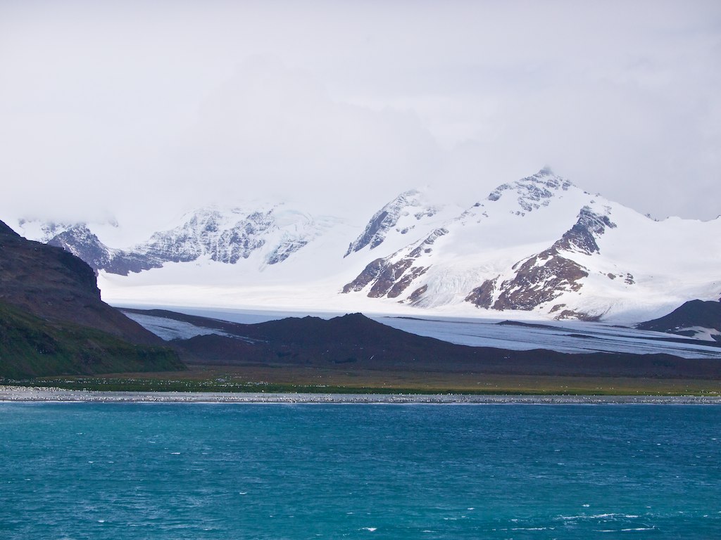
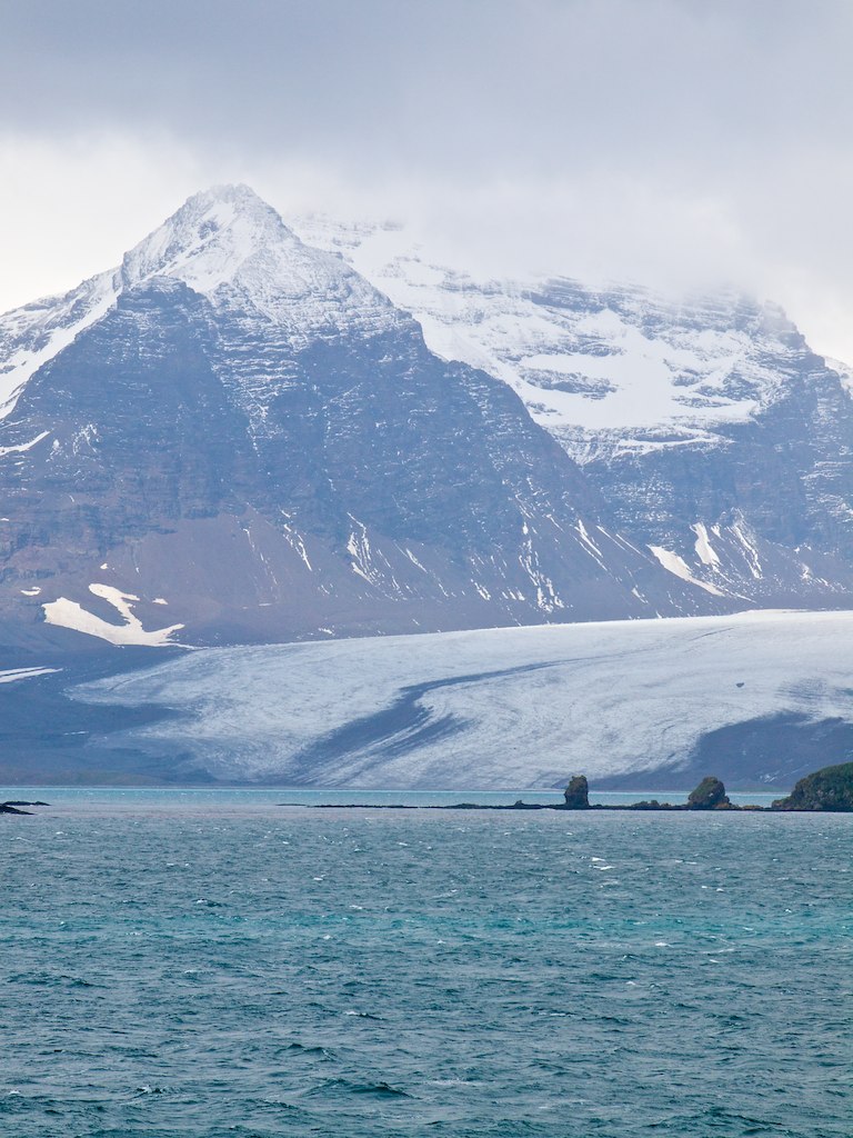
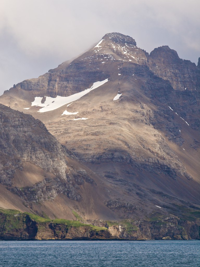
Related Photos:

P2180898 - Version 2
P2191219 - Version 2
P2191434 - Version 2
P2181031 - Version 2
P2180884 - Version 2

P2191429 - Version 2
P2191254 - Version 2
P2180983 - Version 2

P2180976 - Version 2
P2191400 - Version 2
P2180965 - Version 2
OL181295 - Version 2

OL181333 - Version 2
OL181282 - Version 2

P2180938 - Version 2
OL181326 - Version 2
OL181292 - Version 2
OL181305 - Version 2
OL181324 - Version 2
P2180951 - Version 2
P2181152 - Version 2
Topographic Map of South Georgia and the South Sandwich Islands
Find elevation by address:

Places in South Georgia and the South Sandwich Islands:
Places near South Georgia and the South Sandwich Islands:
Recent Searches:
- Elevation of Corso Fratelli Cairoli, 35, Macerata MC, Italy
- Elevation of Tallevast Rd, Sarasota, FL, USA
- Elevation of 4th St E, Sonoma, CA, USA
- Elevation of Black Hollow Rd, Pennsdale, PA, USA
- Elevation of Oakland Ave, Williamsport, PA, USA
- Elevation of Pedrógão Grande, Portugal
- Elevation of Klee Dr, Martinsburg, WV, USA
- Elevation of Via Roma, Pieranica CR, Italy
- Elevation of Tavkvetili Mountain, Georgia
- Elevation of Hartfords Bluff Cir, Mt Pleasant, SC, USA