Elevation of South Drive Ranch Lane, S Dr Ranch Ln, Arizona, USA
Location: United States > Arizona > Yavapai County > Cornville >
Longitude: -111.94709
Latitude: 34.6898564
Elevation: 1004m / 3294feet
Barometric Pressure: 90KPa
Elevation Map:
Satellite Map:
Related Photos:
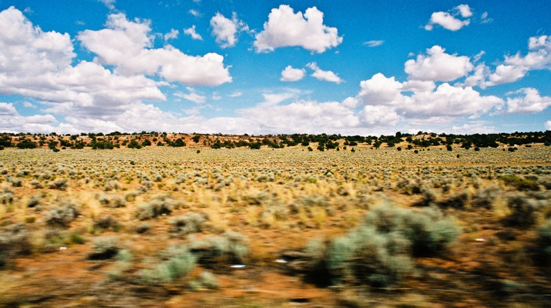
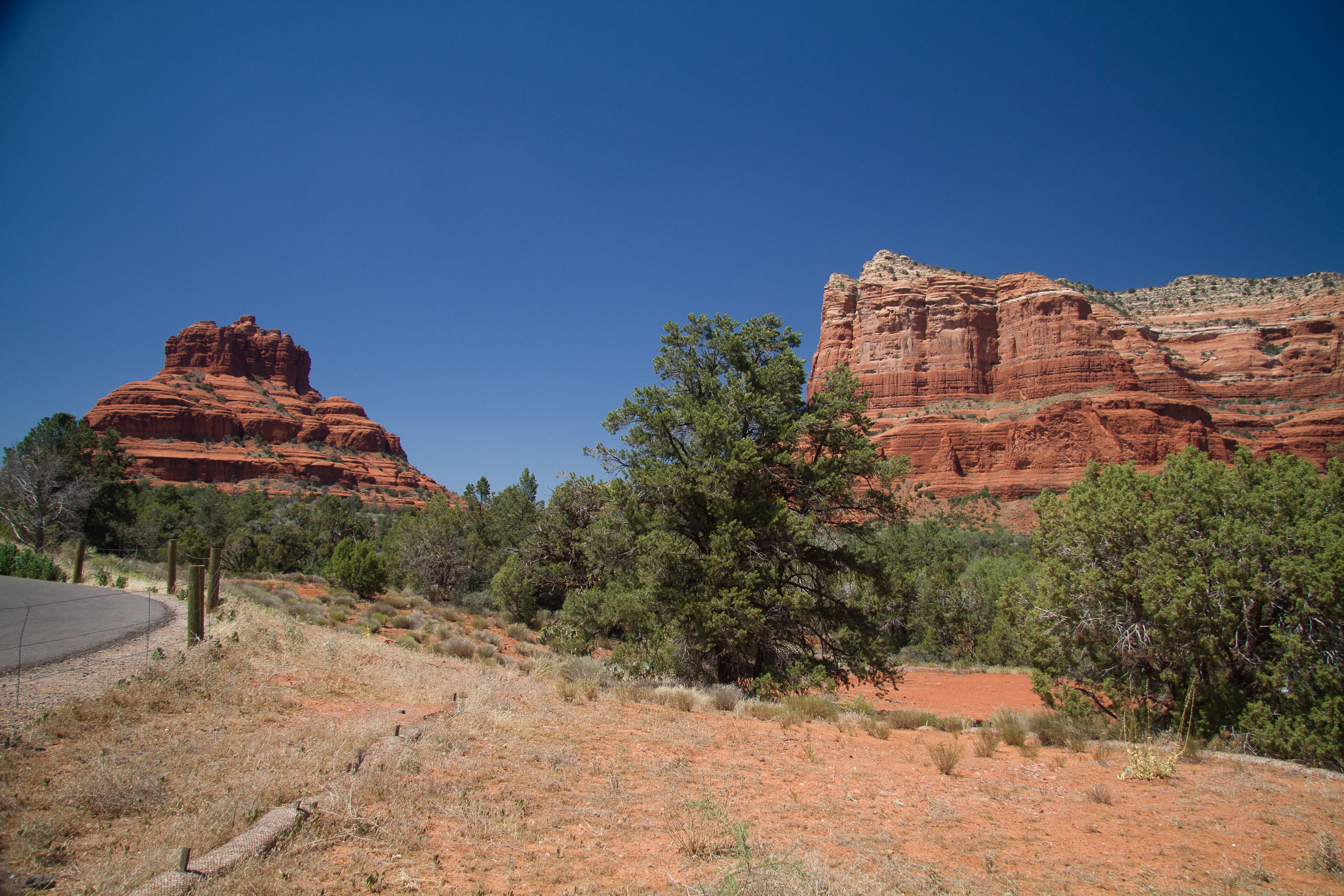
Drive by

Out of Gas
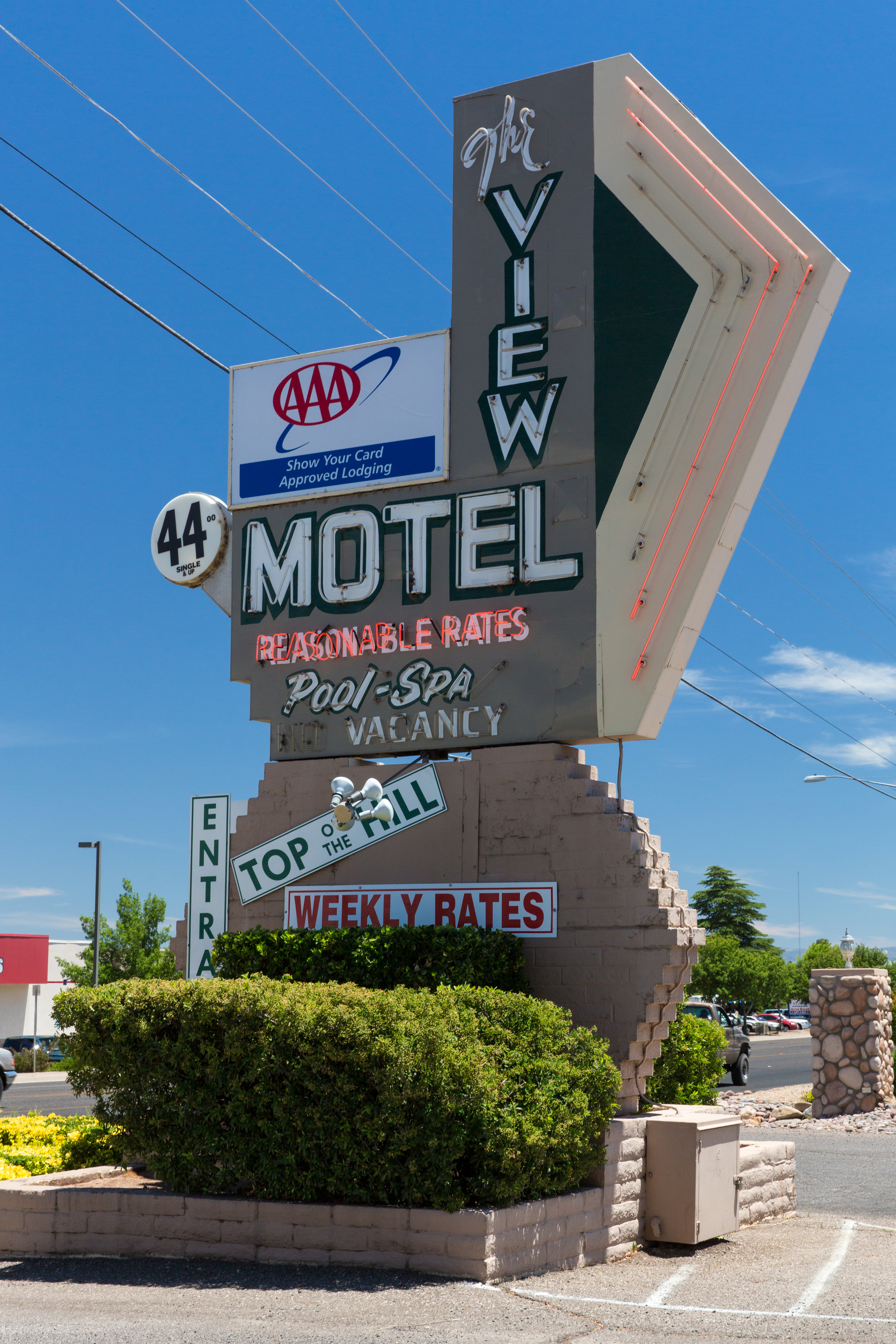
The View!

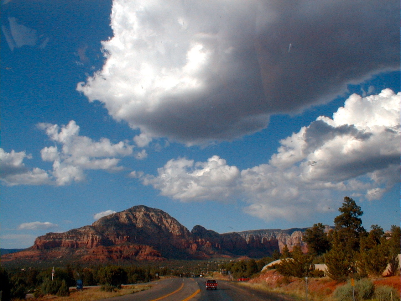
Sedona Area in My Rear View, S.R. 89A Between Sedona and Cottonwood, Arizona
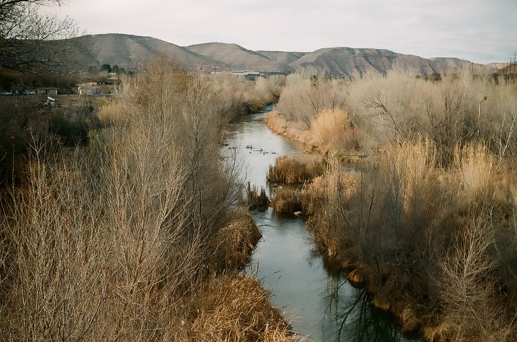
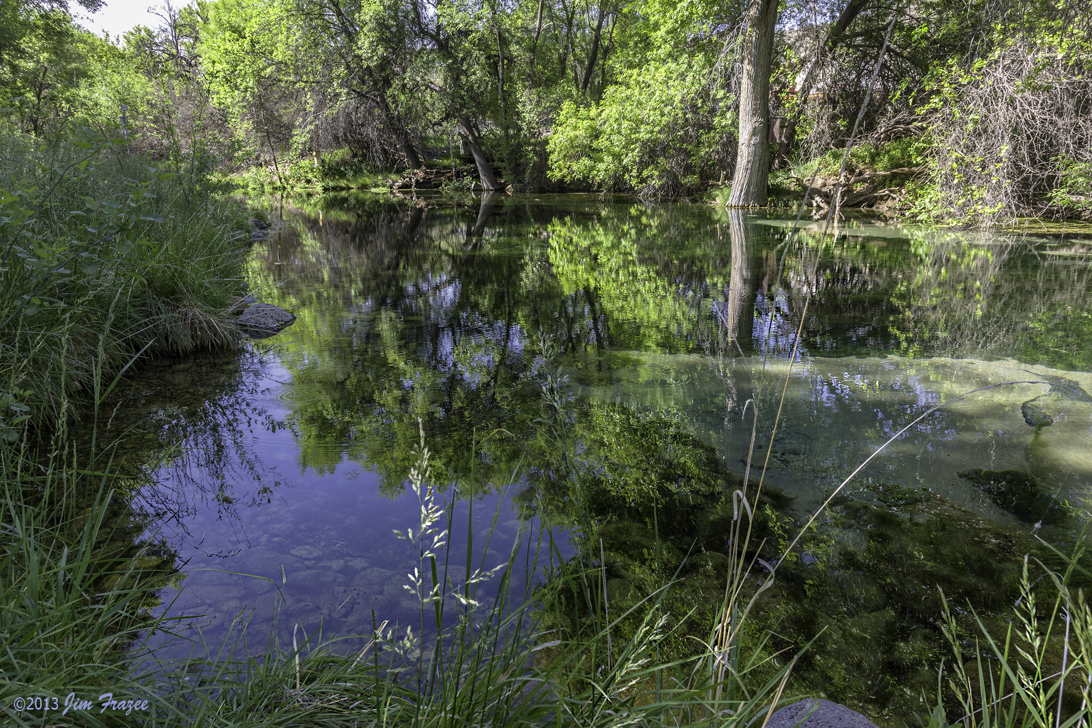
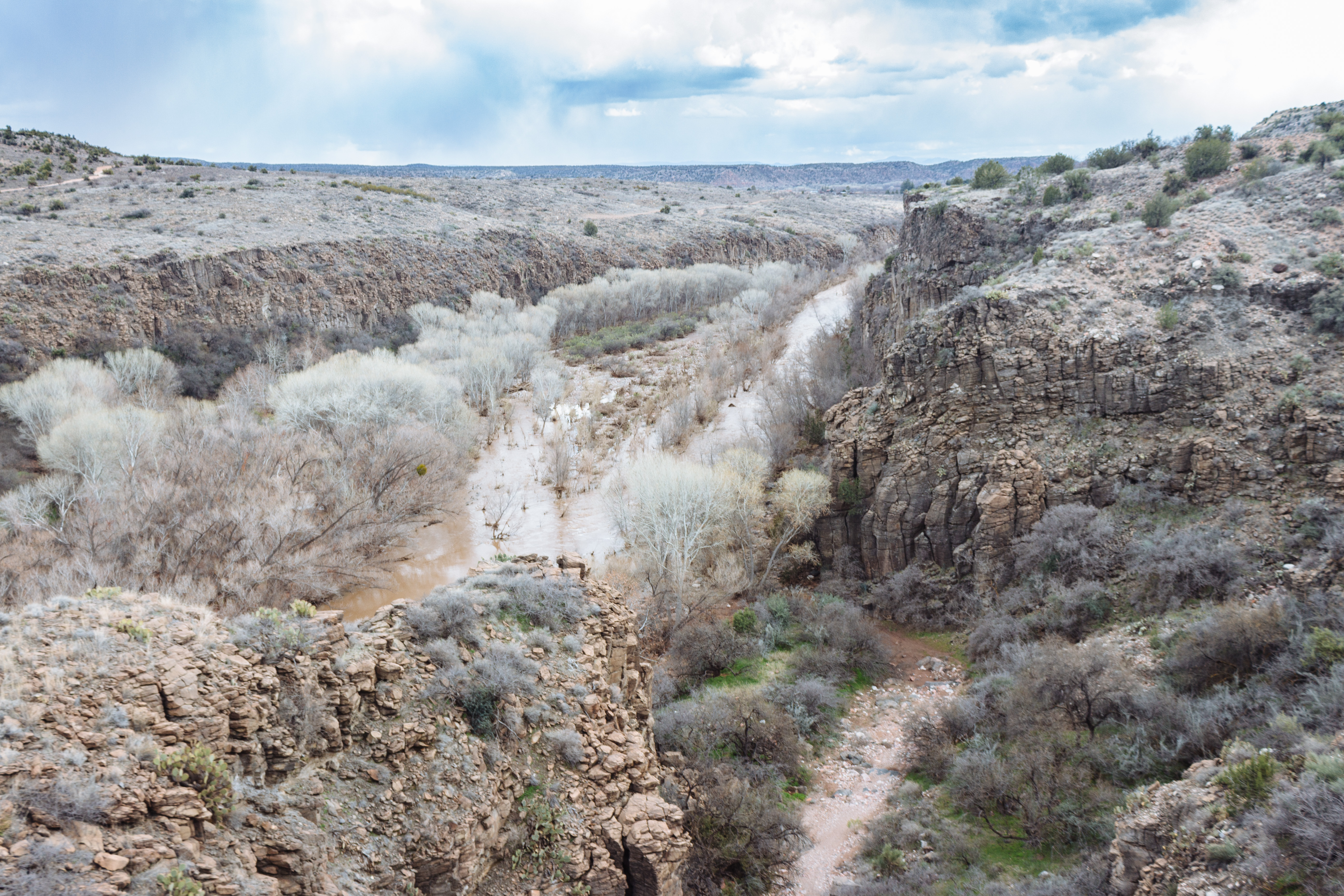
verde river- sunday, january 17th 2010

Vintage Arizona: Former 1929 Jail House, Wild Rose of Historic Old Town Tea House, Cottonwood, AZ
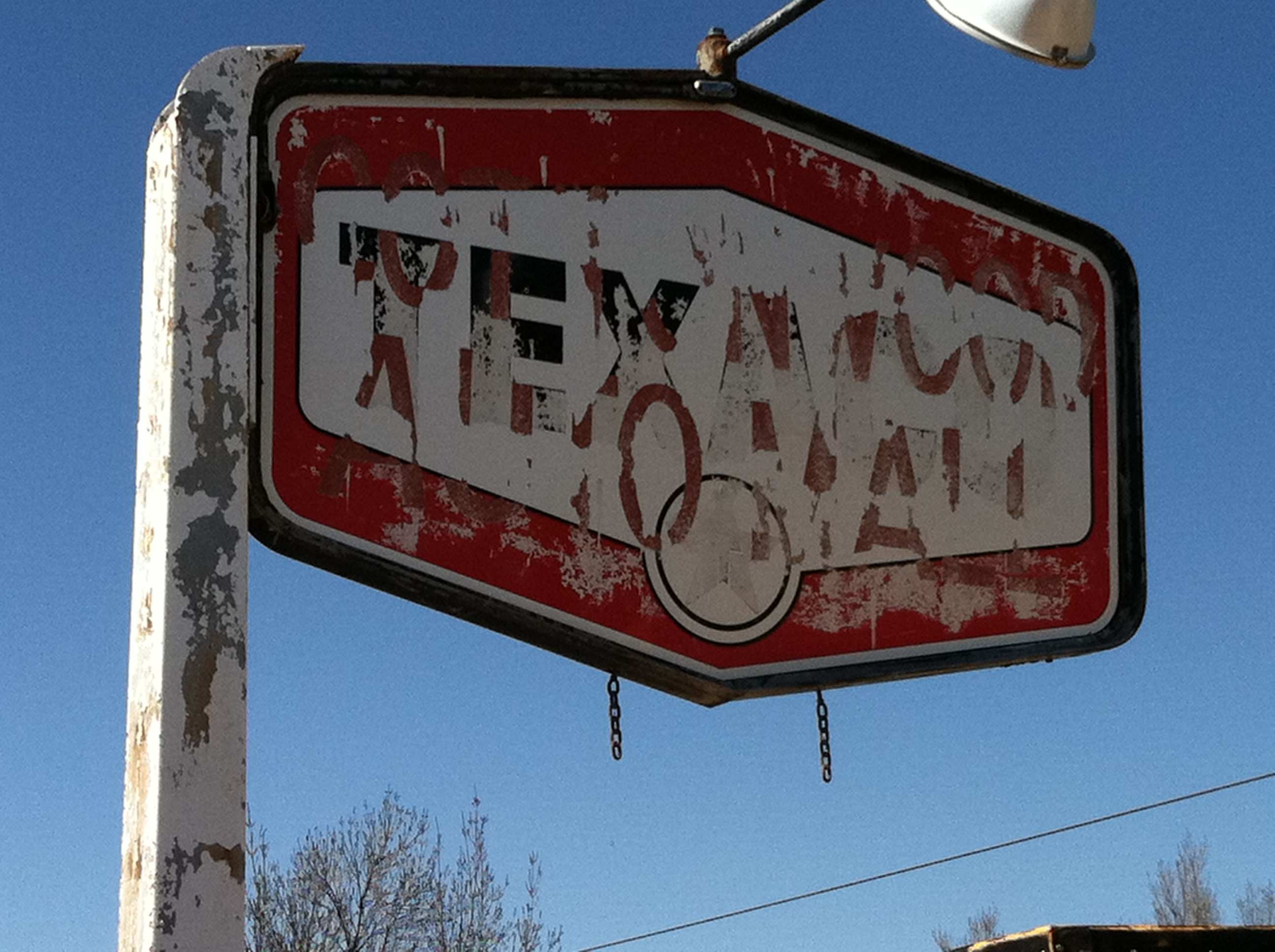
Cottonwood - Texaco

Clarkdale - Good Food

Patio & Rose Garden @ Historic Wild Rose Tea House, Cottonwood, AZ
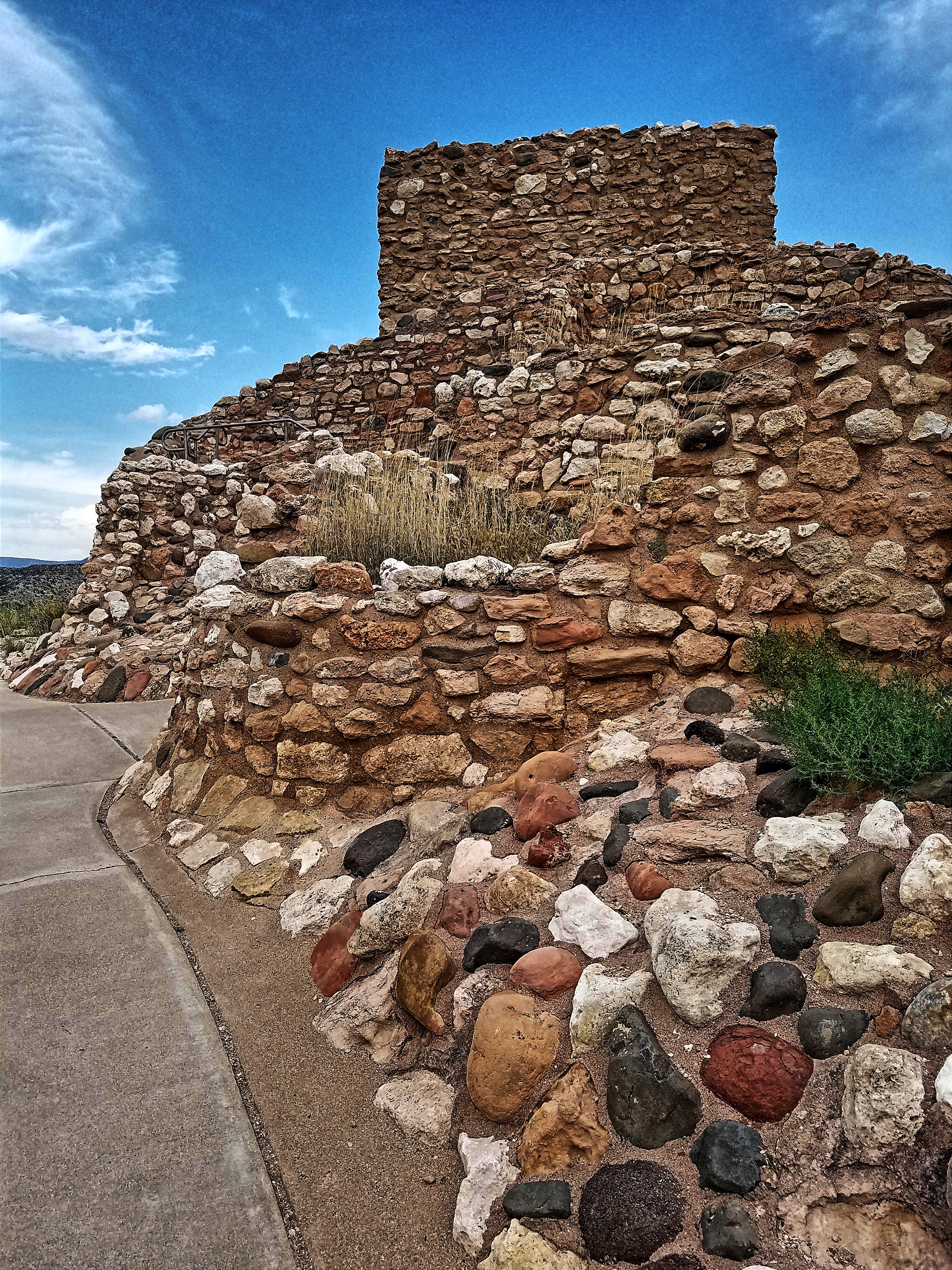
Tuzigoot Ruin- Yavapai County AZ (14)
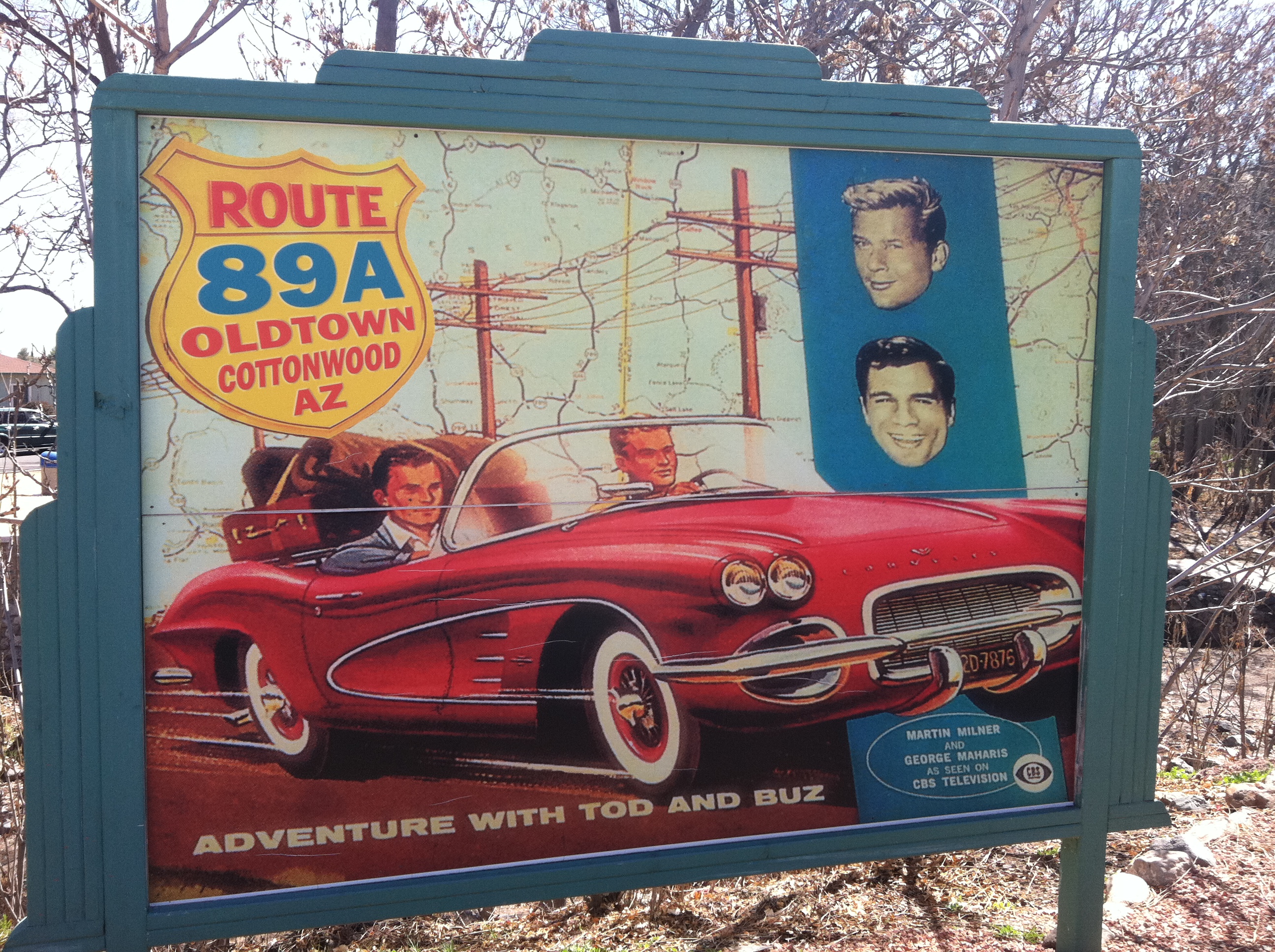
Cottonwood - Billboard

Welcome Old Town Sign, Close-up, View to North: Restored Vintage Neon Sign, Former Liquor Store, Cottonwood, AZ
Home With A View
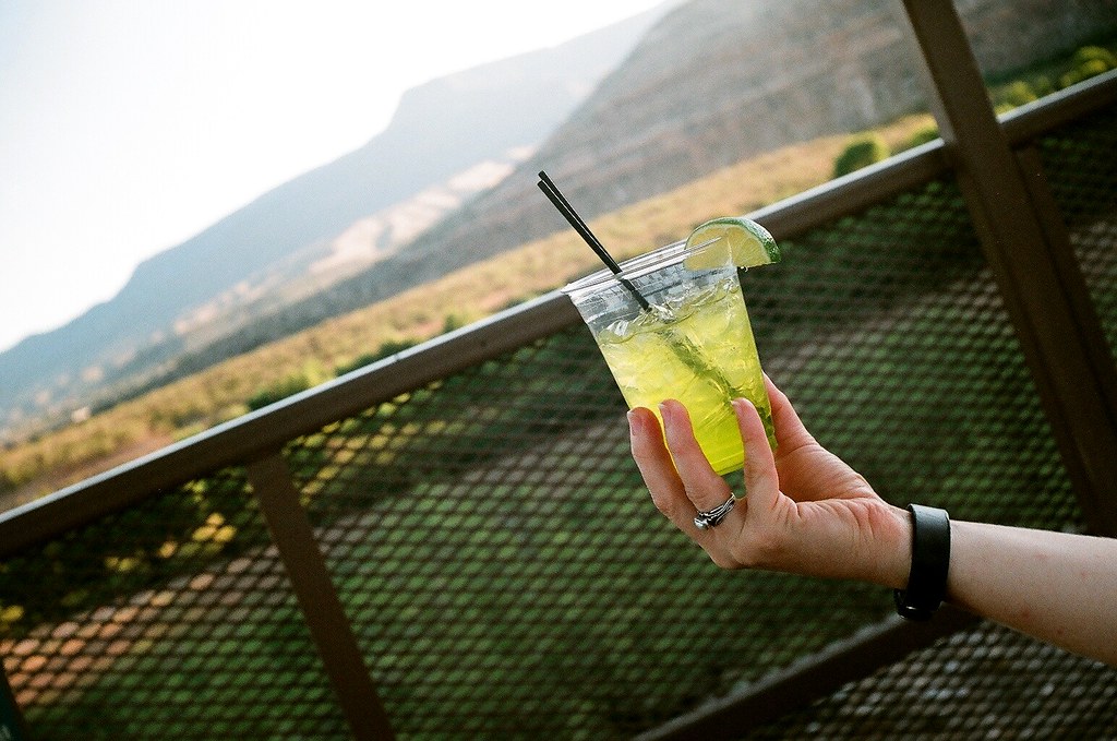
melon margarita
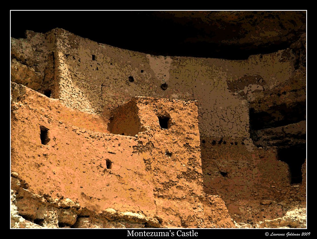
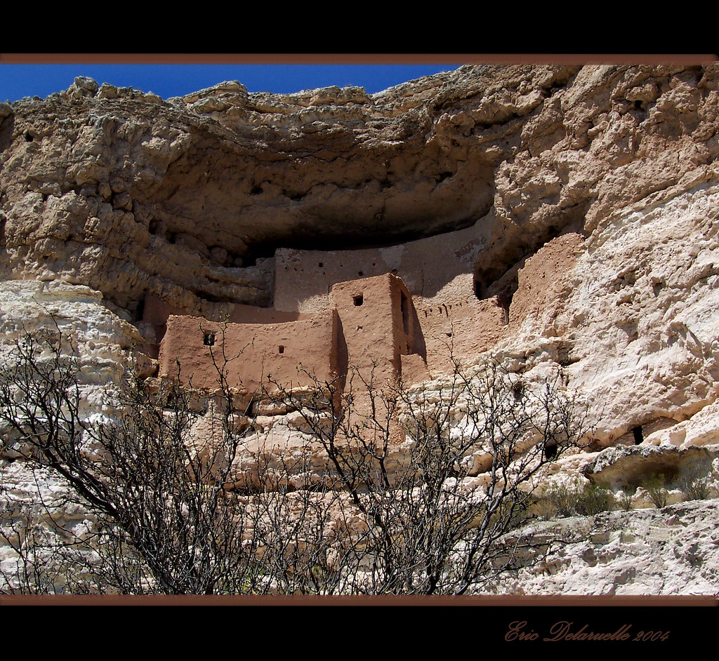
Close Up Montezuma's Castle
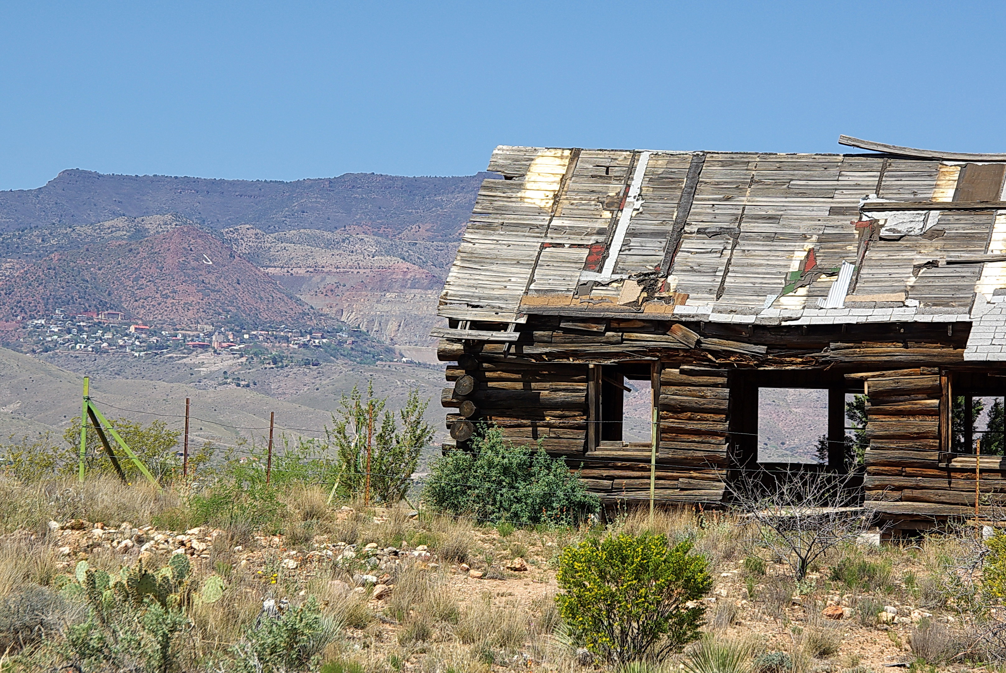
Old log cabin with view of Jerome - Dead Horse Ranch State Park

Flight- The view from the basket below our hot air balloon ride today.
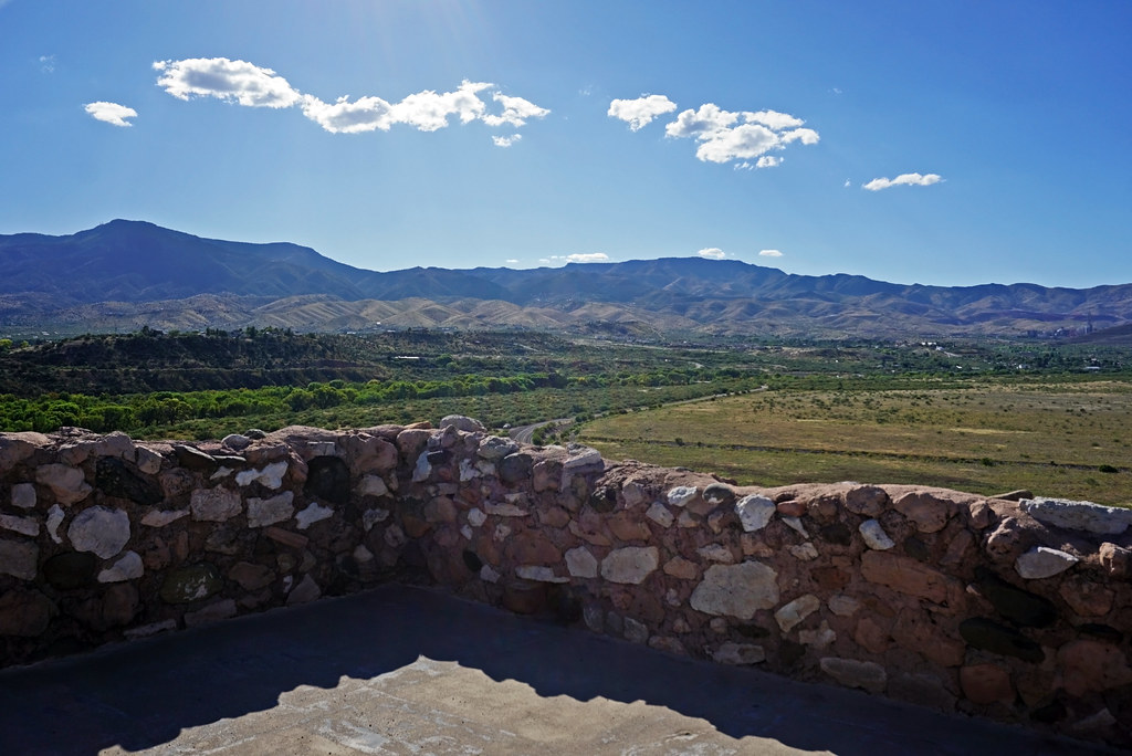
View from Tuzigoot National Monument, AZ

Vermilion Flycatcher
the view
Sunset Point, Arizona
Montezuma Castle and Tuzigoot - 2000 - Patrick Nouhailler ©
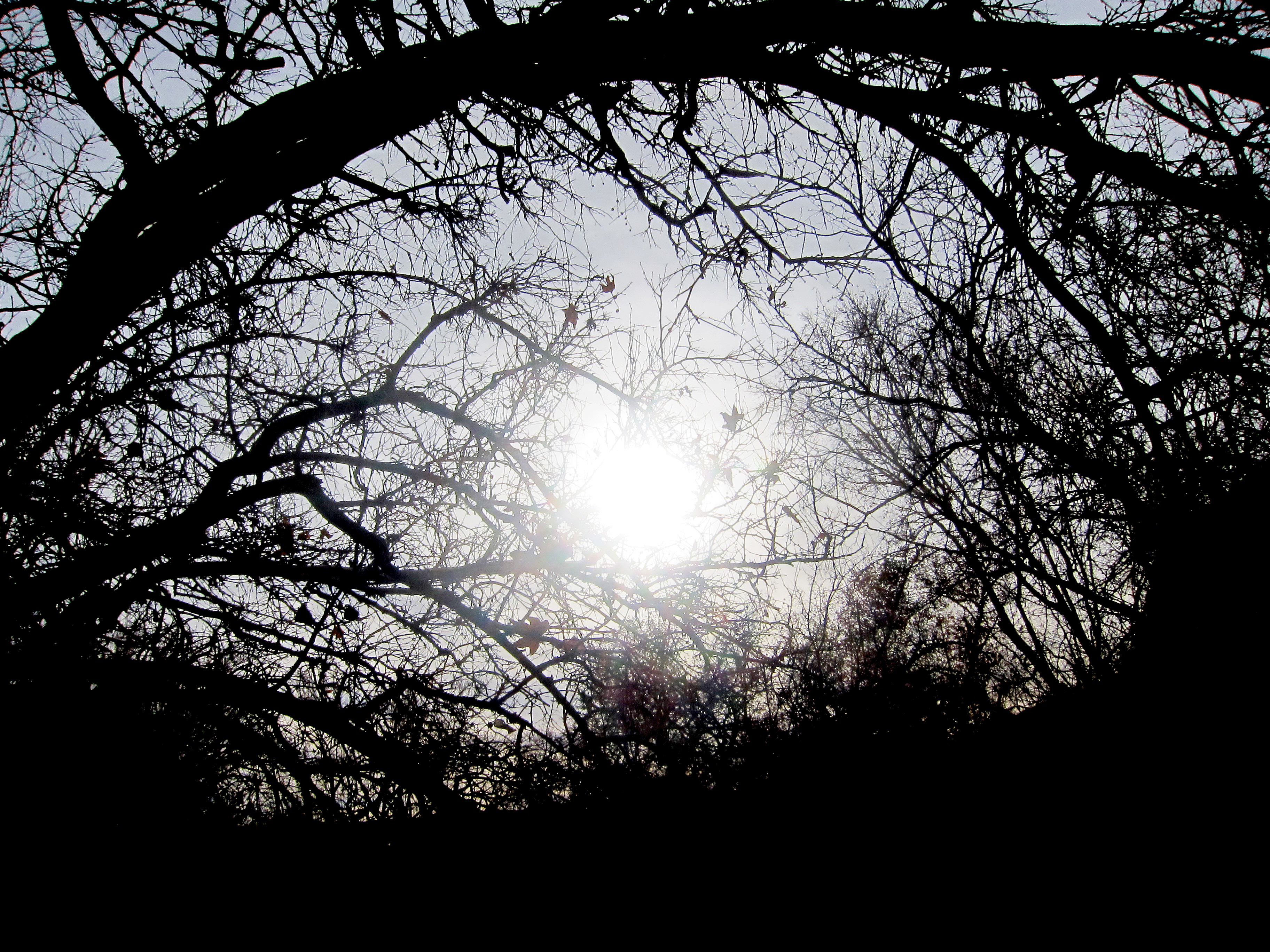
Fallen Leaves at Montezuma's Castle
Montezuma Castle National Monument - Yavapai County, Arizona
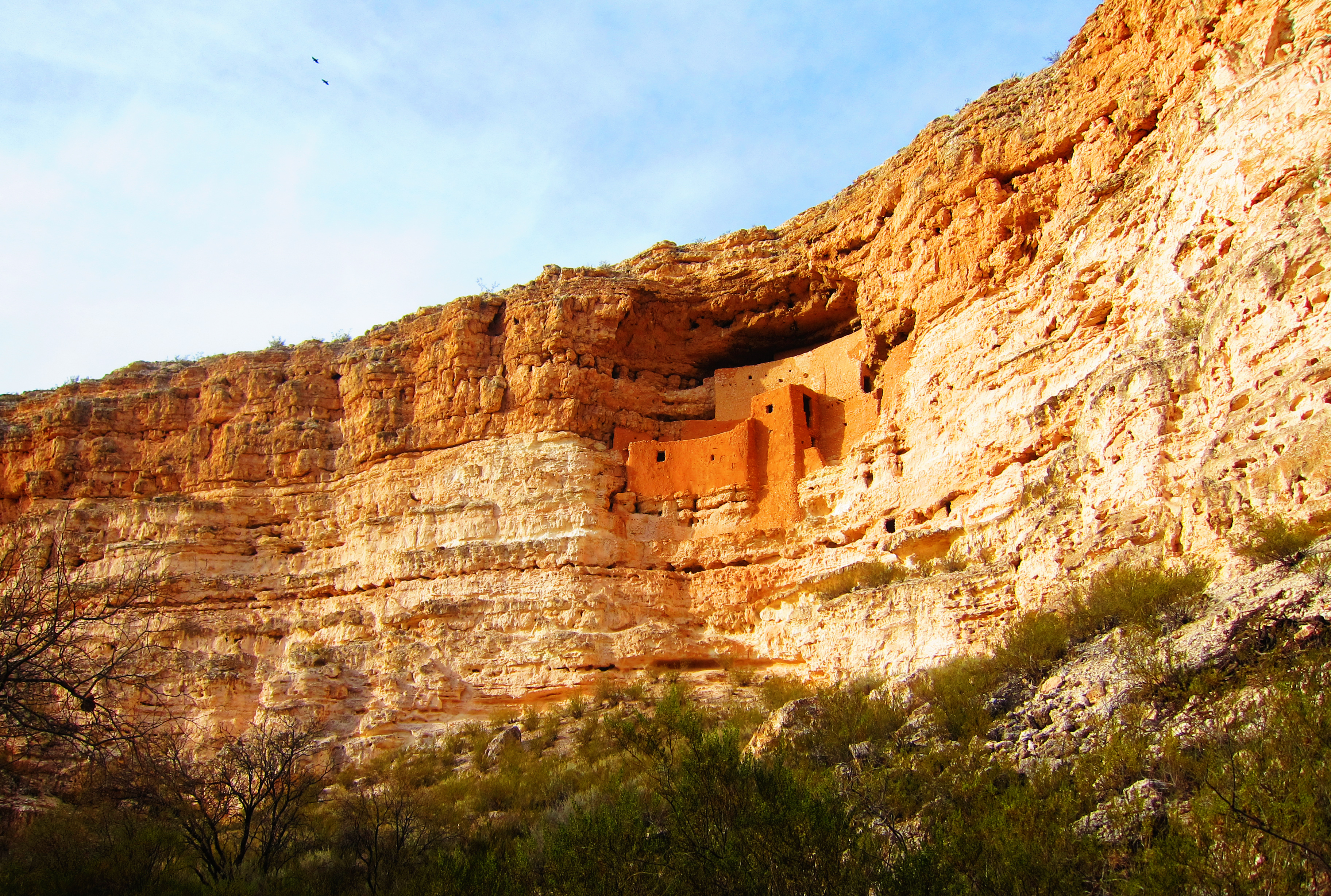
Montezuma's Castle
Gateway to Rebirth
Last Stop for the Emmett Kelly
Bubbling Springs - Sedona (1 of 6 in a series)
Historic Jerome
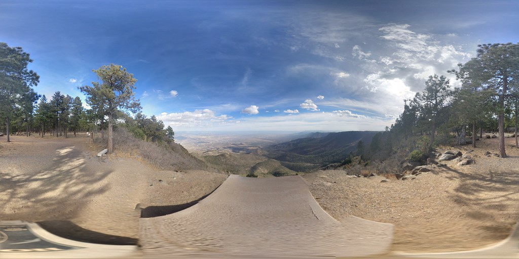
Panorama from the McGuireville Rest Area on I-17
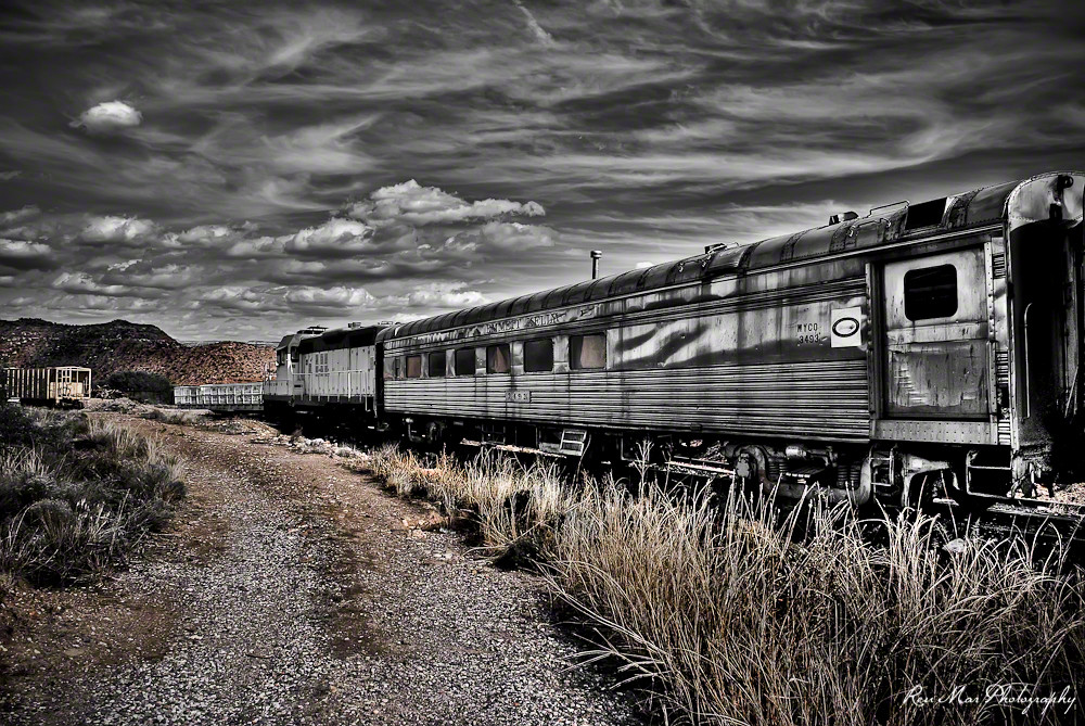
Verde Canyon Railroad
AZ-17
2011062588.jpg

Verde Canyon Railroad

Tuzigoot National Monument

Verde Canyon Railroad
Verde Canyon Railroad
Montezuma Castle and Tuzigoot - 2000 - Patrick Nouhailler ©

Montezuma Castle
Mingus Mountain Han-glider Spot
Topographic Map of South Drive Ranch Lane, S Dr Ranch Ln, Arizona, USA
Find elevation by address:

Places near South Drive Ranch Lane, S Dr Ranch Ln, Arizona, USA:
2651 S Greasewood Ln
S Owl Slick Rd, Cornville, AZ, USA
6400 E Thousand Trails Rd
Verde Valley Rv & Camping Resort
East Sapphire Circle
2850 S Sexton Ranch Rd
1655 Chick Rd
2759 Rio Verde Dr
4163 Mustang Dr
Cottonwood-verde Village
9319 E Cornville Rd
Verde Santa Fe
United States Postal Service
775 S Rising View Ct
10725 E Storey Dr
Cornville
2024 Wranglers Way
5245 Whisper Ridge
4940 E Somerset Dr
S Karlson Dr, Cornville, AZ, USA
Recent Searches:
- Elevation of Corso Fratelli Cairoli, 35, Macerata MC, Italy
- Elevation of Tallevast Rd, Sarasota, FL, USA
- Elevation of 4th St E, Sonoma, CA, USA
- Elevation of Black Hollow Rd, Pennsdale, PA, USA
- Elevation of Oakland Ave, Williamsport, PA, USA
- Elevation of Pedrógão Grande, Portugal
- Elevation of Klee Dr, Martinsburg, WV, USA
- Elevation of Via Roma, Pieranica CR, Italy
- Elevation of Tavkvetili Mountain, Georgia
- Elevation of Hartfords Bluff Cir, Mt Pleasant, SC, USA