Elevation of South Dayton, NY, USA

Location: United States > New York > Cattaraugus County > Dayton >

Longitude: -79.055594

Latitude: 42.3642269

Elevation: 400m / 1312feet

Barometric Pressure: 97KPa

Elevation Map:

elevation map of South Dayton, NY, USA

Satellite Map:

Satellite map of South Dayton, NY, USA

Related Photos:

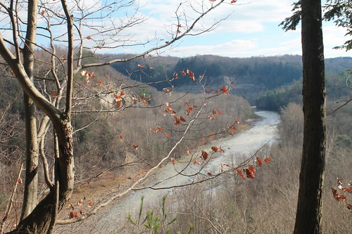
zoarvalley andyarthur firstviewofzoarvalley
First View Of Zoar Valley
square squareformat mayfair iphoneography instagramapp uploaded:by=instagram
porch view
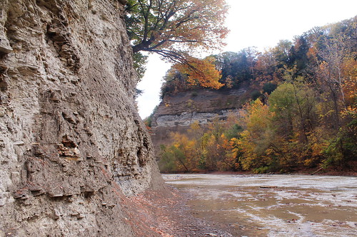
ny fallfoliage zoarvalley pyramidrock knifeedgeridge cliffszoarvalleynyfallfoliagepyramidrockknifeedgeridge
PyramidRckView 103_R
camping brown tree nature water rock danger creek outdoors stream pyramid hiking scenic rapids erosion adventure falling shore otto edge gorge overlook westernnewyork wny whitecaps zoarvalley eastotto fz7 cattarauguscreek clipp dandangler recreationgreen
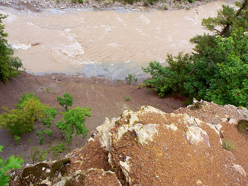
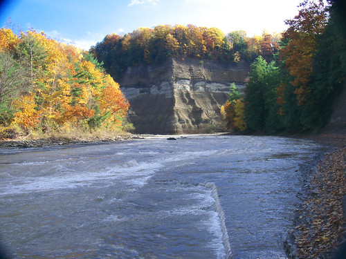
Looking over the edge of the Pyramid @ Zoar Valley, Cattaraugus Creek
ny fallfoliage convergence confluence zoarvalley martinpoint pyramidrock indianfacerock knifeedgeridge knifeedgeridgezoarvalleynyfallfoliagepyramidrockknifeedgeridgecliffs fallfoliagezoarvalleyny
PyramidRckViewOfKifEdgRdge 141_R
ny fallfoliage convergence confluence zoarvalley martinpoint indianfacerock knifeedgeridge fallfoliagezoarvalleyny
MartinPt-Convergence 165_R
usa newyork history rural blackwhite nikon unitedstates country farms grandmashouse westernnewyork wny ruralamerica westernny nikond200 ashotadayorso comac1103 southdaytonny
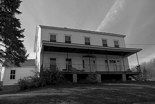
Grandmas Haunted House DSC_0002 B&W
ny lookoutpoint zoarvalley pyramidrockfallfoliagezoarvalleynyknifeedgeridgemartinspointconvergenceconfluenceindianfacerock
TowardLookOut 166_R
ny lookoutpoint zoarvalley pyramidrockfallfoliagezoarvalleynyknifeedgeridgemartinspointconvergenceconfluenceindianfacerock
TowardLookOut 167_R
from point view peter tip valley zoar andyarthur
View from the Tip of Point Peter
Common Loon
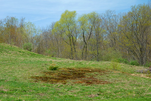
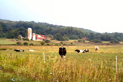
usa newyork rural landscapes spring flora nikon unitedstates country pasture farms westernnewyork wny ruralamerica westernny nikond200 ashotadayorso comac1103 southdaytonny
Pasture DSC_0001
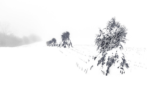
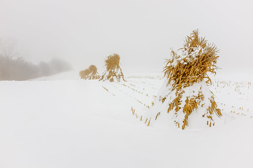
winter blackandwhite bw white snow black cold nature field rural season landscape outside outdoors countryside frozen spring corn cornfield frost natural outdoor snowy farm horizon country farming harvest scenic peaceful nobody farmland amish leon crop land lancaster cornstalks fields agriculture lancastercounty maize sweetcorn agricultural oldfashioned westernnewyork wny chautauqua farmstead amishcountry westernny cattaraugus cornshocks padutchcountry bordeleau leonnewyork
Corn Shocks is a winter field - BW
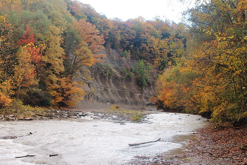
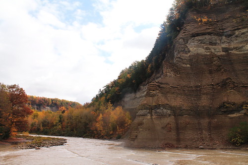
newyork unitedstates rivers zoarvalley gowanda cattarauguscreek cattarauguscounty parksandnature
Zoar Valley
zoarvalley andyarthur alongthesouthbranch
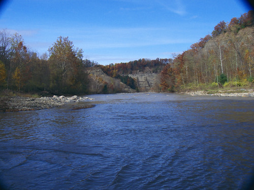
Along The South Branch
zoarvalley andyarthur nosewherethesouthbranchofcattaraguscreekjoinsthemainbranch
Nose Where The South Branch Of Cattaragus Creek Joins The Main Branch
winter brown white snow cold green nature field yellow rural season landscape outside outdoors golden countryside frozen corn cornfield frost natural outdoor cut snowy farm horizon country farming harvest scenic peaceful nobody farmland fresh amish leon crop land lancaster cornstalks fields change agriculture lancastercounty maize sweetcorn agricultural oldfashioned westernnewyork wny chautauqua farmstead amishcountry westernny cattaraugus cornshocks padutchcountry bordeleau cornstorage leonnewyork
Corn Shocks is a winter field
homes newyork unitedstates eriecounty gowanda
Gowanda, NY
DSC03260.jpg
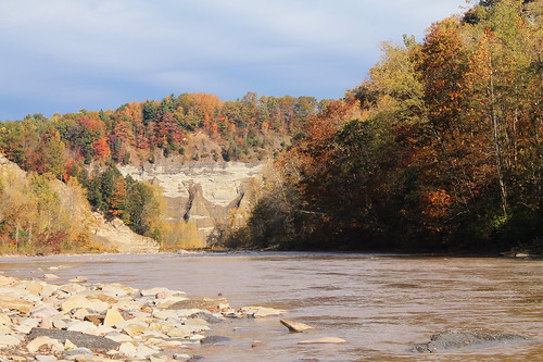
newyork unitedstates rivers zoarvalley gowanda cattarauguscreek cattarauguscounty parksandnature
Zoar Valley
zoarvalley andyarthur lookingbackatpinnaclepointfromtheriver
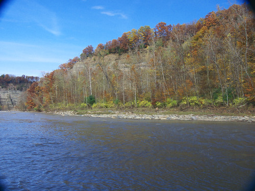
Looking Back At Pinnacle Point From The River
Zoar Valley
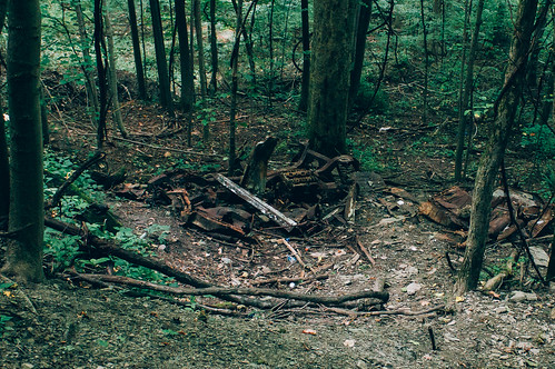
Old Car
The Girls
zoarvalley andyarthur ishouldwatchforfallingrocks
I Should Watch For Falling Rocks
Zoar Valley
DSC03300.jpg
Over or Under
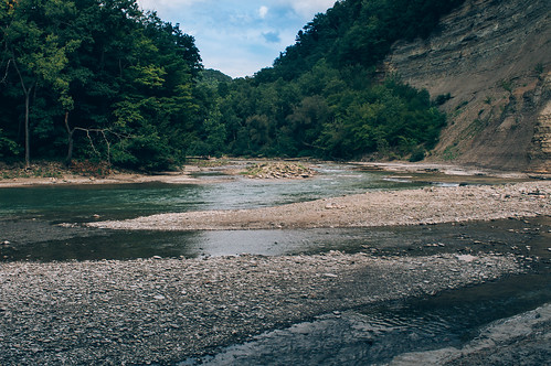
zoarvalley andyarthur gentledropinsouthbranch
Gentle Drop In South Branch
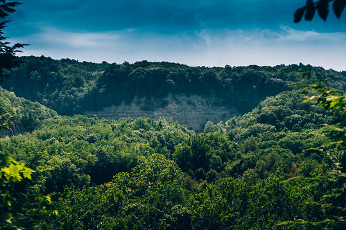
Blanketed in Green
zoarvalley
16DwnFrmLookOut Pnt