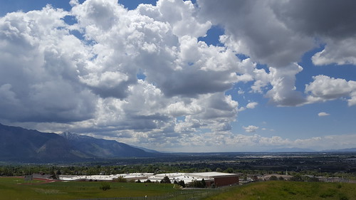
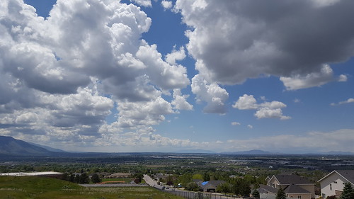
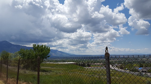
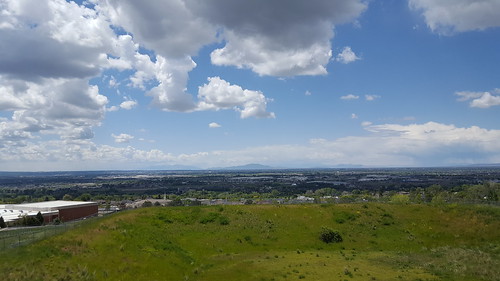
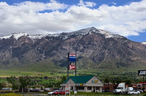
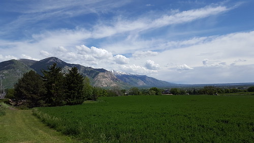
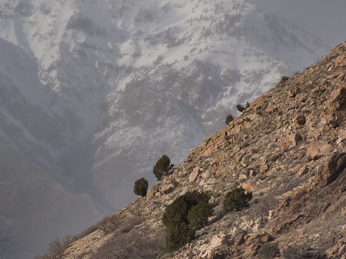
Elevation of South Appaloosa Way, Willard, UT, USA
Location: United States > Utah > Box Elder County > Willard >
Longitude: -112.03084
Latitude: 41.3967795
Elevation: 1331m / 4367feet
Barometric Pressure: 86KPa
Related Photos:
Topographic Map of South Appaloosa Way, Willard, UT, USA
Find elevation by address:

Places near South Appaloosa Way, Willard, UT, USA:
10 N Main St, Willard, UT, USA
Willard
3505 Us-89
3505 Us-89
Freedom St, Brigham City, UT, USA
Perry
Waterfall Drive
405 4400 N
2744 W 3375 N
3571 N 1000 W
3571 N 950 W
3145 Us-89
Weber High School
14 W 1500 S
Pleasant View
547 E 3725 N
N E, Ogden, UT, USA
3155 700 E St
952 E 3025 N
2888 N 1300 E
Recent Searches:
- Elevation of Corso Fratelli Cairoli, 35, Macerata MC, Italy
- Elevation of Tallevast Rd, Sarasota, FL, USA
- Elevation of 4th St E, Sonoma, CA, USA
- Elevation of Black Hollow Rd, Pennsdale, PA, USA
- Elevation of Oakland Ave, Williamsport, PA, USA
- Elevation of Pedrógão Grande, Portugal
- Elevation of Klee Dr, Martinsburg, WV, USA
- Elevation of Via Roma, Pieranica CR, Italy
- Elevation of Tavkvetili Mountain, Georgia
- Elevation of Hartfords Bluff Cir, Mt Pleasant, SC, USA


