Elevation of Sourwood Dr, Westminster, SC, USA
Location: United States > South Carolina > Oconee County > Westminster >
Longitude: -83.104262
Latitude: 34.553564
Elevation: 237m / 778feet
Barometric Pressure: 99KPa
Elevation Map:
Satellite Map:
Related Photos:

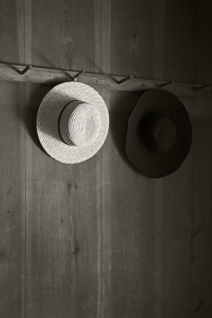
Bench Monday: 5th Edition of January
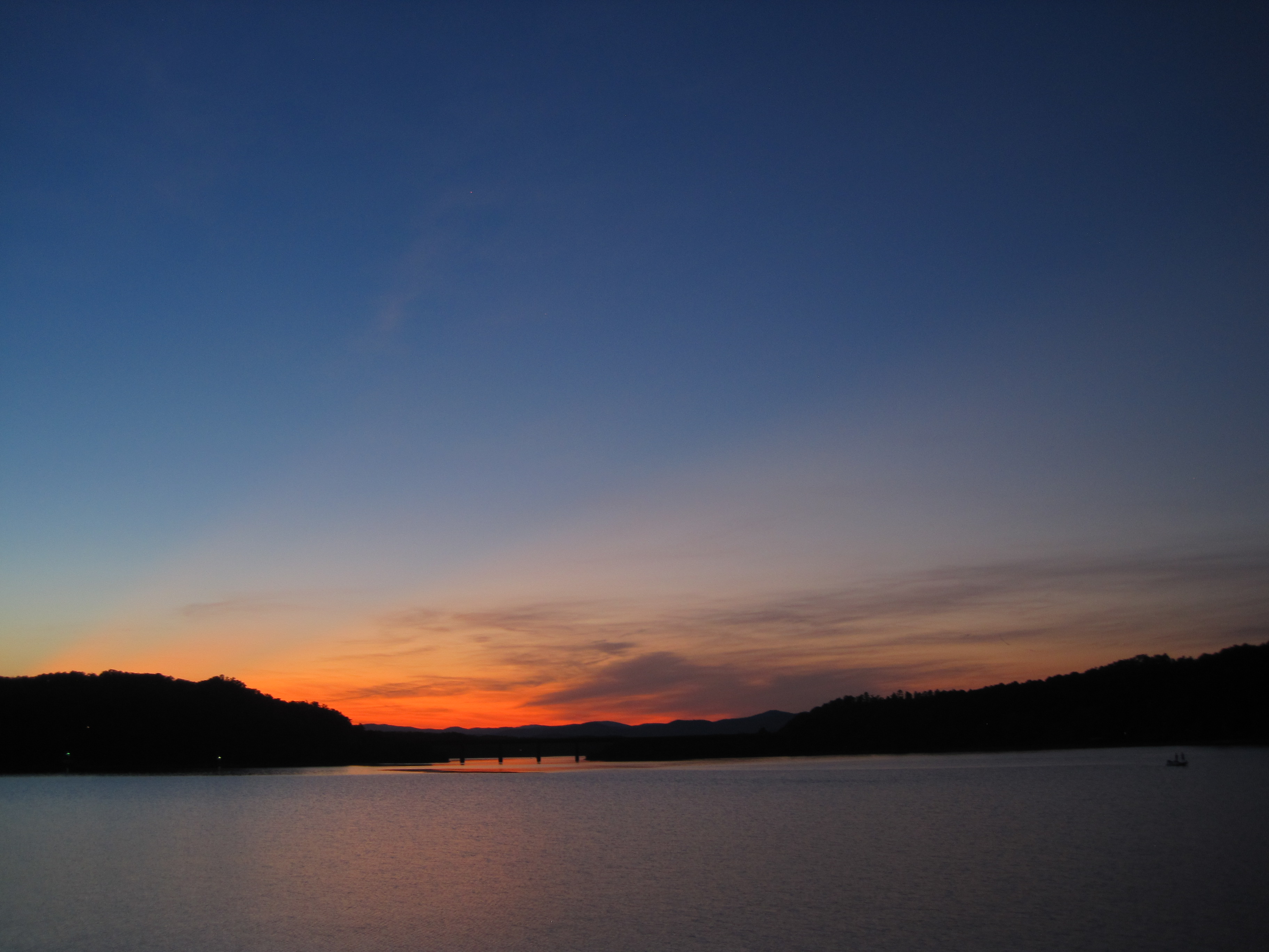
Settlin’ in for some night fishing on Lake Hartwell.
Traveler's Rest
31.365
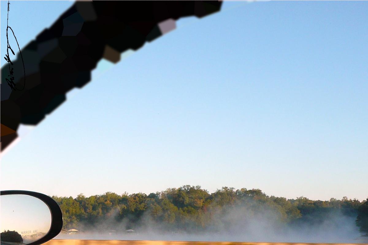
Misty View
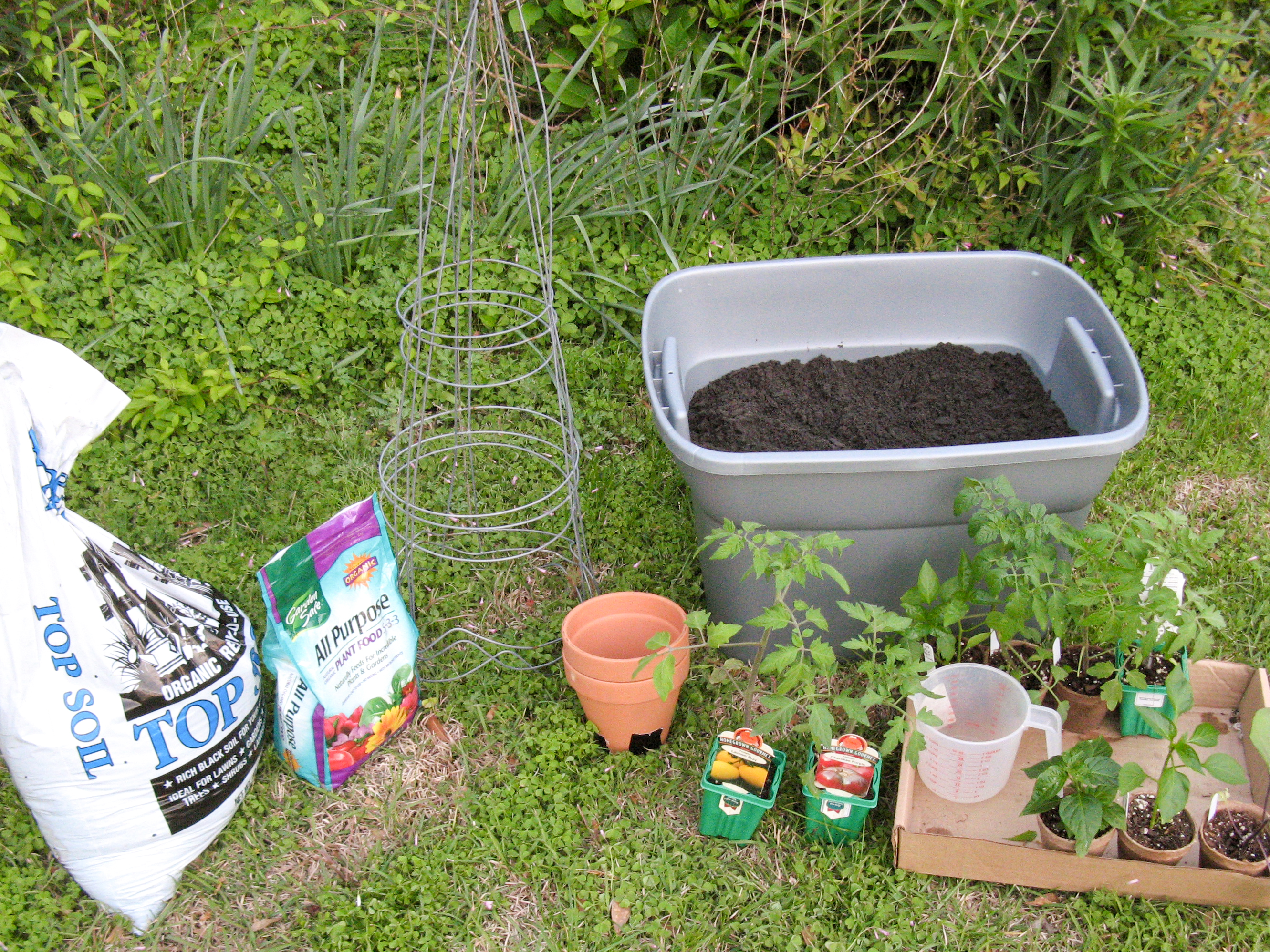
Starting container garden

Hole in the house
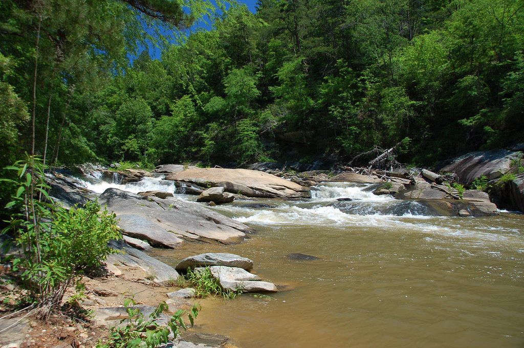
Ramsey Creek
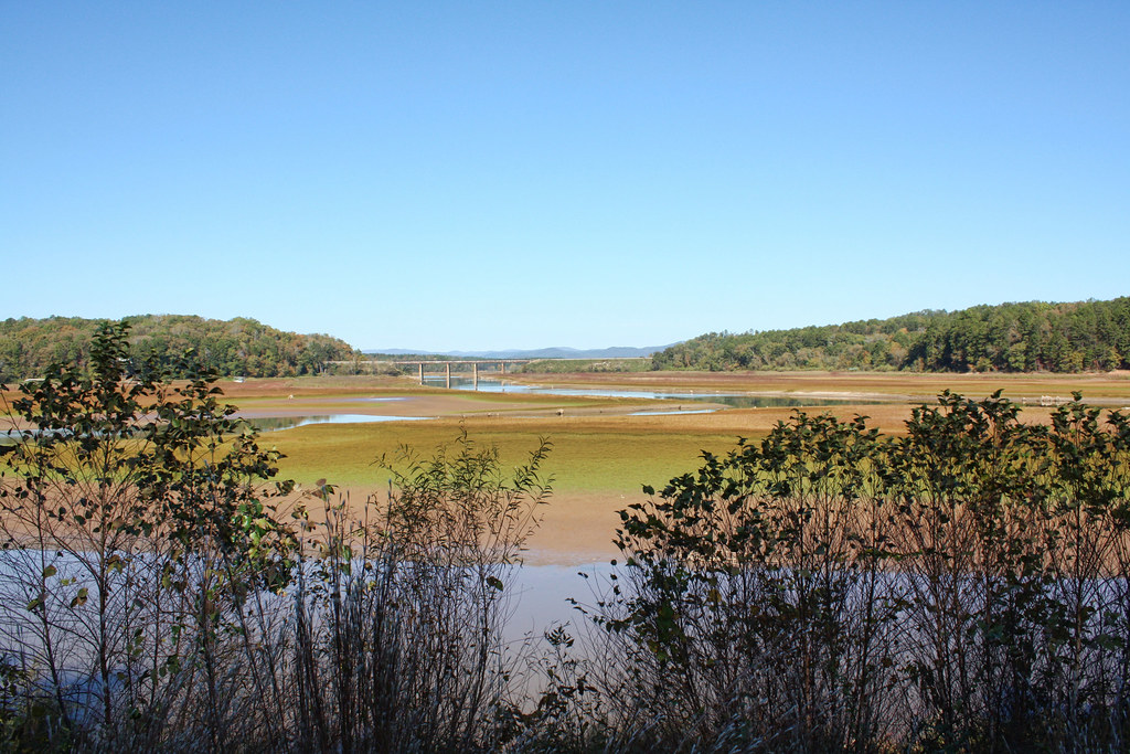
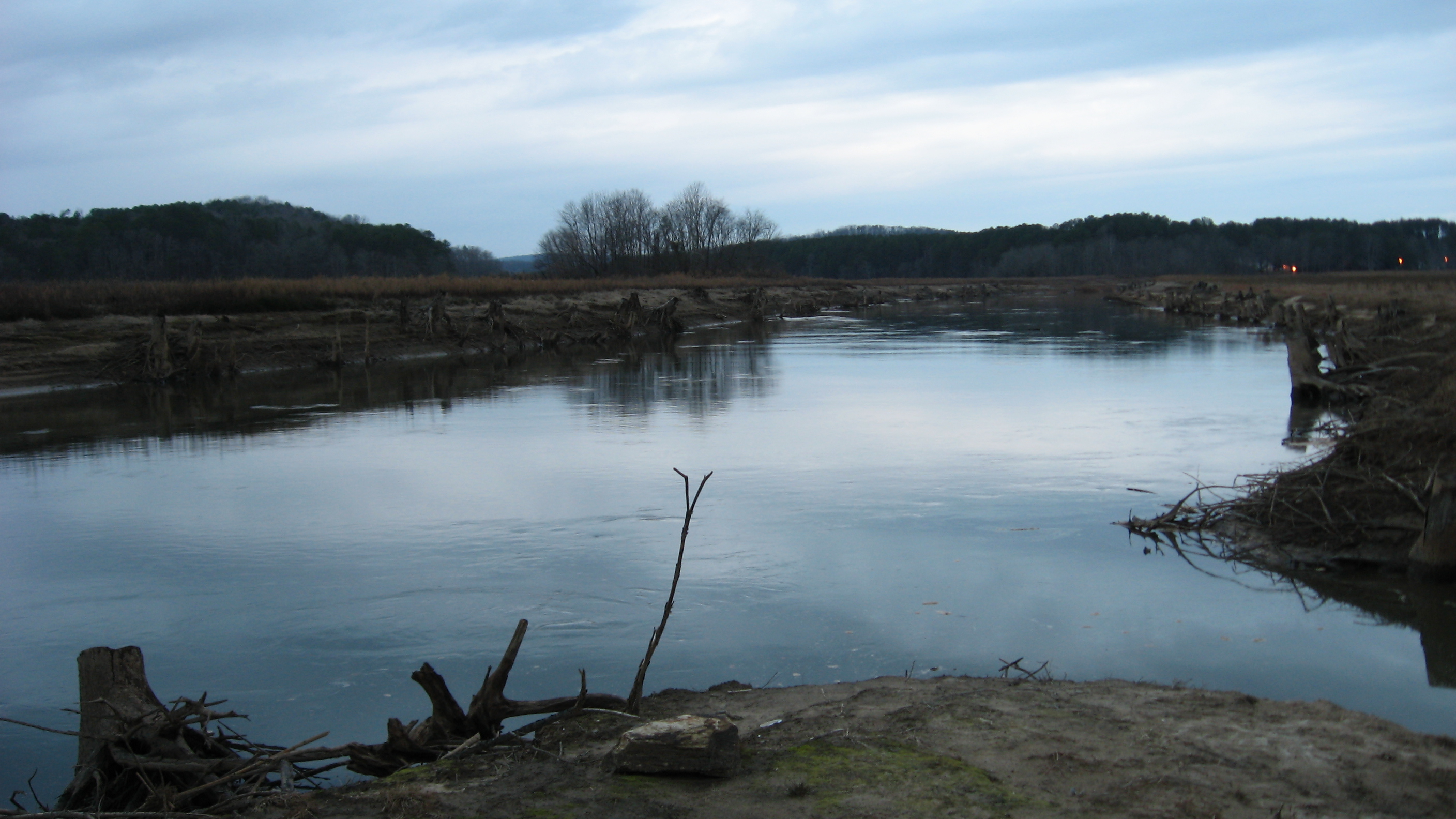
Tugaloo River
NS 2531
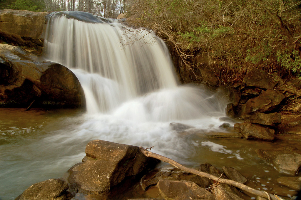
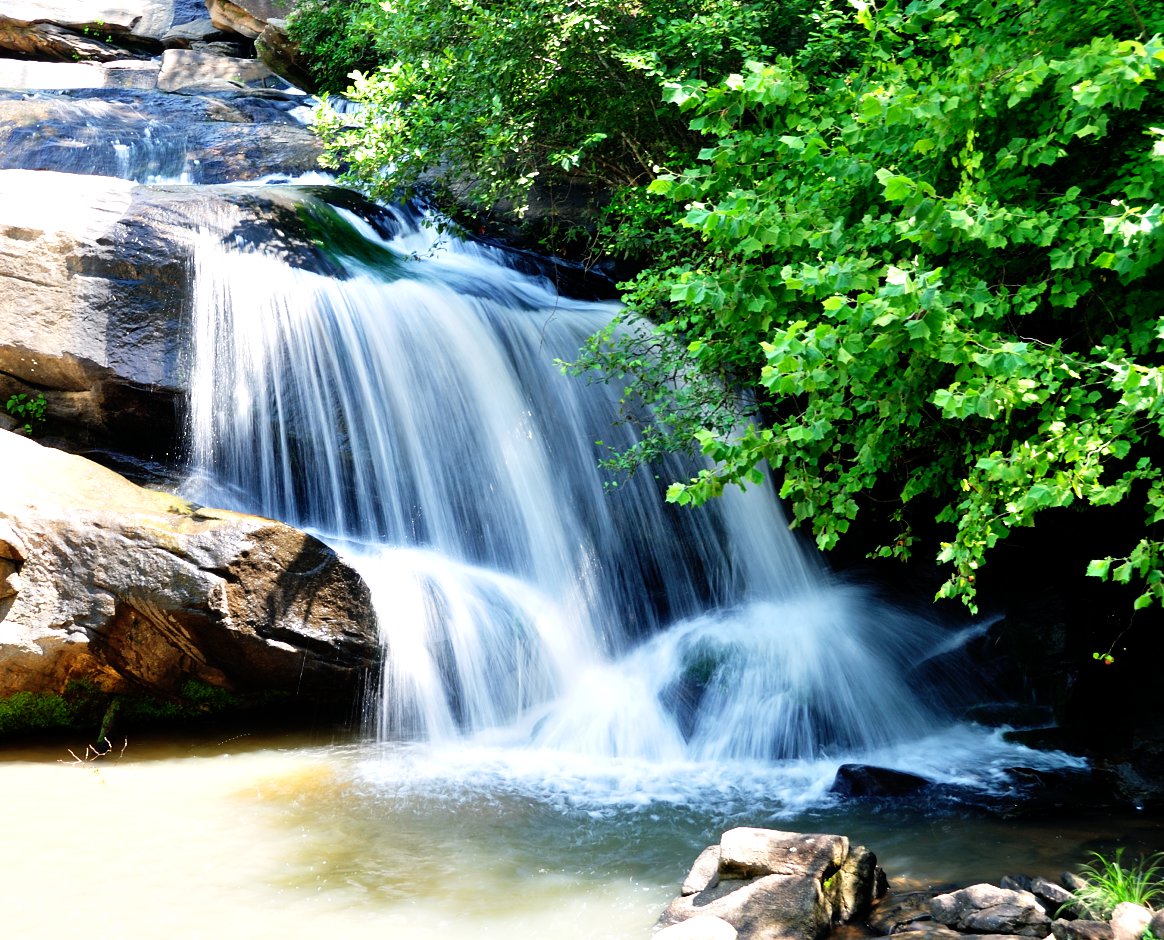
Ramsey Fall

Enjoying beach & sand (Tugaloo State Park)
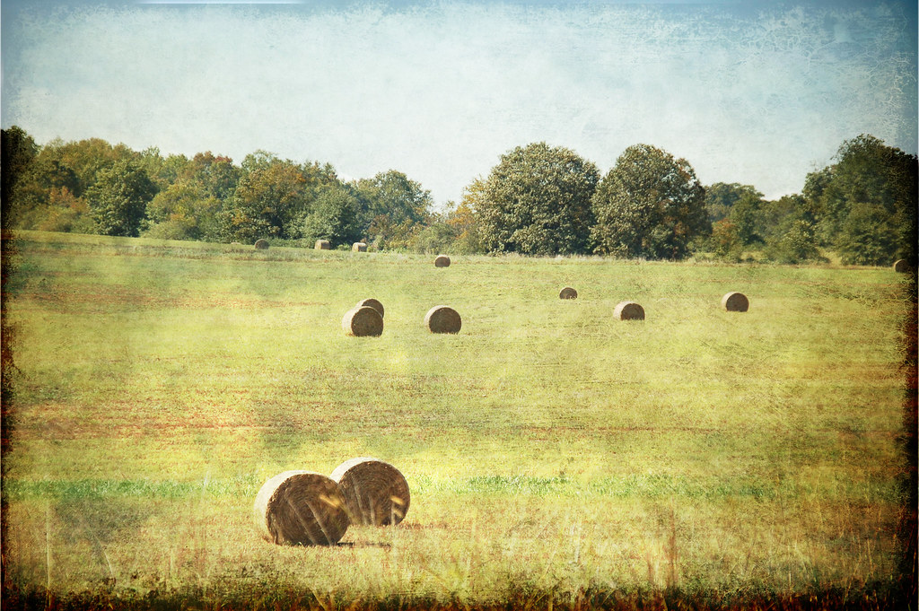
Bales of Hay Texture

When you've gotta go in the woods, you gotta go in the woods.
Tugalo site.
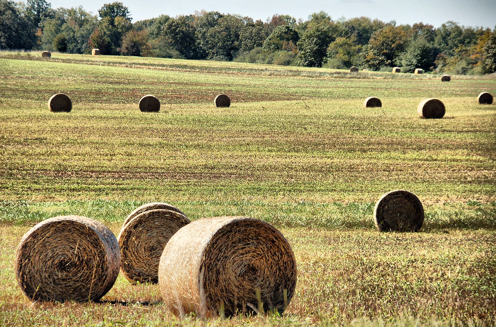
Bales of Hay 2 HDR
Bales of Hay Lomo

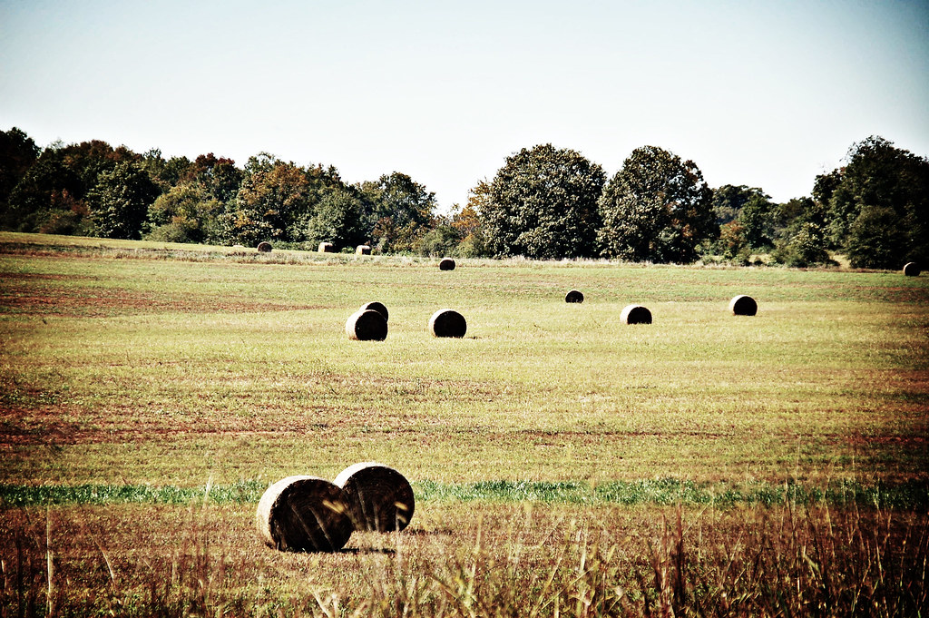
Bales of Hay

Bridge 736-13

Enjoying beach & sand (Tugaloo State Park)

Bridge 736-24

Chauga mound.

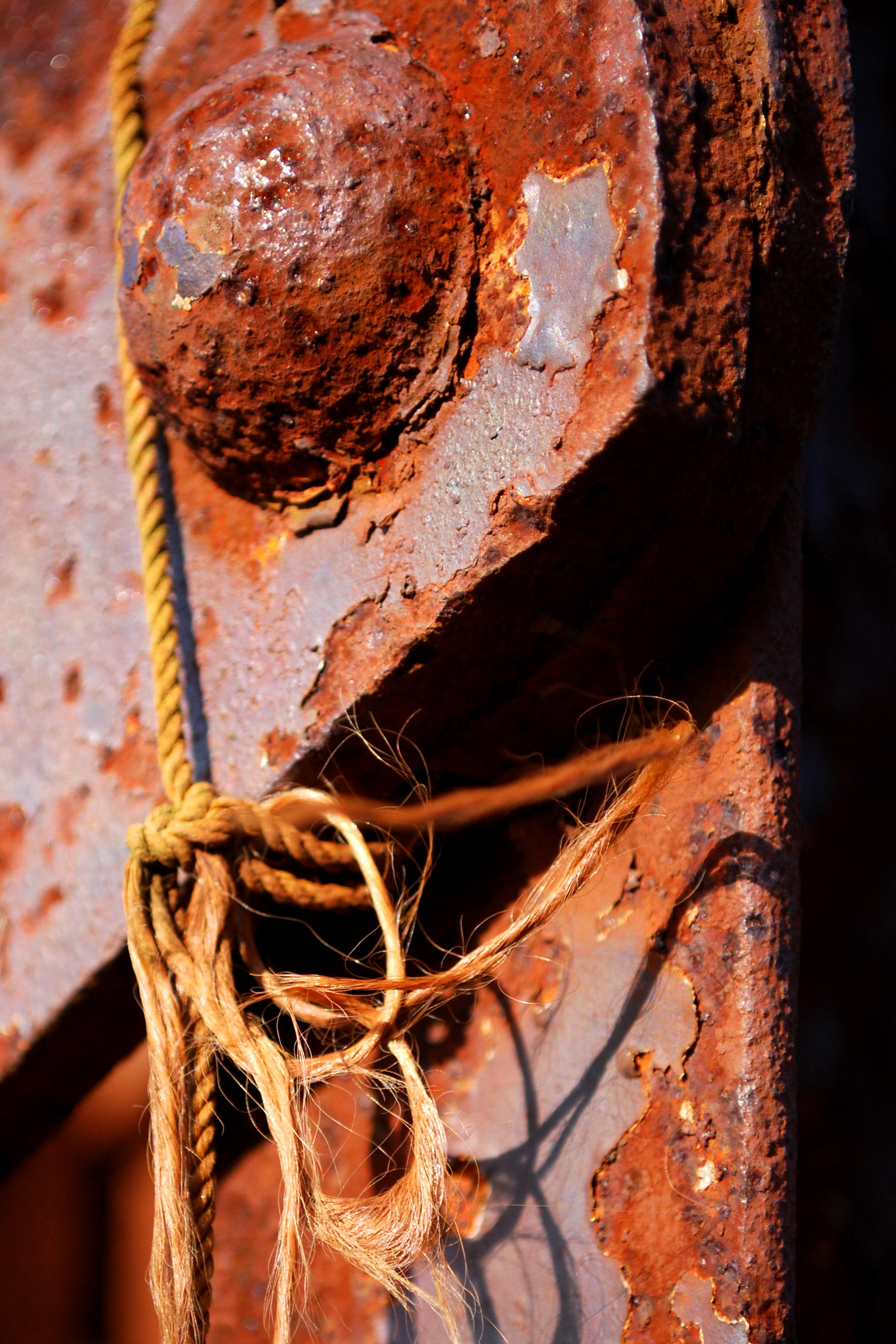
Victim of Time

Muscadine trail (Tugaloo State Park)

Enjoying beach & sand (Tugaloo State Park)
Chauga River

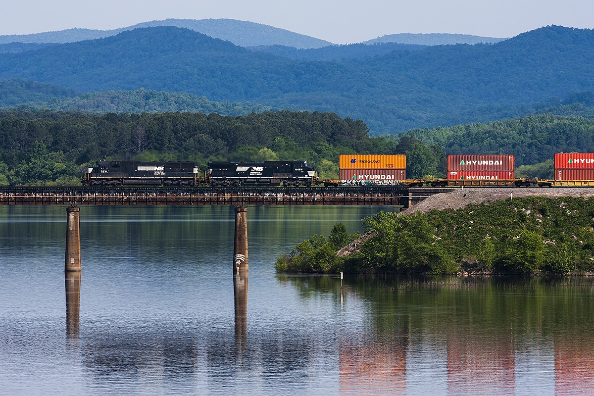
NS 237 crossing over the Tugaloo River at the SC/GA State Line

Boat ramp side (Tugaloo State Park)
Topographic Map of Sourwood Dr, Westminster, SC, USA
Find elevation by address:

Places near Sourwood Dr, Westminster, SC, USA:
902 Saxton Rd
Kingston Manor Drive
357 Hillshore Rd
456 Lake Pl Dr
5877 Gumlog Rd
133 S Port Bass Dr
82 Clairmont Point
2132 Seven Forks Rd
Normandy Trail, Lavonia, GA, USA
Gumlog
110 Pittman Cir
104 Tommy Drive
524 Amanda Evon Dr
11 State Rd S-37-138
Tugaloo State Park
Circle W Dr, Westminster, SC, USA
421 Davis School Rd
421 Davis School Rd
Bay Dr, Fair Play, SC, USA
336 Leroy Rd
Recent Searches:
- Elevation of Corso Fratelli Cairoli, 35, Macerata MC, Italy
- Elevation of Tallevast Rd, Sarasota, FL, USA
- Elevation of 4th St E, Sonoma, CA, USA
- Elevation of Black Hollow Rd, Pennsdale, PA, USA
- Elevation of Oakland Ave, Williamsport, PA, USA
- Elevation of Pedrógão Grande, Portugal
- Elevation of Klee Dr, Martinsburg, WV, USA
- Elevation of Via Roma, Pieranica CR, Italy
- Elevation of Tavkvetili Mountain, Georgia
- Elevation of Hartfords Bluff Cir, Mt Pleasant, SC, USA