Elevation of Sompiojärventie, Sodankylä, Finland
Location: Finland > Sodankylä >
Longitude: 27.5646515
Latitude: 68.1131964
Elevation: 313m / 1027feet
Barometric Pressure: 98KPa
Elevation Map:
Satellite Map:
Related Photos:
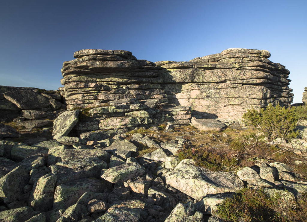
20160913_MG_3785_Finland.Nattaset

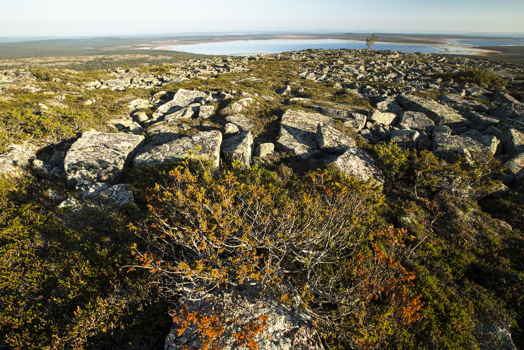
20160913_MG_3765_Finland.Nattaset
20160913_MG_3777_Finland.Nattaset
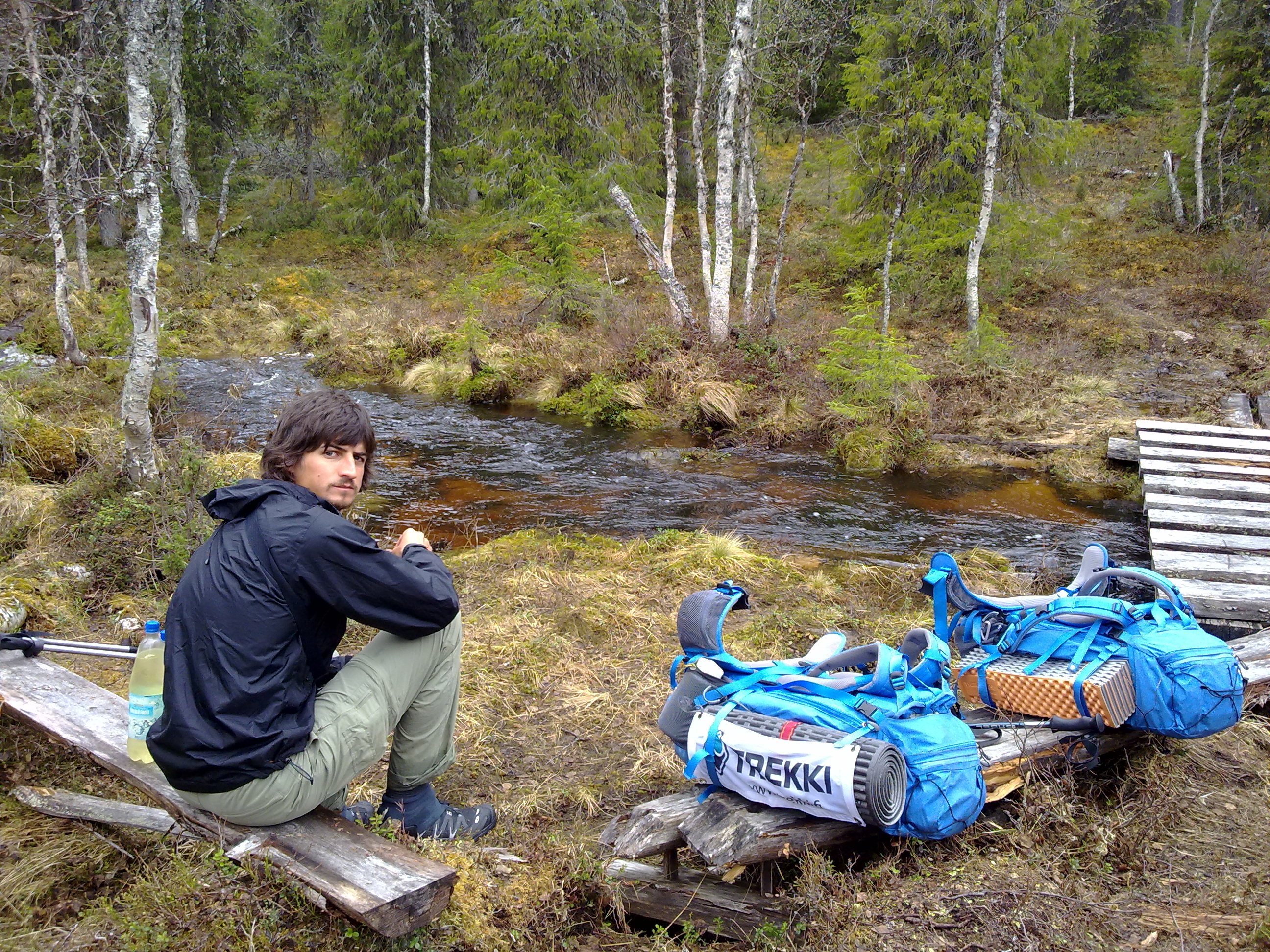
Relax time by the river

Caminhando sobre as augas
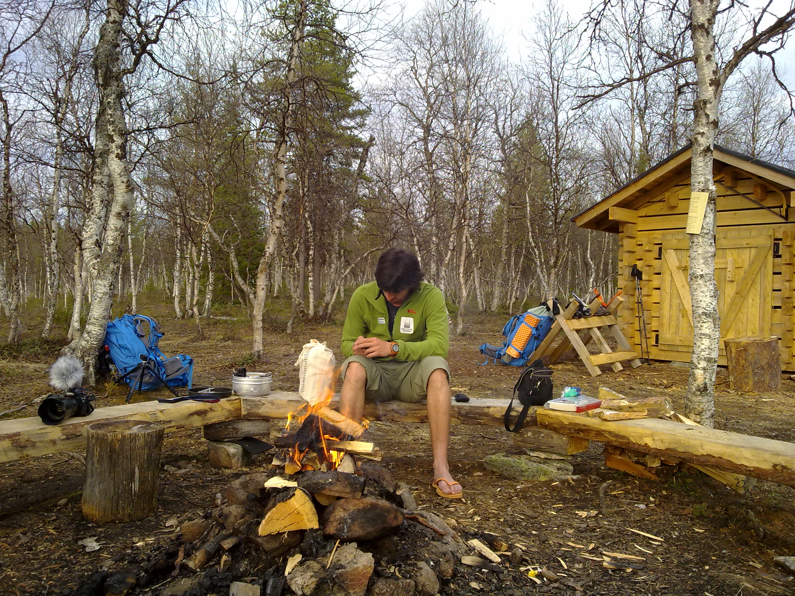
Perfecto final para a primeira etapa sen asfalto
Topographic Map of Sompiojärventie, Sodankylä, Finland
Find elevation by address:

Places near Sompiojärventie, Sodankylä, Finland:
Sompiojärventie, Sodankylä, Finland
Sompiojärventie, Sodankylä, Finland
Kiilopääntie, Inari, Finland
Jorpulipääntie, Sodankylä, Finland
Välituvantie 91, Sodankylä, Finland
Välituvantie 80
Moitamaantie 46, Sodankylä, Finland
Saariselkä
Rovaniementie, Inari, Finland
Tankavaarantie 38, Sodankylä, Finland
Sodankyläntie, Savukoski, Finland
Inari
Inari
Recent Searches:
- Elevation of Corso Fratelli Cairoli, 35, Macerata MC, Italy
- Elevation of Tallevast Rd, Sarasota, FL, USA
- Elevation of 4th St E, Sonoma, CA, USA
- Elevation of Black Hollow Rd, Pennsdale, PA, USA
- Elevation of Oakland Ave, Williamsport, PA, USA
- Elevation of Pedrógão Grande, Portugal
- Elevation of Klee Dr, Martinsburg, WV, USA
- Elevation of Via Roma, Pieranica CR, Italy
- Elevation of Tavkvetili Mountain, Georgia
- Elevation of Hartfords Bluff Cir, Mt Pleasant, SC, USA