Elevation map of Somogy County, Hungary
Location: Hungary >
Longitude: 17.5866732
Latitude: 46.554859
Elevation: 159m / 522feet
Barometric Pressure: 99KPa
Elevation Map:
Satellite Map:
Related Photos:

M40 114 - Várda
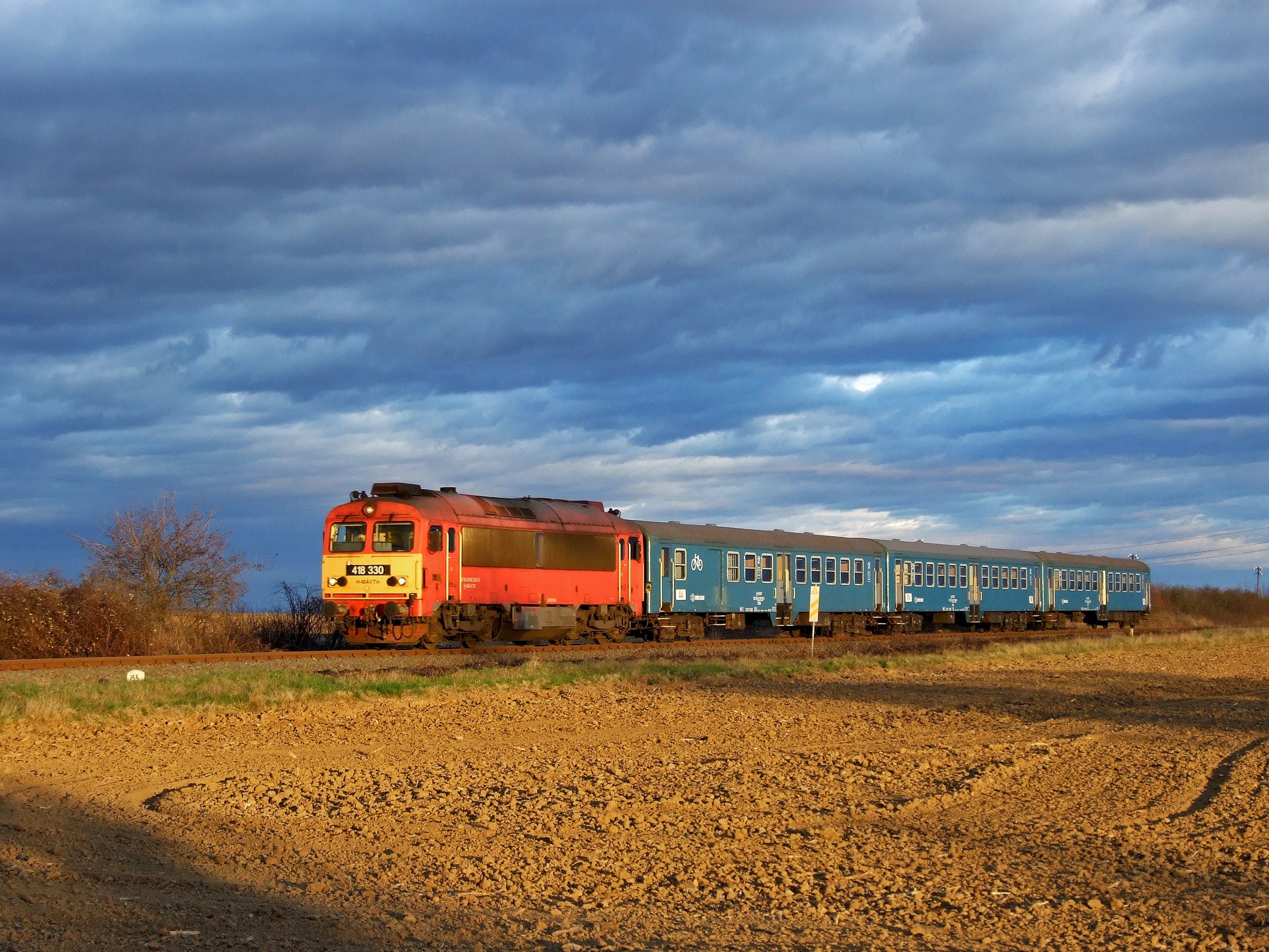
M41 2330 - Várda
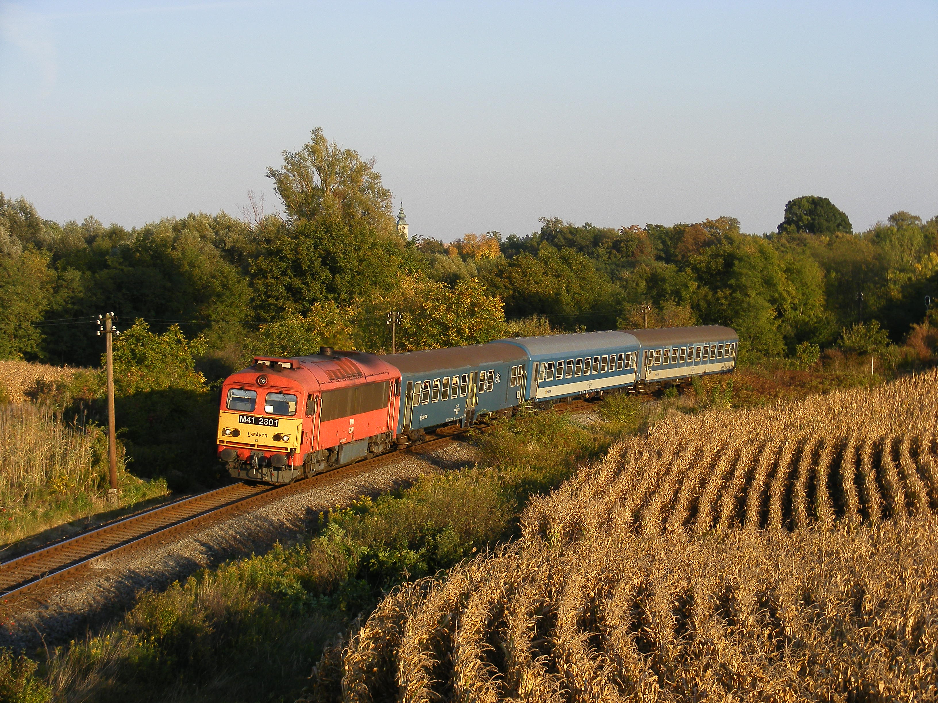
M41 2301 - Somogyjád

Lengyeltóti001
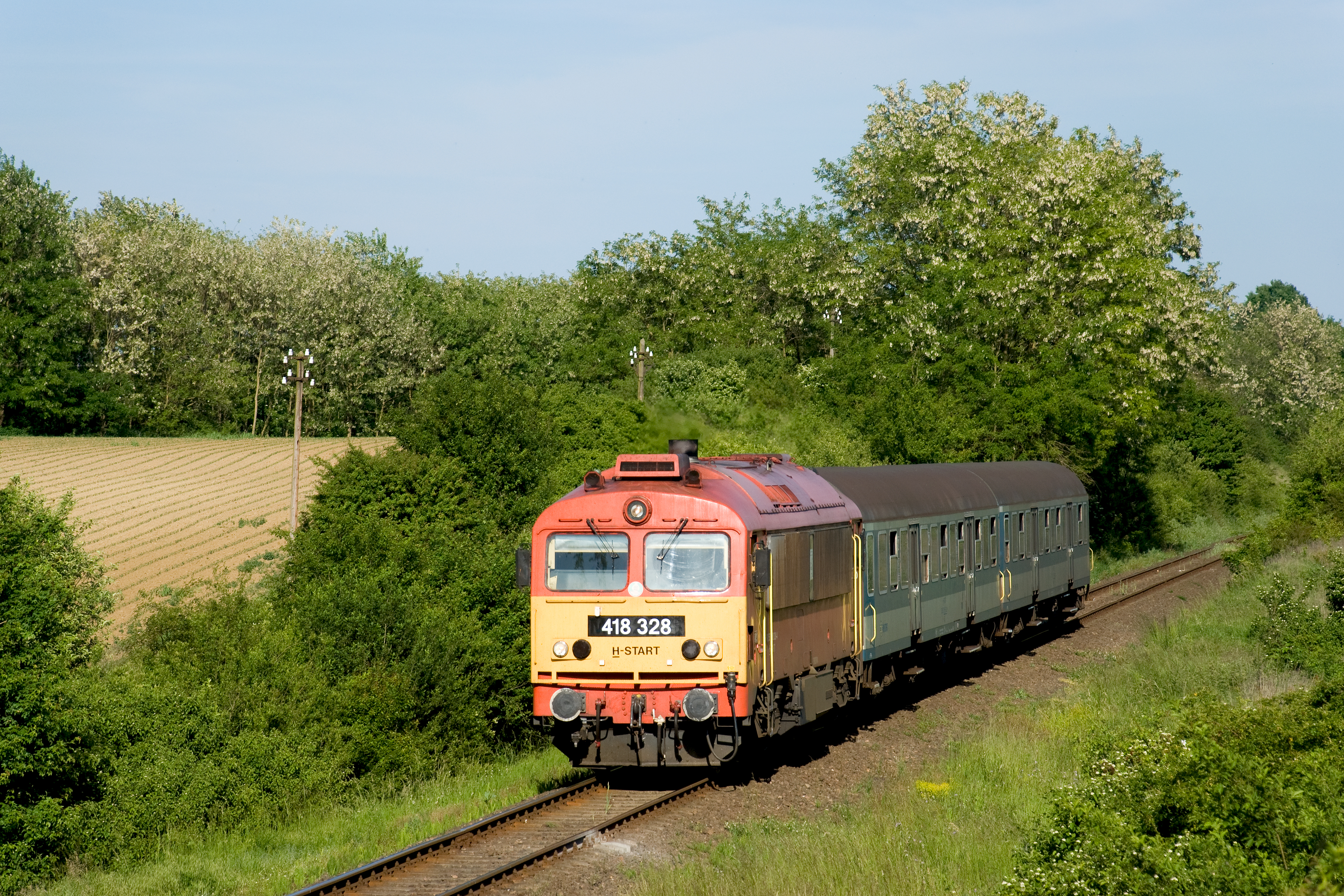
M41 2328 - Somogyjád

M47 1319 - Várda

M41 2118 - Várda

M62 116 - Pamuk

M41 2204 - Pamuk

Buzsák - 2015-10
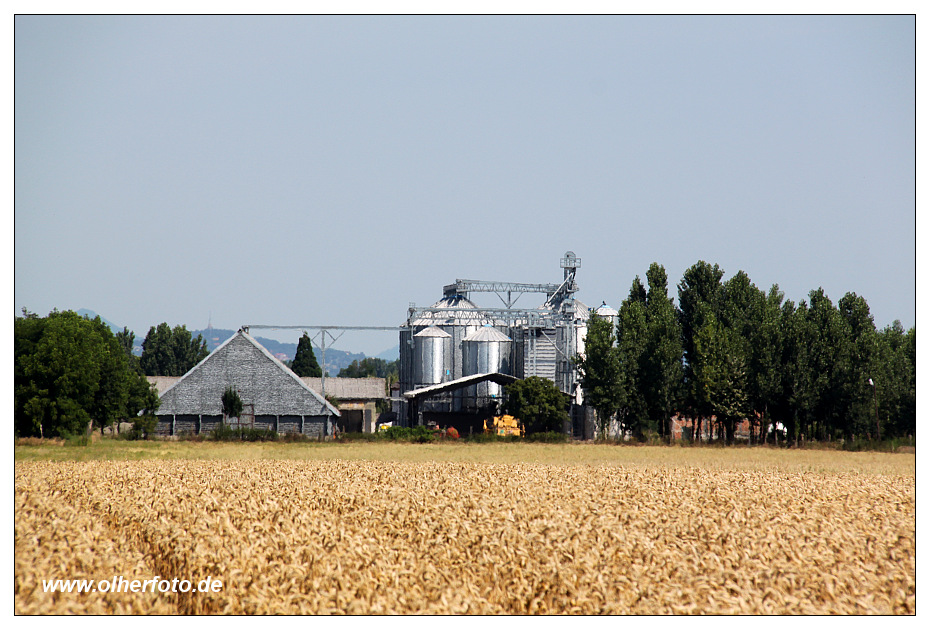
Buzsák - 2015-04

Buzsák - 2015-01
Buzsák - 2015-02
M41 2301 - Várda

M41 2301 - Várda
Topographic Map of Somogy County, Hungary
Find elevation by address:

Places in Somogy County, Hungary:
Places near Somogy County, Hungary:
Fonyód
Virág U. 37
Somogyaszaló
Somogyaszaló, Kossuth Lajos u. 80, Hungary
Lapapusztai Temető
Szentgáloskér
Balatonszemes
Tapolcai
Lake Balaton
Balatonszentgyörgy
Balatonhenye, Kossuth u. 77, Hungary
Balatonhenye
Tapolca
Lesenceistvánd, Kossuth u., Hungary
Gölle
Zalavár
Hévíz–balaton Airport
Barnag
Barnag, Fő u. 89, Hungary
Hévíz
Recent Searches:
- Elevation of Corso Fratelli Cairoli, 35, Macerata MC, Italy
- Elevation of Tallevast Rd, Sarasota, FL, USA
- Elevation of 4th St E, Sonoma, CA, USA
- Elevation of Black Hollow Rd, Pennsdale, PA, USA
- Elevation of Oakland Ave, Williamsport, PA, USA
- Elevation of Pedrógão Grande, Portugal
- Elevation of Klee Dr, Martinsburg, WV, USA
- Elevation of Via Roma, Pieranica CR, Italy
- Elevation of Tavkvetili Mountain, Georgia
- Elevation of Hartfords Bluff Cir, Mt Pleasant, SC, USA