Elevation of Somnath, Gujarat, India
Location: India > Gujarat > Junagadh >
Longitude: 70.3843721
Latitude: 20.9060022
Elevation: 7m / 23feet
Barometric Pressure: 101KPa
Elevation Map:
Satellite Map:
Related Photos:
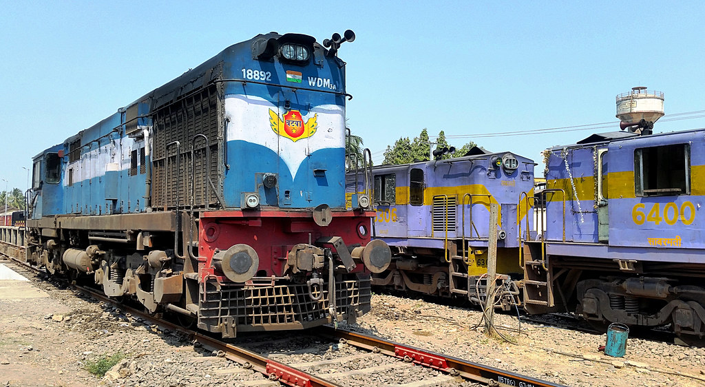
IR WDM3A 18892 YDM4s 6400 6306 VRL 030318

Sunset, Somnathpur, Gujarat, India

Somnath, Gujarat, India

SOMNATH SEASHORE

MICROWAVE TOWER @ DWARKA

Somnath 4

Cyclone Vayu Relief - Rajkot

Cyclone Vayu Relief - Rajkot

Somnath Temple

Somnath temple, Gujarat

Cyclone Vayu Relief - Rajkot
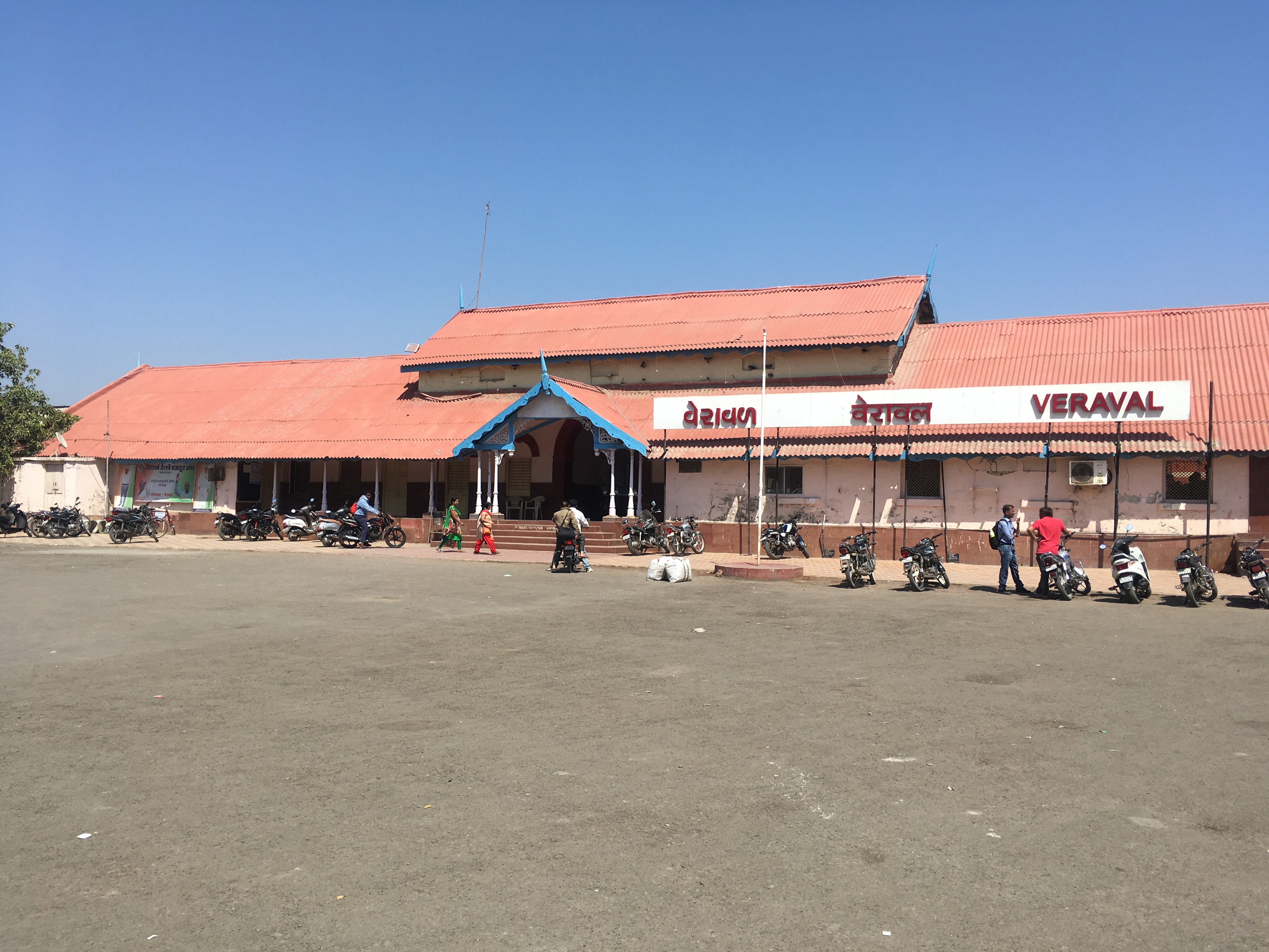
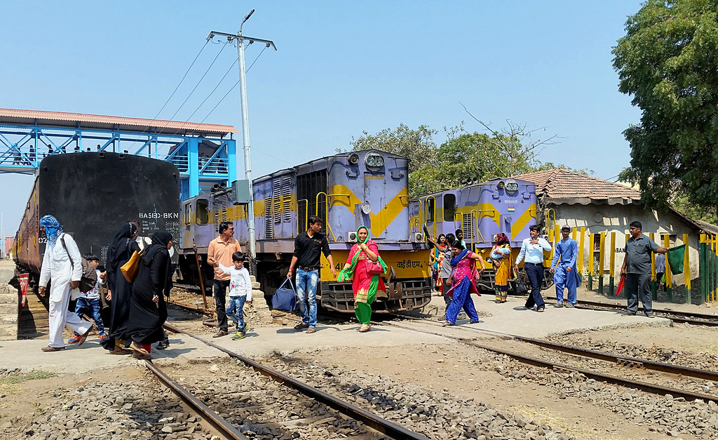
Veraval Junction

SBI YDM-4 at Veraval
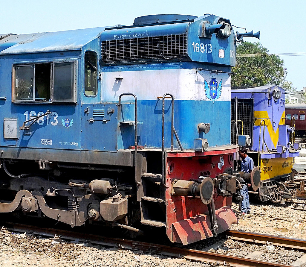
IR WDM3A 16813 YDM4 6400 VRL 040318_2

IR YDM4 6371 VRL 040318
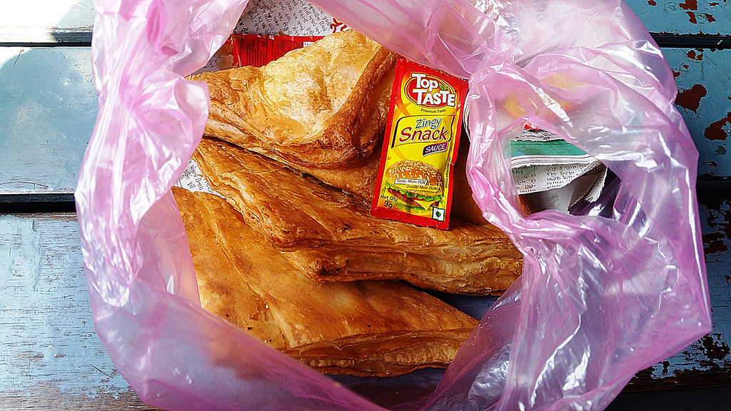
IR Veraval patties on 52933 040318
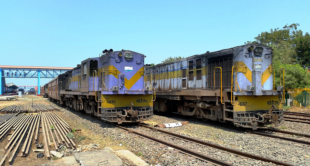
IR YDM4 6692 6317 VRL 040318

IR WDM3A 16156 VRL 040318

IR WDM3A 16813 YDM4 6400 VRL 040318_1
IR YDM4 6402 52946 6416 VRL 030318
IR YDM4 6402 52946 6371 VRL 030318

IR WDM3A 18892 YDM4s 6400 6306 6416 VRL 030318

First among the 12 Jyotirlinga shrines of Lord Shiva: Somnath temple

Feed time

20161107.1413.Indien.Gujarat.Somnath.Prabhas Patan

20161106.1383.Indien.Gujarat.Somnath
Topographic Map of Somnath, Gujarat, India
Find elevation by address:

Places near Somnath, Gujarat, India:
Recent Searches:
- Elevation of Corso Fratelli Cairoli, 35, Macerata MC, Italy
- Elevation of Tallevast Rd, Sarasota, FL, USA
- Elevation of 4th St E, Sonoma, CA, USA
- Elevation of Black Hollow Rd, Pennsdale, PA, USA
- Elevation of Oakland Ave, Williamsport, PA, USA
- Elevation of Pedrógão Grande, Portugal
- Elevation of Klee Dr, Martinsburg, WV, USA
- Elevation of Via Roma, Pieranica CR, Italy
- Elevation of Tavkvetili Mountain, Georgia
- Elevation of Hartfords Bluff Cir, Mt Pleasant, SC, USA