Elevation of Soma, Fukushima Prefecture, Japan
Location: Japan > Fukushima Prefecture >
Longitude: 140.919469
Latitude: 37.7966242
Elevation: 11m / 36feet
Barometric Pressure: 101KPa
Elevation Map:
Satellite Map:
Related Photos:

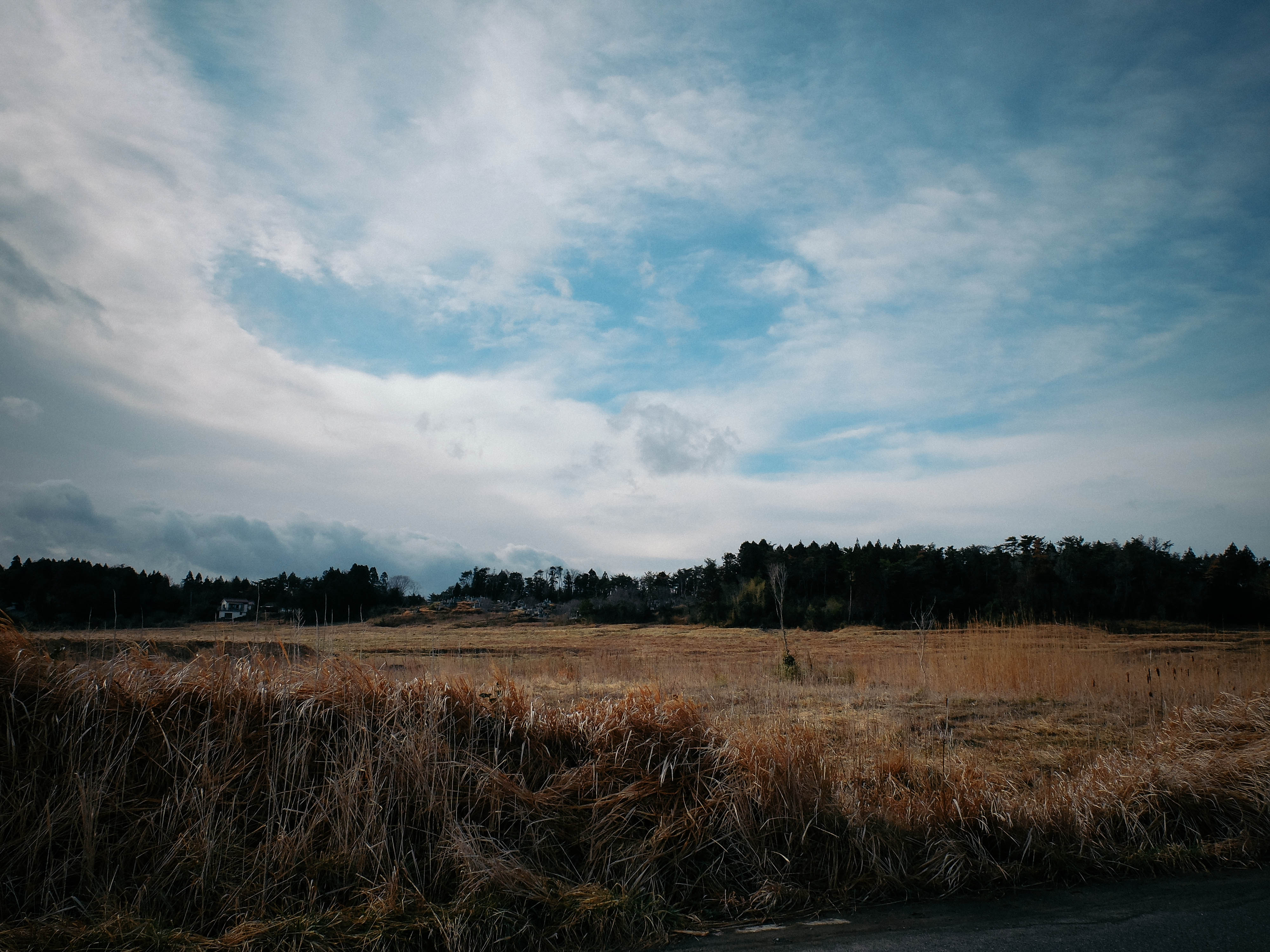
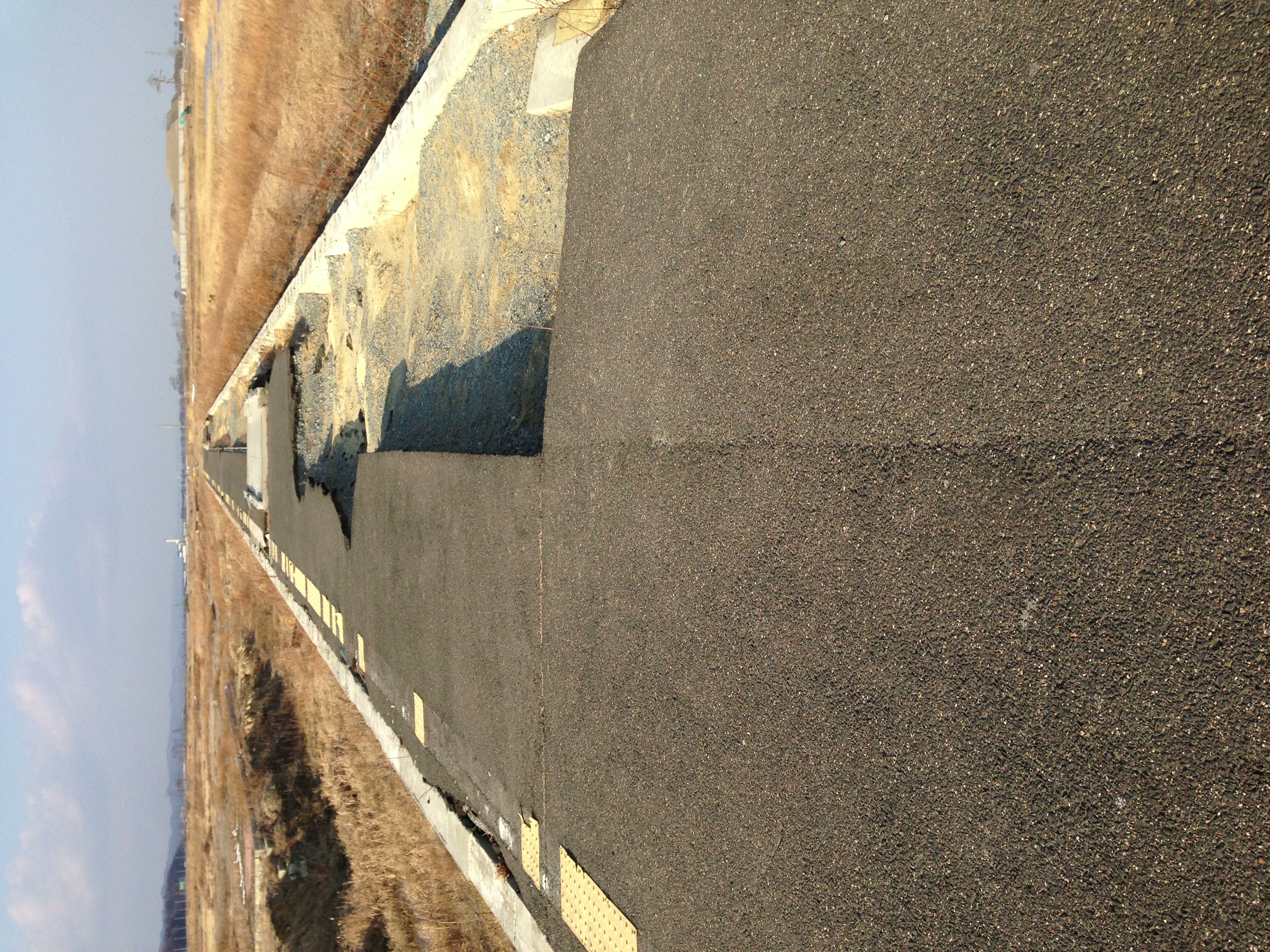
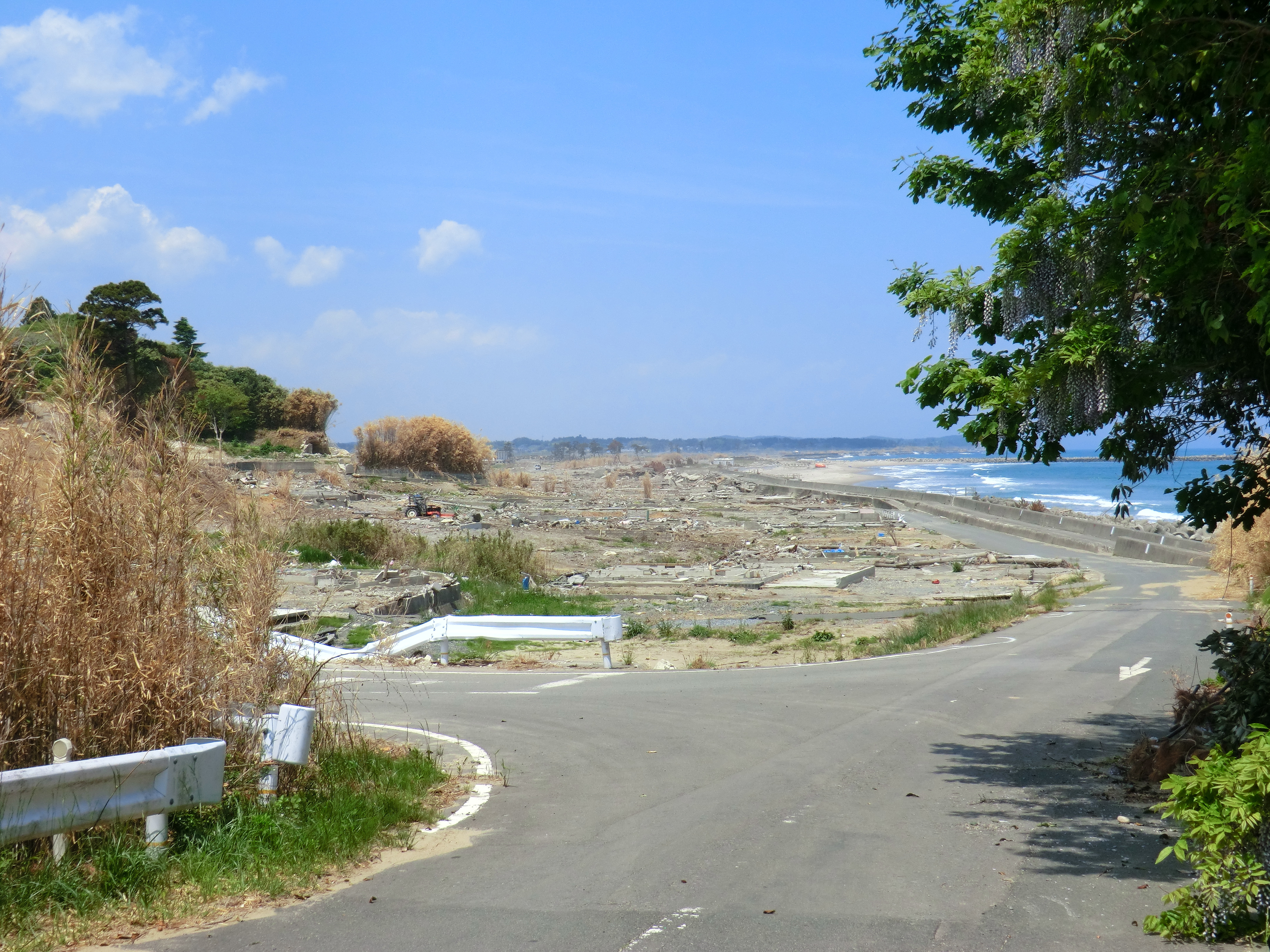
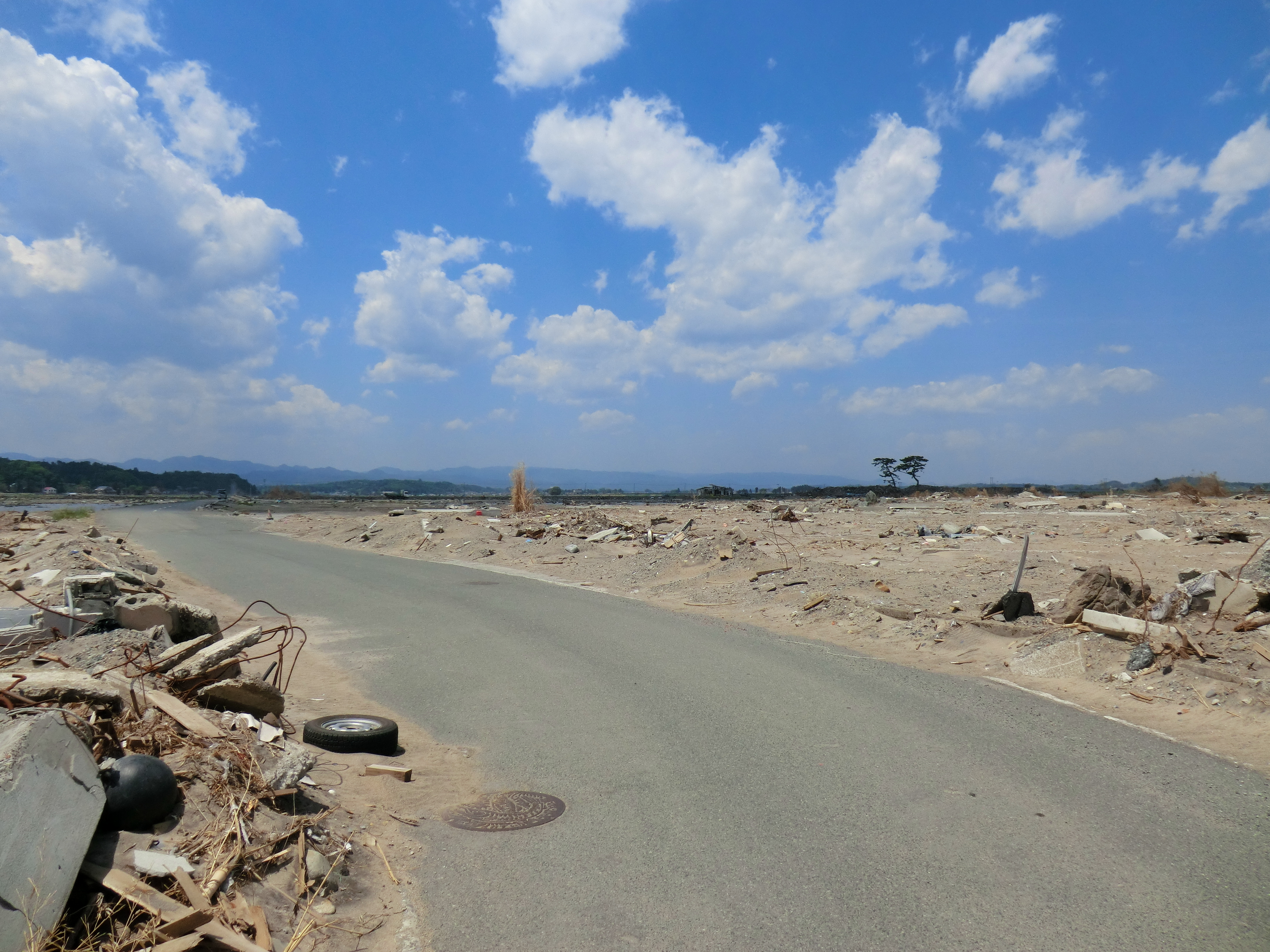
Day 310/365

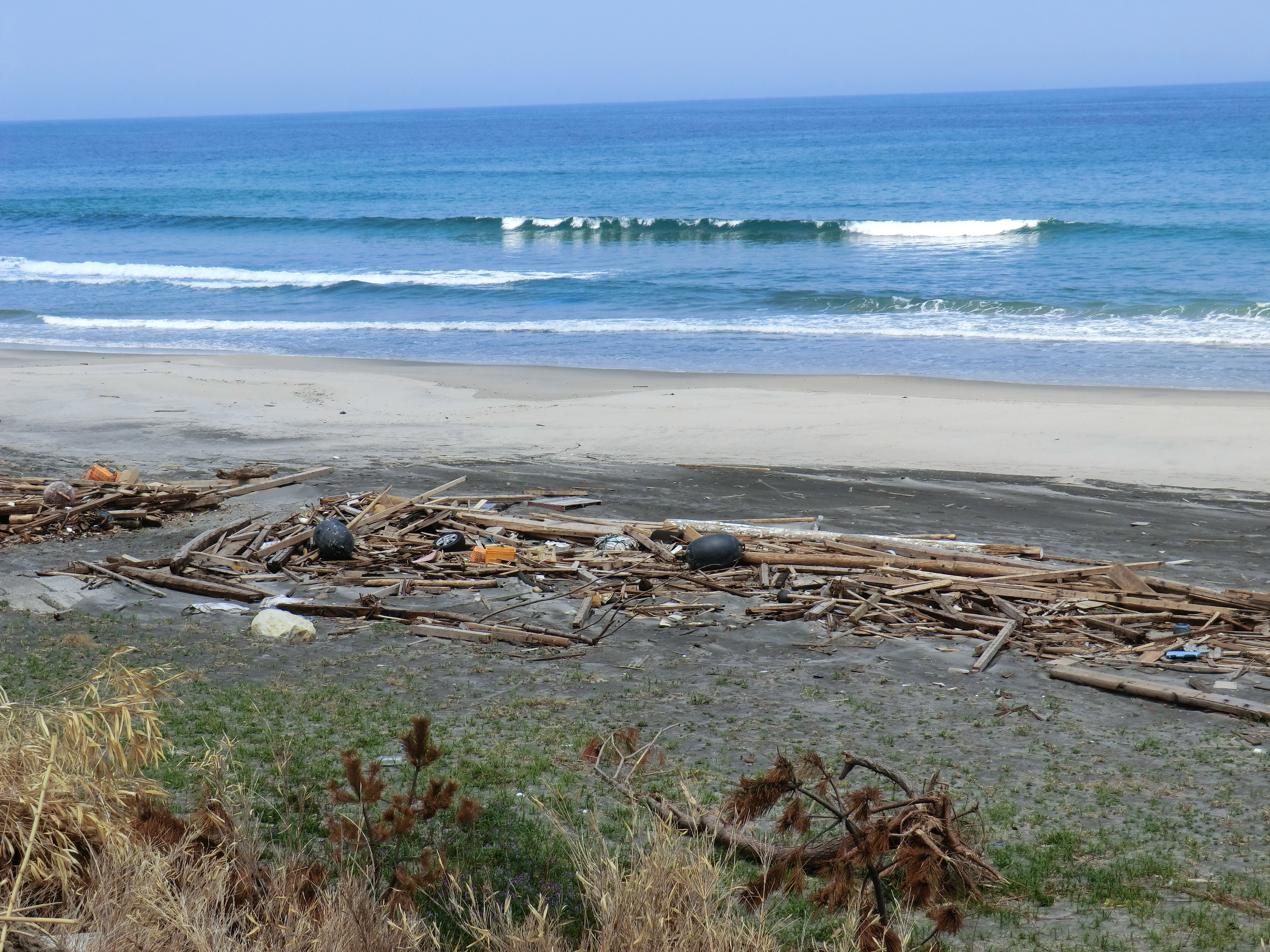
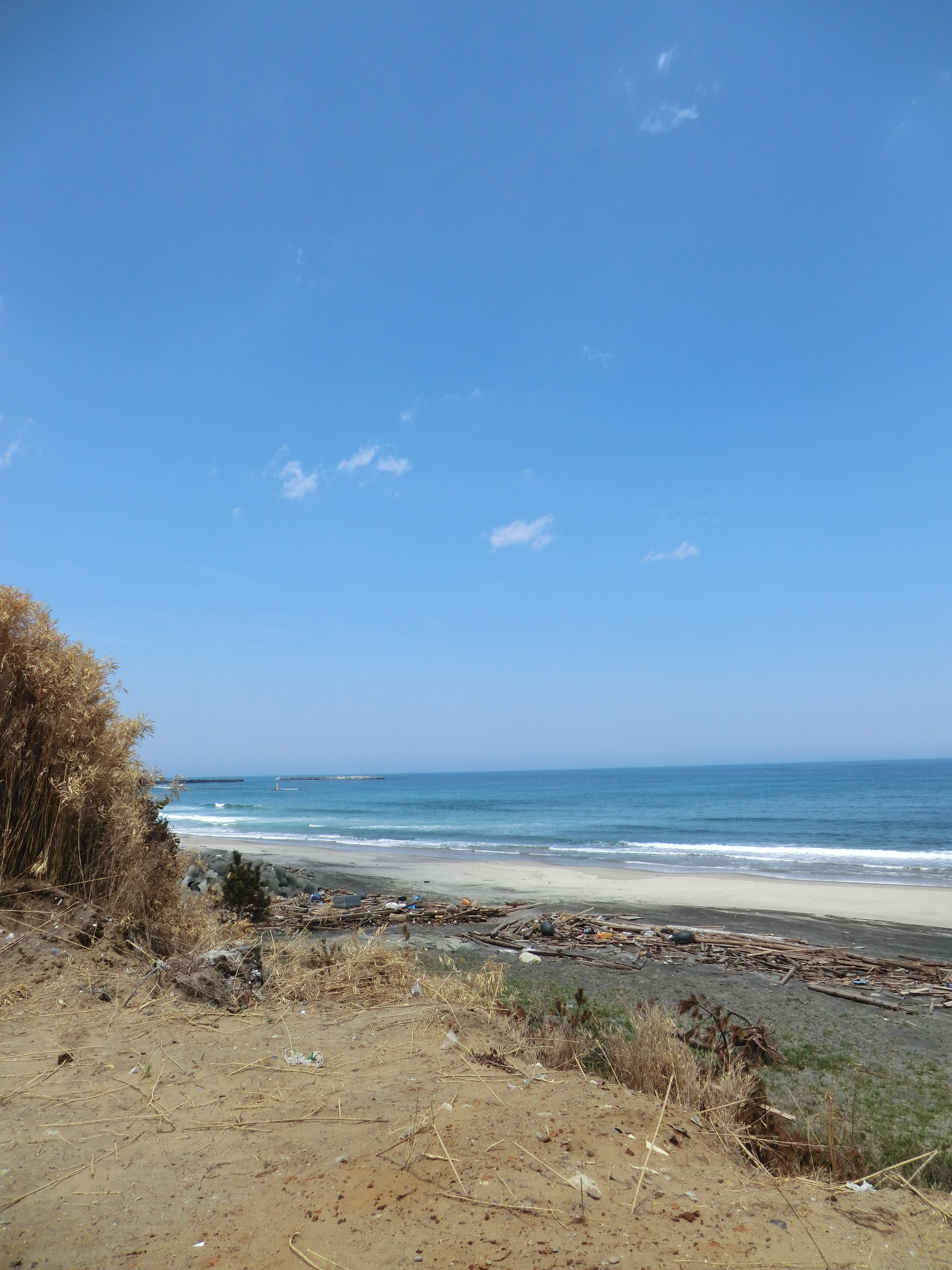
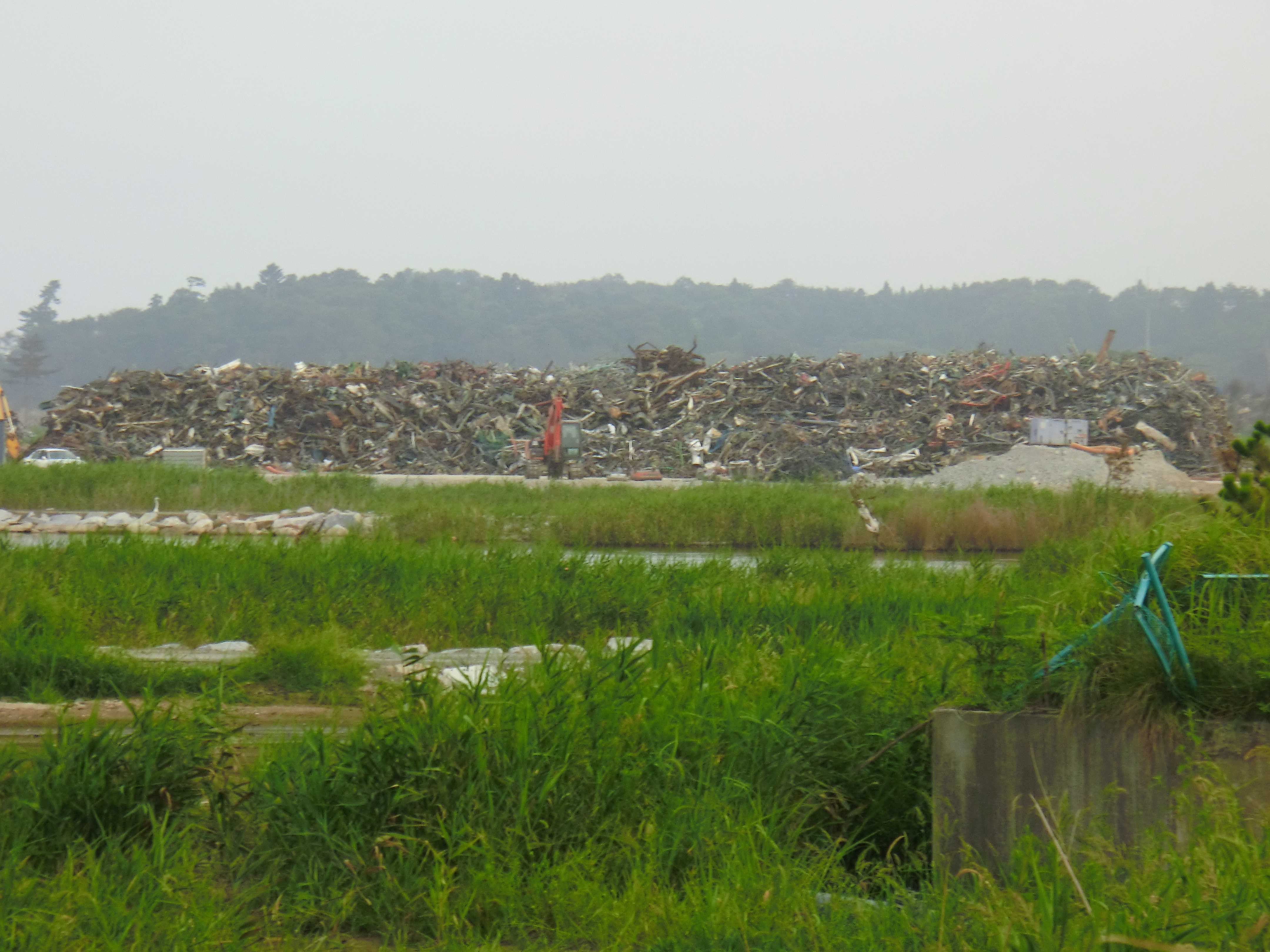
福島県 相馬市の海 震災前

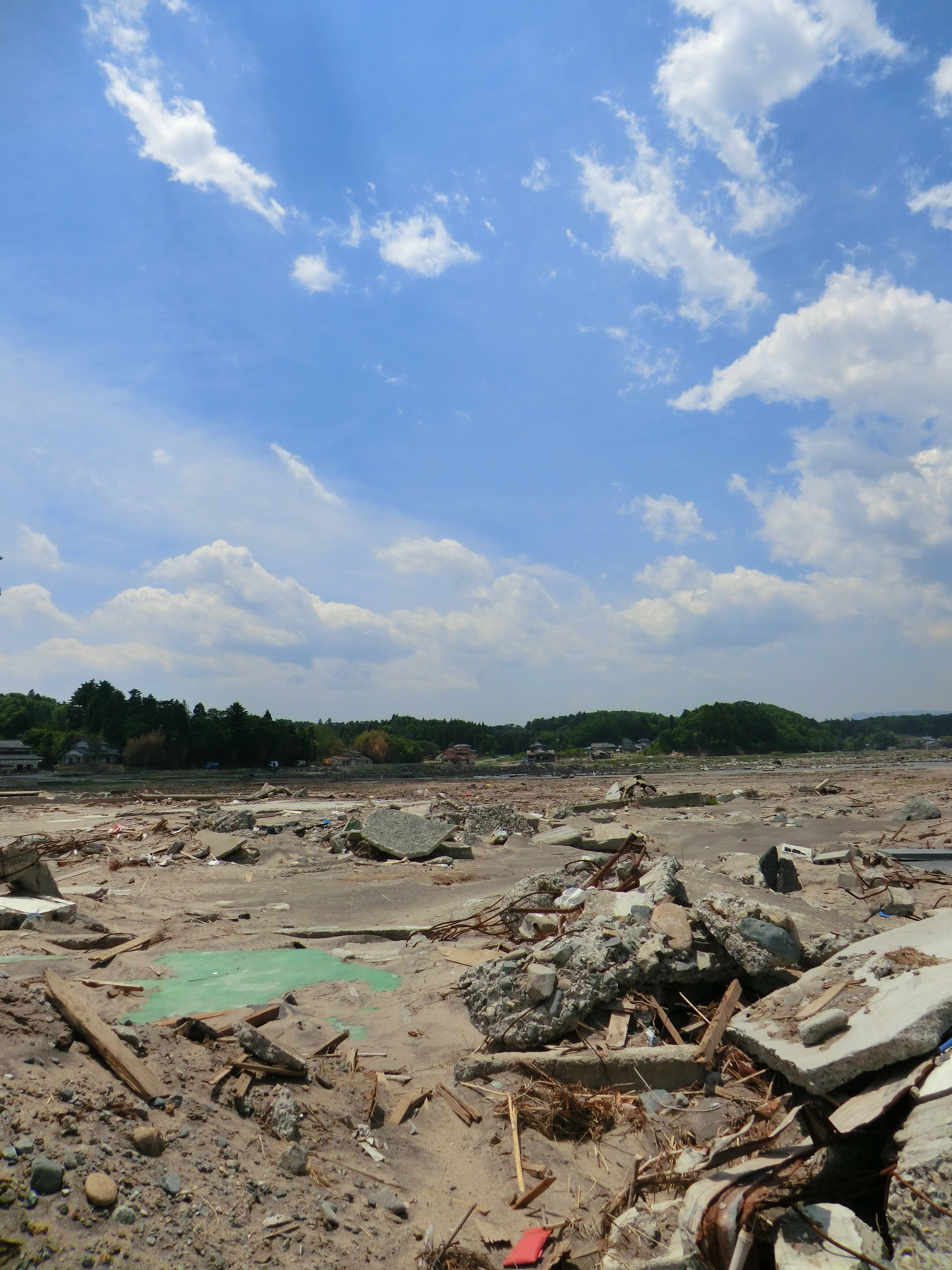
2013/01/13 常磐線・坂元駅@宮城県山元町
05.25 福島県新地町 新地駅 #7
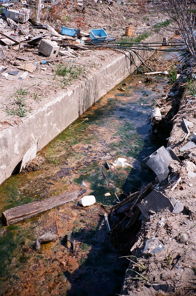
CIMG0970.JPG
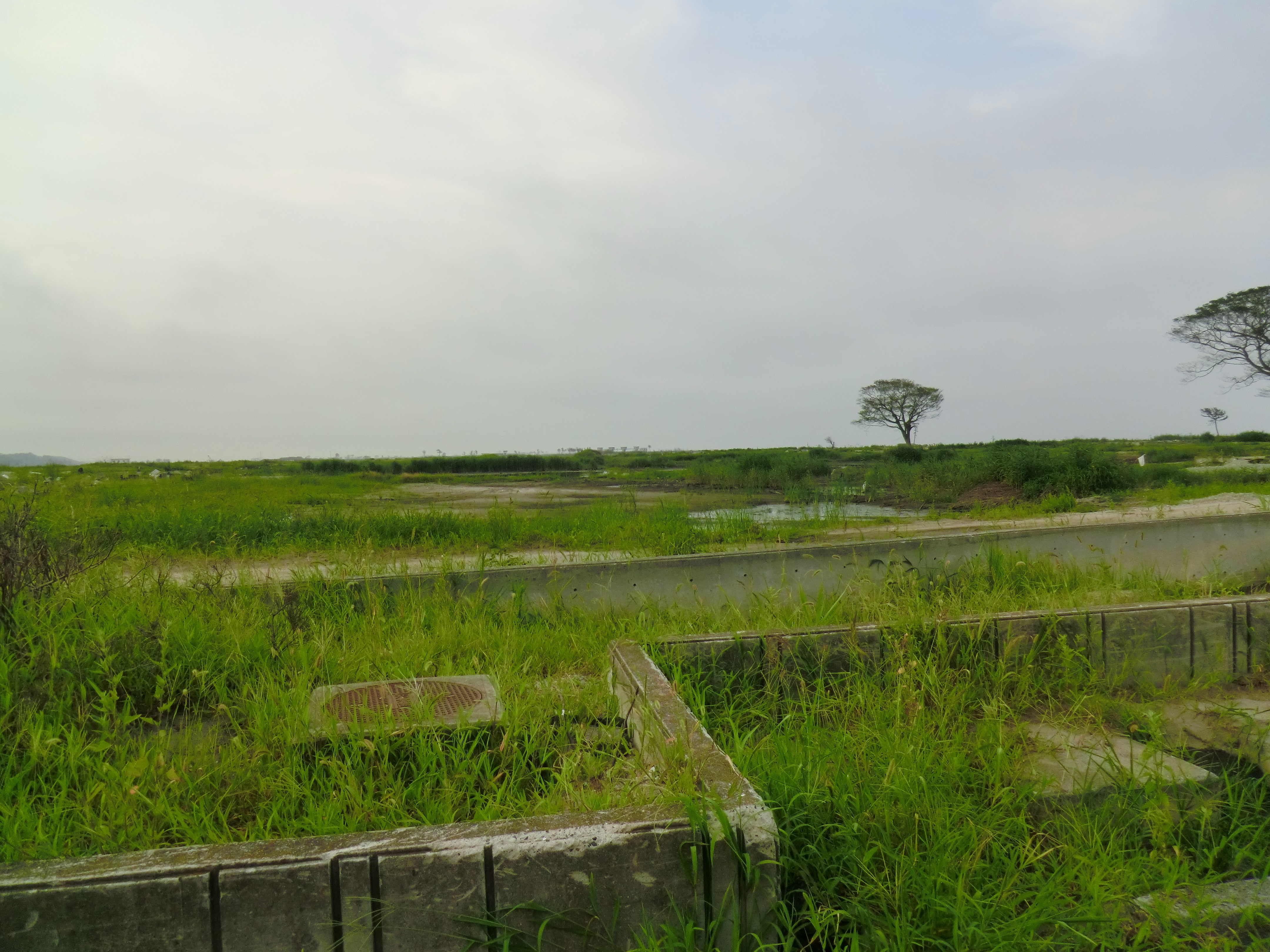
CIMG1185.JPG
2013/01/13 常磐線・坂元駅@宮城県山元町

CIMG0961.JPG
CIMG0972.JPG
CIMG0962.JPG
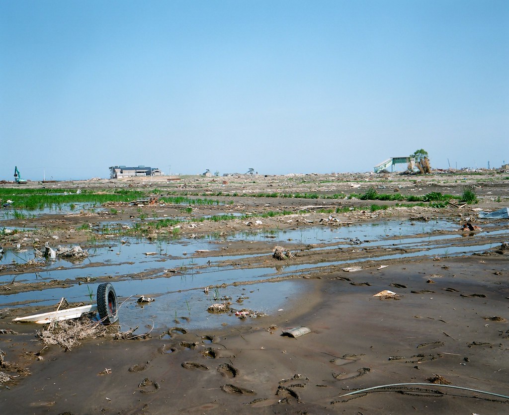
05.25 福島県新地町 新地駅 #1
CIMG0963.JPG
CIMG1197.JPG

CIMG1213.JPG
CIMG0951.JPG
Topographic Map of Soma, Fukushima Prefecture, Japan
Find elevation by address:

Places in Soma, Fukushima Prefecture, Japan:
Hatagashira-37 Hatsuno, Sōma-shi, Fukushima-ken -, Japan
Nakadai- Kashiwazaki, Sōma-shi, Fukushima-ken -, Japan
1 Chome-1-13 Ōnodai, Sōma-shi, Fukushima-ken -, Japan
Inarimae- Tachiya, Sōma-shi, Fukushima-ken -, Japan
1 Chome-13-4 Kitaiibuchi, Sōma-shi, Fukushima-ken -, Japan
Dannokoshi-75 Minamiiibuchi, Sōma-shi, Fukushima-ken -, Japan
Goanzawa- Tsubota, Sōma-shi, Fukushima-ken -, Japan
Dōgasaku-39 Kabaniwa, Sōma-shi, Fukushima-ken -, Japan
Hiroyachi-75 Akagi, Sōma-shi, Fukushima-ken -, Japan
Funabashi- Narita, Sōma-shi, Fukushima-ken -, Japan
Dobu-59 Imada, Sōma-shi, Fukushima-ken -, Japan
Minamizawa-63 Tomizawa, Sōma-shi, Fukushima-ken -, Japan
Iwaanamae--12 Babano, Sōma-shi, Fukushima-ken -, Japan
Asahimae-57 Kuroki, Sōma-shi, Fukushima-ken -, Japan
Shimoshibasaku- Wada, Sōma-shi, Fukushima-ken -, Japan
Kozutsumi- Hodota, Sōma-shi, Fukushima-ken -, Japan
Futatsuike- Ishigami, Sōma-shi, Fukushima-ken -, Japan
3 Chome-3 Kōyō, Sōma-shi, Fukushima-ken -, Japan
Kitakuwabara-37 Yunuki, Sōma-shi, Fukushima-ken -, Japan
Shida-28 Ono, Sōma-shi, Fukushima-ken -, Japan
Places near Soma, Fukushima Prefecture, Japan:
1 Chome-13-4 Kitaiibuchi, Sōma-shi, Fukushima-ken -, Japan
Dannokoshi-75 Minamiiibuchi, Sōma-shi, Fukushima-ken -, Japan
Futatsuike- Ishigami, Sōma-shi, Fukushima-ken -, Japan
Asahimae-57 Kuroki, Sōma-shi, Fukushima-ken -, Japan
Shida-28 Ono, Sōma-shi, Fukushima-ken -, Japan
Shimoshibasaku- Wada, Sōma-shi, Fukushima-ken -, Japan
3 Chome-3 Kōyō, Sōma-shi, Fukushima-ken -, Japan
Kijikui-78-2 Komagamine, Shinchi-machi, Sōma-gun, Fukushima-ken -, Japan
1 Chome-1-13 Ōnodai, Sōma-shi, Fukushima-ken -, Japan
Hatagashira-37 Hatsuno, Sōma-shi, Fukushima-ken -, Japan
Kano- Imaizumi, Shinchi-machi, Sōma-gun, Fukushima-ken -, Japan
Kanai-5 Suginome, Shinchi-machi, Sōma-gun, Fukushima-ken -, Japan
Shimizu- Suginome, Shinchi-machi, Sōma-gun, Fukushima-ken -, Japan
Shinchi
Suijin- Mayumi, Shinchi-machi, Sōma-gun, Fukushima-ken -, Japan
Sakuda-79 Rachikizaki, Shinchi-machi, Sōma-gun, Fukushima-ken -, Japan
Myōhigashi-75-7 Maniwa
Myohigashi Maniwa
Ōkubo-63 Takase, Yamamoto-chō, Watari-gun, Miyagi-ken -, Japan
Yamamoto
Recent Searches:
- Elevation of Corso Fratelli Cairoli, 35, Macerata MC, Italy
- Elevation of Tallevast Rd, Sarasota, FL, USA
- Elevation of 4th St E, Sonoma, CA, USA
- Elevation of Black Hollow Rd, Pennsdale, PA, USA
- Elevation of Oakland Ave, Williamsport, PA, USA
- Elevation of Pedrógão Grande, Portugal
- Elevation of Klee Dr, Martinsburg, WV, USA
- Elevation of Via Roma, Pieranica CR, Italy
- Elevation of Tavkvetili Mountain, Georgia
- Elevation of Hartfords Bluff Cir, Mt Pleasant, SC, USA