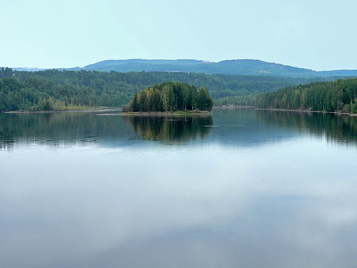
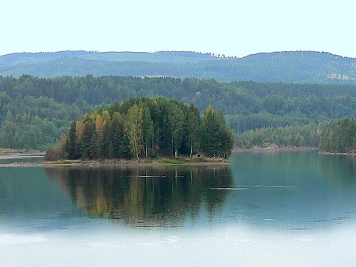
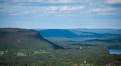
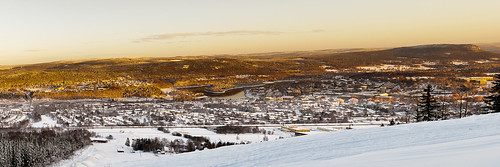
Elevation of Sollefteå, Sweden
Location: Sweden > Västernorrland County > Sollefteå >
Longitude: 17.277135
Latitude: 63.1654065
Elevation: 18m / 59feet
Barometric Pressure: 101KPa
Related Photos:
Topographic Map of Sollefteå, Sweden
Find elevation by address:

Places near Sollefteå, Sweden:
Sollefteå S
Forsmo
BJÖRKNÄSET, 95 Graninge, Sweden
Para
Brandberget
Brandberget, 92 Sollefteå, Sweden
Undrom
Väja
Kalknäs, 95 Undrom, Sweden
Kalknäs
Timrå Nv
Dynäs
Storgatan 77, 52 Nyland, Sweden
Nyland
OFFERSJÖN, 95 Undrom, Sweden
Sundsvall No
Flattom, 16 Ramvik, Sweden
Edlingsgatan
Kramfors
Kramfors
Recent Searches:
- Elevation of Corso Fratelli Cairoli, 35, Macerata MC, Italy
- Elevation of Tallevast Rd, Sarasota, FL, USA
- Elevation of 4th St E, Sonoma, CA, USA
- Elevation of Black Hollow Rd, Pennsdale, PA, USA
- Elevation of Oakland Ave, Williamsport, PA, USA
- Elevation of Pedrógão Grande, Portugal
- Elevation of Klee Dr, Martinsburg, WV, USA
- Elevation of Via Roma, Pieranica CR, Italy
- Elevation of Tavkvetili Mountain, Georgia
- Elevation of Hartfords Bluff Cir, Mt Pleasant, SC, USA
