Elevation of Solitude Way, Covington, LA, USA
Location: United States > Louisiana > St. Tammany Parish > > Covington >
Longitude: -90.156966
Latitude: 30.4348503
Elevation: 6m / 20feet
Barometric Pressure: 101KPa
Related Photos:
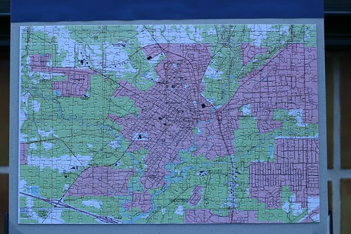
Topographic Map of Solitude Way, Covington, LA, USA
Find elevation by address:

Places near Solitude Way, Covington, LA, USA:
521 Solitude Way
363 Memphis Trace
116 Woods Dr
130 President Madison Dr
80 Bluebird Ln
80 Bluebird Ln
80 Bluebird Ln
80 Bluebird Ln
80 Bluebird Ln
70454 Lake Reelfoot Dr
Lake Reelfoot Drive
Lake Reelfoot Drive
142 Rue Les Bois
142 Rue Les Bois
142 Rue Les Bois
142 Rue Les Bois
142 Rue Les Bois
142 Rue Les Bois
694 Pinnacle Pkwy
378 Del Sol E
Recent Searches:
- Elevation of Corso Fratelli Cairoli, 35, Macerata MC, Italy
- Elevation of Tallevast Rd, Sarasota, FL, USA
- Elevation of 4th St E, Sonoma, CA, USA
- Elevation of Black Hollow Rd, Pennsdale, PA, USA
- Elevation of Oakland Ave, Williamsport, PA, USA
- Elevation of Pedrógão Grande, Portugal
- Elevation of Klee Dr, Martinsburg, WV, USA
- Elevation of Via Roma, Pieranica CR, Italy
- Elevation of Tavkvetili Mountain, Georgia
- Elevation of Hartfords Bluff Cir, Mt Pleasant, SC, USA

