Elevation of Snowmass Road, Snowmass Rd, Angel Fire, NM, USA

Location: United States > New Mexico > Colfax County > Angel Fire >

Longitude: -105.27935

Latitude: 36.385831

Elevation: -10000m / -32808feet

Barometric Pressure: 295KPa

Elevation Map:

elevation map of Snowmass Road, Snowmass Rd, Angel Fire, NM, USA

Satellite Map:

Satellite map of Snowmass Road, Snowmass Rd, Angel Fire, NM, USA

Related Photos:

View of the Chapel
A View from the balcony
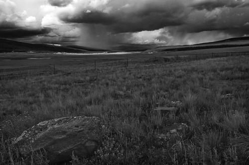
bw landscape wideangle nd cokin 1024mm hollumsphotographynikond90 filterhollumsphotographynikond90
Highway to Black Lakes B&W
geotagged airplanewindow geo:lon=105448794 geo:lat=36349382
CIMG1104.JPG
hollumsphotographynikond90 blacklakes newmexico wideangle 1024mm cokin filter graduatednd nd rock mountians cloudshollumsphotographynikond90
BlackLake Down Pour B&W
newmexico unitedstates scouts philmont cimarron
Panorama view from Black Mountain summit
newmexico carsonnationalforest
Carson National Forest, New Mexico
geotagged geo:lat=363720166666667 geo:lon=105385822222222
Enchanted Moon Campground at Valle Escondido entrance.
newmexico angelfire
View from our deck
mountain newmexico lift angelfire iphone 2011 chileexpress
View from the lift
geotagged geo:lat=364229777777778 geo:lon=105323313888889
Elliot Barker is a great hiking and snow shoeing area.
instagramapp square squareformat iphoneography uploaded:by=instagram
Another amazing view shot coming down from Mt. Phillips! I could have stayed and watched this view all day!
landscape newmexico taos angelfire unitedstates us
20111015 Taos 046.jpg
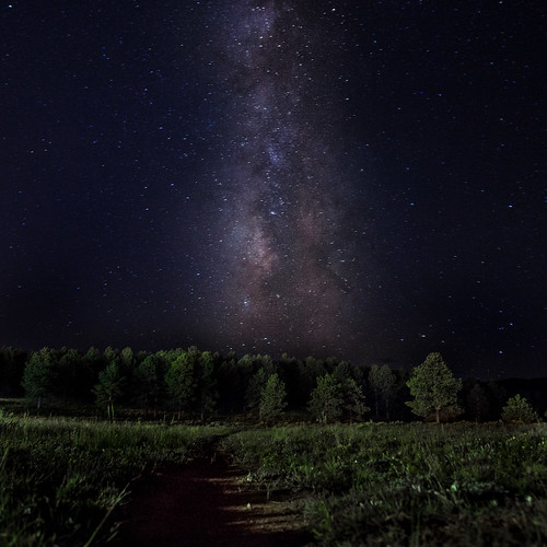
sky mountain tree fall nature night stars landscape outdoors mountainbike location aspen angelfire
Path to the Stars
landscape newmexico taos angelfire unitedstates us
20111015 Taos 045.jpg
landscape ussouthwest newmexico taos angelfire unitedstates us
20111015 Taos 045.jpg
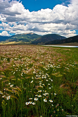
flowers eaglenestlake lake eaglenest mountains sangredecristomountains newmexico plants valley rockymountains unitedstates america usa
Flowers near Eagle Nest Lake - New Mexico
new winter usa snow ski southwest mexico nest ghost resort eagles angelfire riders
Angelfire Ski Resort New Mexico Snow Winter IMG_3499
newmexico geotagged unitedstates perryvillehistorical 825kmtoperryvillehistoricalinnewmexicounitedstates geo:lat=36479863 geo:lon=105167383
Philmont 2009 1361
newmexico reflections water sangredecristomountains rockymountains mountains unitedstates america usa
Eagle Nest Lake
new winter snow storm newmexico day years nm angelfire eaglenest
Several Days Later
d750 landscape mountain nature newmexico nikon rockymountains sangredecristomountains sky tree
Standing in the Valley
usa newmexico unitedstates
1561 - Enchanted Circle
apachesprings philmont scouts trailpix troop202 sunset cimarron newmexico unitedstates
Storm Apache Springs
newmexico geotagged unitedstates perryvillehistorical 806kmtoperryvillehistoricalinnewmexicounitedstates geo:lat=36472725 geo:lon=105183791
Philmont 2009 1282
Angle Fire, NM
newmexico geotagged unitedstates perryvillehistorical 806kmtoperryvillehistoricalinnewmexicounitedstates geo:lat=36472725 geo:lon=105183791
Philmont 2009 1288
newmexico geotagged unitedstates perryvillehistorical 806kmtoperryvillehistoricalinnewmexicounitedstates geo:lat=36472725 geo:lon=105183791
Philmont 2009 1268
newmexico geotagged unitedstates perryvillehistorical 806kmtoperryvillehistoricalinnewmexicounitedstates geo:lat=36472725 geo:lon=105183791
Philmont 2009 1270
newmexico geotagged unitedstates perryvillehistorical 806kmtoperryvillehistoricalinnewmexicounitedstates geo:lat=36472725 geo:lon=105183791
Philmont 2009 1266
newmexico geotagged unitedstates perryvillehistorical 806kmtoperryvillehistoricalinnewmexicounitedstates geo:lat=36472725 geo:lon=105183791
Philmont 2009 1267
leicam newmexico m246 leica thomashalfmann monochrom consiglieretom blackandwhite blackwhite bw 2016 fbthomashalfmannphotographer
curve against landscape
newmexico geotagged unitedstates perryvillehistorical 806kmtoperryvillehistoricalinnewmexicounitedstates geo:lat=36472725 geo:lon=105183791
Philmont 2009 1269