Elevation of Snow Shoe Township, PA, USA
Location: United States > Pennsylvania > Centre County >
Longitude: -77.905318
Latitude: 41.0629674
Elevation: 457m / 1499feet
Barometric Pressure: 96KPa
Elevation Map:
Satellite Map:
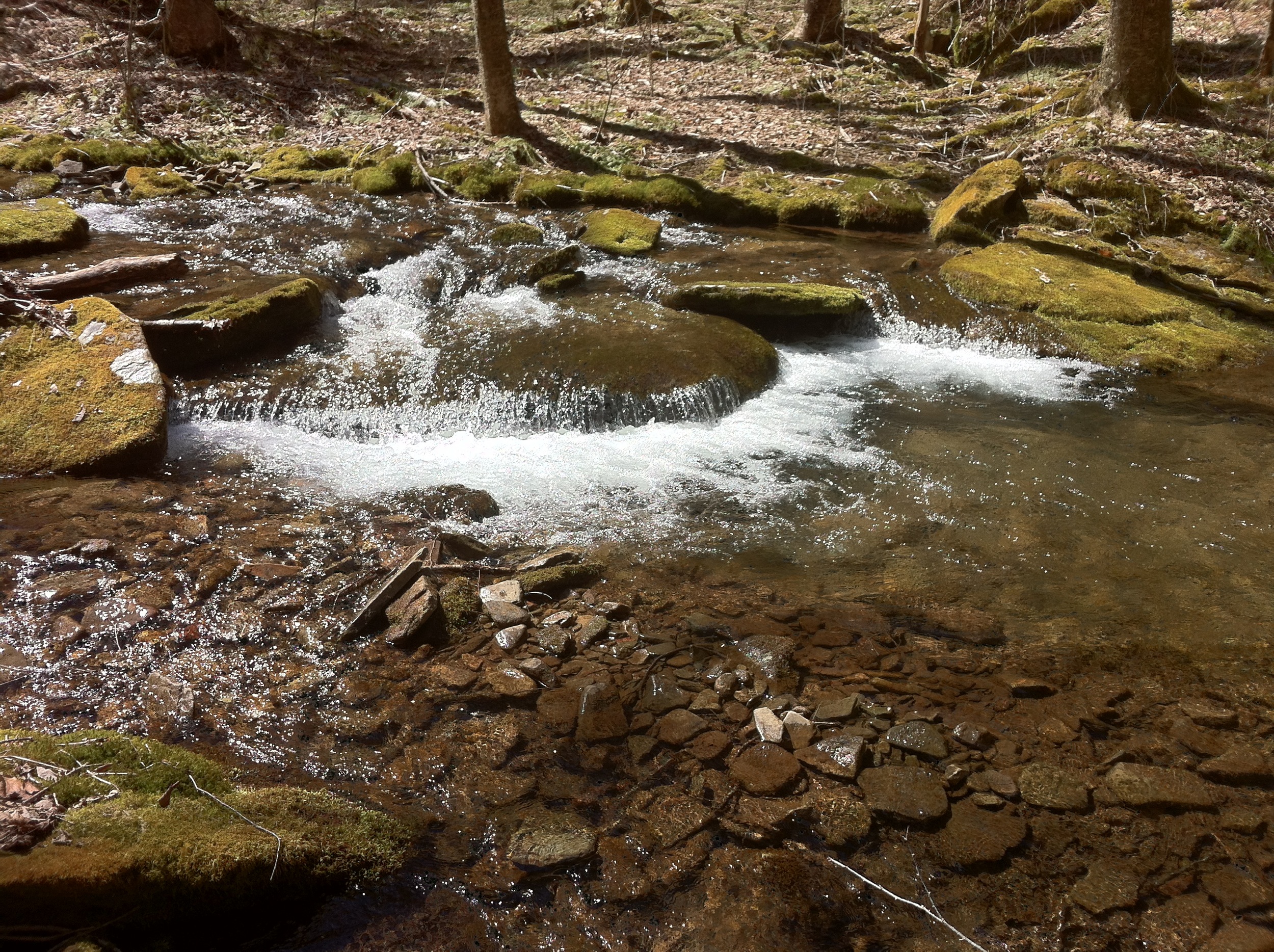
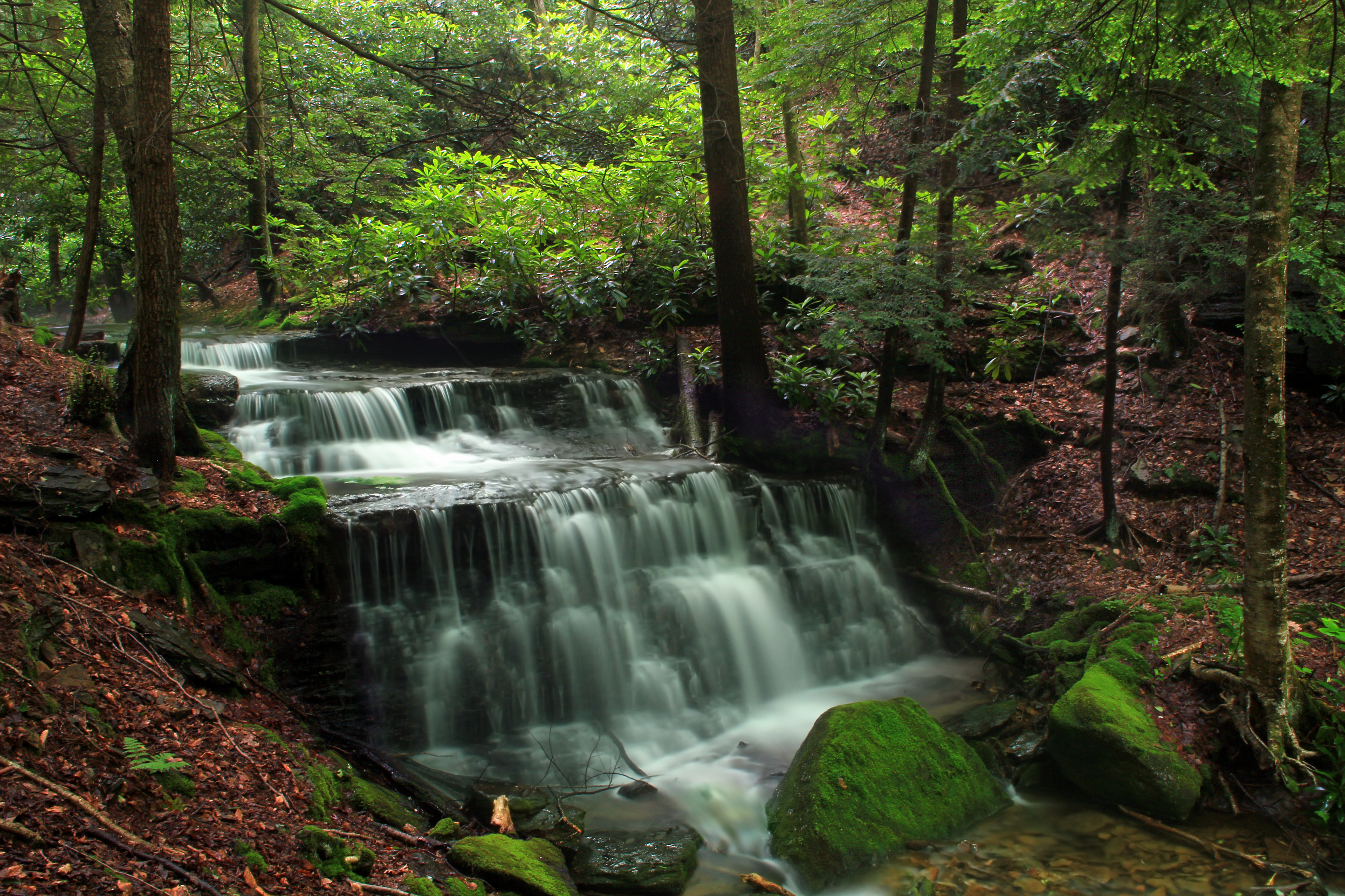
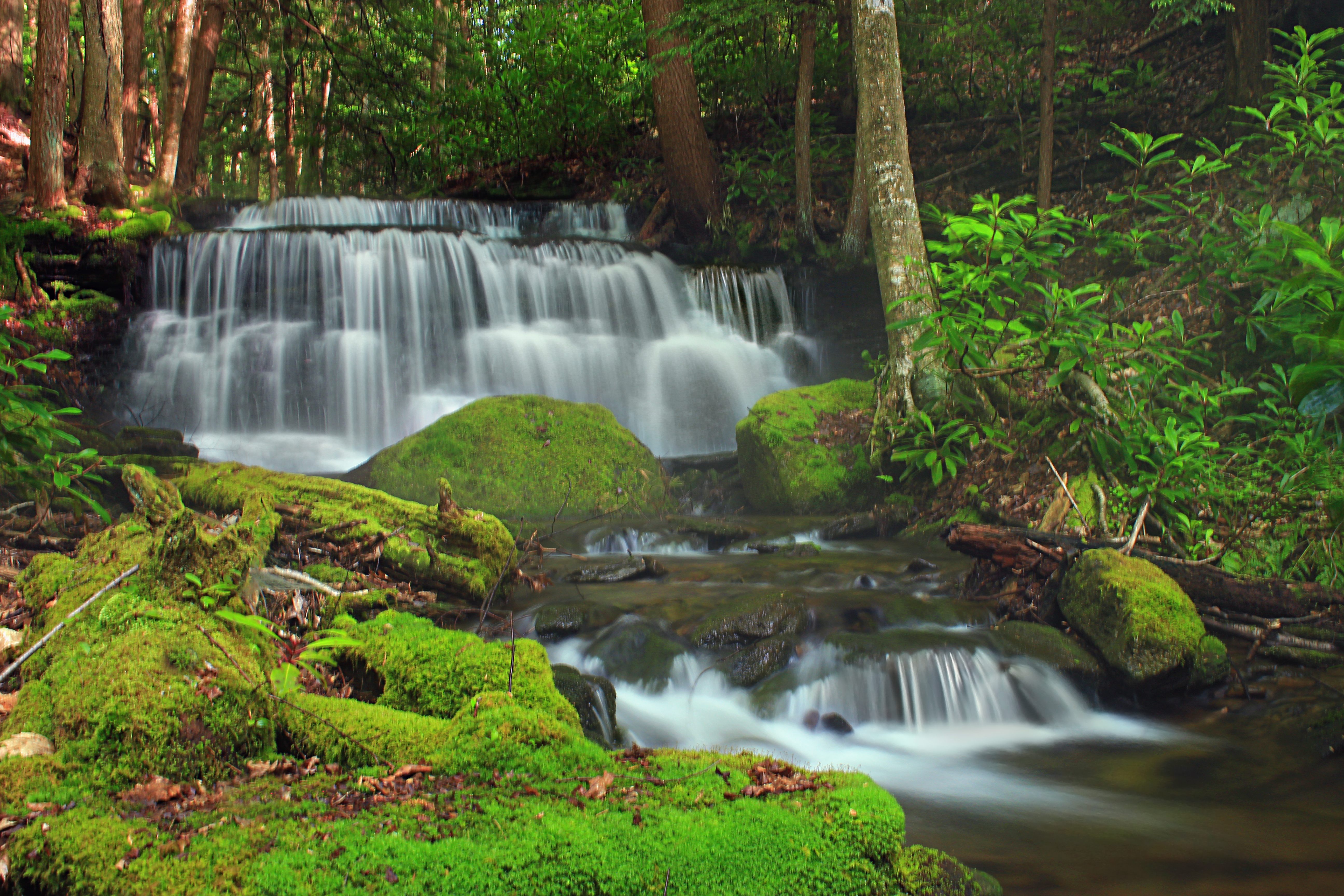
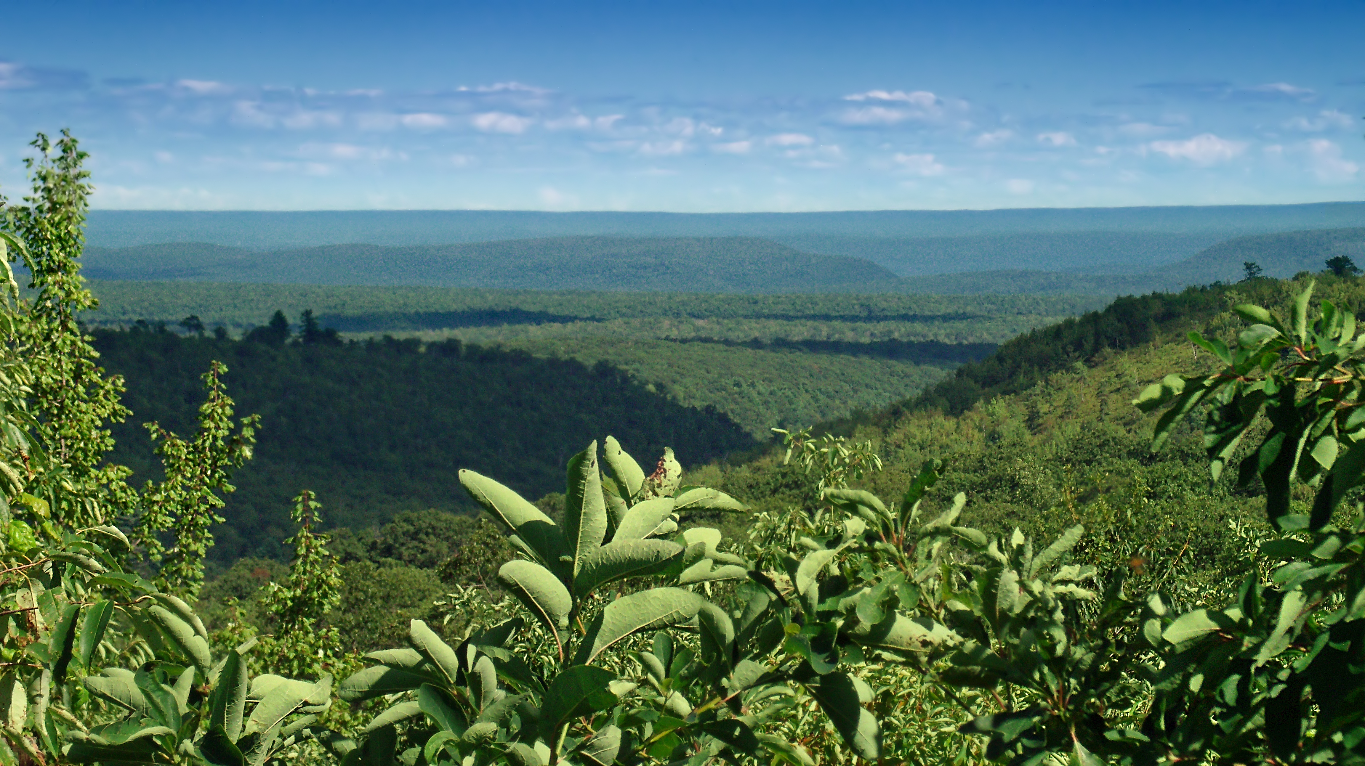
Related Photos:
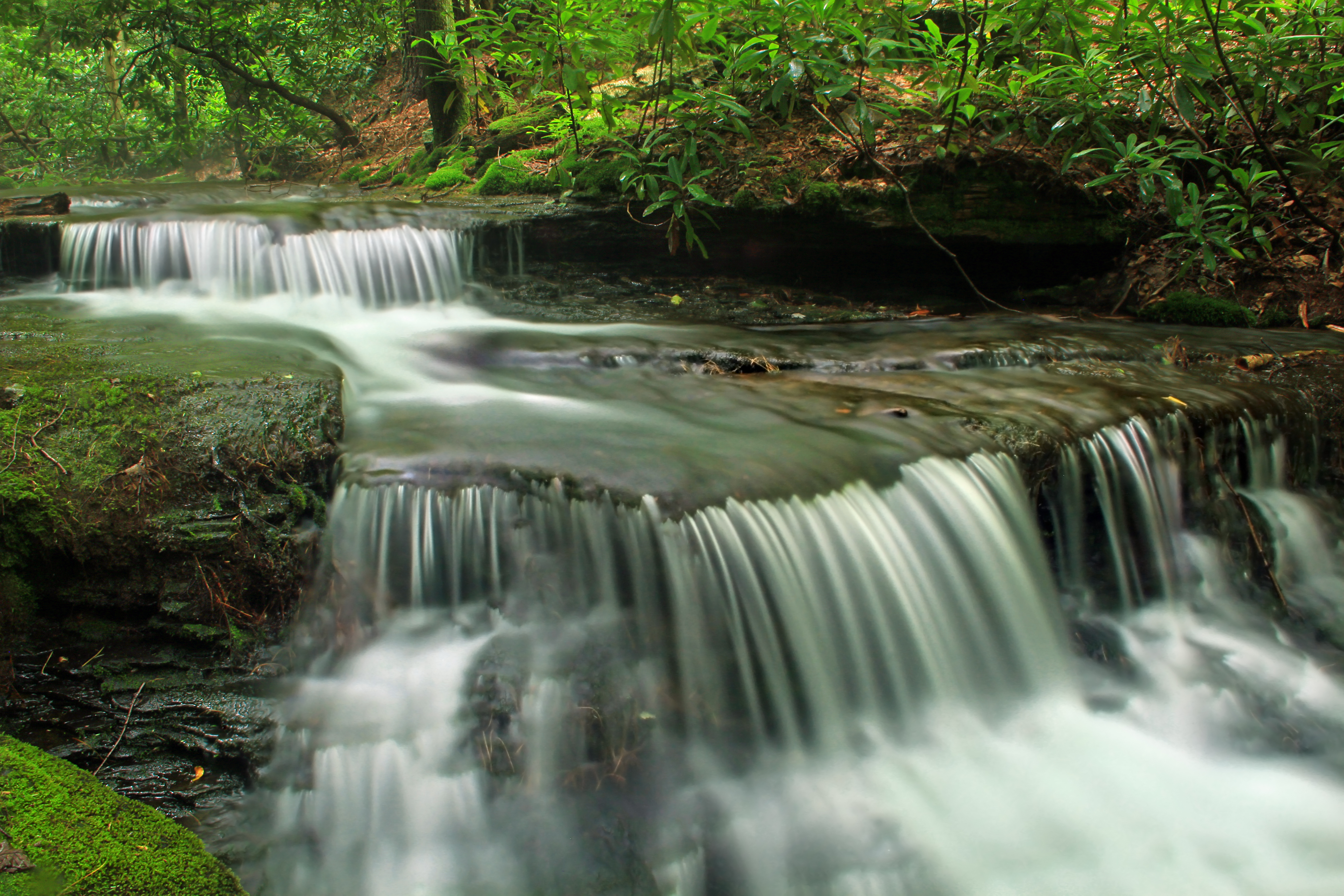
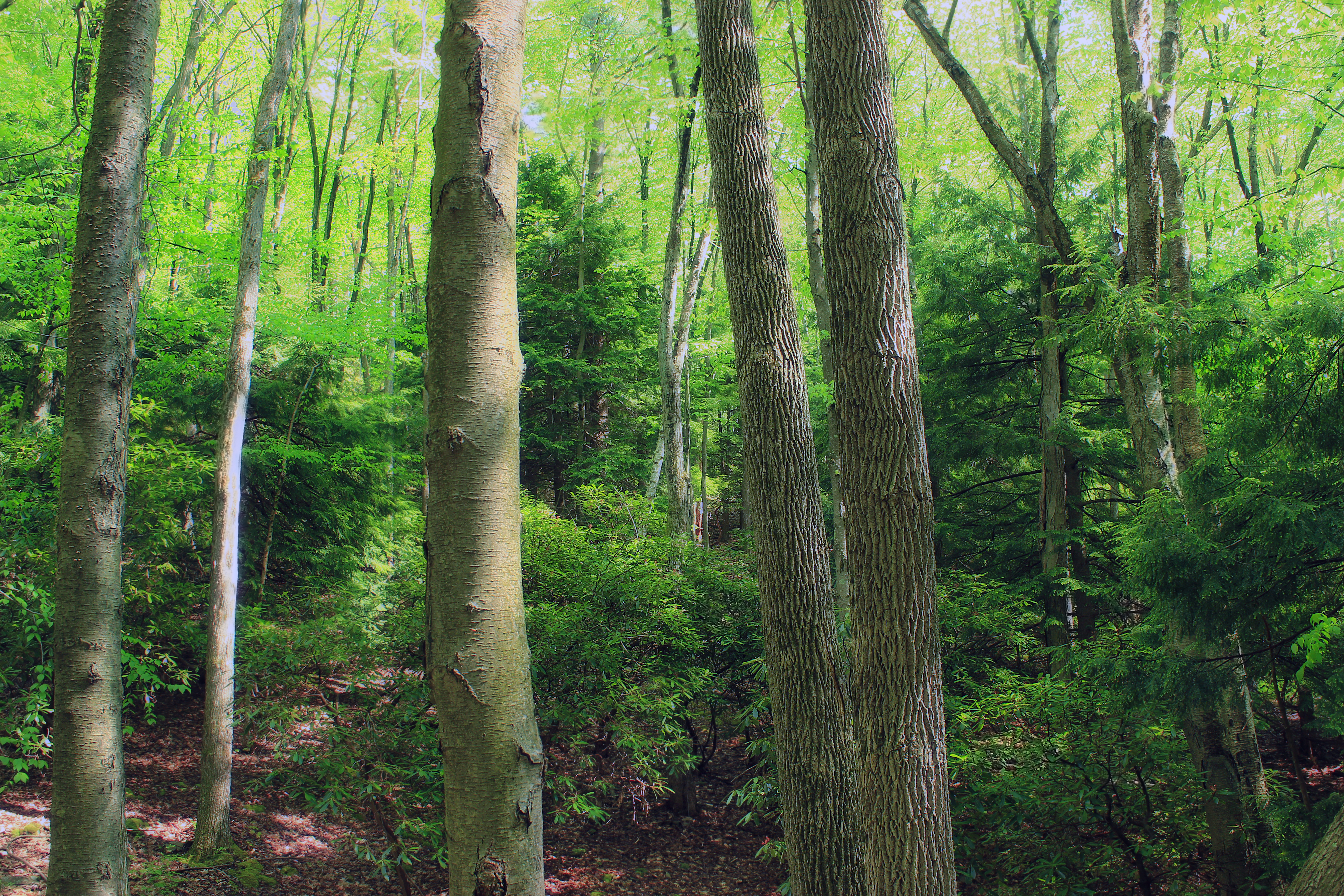
Yost Run Falls (Upper Drop)
Yost Run Falls (Entire Drop)

Fern Meadows
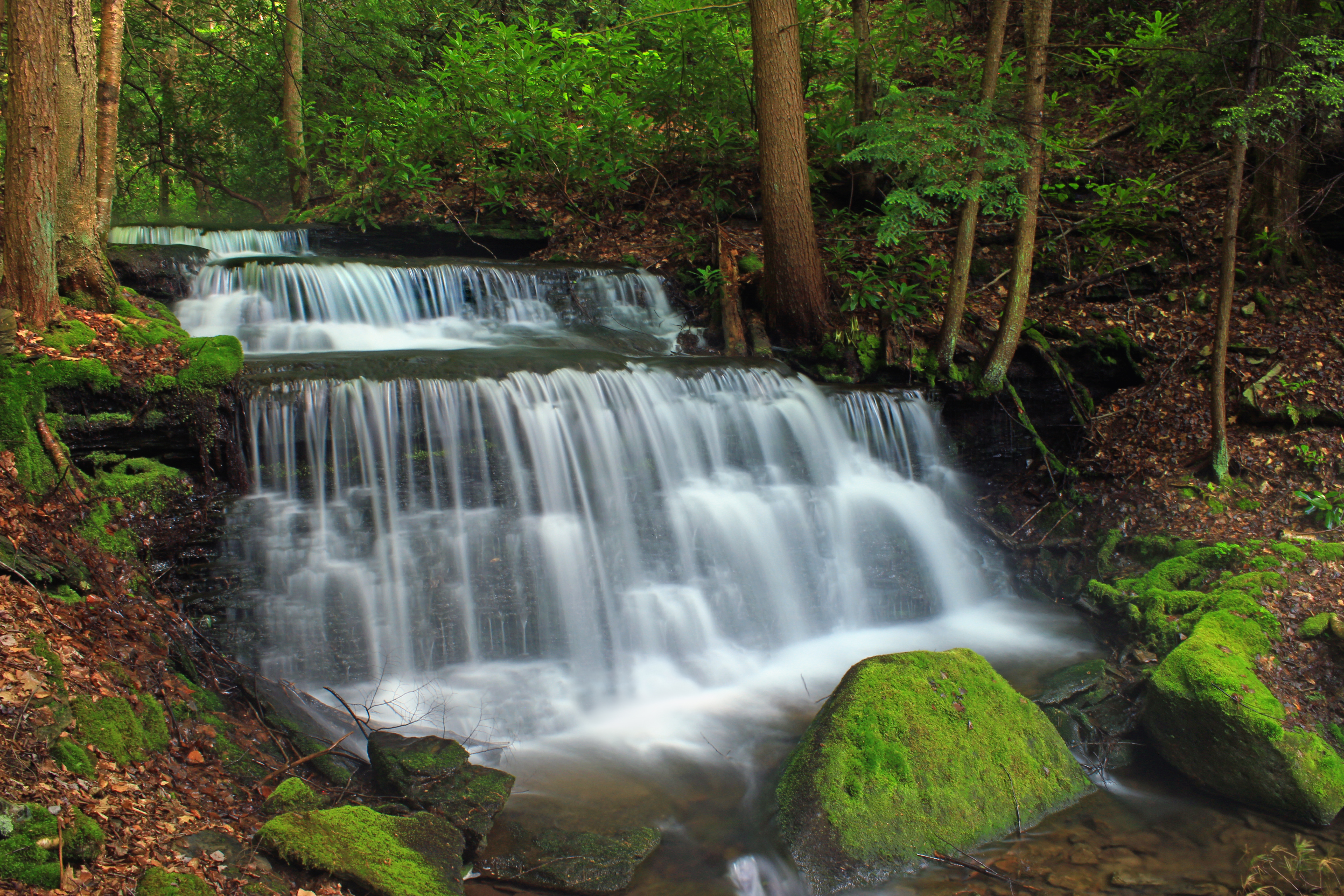
Yost Run Loop (Revisited) (2)

Changing my perspective
Beech Creek Orviston 1

2011-05-06 14.56.42

85/180 6/12/11 Bike 180
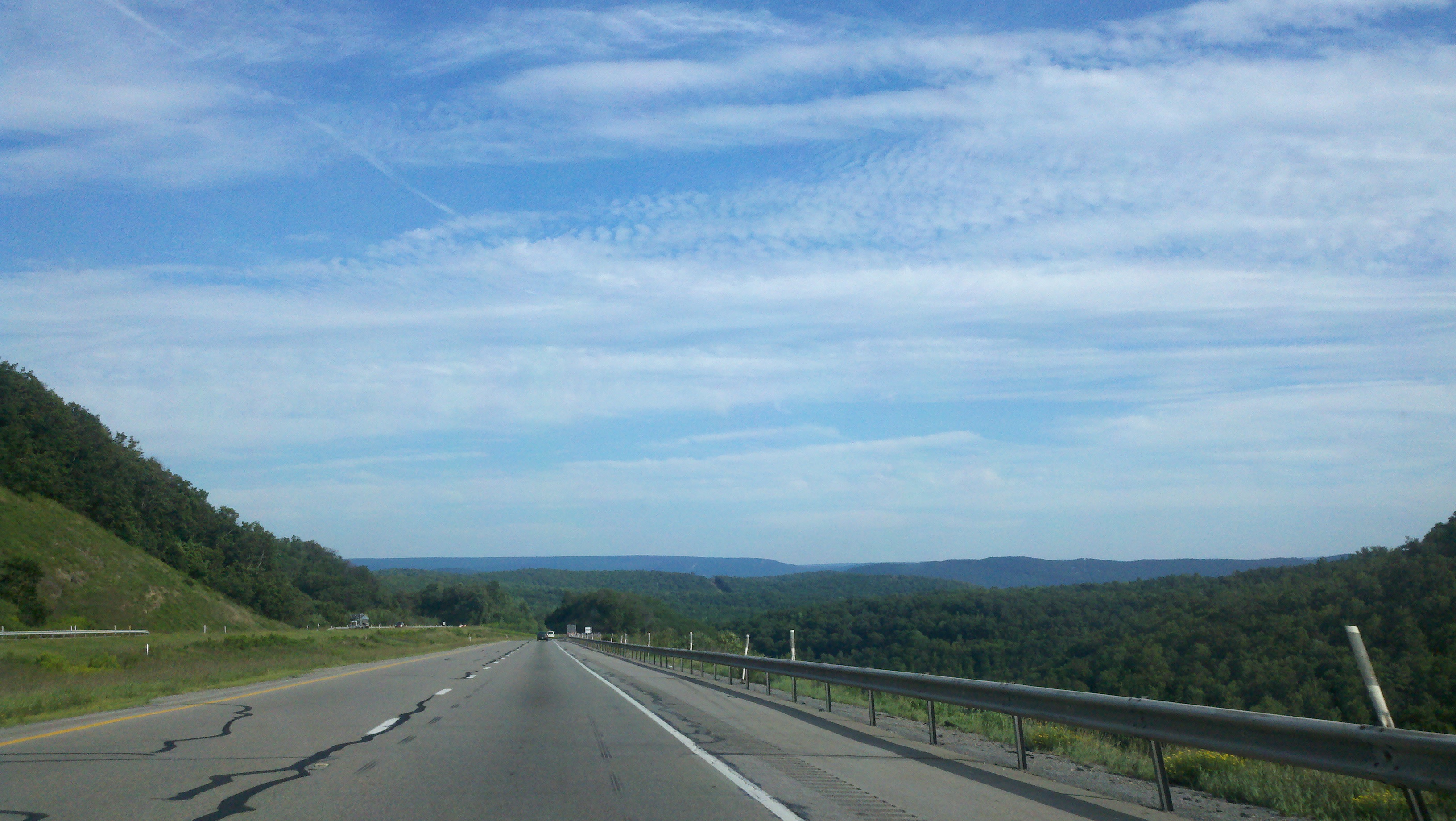
Pretty Views From I-80
2011-05-08 09.14.54
2011-05-08 09.12.57
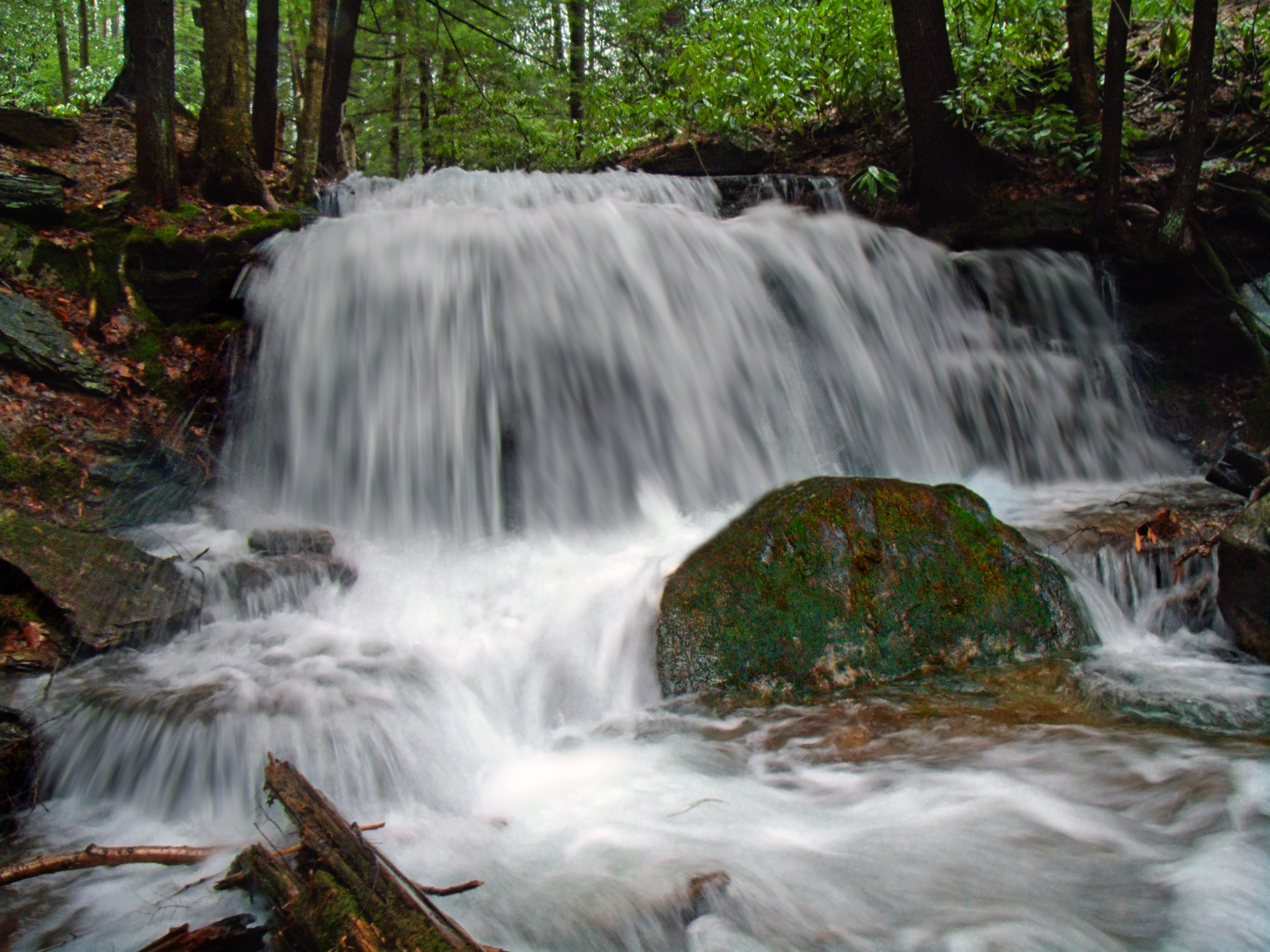
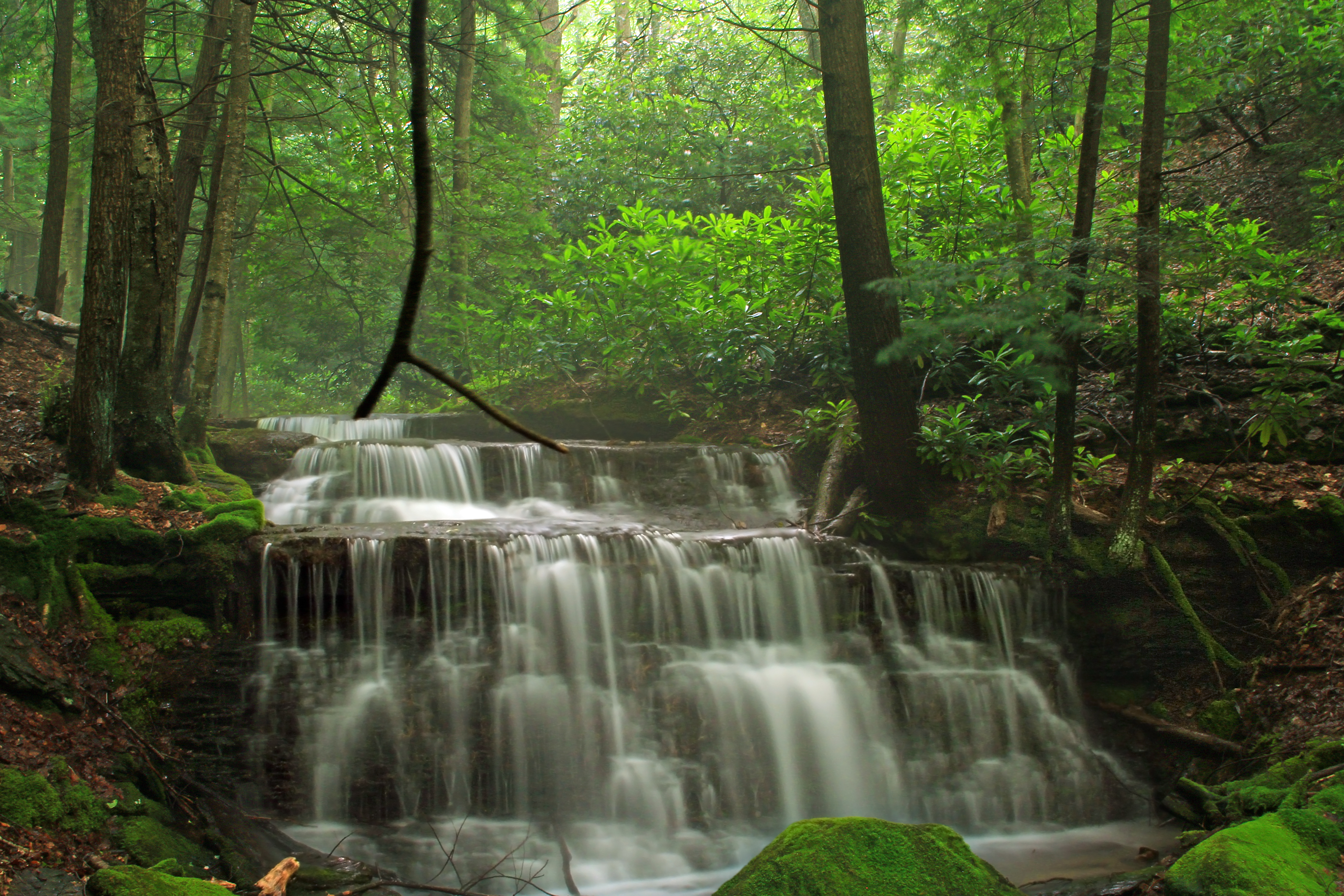
Yost Run Falls
Camera Roll-978
Yost Run Falls (Revisited)

Yost Run Loop (Revisited) (15)
Yost Run Loop (Revisited) (1)
Two Rock Run Vista

Yost Run Loop (Revisited) (3)
Yost Run Loop (Revisited) (16)

Orviston Rd
Topographic Map of Snow Shoe Township, PA, USA
Find elevation by address:

Places in Snow Shoe Township, PA, USA:
Places near Snow Shoe Township, PA, USA:
Fedex Freight
Snow Shoe
110 Pepper Rd
Boggs Township
Moshannon
Runville Rd, Bellefonte, PA, USA
1013 Runville Rd
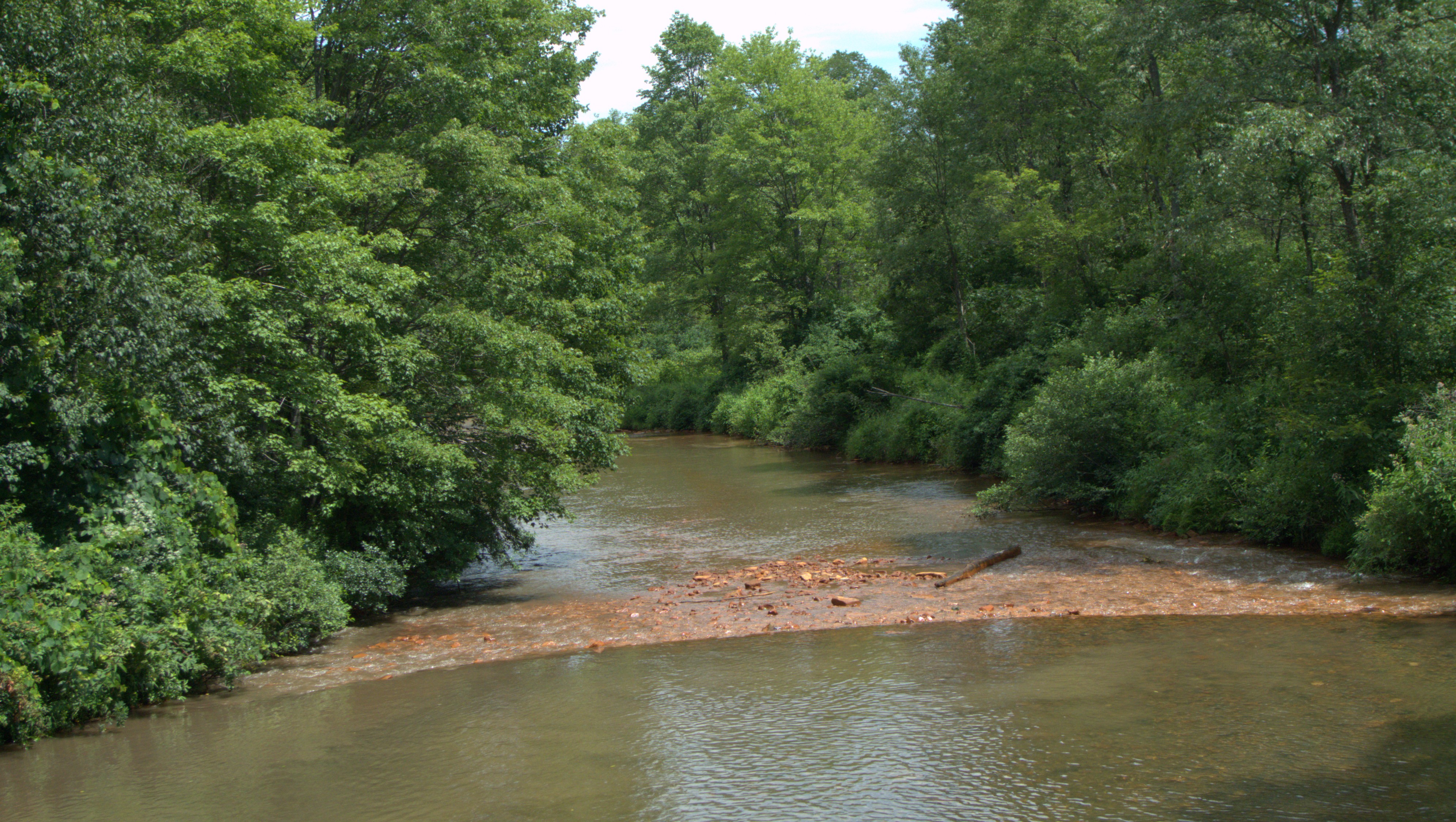
West Branch Susquehanna River
Curtin Township
125 Somerset Ln
Hanslovan Ln, Pottersdale, PA, USA
1575 Orviston Mountain Rd
216 Valley View Rd
480 Sunnyside Blvd
Pottersdale
Pleasantview Blvd, Bellefonte, PA, USA
Peale Rd, Morrisdale, PA, USA
West Keating Township
Bellefonte
358 E Burrows St
Recent Searches:
- Elevation of Corso Fratelli Cairoli, 35, Macerata MC, Italy
- Elevation of Tallevast Rd, Sarasota, FL, USA
- Elevation of 4th St E, Sonoma, CA, USA
- Elevation of Black Hollow Rd, Pennsdale, PA, USA
- Elevation of Oakland Ave, Williamsport, PA, USA
- Elevation of Pedrógão Grande, Portugal
- Elevation of Klee Dr, Martinsburg, WV, USA
- Elevation of Via Roma, Pieranica CR, Italy
- Elevation of Tavkvetili Mountain, Georgia
- Elevation of Hartfords Bluff Cir, Mt Pleasant, SC, USA