Elevation of Sliven, Bulgaria
Location: Bulgaria > Sliven Province >
Longitude: 26.3228569
Latitude: 42.6816761
Elevation: 263m / 863feet
Barometric Pressure: 98KPa
Elevation Map:
Satellite Map:
Related Photos:
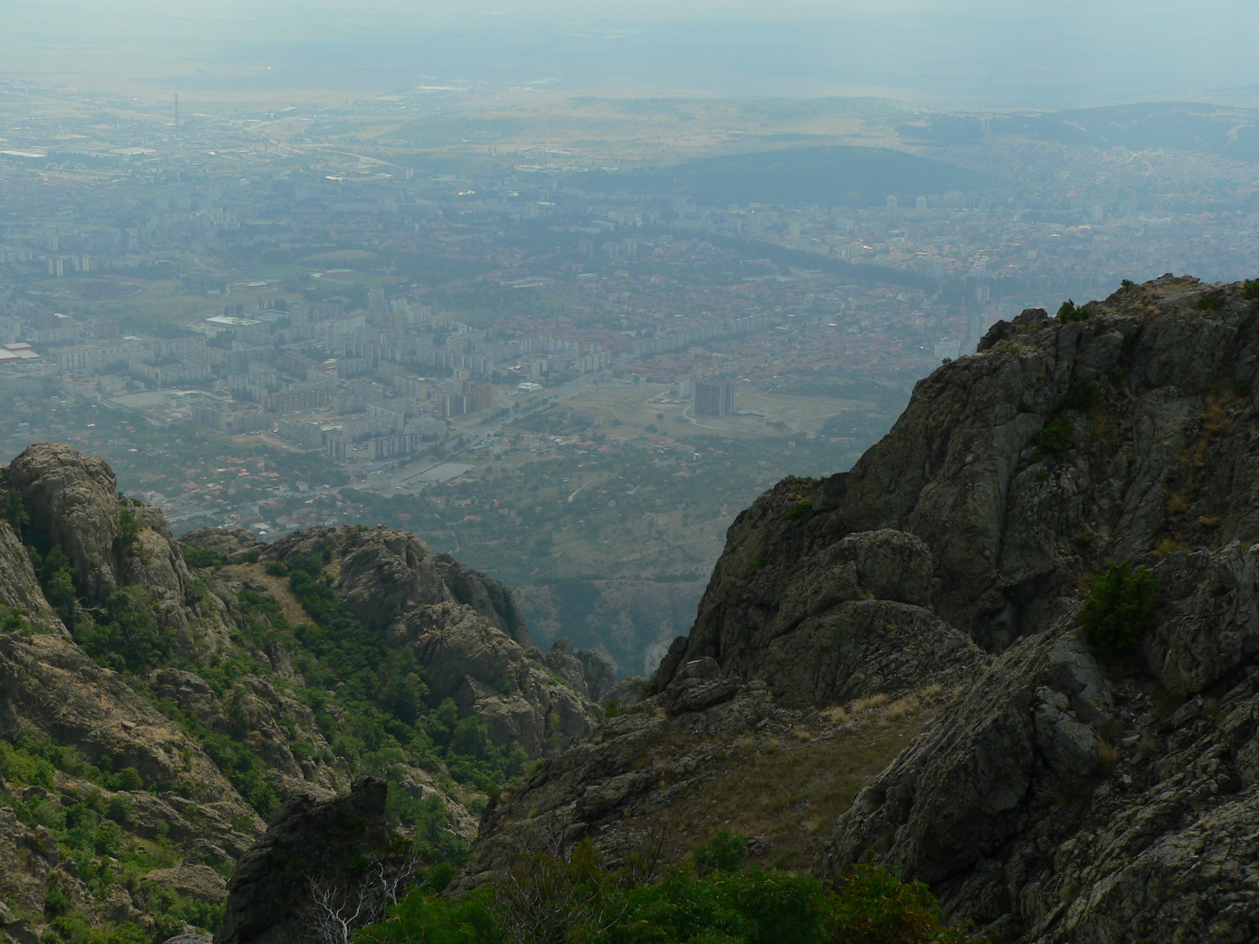
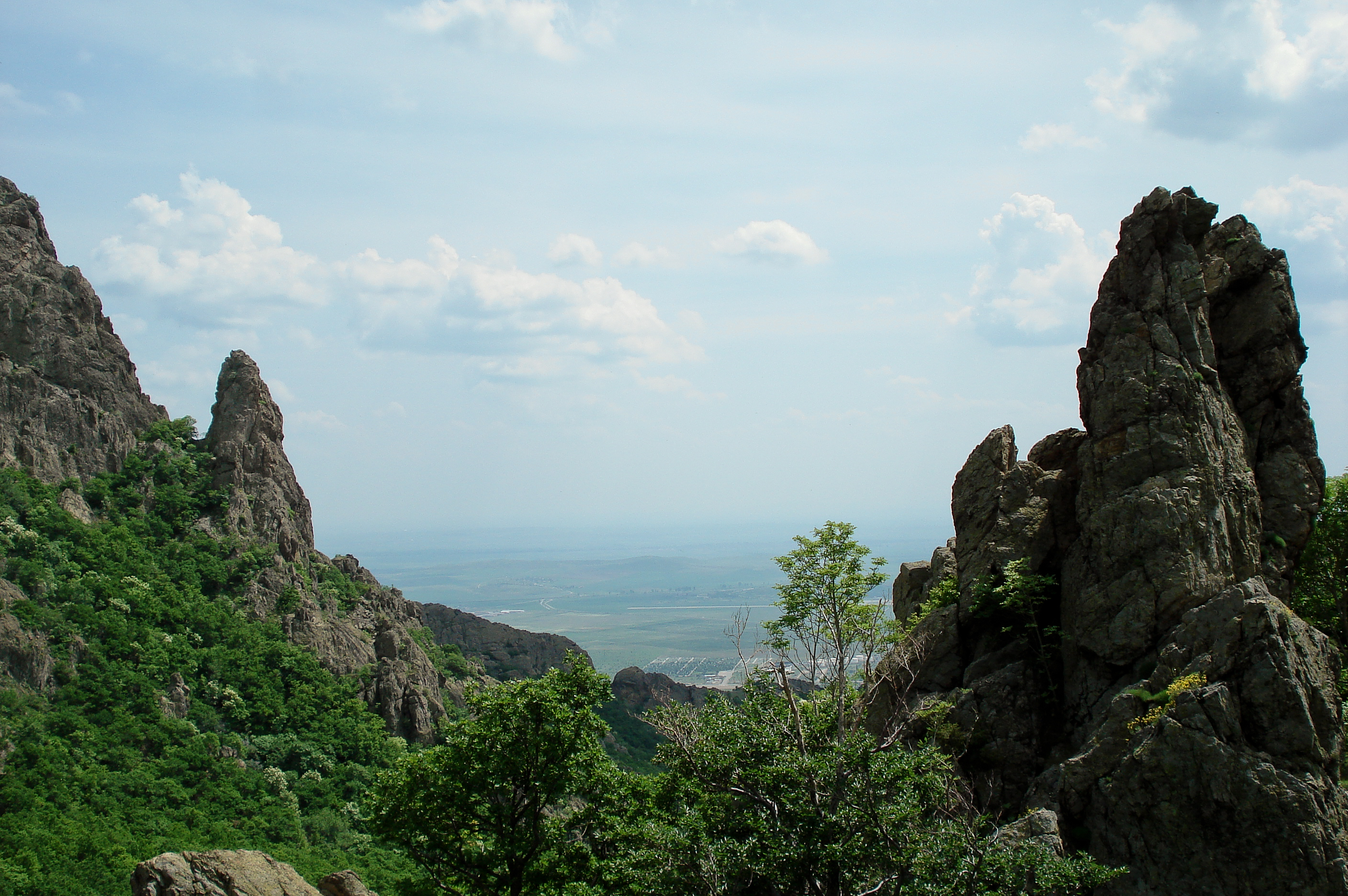
P1050418.JPG
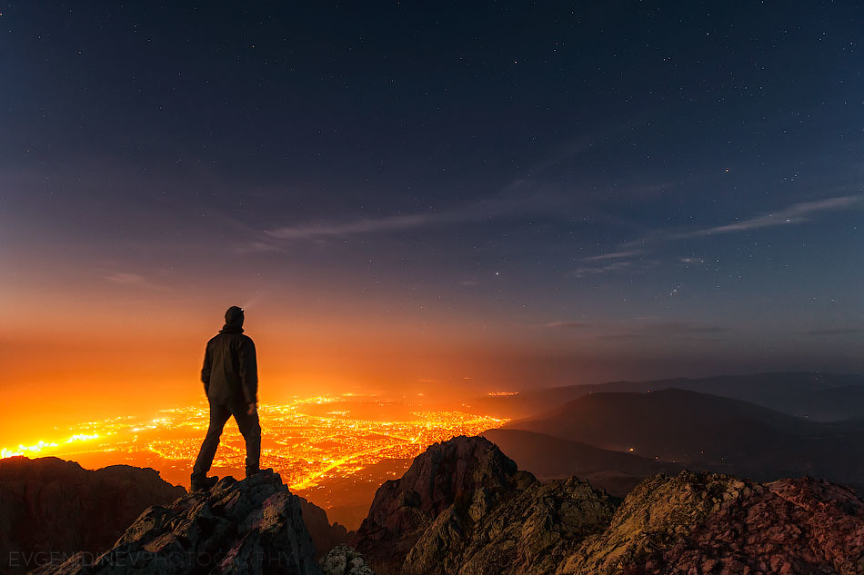
Above the Night
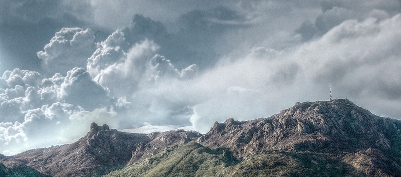
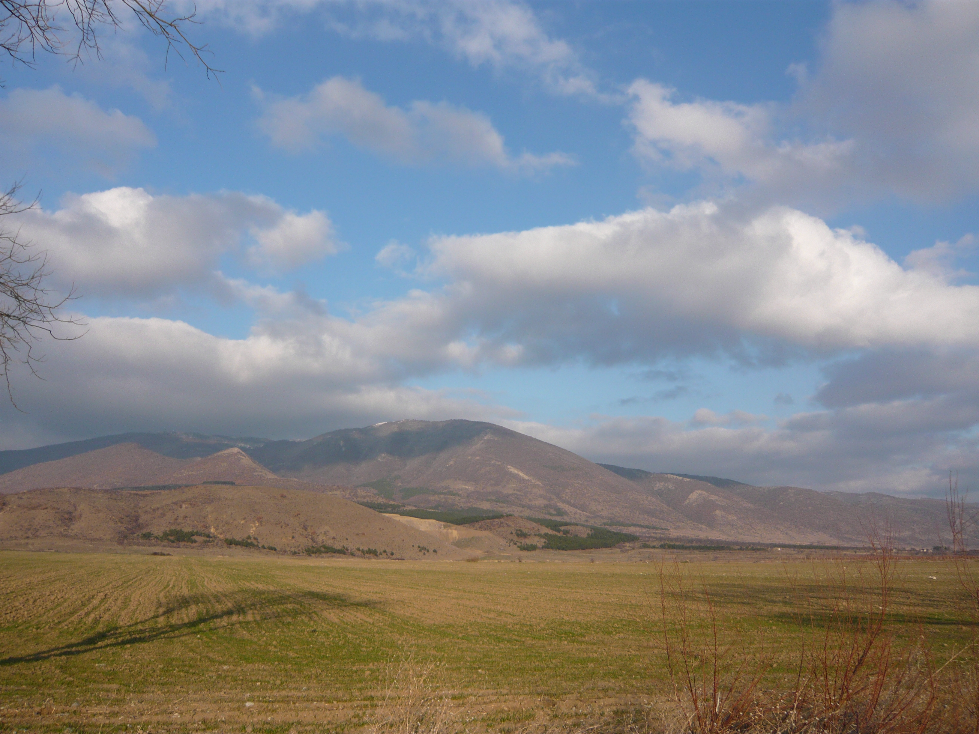
Карандила
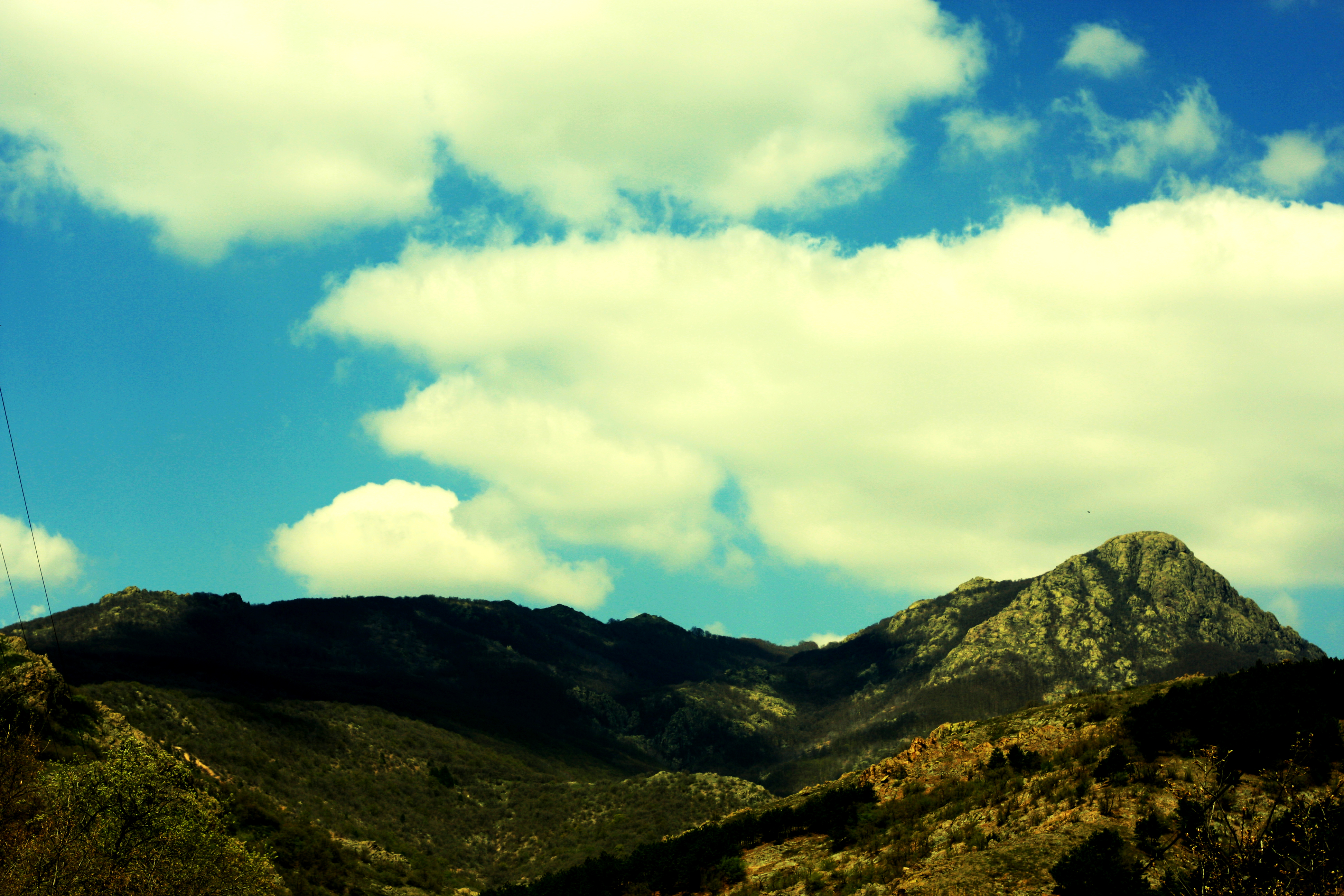
hills have eyes

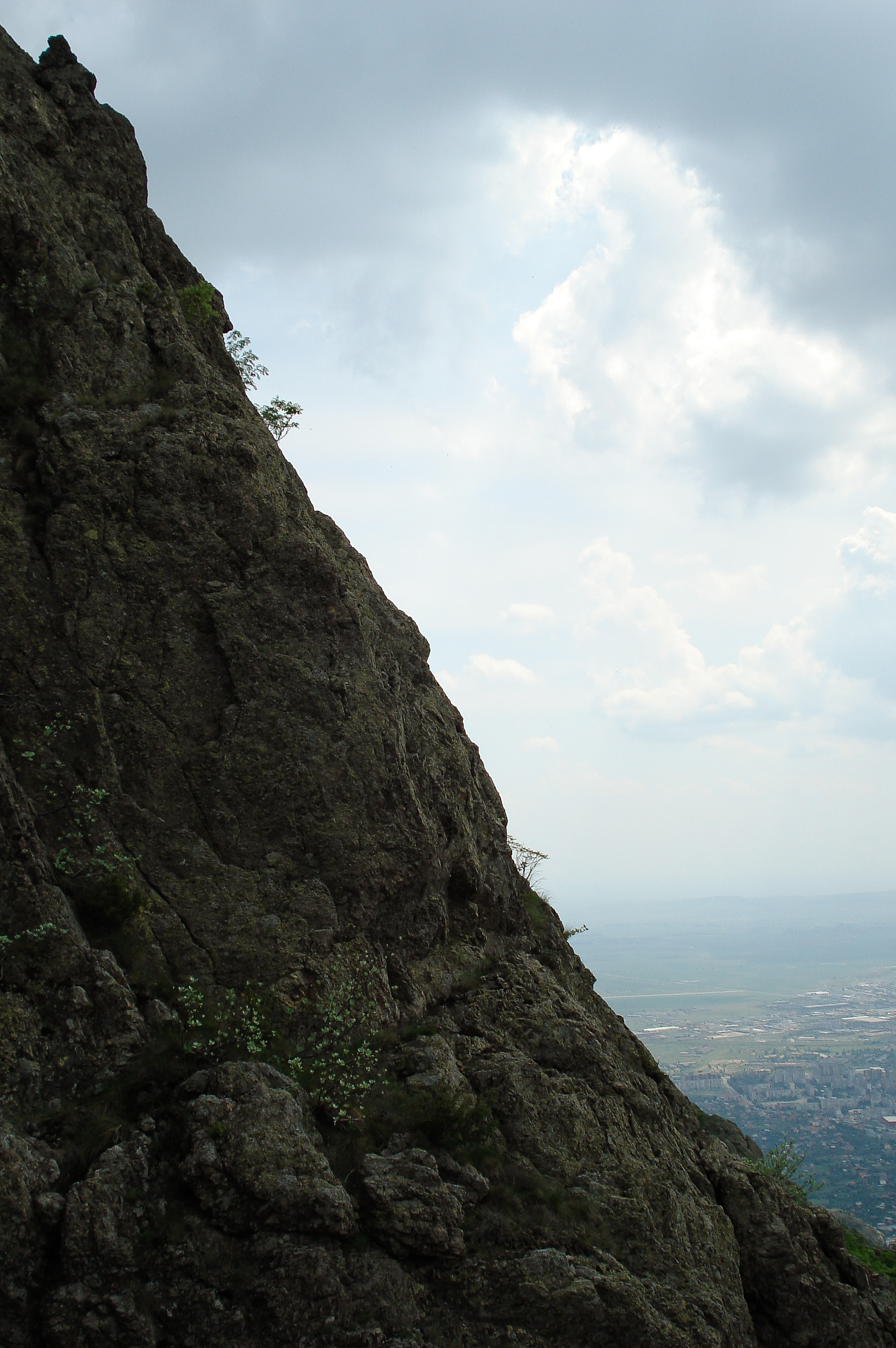
Karandila National Park
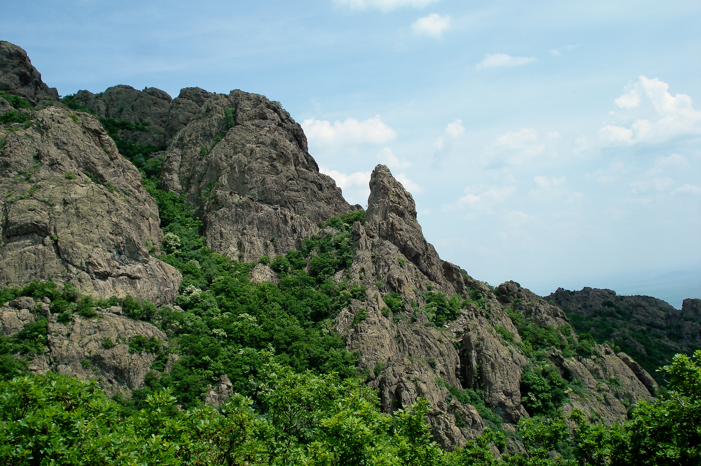
Karandila National Park
Karandila National Park
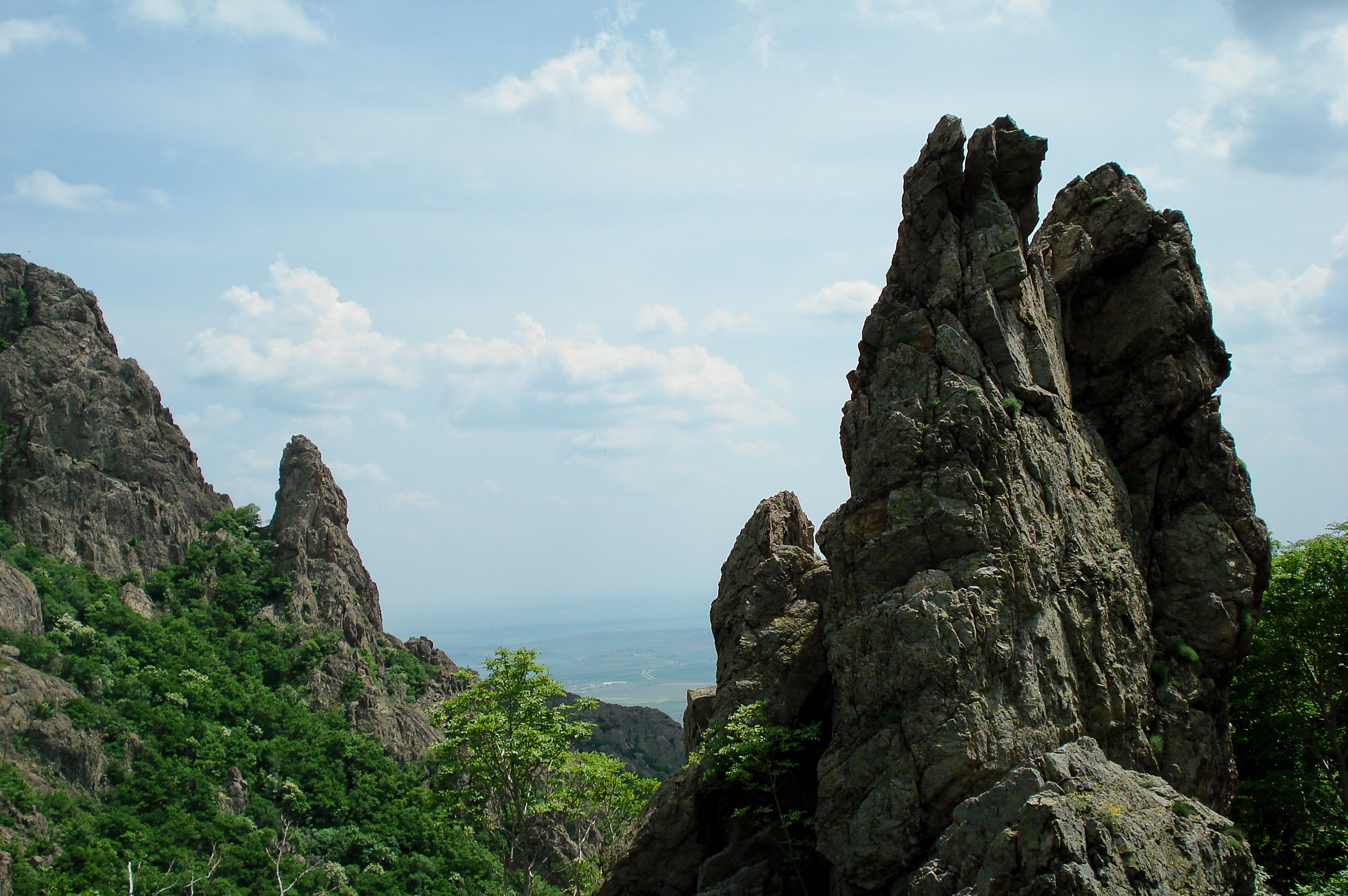
Blue Stones / Сините камъни
Karandila National Park
Karandila National Park
Topographic Map of Sliven, Bulgaria
Find elevation by address:

Places in Sliven, Bulgaria:
Places near Sliven, Bulgaria:
Sliven Province
Sliven
Unnamed Road
Bulgaria
Ardachlaka
Unnamed Road
Mokren
Stoynovo
Tănki Răt, Veliko Tărnovo
Cerkovna
Stoicevți
16, Zlataritsa, Bulgaria
Gurkovo
55 89, Pchelinovo, Bulgaria
Pchelinovo
Targovishte Province
51 29, Dralfa, Bulgaria
Tserova Koria
Bulgaria
Town Hall Pisarevo
Recent Searches:
- Elevation of Corso Fratelli Cairoli, 35, Macerata MC, Italy
- Elevation of Tallevast Rd, Sarasota, FL, USA
- Elevation of 4th St E, Sonoma, CA, USA
- Elevation of Black Hollow Rd, Pennsdale, PA, USA
- Elevation of Oakland Ave, Williamsport, PA, USA
- Elevation of Pedrógão Grande, Portugal
- Elevation of Klee Dr, Martinsburg, WV, USA
- Elevation of Via Roma, Pieranica CR, Italy
- Elevation of Tavkvetili Mountain, Georgia
- Elevation of Hartfords Bluff Cir, Mt Pleasant, SC, USA