Elevation of Skjomen Golfpark, Elvegard, Norway
Location: Norway > Nordland > Narvik >
Longitude: 17.4281274
Latitude: 68.2316547
Elevation: 52m / 171feet
Barometric Pressure: 101KPa
Elevation Map:
Satellite Map:
Related Photos:
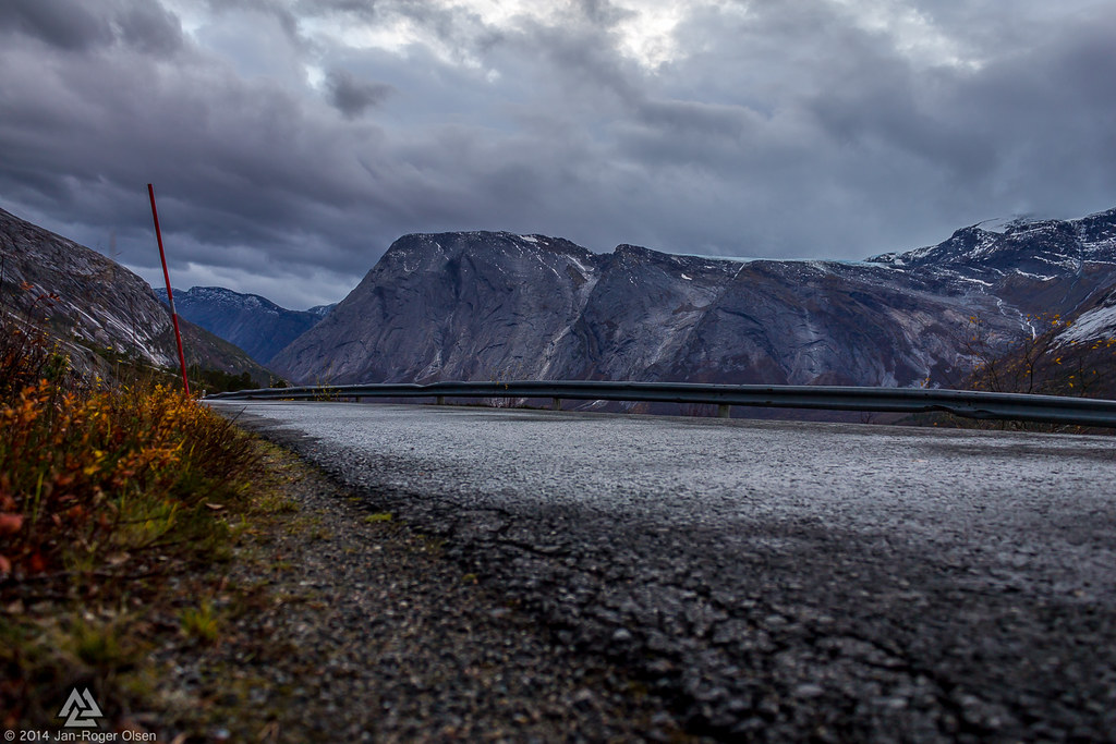
Cloudy Road

Waterfall Skjomen

Skjomen panorama

Skjomen Road

Utsikt fra Eiterdalen

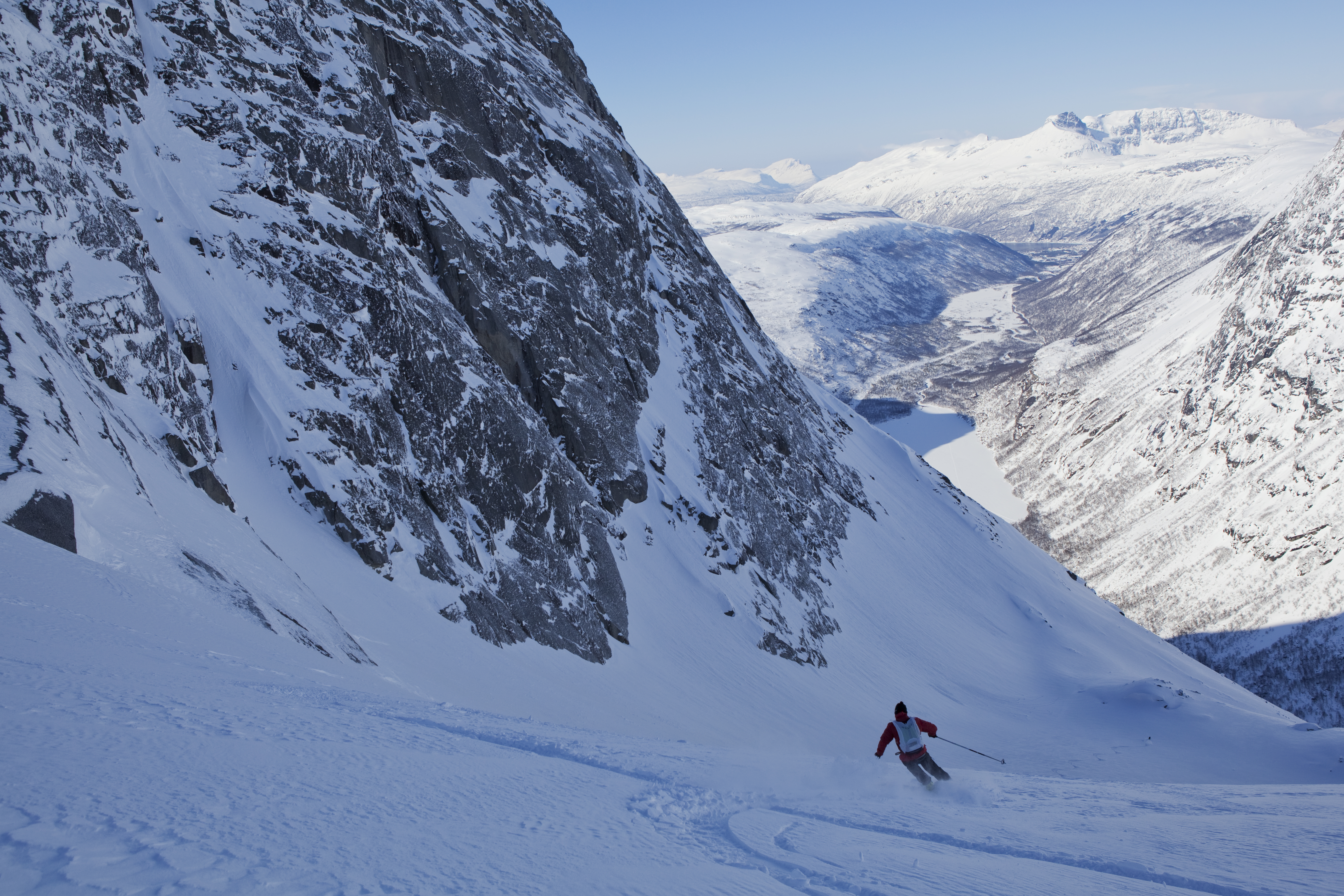
The first tracks ever?
East of Nihkecohkka (1267 m)
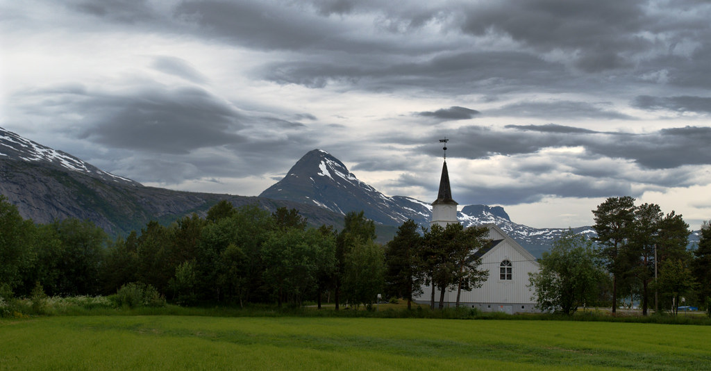
Elvegård kirke utenfor Narvik
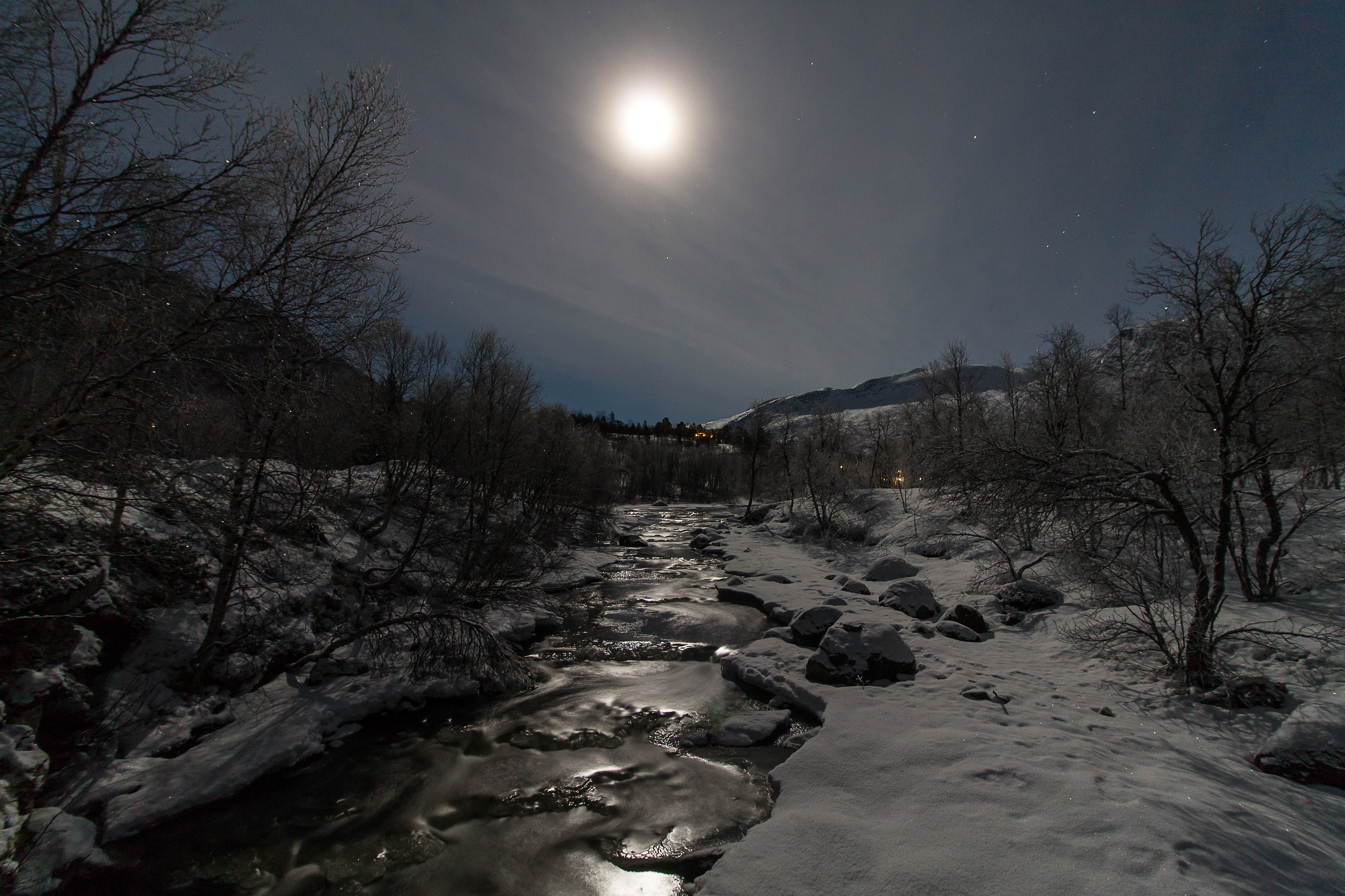
Mercury river
Topographic Map of Skjomen Golfpark, Elvegard, Norway
Find elevation by address:

Places near Skjomen Golfpark, Elvegard, Norway:
Recent Searches:
- Elevation of Corso Fratelli Cairoli, 35, Macerata MC, Italy
- Elevation of Tallevast Rd, Sarasota, FL, USA
- Elevation of 4th St E, Sonoma, CA, USA
- Elevation of Black Hollow Rd, Pennsdale, PA, USA
- Elevation of Oakland Ave, Williamsport, PA, USA
- Elevation of Pedrógão Grande, Portugal
- Elevation of Klee Dr, Martinsburg, WV, USA
- Elevation of Via Roma, Pieranica CR, Italy
- Elevation of Tavkvetili Mountain, Georgia
- Elevation of Hartfords Bluff Cir, Mt Pleasant, SC, USA