Elevation of Skipjack Cir, Southport, NC, USA
Location: United States > North Carolina > Brunswick County > Smithville > Southport >
Longitude: -78.028426
Latitude: 33.9256648
Elevation: 4m / 13feet
Barometric Pressure: 101KPa
Elevation Map:
Satellite Map:
Related Photos:

Last Pier View in Green and Blue

Fort Fisher

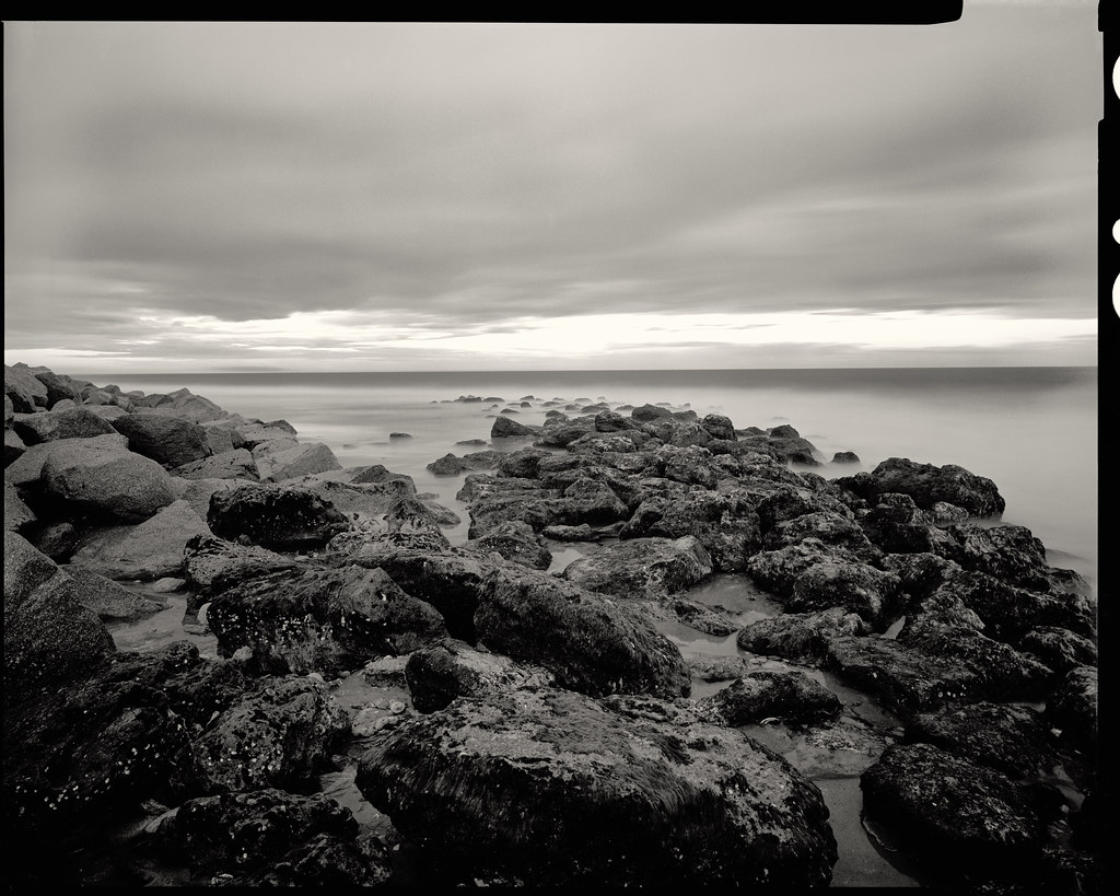
Coquina Rocks

Yacht Basin (5)

Fishy Fishy Cafe

Yacht Basin

Through the Clouds

Looking Up Bay Street

Bay Street in Southport

Yacht Basin (3)

Moon over the Cape Fear - B&W

Yacht Basin (6)

Yacht Basin (2)

Incoming storm

Southport Yacht Basin (3)

Riverside Motel and Cape Fear Restaurant

Salt marsh and Middle Island

Tranquil spot

The Four Seasons

Southport sunset

Crepuscule with Nellie

Coquina Incoming

020 Caswell Beach sunset Oak Island, NC USA
00591-BeachTrip059 1

Looking down over the beautiful Ocean Front Park and Pavilion of the small and quaint town of Kure Beach, which is located along the coastline of North Carolina! Can anyone guess the name of the river that separates this island from mainland North Carolin

Milky Way over the Atlantic Ocean

Fort Fisher Sunrise

Still Chasing The Sun

Oak Island

Looking down over Ocean Front Park and Fort Fisher Blvd of the small and quaint town of Kure Beach, which is located along the coastline of North Carolina! Can anyone guess the name of the river that separates this island from mainland North Carolina? .

Marsh gold
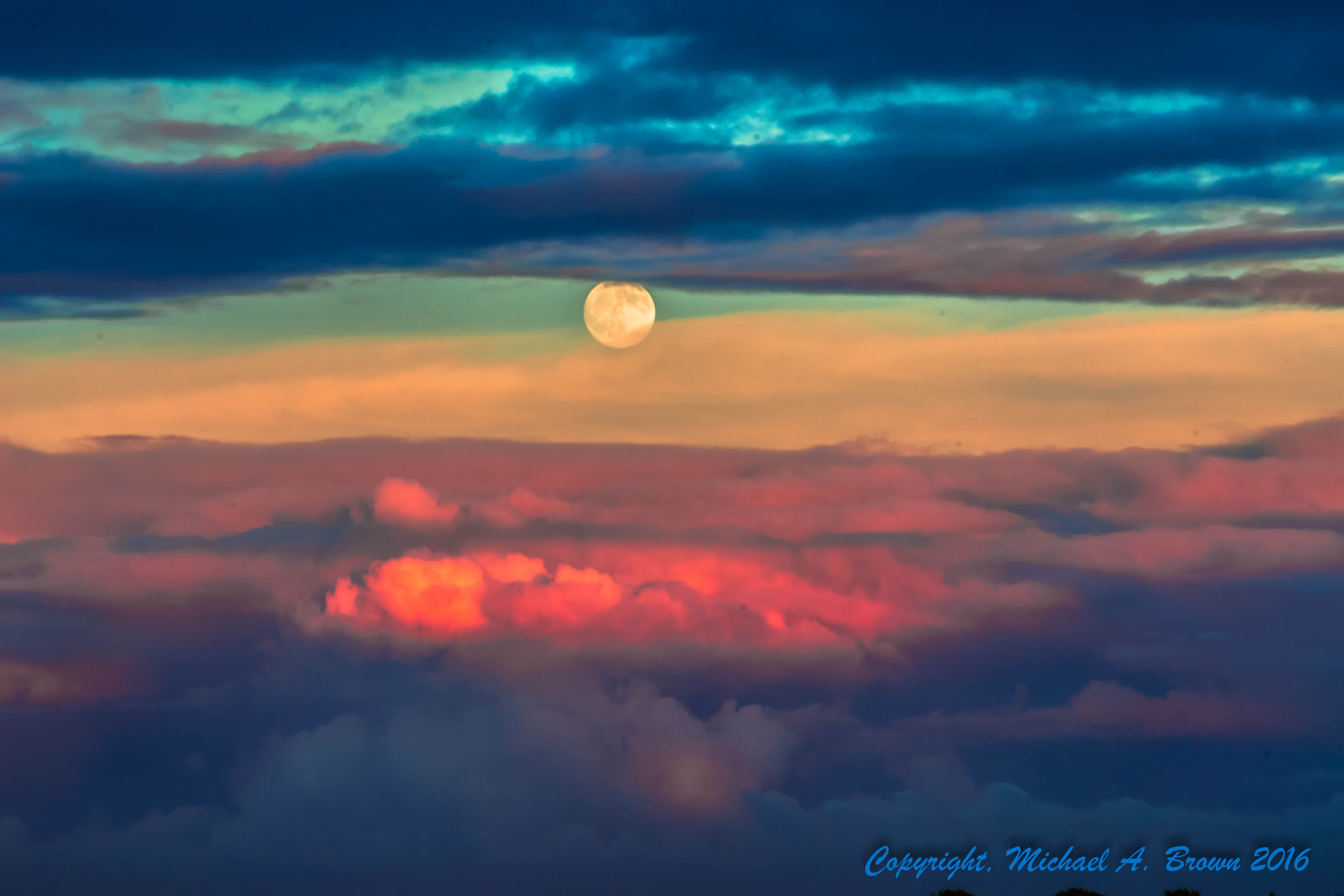
Moonrise at Sunset

Early Bird Gets the Worm

Sunset on the beach

Sunrise at Kure Beach

Kure Beach Pier Sunset

Event Horizon

What The Tide Reveals

Coquina Milky Way
Topographic Map of Skipjack Cir, Southport, NC, USA
Find elevation by address:

Places near Skipjack Cir, Southport, NC, USA:
Wild Rose Way
Wild Rose Way
Wild Rose Way
Arabella Lane
612 Cottage Point Way
510 W George St
508 W George St
506 W George St
508 W George St
508 W George St
608 W Brown St
608 W Brown St
509 W George St
416 Burrington Ave
416 Burrington Ave
519 N Caswell Ave
517 N Caswell Ave
614 W West St
302 W George St
667 Spartina Ct
Recent Searches:
- Elevation of Corso Fratelli Cairoli, 35, Macerata MC, Italy
- Elevation of Tallevast Rd, Sarasota, FL, USA
- Elevation of 4th St E, Sonoma, CA, USA
- Elevation of Black Hollow Rd, Pennsdale, PA, USA
- Elevation of Oakland Ave, Williamsport, PA, USA
- Elevation of Pedrógão Grande, Portugal
- Elevation of Klee Dr, Martinsburg, WV, USA
- Elevation of Via Roma, Pieranica CR, Italy
- Elevation of Tavkvetili Mountain, Georgia
- Elevation of Hartfords Bluff Cir, Mt Pleasant, SC, USA