Elevation of Skihist Mountain, Thompson-Nicola I, BC V0K, Canada
Location: Canada > British Columbia > Lytton >
Longitude: -121.90333
Latitude: 50.1877777
Elevation: 2811m / 9222feet
Barometric Pressure: 72KPa
Elevation Map:
Satellite Map:
Related Photos:
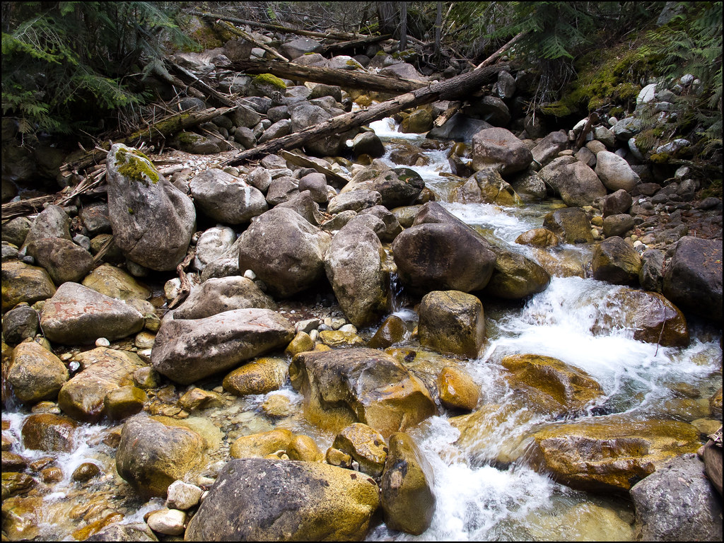
Horizontal View of Earl's Creek

Stein River View From Valley
Topographic Map of Skihist Mountain, Thompson-Nicola I, BC V0K, Canada
Find elevation by address:

Places near Skihist Mountain, Thompson-Nicola I, BC V0K, Canada:
Petlushkwohap Mountain
Meadow Lake
St Georges Rd, Spences Bridge, BC V0K 2L0, Canada
Fraser St, Kamloops, BC V0K 1Z0, Canada
BC-12, Lytton, BC V0K 1Z0, Canada
Lytton
Lytton Hotel
Trans-Canada Hwy, Lytton, BC V0K 1Z0, Canada
Botanie Rock Farms
Lytton-Lillooet Hwy, Spences Bridge, BC V0K 2L0, Canada
Fraser Valley A
Botanie Creek Road
BC-1, Lytton, BC V0K 1Z0, Canada
The Nipple
Mount Brew
Keefers
Jorgensen Rd, Lillooet, BC V0K 1V0, Canada
Reo Rafting Resort
Blue Lake Resort
Mount Breakenridge
Recent Searches:
- Elevation of Corso Fratelli Cairoli, 35, Macerata MC, Italy
- Elevation of Tallevast Rd, Sarasota, FL, USA
- Elevation of 4th St E, Sonoma, CA, USA
- Elevation of Black Hollow Rd, Pennsdale, PA, USA
- Elevation of Oakland Ave, Williamsport, PA, USA
- Elevation of Pedrógão Grande, Portugal
- Elevation of Klee Dr, Martinsburg, WV, USA
- Elevation of Via Roma, Pieranica CR, Italy
- Elevation of Tavkvetili Mountain, Georgia
- Elevation of Hartfords Bluff Cir, Mt Pleasant, SC, USA