Elevation of Skihi Peak, Montana, USA
Location: United States > Montana > Jefferson County > Clancy >
Longitude: -112.05888
Latitude: 46.5265996
Elevation: 1992m / 6535feet
Barometric Pressure: 80KPa
Elevation Map:
Satellite Map:
Related Photos:
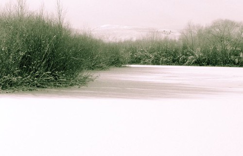
Snowy Lake Idyll
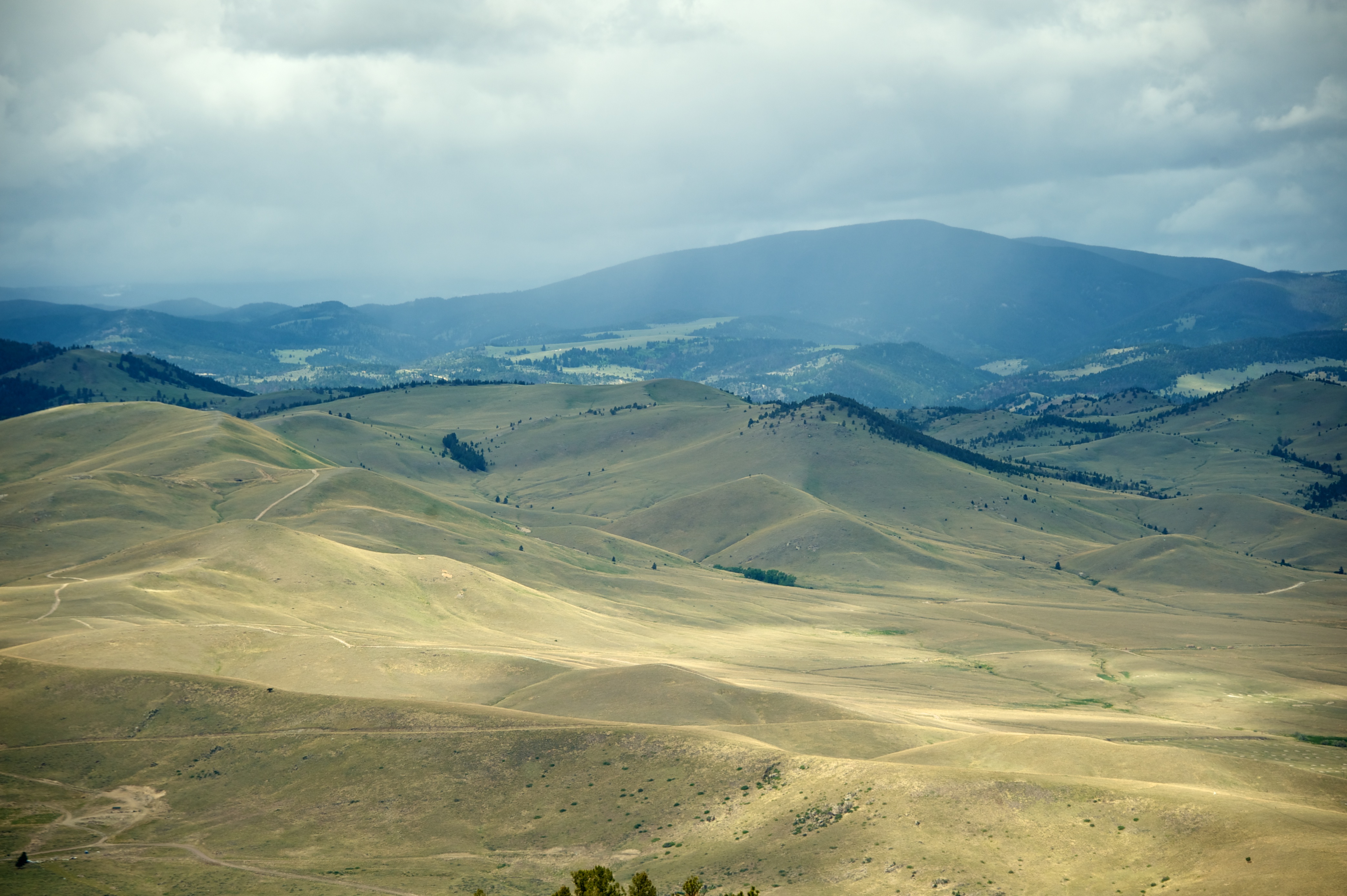
106 Foothills

Overdone Wheat in Every Sense of the Word
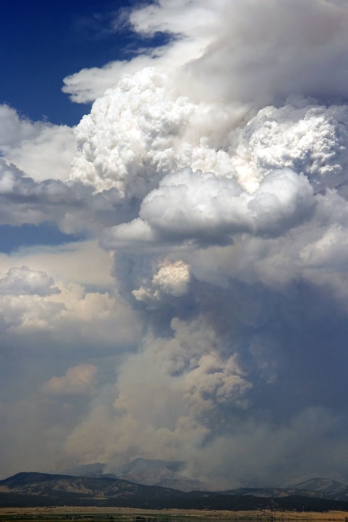
Gates Fire Closeup Long
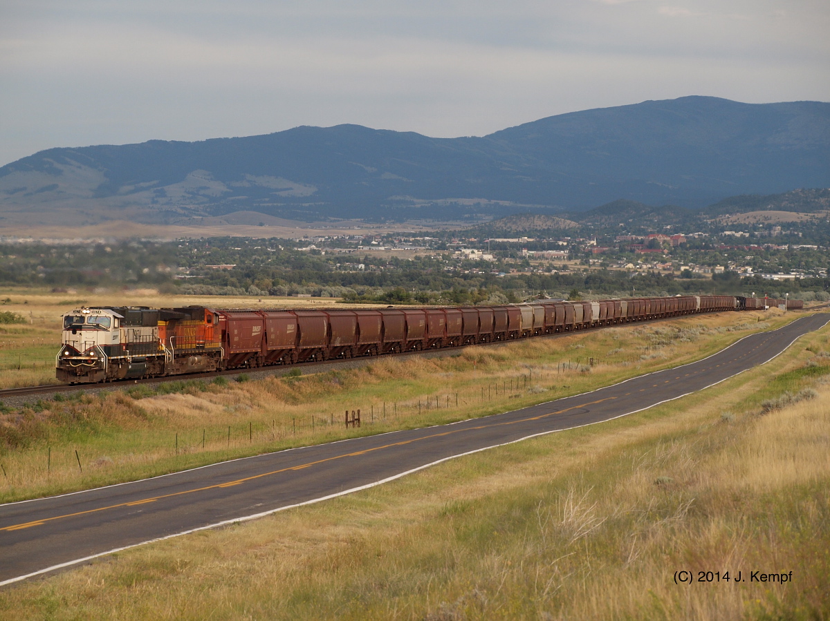
Grain Loads. July 30, 2014
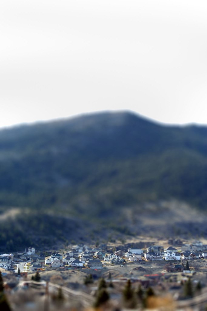
Reeders Village Miniatures
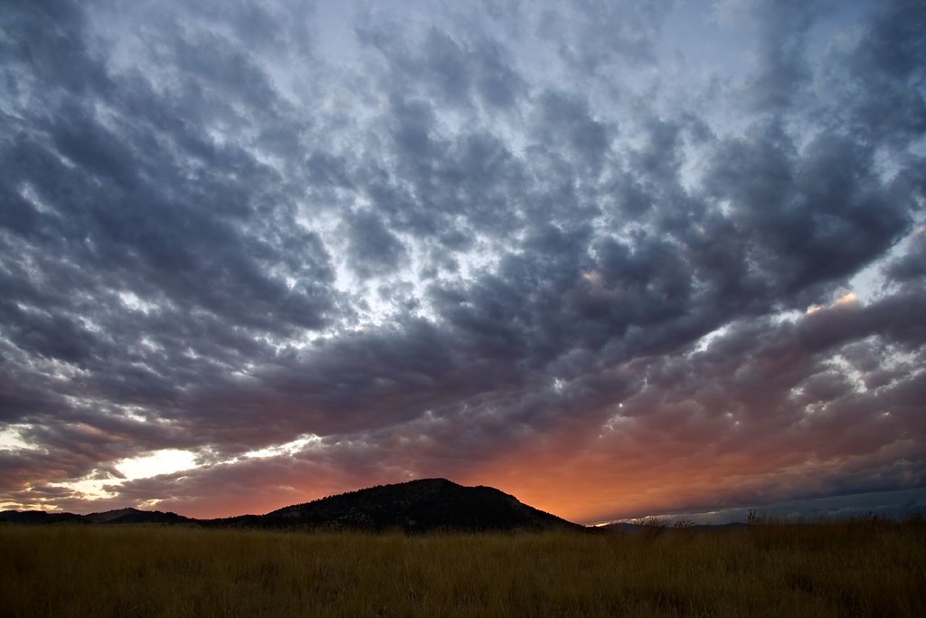
Cloudy Sunset over September Mt Helena Sky
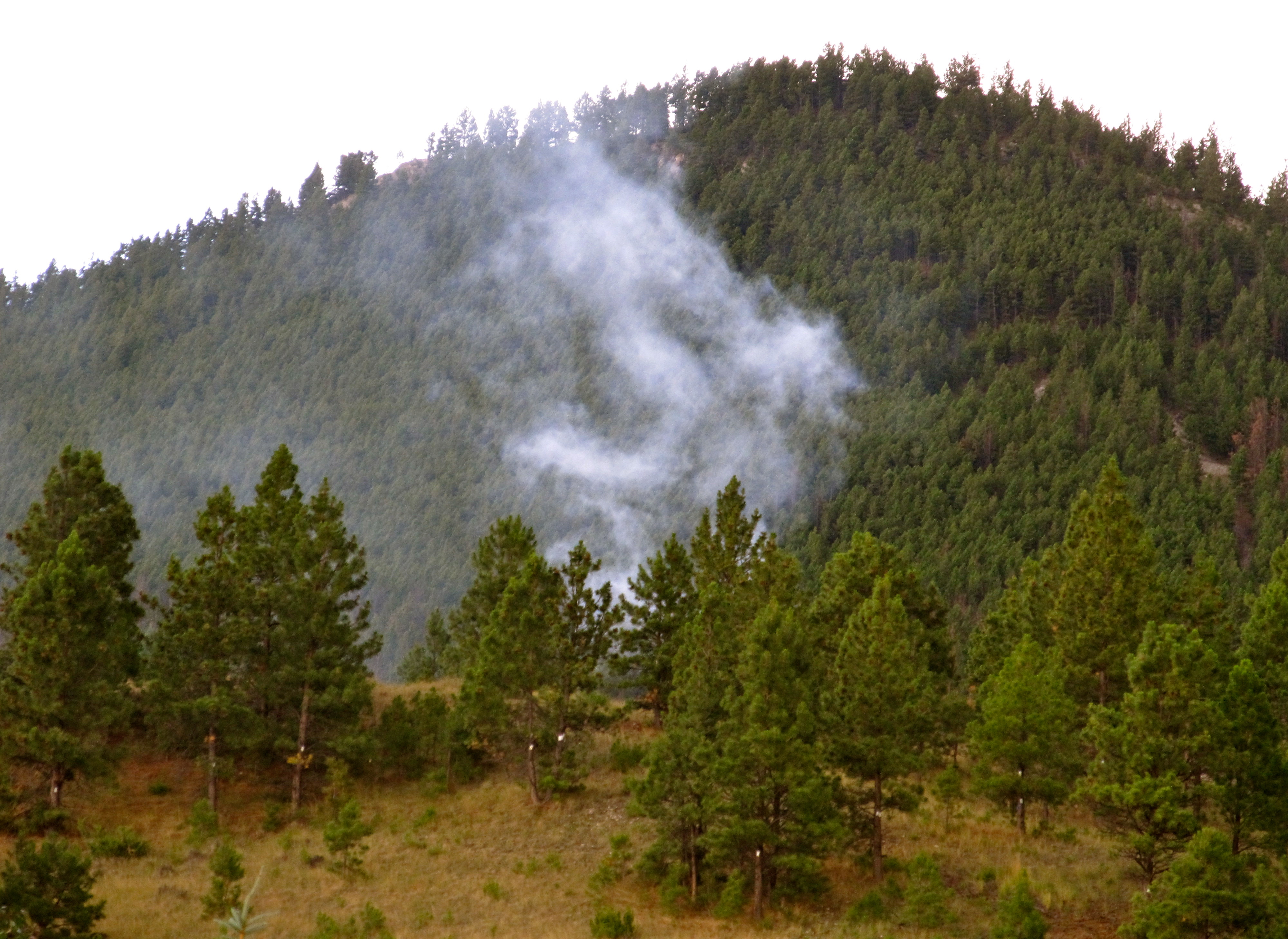
Mount Ascension Fire. Helena,Montana

Carroll College Campus in 360

Carroll College Polar Panorama
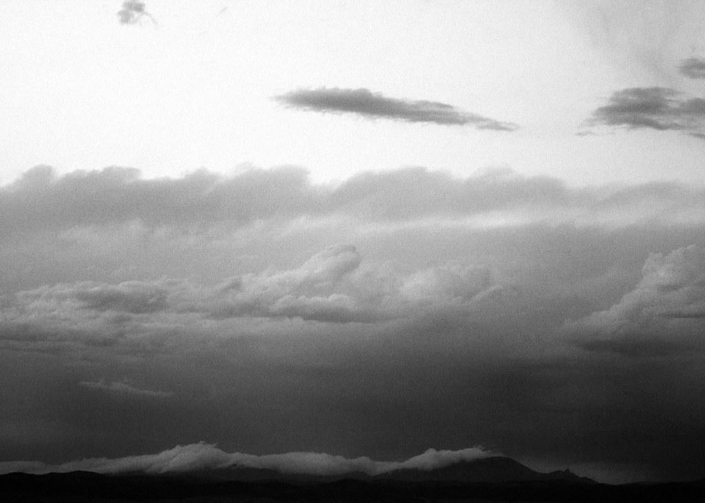
Sleeping Giant BW Kodak TMAX Treatment
Landscape with Glittering Branches
Topographic Map of Skihi Peak, Montana, USA
Find elevation by address:

Places near Skihi Peak, Montana, USA:
2073 Black Alder Gulch
470 Holmes Gulch Rd
589 W Main St
346 Clancy St
346 Clancy St
609 Rhode Island St
555 3rd St
2 Mule Trail Rd
Mule Trail Road
2 Mule Trail Rd
1580 Ohio Ave
Tamarack Street
1501 Winne Ave
718 Darby St
29 Tiger Gulch
44 Pine Ridge Cir
915 Saddle Dr
47 Highland Meadow Rd
2755 Colonial Dr
18 Clancy Creek Rd
Recent Searches:
- Elevation of Corso Fratelli Cairoli, 35, Macerata MC, Italy
- Elevation of Tallevast Rd, Sarasota, FL, USA
- Elevation of 4th St E, Sonoma, CA, USA
- Elevation of Black Hollow Rd, Pennsdale, PA, USA
- Elevation of Oakland Ave, Williamsport, PA, USA
- Elevation of Pedrógão Grande, Portugal
- Elevation of Klee Dr, Martinsburg, WV, USA
- Elevation of Via Roma, Pieranica CR, Italy
- Elevation of Tavkvetili Mountain, Georgia
- Elevation of Hartfords Bluff Cir, Mt Pleasant, SC, USA