Elevation of Skidmore, TX, USA
Location: United States > Texas > Bee County >
Longitude: -97.685552
Latitude: 28.2541716
Elevation: 48m / 157feet
Barometric Pressure: 101KPa
Elevation Map:
Satellite Map:
Related Photos:
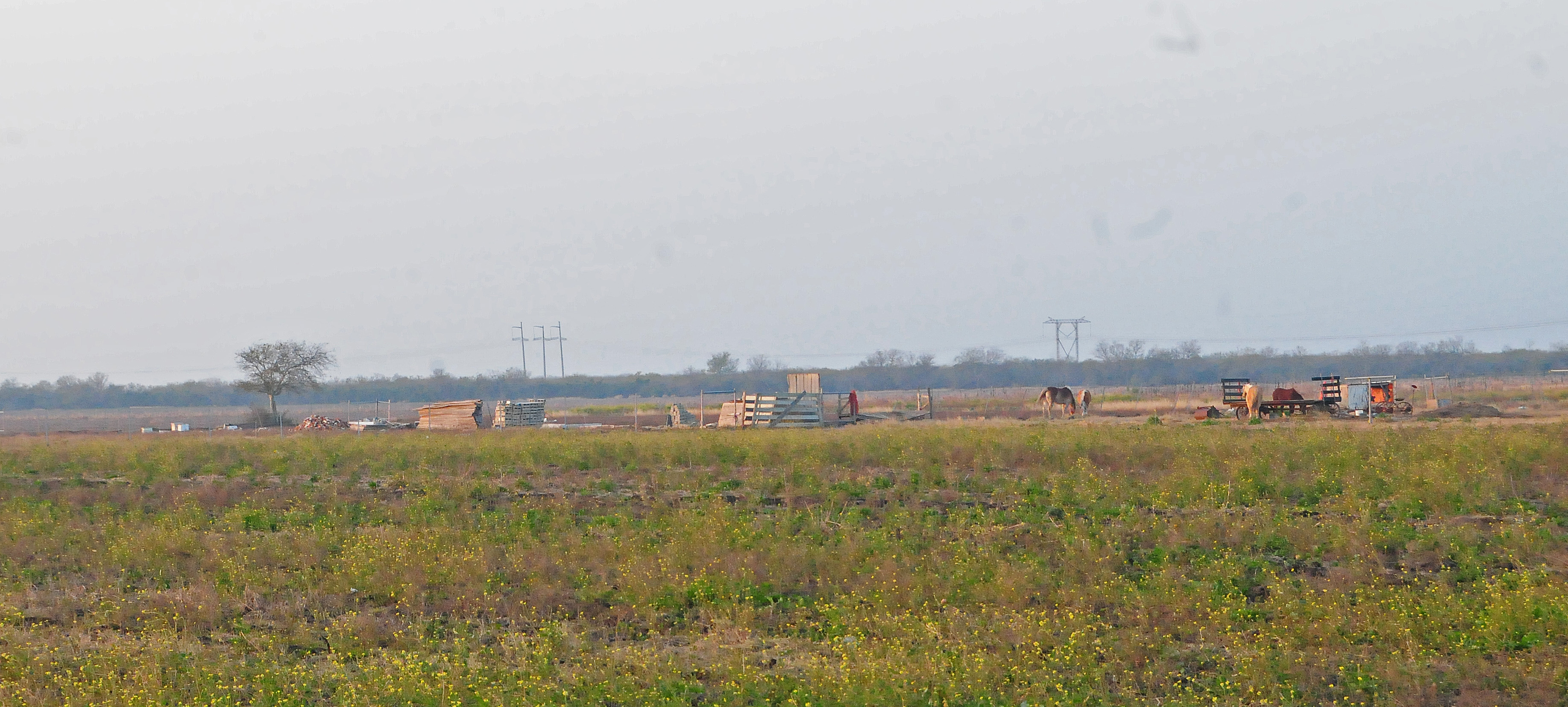
DSW_2642a

TA-4J

TA-4J
Topographic Map of Skidmore, TX, USA
Find elevation by address:

Places in Skidmore, TX, USA:
Places near Skidmore, TX, USA:
E Corpus Christi St, Skidmore, TX, USA
Bee County
1653 Moore St
South Archer Street
S St Marys St, Beeville, TX, USA
Beeville
2199 Us-59
Salazar Dr, Beeville, TX, USA
3021 Fm799
Co Rd 13F, Mathis, TX, USA
Lakeshore Gardens-hidden Acres
5600 Valley Oaks Dr
5763 Chaparral Trail
142 Peninsula Dr
Fm 1360
Woodsboro
Live Oak County
FM, George West, TX, USA
1113 Shelly Rd
3706 Us-59
Recent Searches:
- Elevation of Corso Fratelli Cairoli, 35, Macerata MC, Italy
- Elevation of Tallevast Rd, Sarasota, FL, USA
- Elevation of 4th St E, Sonoma, CA, USA
- Elevation of Black Hollow Rd, Pennsdale, PA, USA
- Elevation of Oakland Ave, Williamsport, PA, USA
- Elevation of Pedrógão Grande, Portugal
- Elevation of Klee Dr, Martinsburg, WV, USA
- Elevation of Via Roma, Pieranica CR, Italy
- Elevation of Tavkvetili Mountain, Georgia
- Elevation of Hartfords Bluff Cir, Mt Pleasant, SC, USA