Elevation map of Skellefteå V, Sweden
Location: Sweden > Västerbotten County >
Longitude: 20.3225279
Latitude: 64.7003973
Elevation: 209m / 686feet
Barometric Pressure: 99KPa
Elevation Map:
Satellite Map:
Related Photos:
Shooting range

Flow ~14

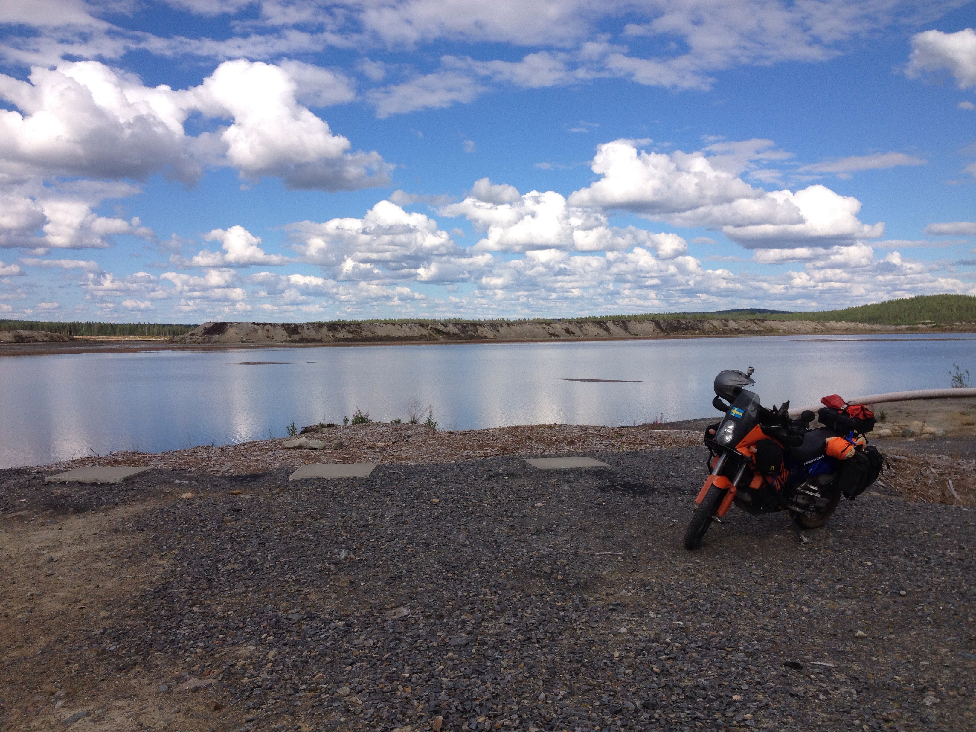
On the other side

Spreading bellflower

On the ground

Old sawmill 3

Old sawmill 2

Old sawmill 1

Tachometer ~49

Melker Wastensson

Noa Wastensson

Mia och Clara

Summer Macro #1

Leila felicia

Skogen 3

Maria och thomas

Right Angles
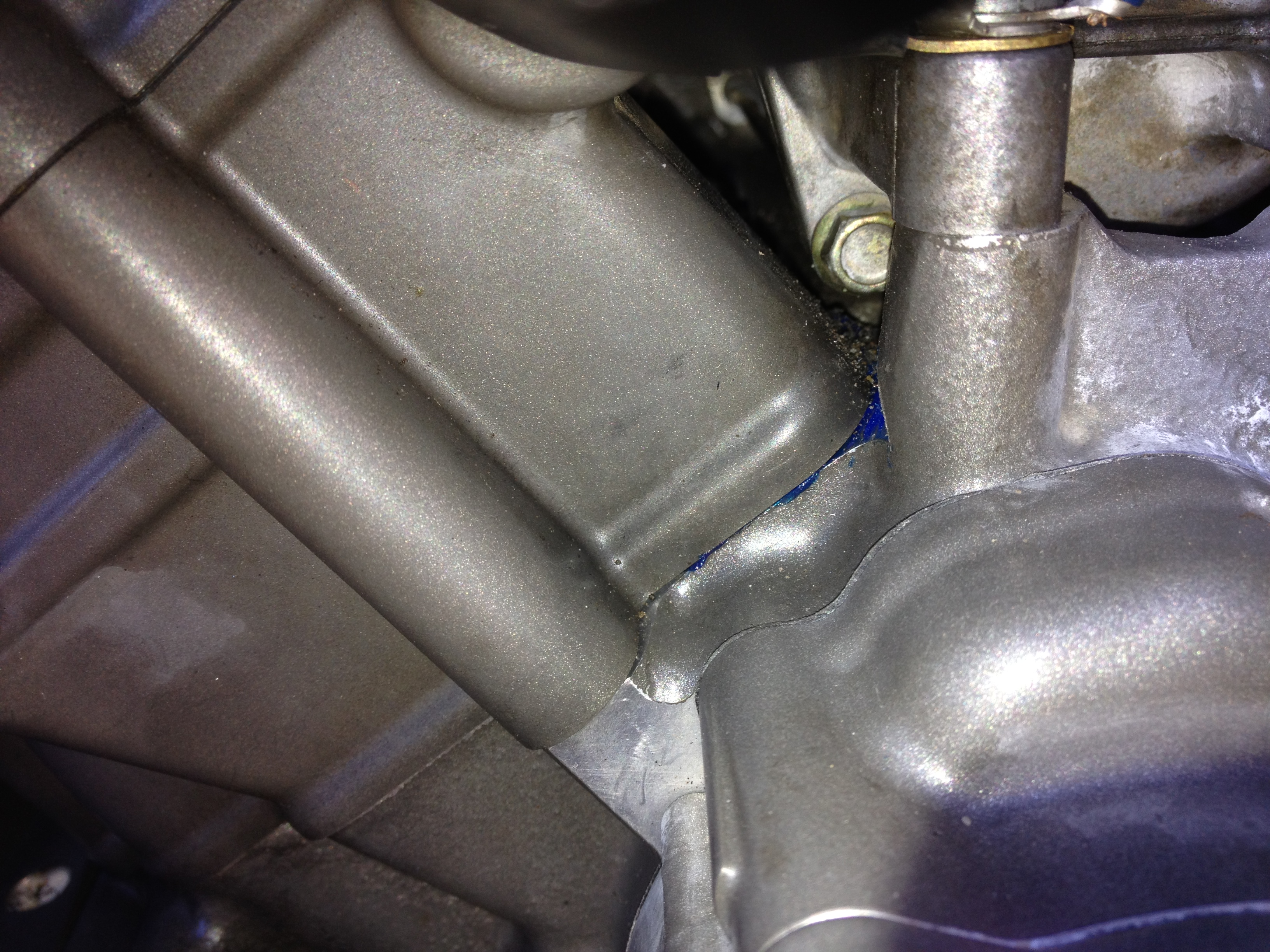
No leak
Topographic Map of Skellefteå V, Sweden
Find elevation by address:

Places in Skellefteå V, Sweden:
Places near Skellefteå V, Sweden:
Bjurån
Bjurån 10, 91 Boliden, Sweden
Skellefteå
Vikborg 11, 61 Bastuträsk, Sweden
Vikborg
Langnastrask
Långnästräsk 19, 55 Jörn, Sweden
Skellefteå N
Skellefteå
Frostkåge, 92 Kåge, Sweden
Frostkåge, 92 Kåge, Sweden
BREDTRÄSK, 05 Långträsk, Sweden
STÅLBERGET 16, 92 Kåge, Sweden
Frostkåge
Piteå
Arvidsträsk 18, 93 Älvsbyn, Sweden
Arvidsträsk
18a
Laver
Älvsbyn S
Recent Searches:
- Elevation of Corso Fratelli Cairoli, 35, Macerata MC, Italy
- Elevation of Tallevast Rd, Sarasota, FL, USA
- Elevation of 4th St E, Sonoma, CA, USA
- Elevation of Black Hollow Rd, Pennsdale, PA, USA
- Elevation of Oakland Ave, Williamsport, PA, USA
- Elevation of Pedrógão Grande, Portugal
- Elevation of Klee Dr, Martinsburg, WV, USA
- Elevation of Via Roma, Pieranica CR, Italy
- Elevation of Tavkvetili Mountain, Georgia
- Elevation of Hartfords Bluff Cir, Mt Pleasant, SC, USA