Elevation of Sitka, KS, USA
Location: United States > Kansas > Clark County >
Longitude: -99.589604
Latitude: 37.1220848
Elevation: 573m / 1880feet
Barometric Pressure: 95KPa
Elevation Map:
Satellite Map:
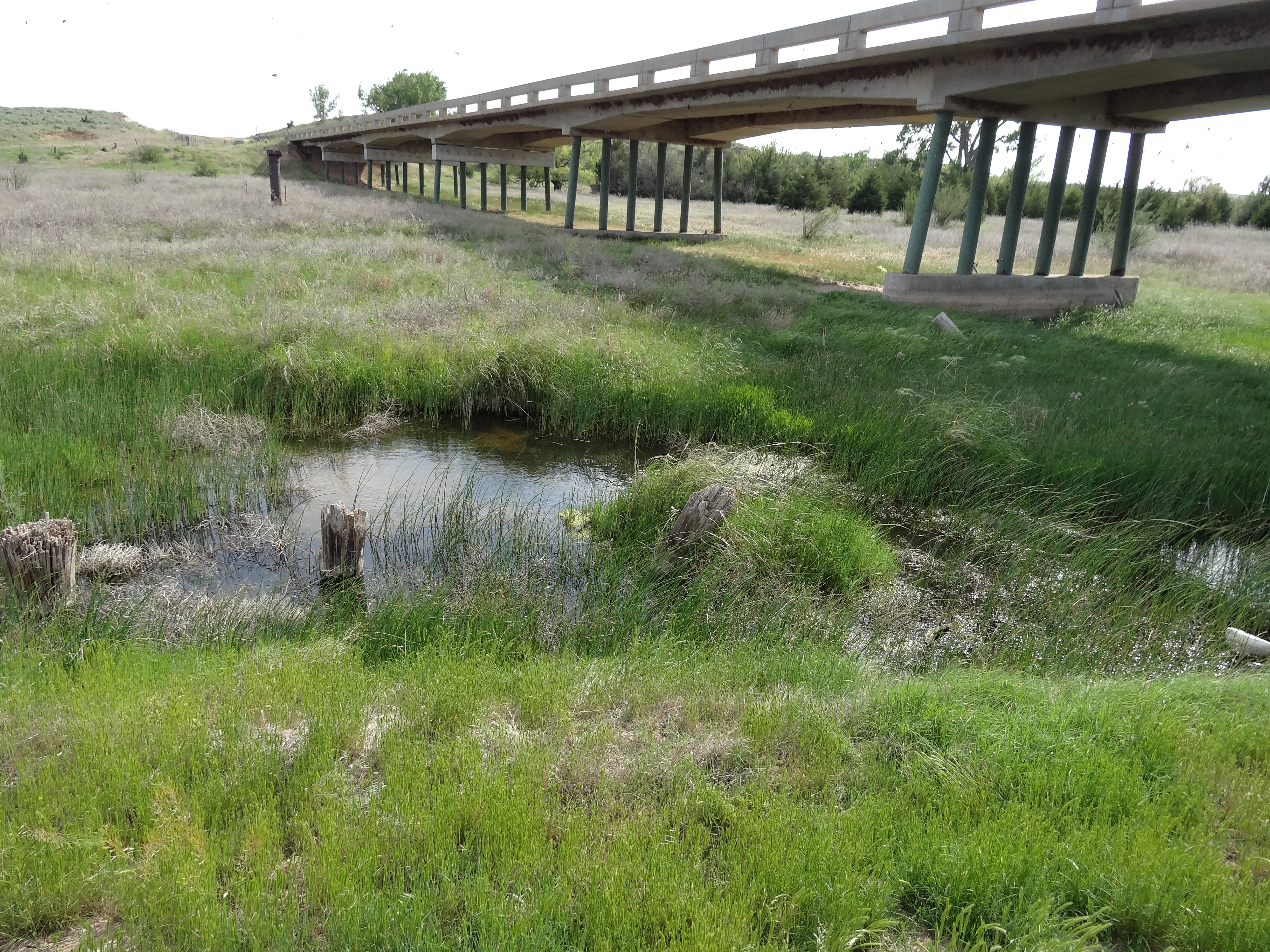
Related Photos:

050

DSC05045
DSC03955

DSC05046

DSC03702

DSC03727

DSC03853

DSC03834

DSC03934

DSC03687

DSC03720

DSC03887
DSC03688

DSC03852

DSC05182

DSC03845

DSC03690

DSC03678

DSC03829

DSC04951

DSC03701
Topographic Map of Sitka, KS, USA
Find elevation by address:

Places in Sitka, KS, USA:
Places near Sitka, KS, USA:
Sitka
Ashland
8th Ave, Ashland, KS, USA
Creek East
Clark County
Comanche County
Liberty
S Main St, Bucklin, KS, USA
Bucklin
Mullinville
South Ave, Mullinville, KS, USA
Bucklin
Kiowa County
Kiowa Rural
Dunlap
Ford
Main St, Ford, KS, USA
Fort Supply
Ford
Greensburg
Recent Searches:
- Elevation of Corso Fratelli Cairoli, 35, Macerata MC, Italy
- Elevation of Tallevast Rd, Sarasota, FL, USA
- Elevation of 4th St E, Sonoma, CA, USA
- Elevation of Black Hollow Rd, Pennsdale, PA, USA
- Elevation of Oakland Ave, Williamsport, PA, USA
- Elevation of Pedrógão Grande, Portugal
- Elevation of Klee Dr, Martinsburg, WV, USA
- Elevation of Via Roma, Pieranica CR, Italy
- Elevation of Tavkvetili Mountain, Georgia
- Elevation of Hartfords Bluff Cir, Mt Pleasant, SC, USA