Elevation map of Sitka, AK, USA
Location: United States > Alaska >
Longitude: -135.50969
Latitude: 57.6276544
Elevation: -65m / -213feet
Barometric Pressure: 102KPa
Elevation Map:
Satellite Map:
Related Photos:
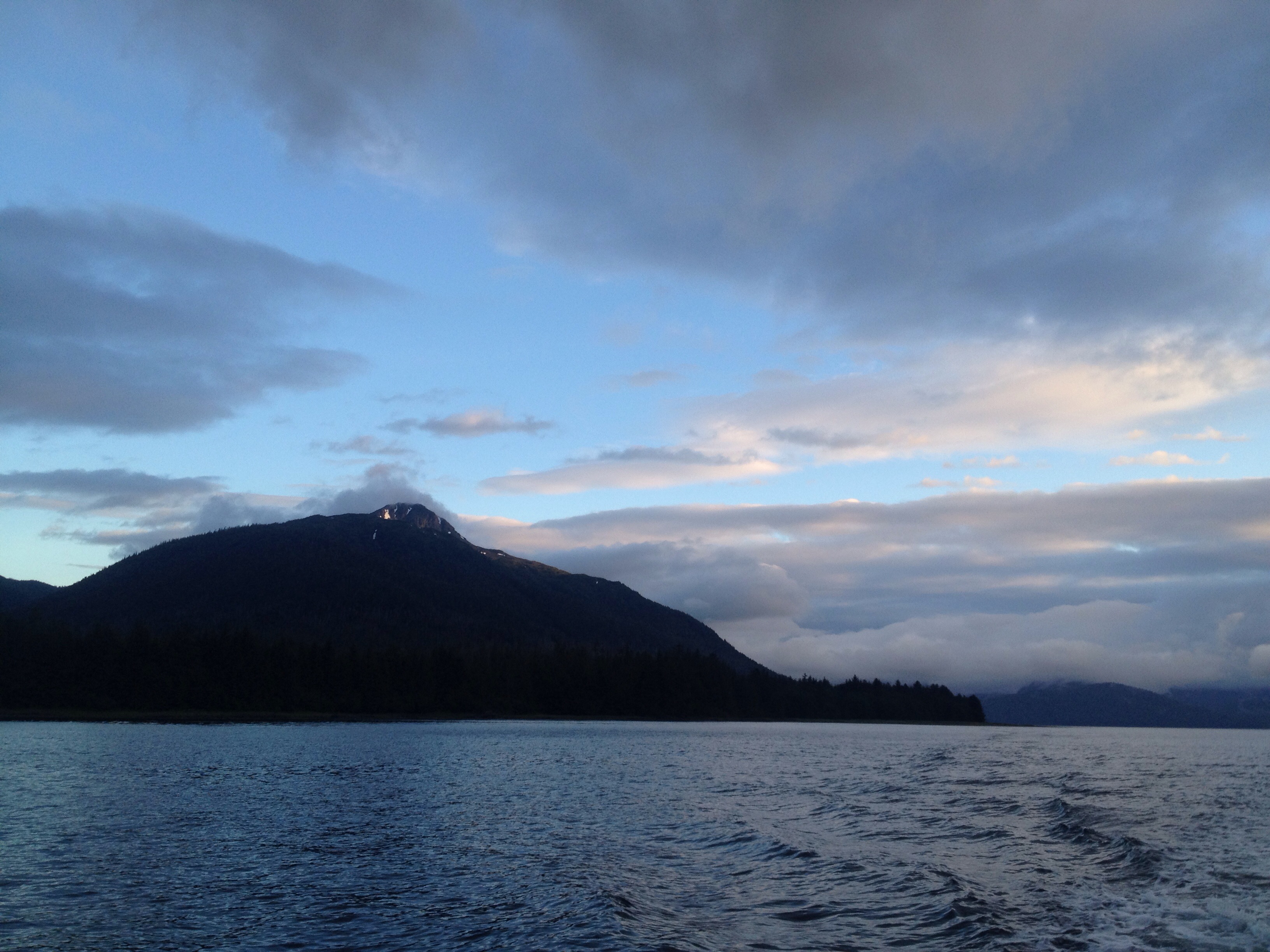
110723 Dalton Hwy AK

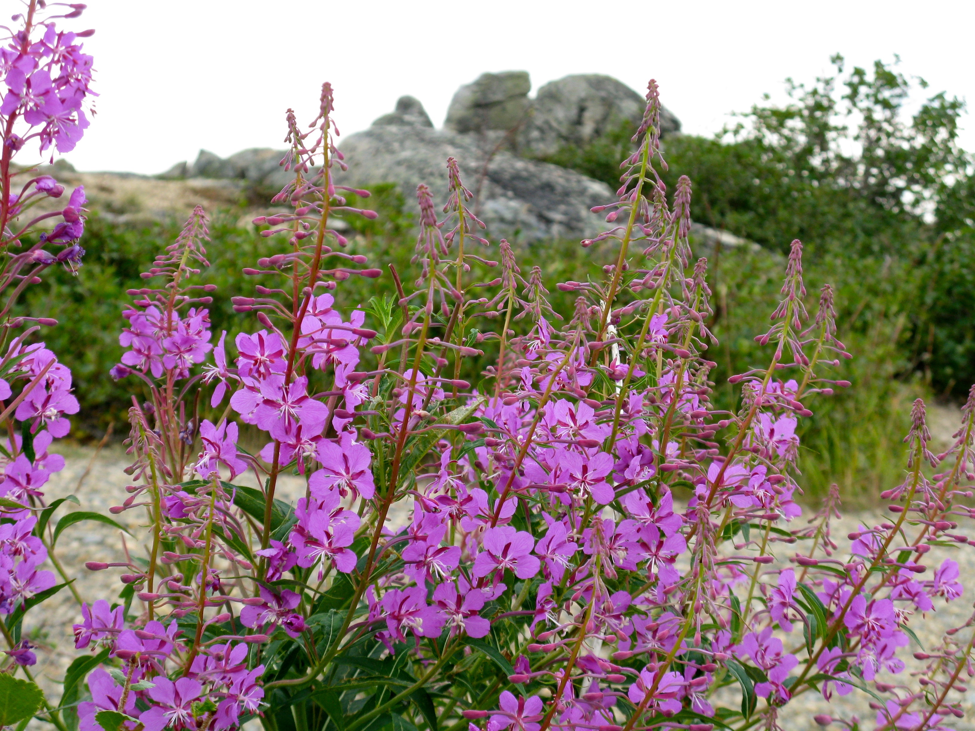
110723 Finger Mountain AK - 09
Topographic Map of Sitka, AK, USA
Find elevation by address:

Places in Sitka, AK, USA:
Places near Sitka, AK, USA:
F-99, Sitka, AK, USA
4014 Halibut Point Rd
104 Harbor Mountain Rd
113 Harbor Mountain Rd
123 Harbor Mountain Rd
3507 Halibut Point Rd
120 Darrin Dr
107 Patterson Way
105 Patterson Way
110 Sand Dollar Dr
2178 Halibut Point Rd
2180 Halibut Point Rd
2176 Halibut Point Rd
2024 Halibut Point Rd
Eberhardt Drive
Edgecumbe Drive
307 Kashevaroff St
Keet Gooshi Heen Elementary School
1301 Halibut Point Rd
1211 Halibut Point Rd
Recent Searches:
- Elevation of Corso Fratelli Cairoli, 35, Macerata MC, Italy
- Elevation of Tallevast Rd, Sarasota, FL, USA
- Elevation of 4th St E, Sonoma, CA, USA
- Elevation of Black Hollow Rd, Pennsdale, PA, USA
- Elevation of Oakland Ave, Williamsport, PA, USA
- Elevation of Pedrógão Grande, Portugal
- Elevation of Klee Dr, Martinsburg, WV, USA
- Elevation of Via Roma, Pieranica CR, Italy
- Elevation of Tavkvetili Mountain, Georgia
- Elevation of Hartfords Bluff Cir, Mt Pleasant, SC, USA