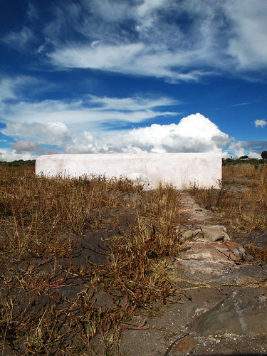
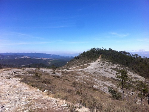
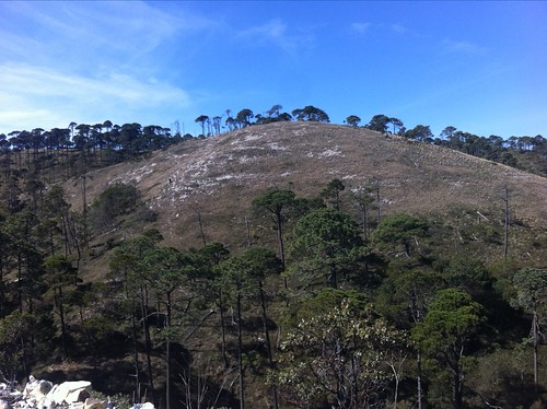
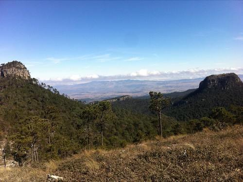
Elevation of Singuilucan, Hgo., Mexico
Location: Mexico > Hidalgo >
Longitude: -98.517924
Latitude: 19.9687857
Elevation: 2638m / 8655feet
Barometric Pressure: 73KPa
Related Photos:
Topographic Map of Singuilucan, Hgo., Mexico
Find elevation by address:

Places in Singuilucan, Hgo., Mexico:
Places near Singuilucan, Hgo., Mexico:
Cuatro Palos
Tepeapulco
Acatlán
A Rufina 41, Purero, Mineral del Monte, Hgo., Mexico
HGO 48, Tepeapulco, Hgo., Mexico
Melchor Ocampo 58, Centro, Ejido del Centro, Hgo., Mexico
Centro
Omitlán De Juárez
Huasca De Ocampo
Huasca De Ocampo
Río De La Soledad
Cabañas San Isidro
Emiliano Zapata 2, San Felipe Teotitlán, Méx., Mexico
Av Vicente Guerrero, El Venado, Pachuca de Soto, Hgo., Mexico
Real De Monte
Centro
Basaltic Prisms Of Santa María Regla
Desarrollo Soc., Jagüey de Téllez, Hgo., Mexico
Carr Pachuca-Estanzuela 35, Hidalgo, Mexico
Hacienda Santa María Regla
Recent Searches:
- Elevation of Corso Fratelli Cairoli, 35, Macerata MC, Italy
- Elevation of Tallevast Rd, Sarasota, FL, USA
- Elevation of 4th St E, Sonoma, CA, USA
- Elevation of Black Hollow Rd, Pennsdale, PA, USA
- Elevation of Oakland Ave, Williamsport, PA, USA
- Elevation of Pedrógão Grande, Portugal
- Elevation of Klee Dr, Martinsburg, WV, USA
- Elevation of Via Roma, Pieranica CR, Italy
- Elevation of Tavkvetili Mountain, Georgia
- Elevation of Hartfords Bluff Cir, Mt Pleasant, SC, USA
