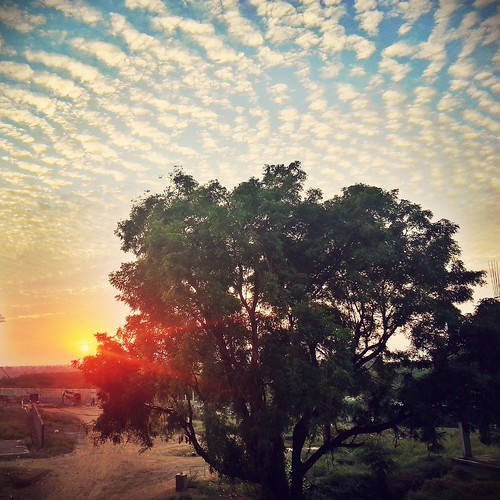
Elevation of Sindkheda, Maharashtra, India
Location: India > Maharashtra > Dhule >
Longitude: 74.7455078
Latitude: 21.2725651
Elevation: 164m / 538feet
Barometric Pressure: 99KPa
Related Photos:
Topographic Map of Sindkheda, Maharashtra, India
Find elevation by address:

Places near Sindkheda, Maharashtra, India:
Dabhashi
Varul
Shirpur
Dangurne
Sendhwa
Chopda
Barwani
Julwania
Barwani
Segaon
Bhagwanpura
Khargone
Gogawan
Shahpura[gogaon]
Kasrawad
Hotel Shri Sharnam, Maheshwar
Maheshwar
Khargone
Mandav
Sagur
Recent Searches:
- Elevation of Corso Fratelli Cairoli, 35, Macerata MC, Italy
- Elevation of Tallevast Rd, Sarasota, FL, USA
- Elevation of 4th St E, Sonoma, CA, USA
- Elevation of Black Hollow Rd, Pennsdale, PA, USA
- Elevation of Oakland Ave, Williamsport, PA, USA
- Elevation of Pedrógão Grande, Portugal
- Elevation of Klee Dr, Martinsburg, WV, USA
- Elevation of Via Roma, Pieranica CR, Italy
- Elevation of Tavkvetili Mountain, Georgia
- Elevation of Hartfords Bluff Cir, Mt Pleasant, SC, USA
