Elevation of Similaun
Location: Italy > Trentino-alto Adige/south Tyrol > Province Of Bolzano - South Tyrol >
Longitude: 10.88068
Latitude: 46.7637066
Elevation: 3312m / 10866feet
Barometric Pressure: 67KPa
Elevation Map:
Satellite Map:
Related Photos:
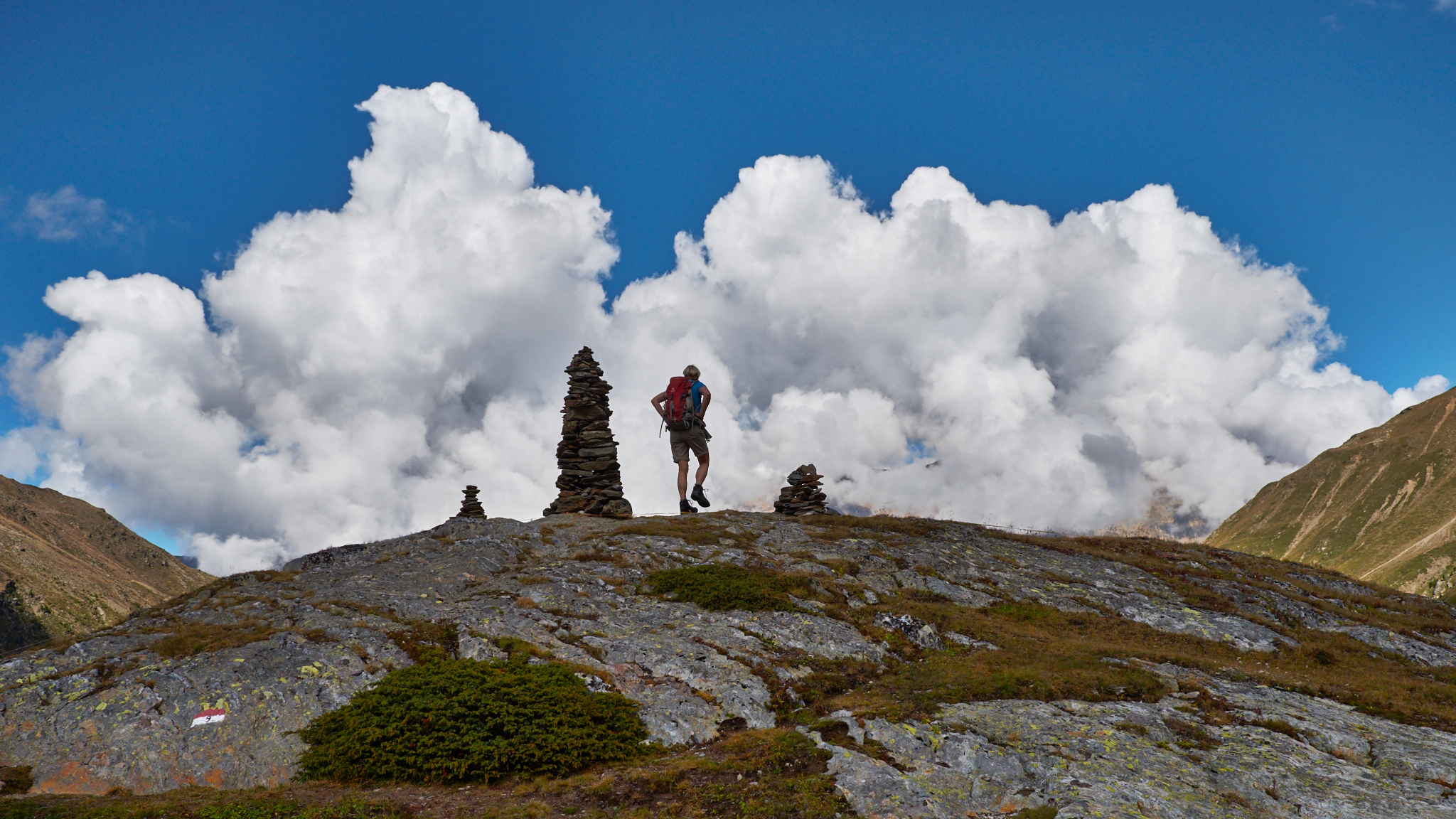
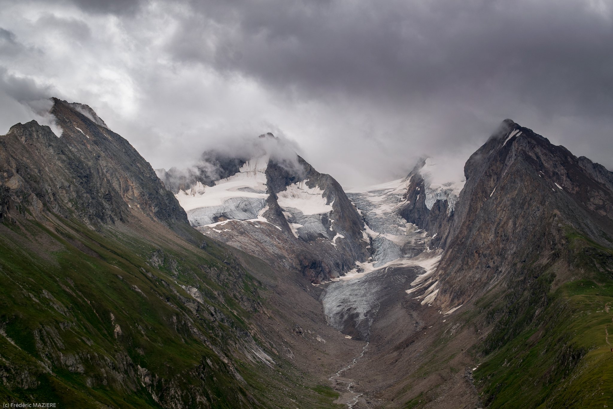
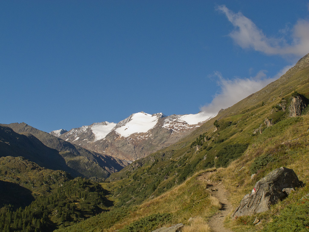
Steinmänchen
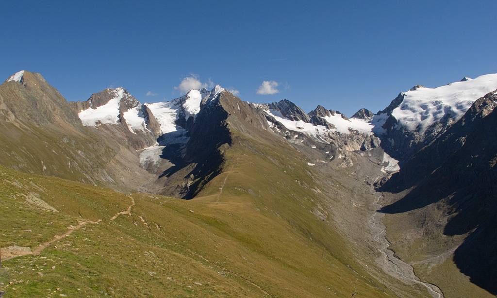
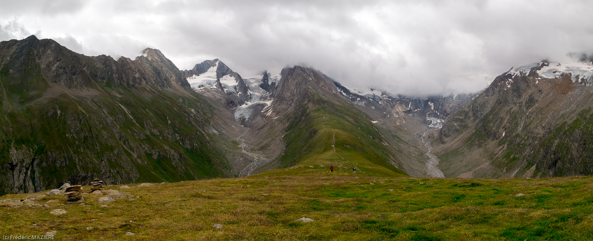
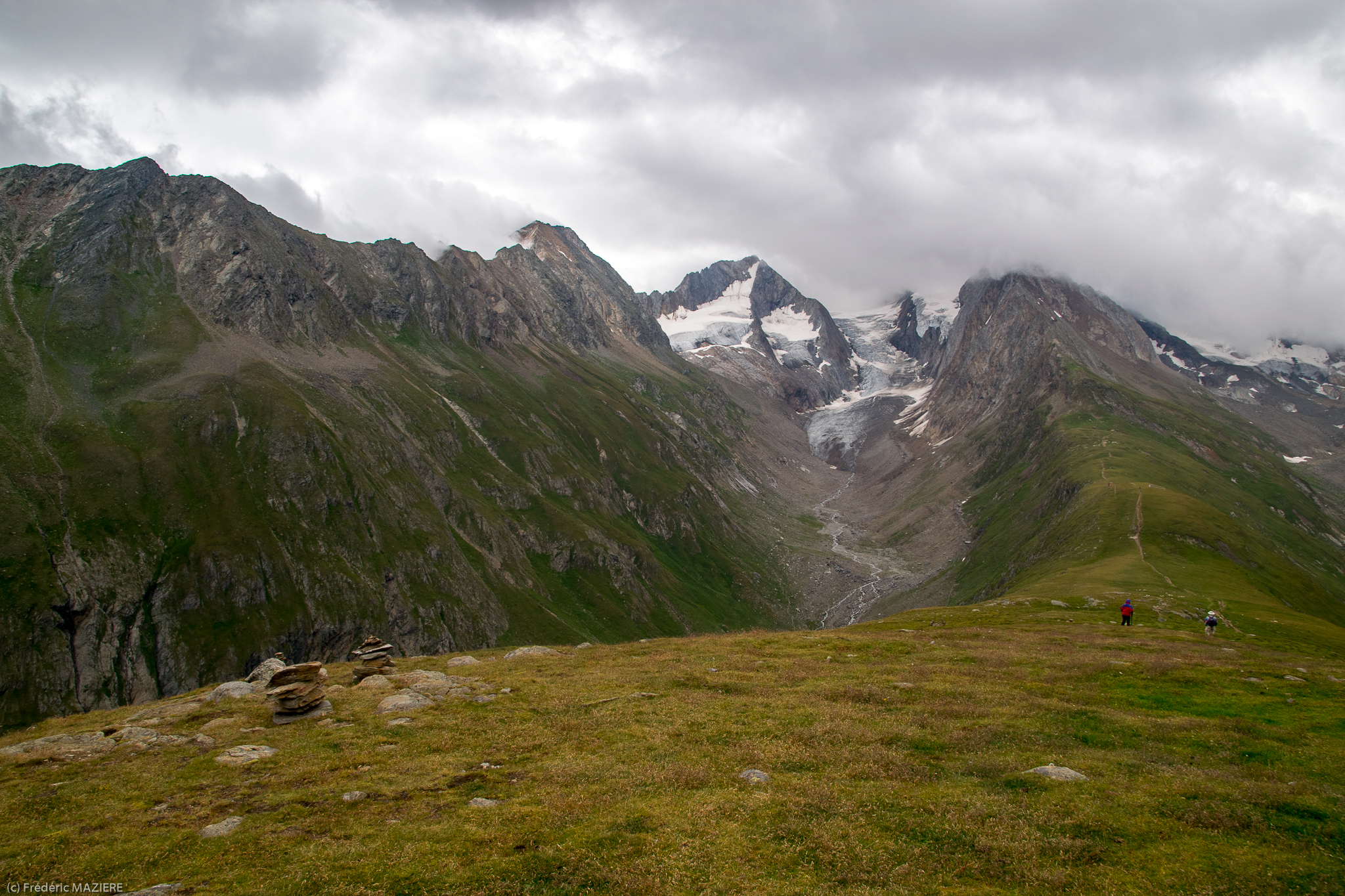
View from the Hohe Mut Alm
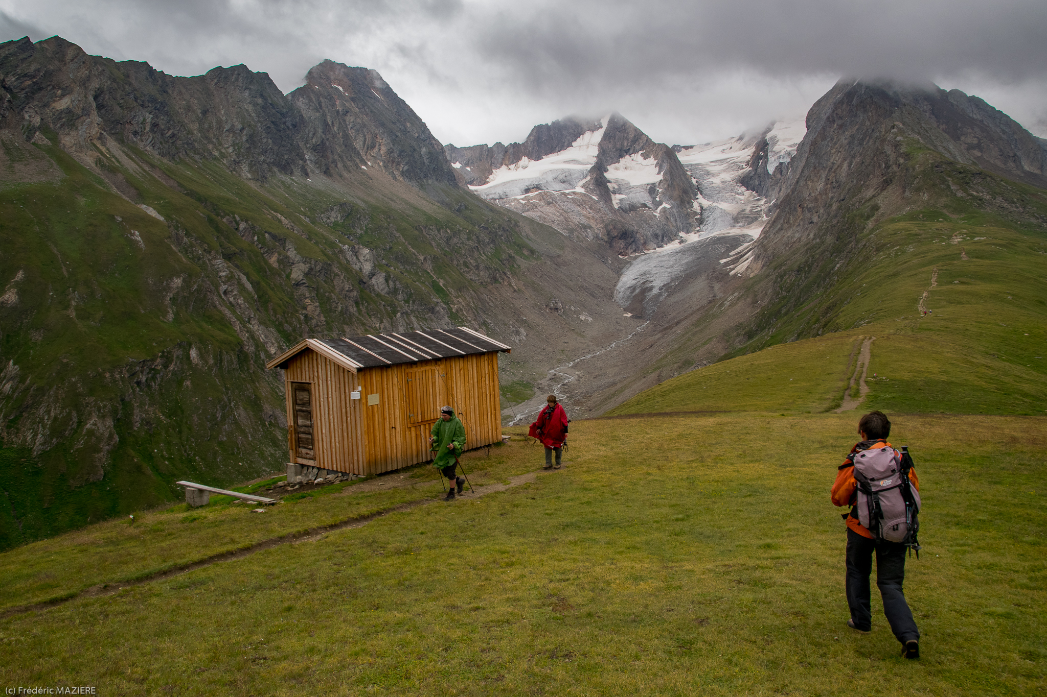
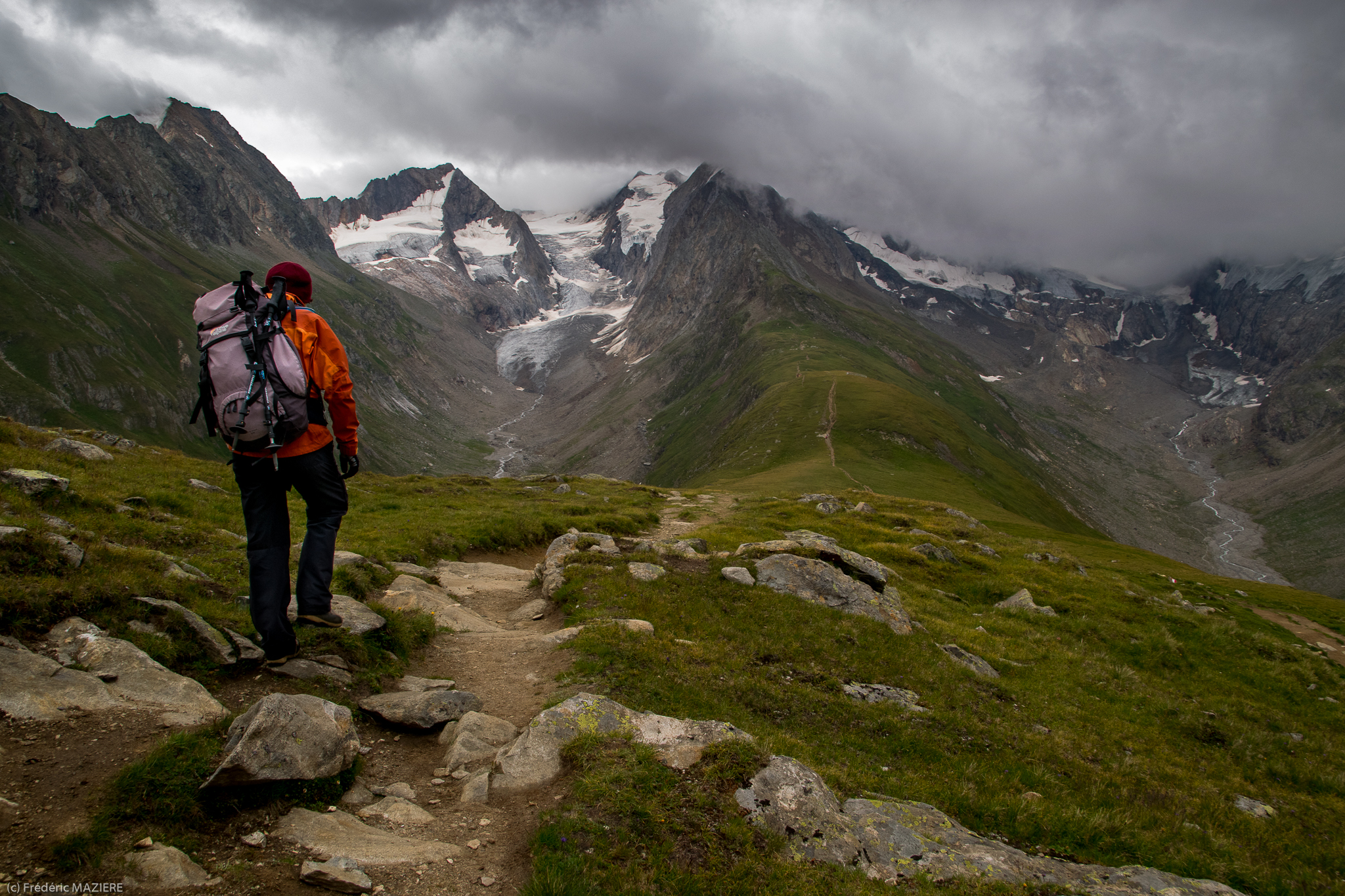
The view with our swift drink - Obergurgl hols - day 11
Höhe Mut
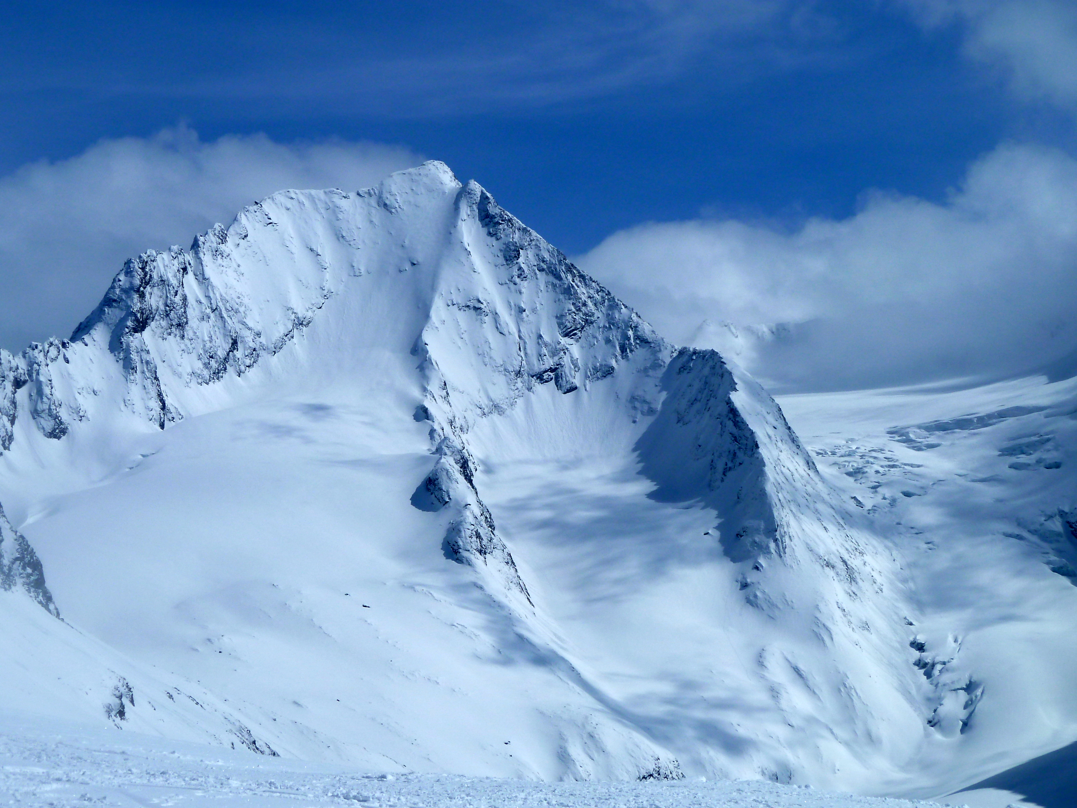
Ötztaler Alpen
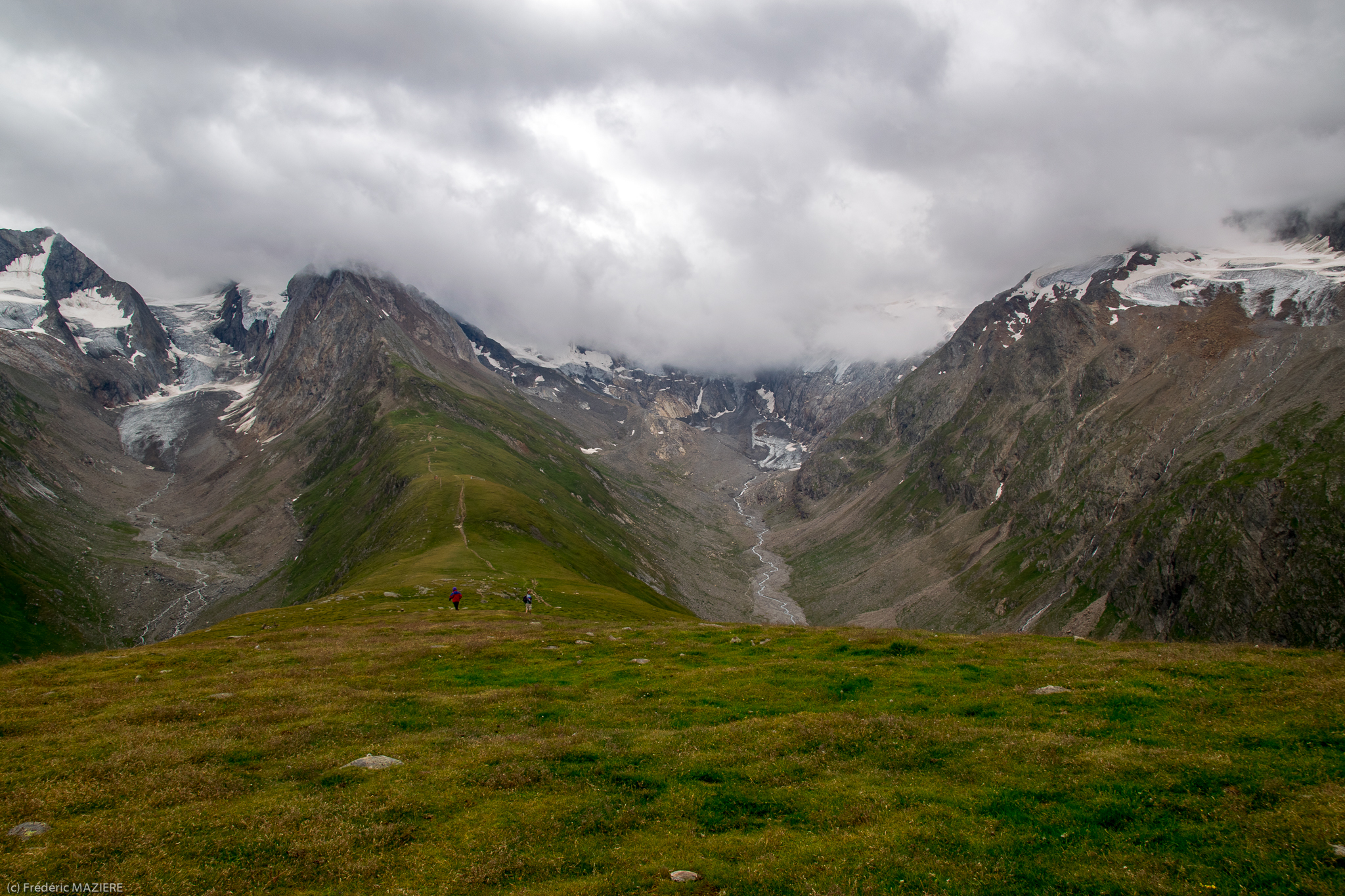
Höhe Mut
Höhe Mut
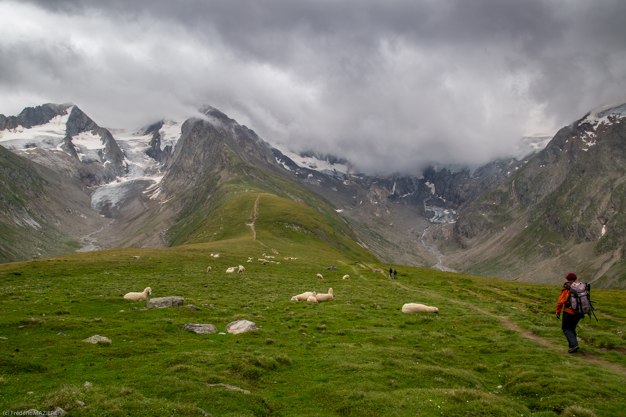
Höhe Mut
Höhe Mut
Höhe Mut

Höhe Mut
Ötztaler Alpen
Höhe Mut
Höhe Mut
Höhe Mut
Höhe Mut
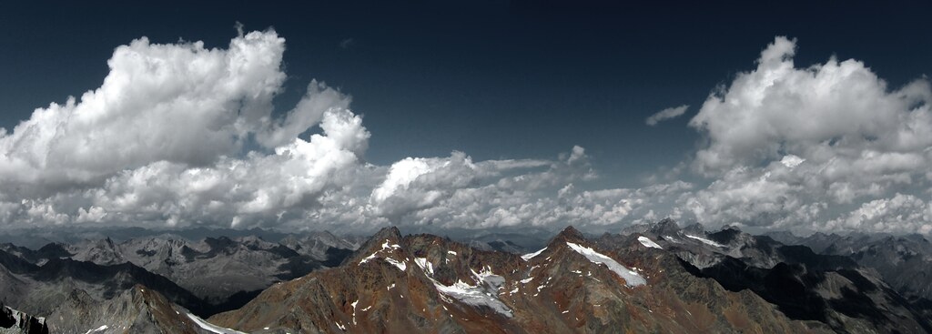
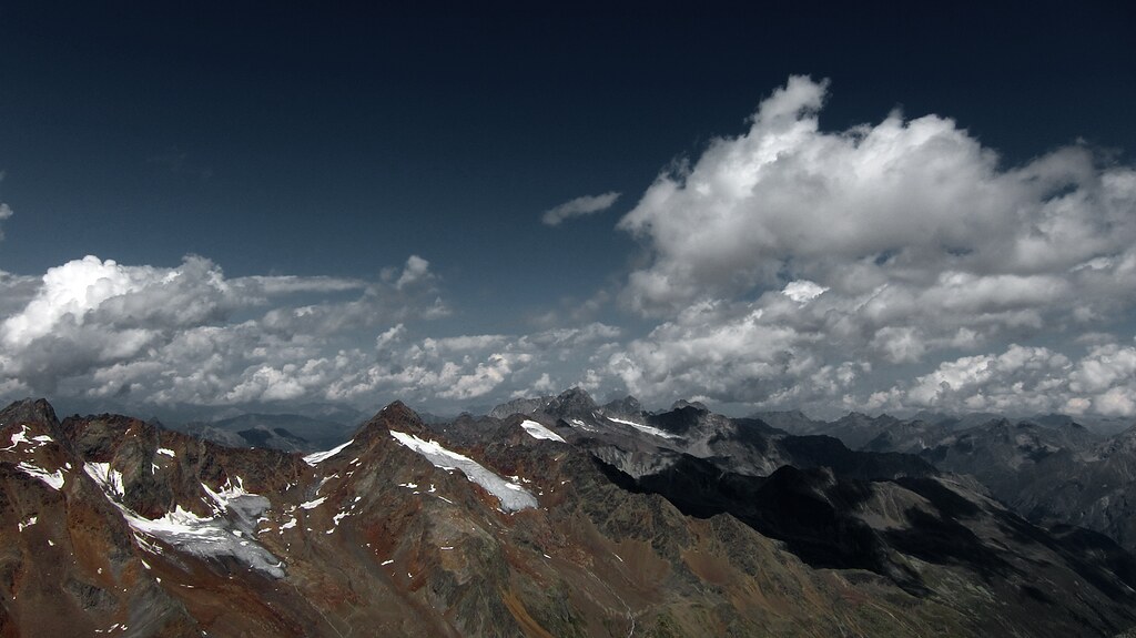
Ötztaler Alpen

Au-dessus d'Obergurgl, vallée de l'Ötztal, commune de Sölden, district d'Imst, Tyrol, Autriche.
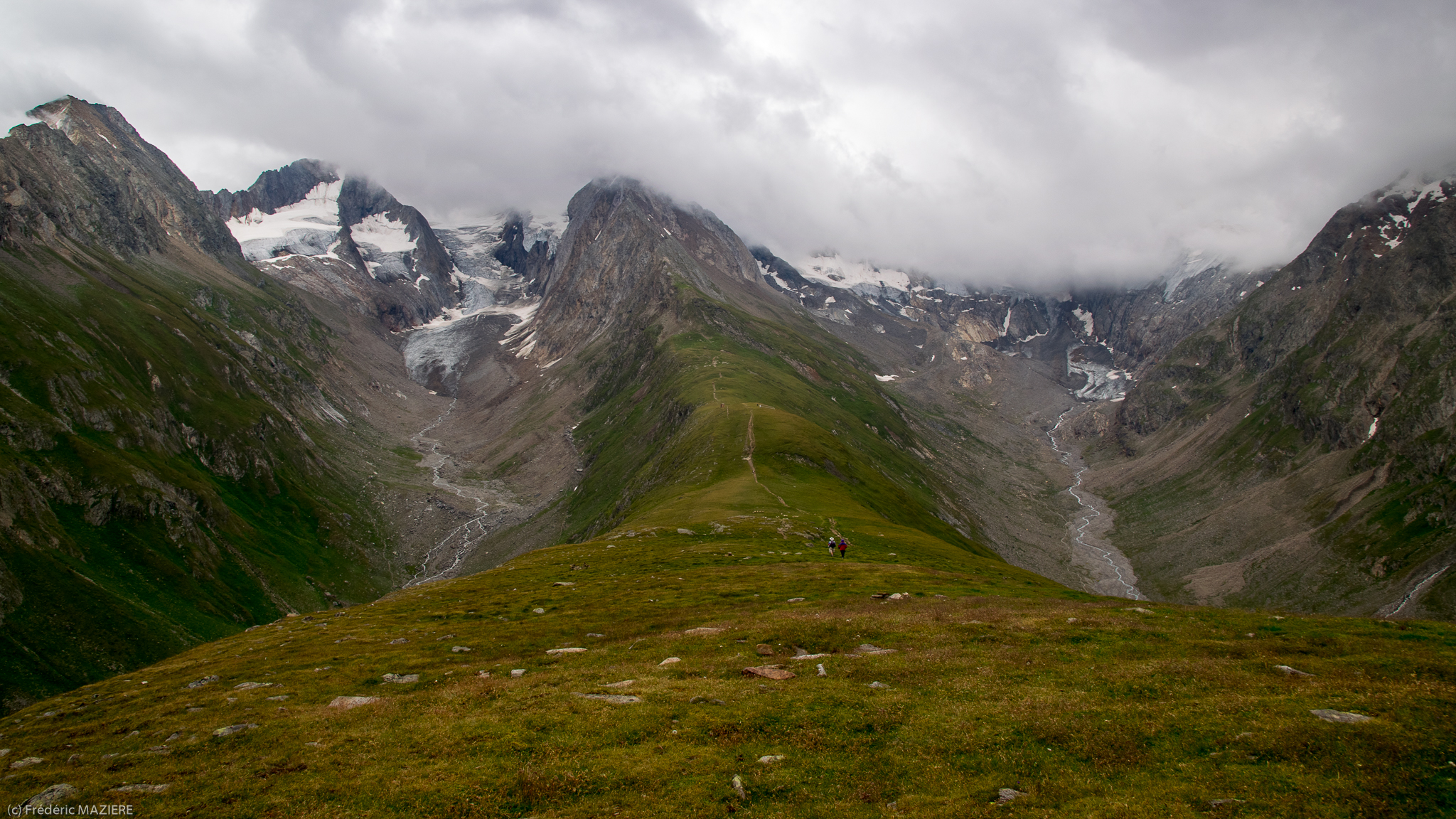
Up the valley (Obergurgl Hols - Walk 10)

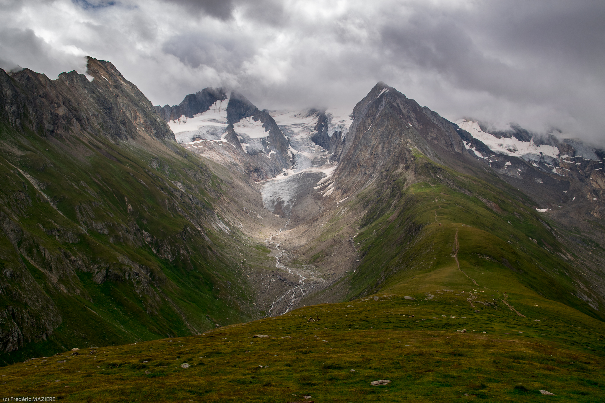
The path
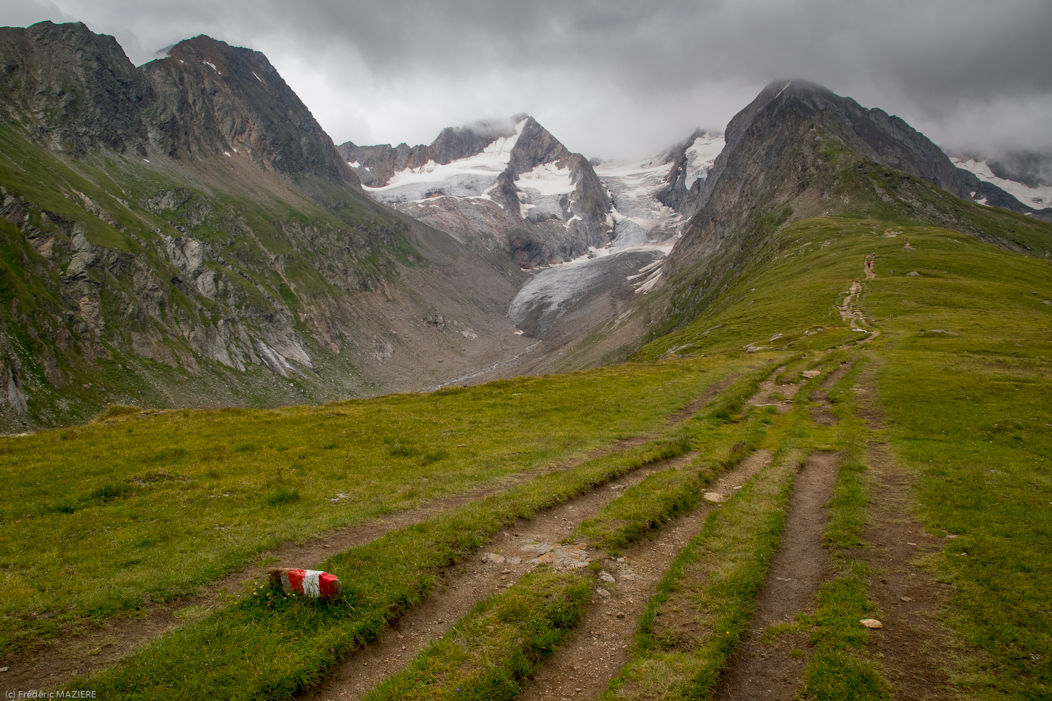
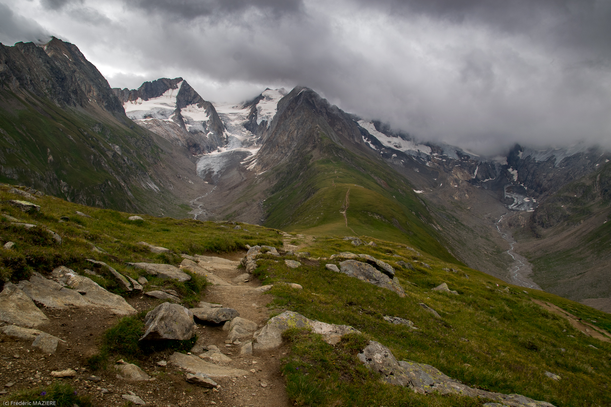
Höhe Mut
Topographic Map of Similaun
Find elevation by address:

Places near Similaun:
Sennkogel
Grawand
Vorderer Brochkogel
Im Hinteren Eis
Wildspitze
Petersenspitze
Ehrichspitze
Schwemser Spitze
Vordere Ölgrubenspitze
Bliggspitze
Äußerer Bärenbartkogel
Rabenkopf
Valvelspitze
Plattigkopf
Radurschl, Pfunds, Austria
Nauderer Hennesiglspitze
Frazione Caprone, 55, Curon Venosta BZ, Italy
Graun Im Vinschgau
Endkopf
Recent Searches:
- Elevation of Corso Fratelli Cairoli, 35, Macerata MC, Italy
- Elevation of Tallevast Rd, Sarasota, FL, USA
- Elevation of 4th St E, Sonoma, CA, USA
- Elevation of Black Hollow Rd, Pennsdale, PA, USA
- Elevation of Oakland Ave, Williamsport, PA, USA
- Elevation of Pedrógão Grande, Portugal
- Elevation of Klee Dr, Martinsburg, WV, USA
- Elevation of Via Roma, Pieranica CR, Italy
- Elevation of Tavkvetili Mountain, Georgia
- Elevation of Hartfords Bluff Cir, Mt Pleasant, SC, USA