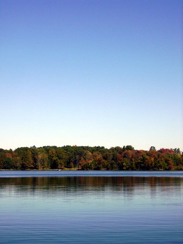
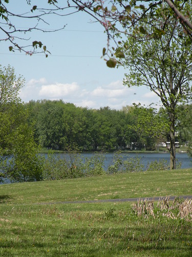
Elevation of Silver Lake, IN, USA
Location: United States > Indiana > Kosciusko County > Lake Township >
Longitude: -85.891657
Latitude: 41.0722663
Elevation: 276m / 906feet
Barometric Pressure: 98KPa
Related Photos:
Topographic Map of Silver Lake, IN, USA
Find elevation by address:

Places in Silver Lake, IN, USA:
Places near Silver Lake, IN, USA:
E Main St, Silver Lake, IN, USA
Lake Township
S Main St, Claypool, IN, USA
Claypool
Seward Township
7589 W Swick Rd
Pleasant Township
S Packerton Rd, Claypool, IN, USA
Laketon
40 N Main St, Laketon, IN, USA
W S, Akron, IN, USA
W Sr 14, Akron, IN, USA
21 W Geary St, North Manchester, IN, USA
Sevastopol
Akron
Franklin Township
8345 State Rte 19
Henry Township
61 S E, Rochester, IN, USA
Recent Searches:
- Elevation of Corso Fratelli Cairoli, 35, Macerata MC, Italy
- Elevation of Tallevast Rd, Sarasota, FL, USA
- Elevation of 4th St E, Sonoma, CA, USA
- Elevation of Black Hollow Rd, Pennsdale, PA, USA
- Elevation of Oakland Ave, Williamsport, PA, USA
- Elevation of Pedrógão Grande, Portugal
- Elevation of Klee Dr, Martinsburg, WV, USA
- Elevation of Via Roma, Pieranica CR, Italy
- Elevation of Tavkvetili Mountain, Georgia
- Elevation of Hartfords Bluff Cir, Mt Pleasant, SC, USA
