Elevation of Silva, MO, USA
Location: United States > Missouri > Wayne County > St. Francois Township >
Longitude: -90.463725
Latitude: 37.1761626
Elevation: 124m / 407feet
Barometric Pressure: 100KPa
Elevation Map:
Satellite Map:
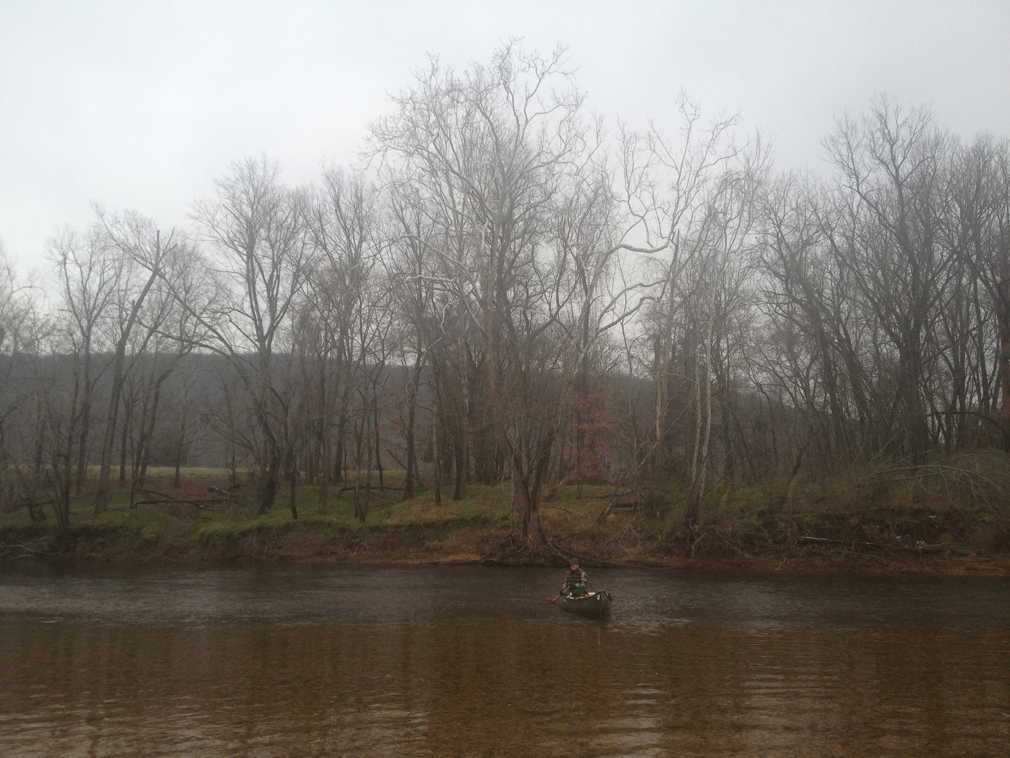
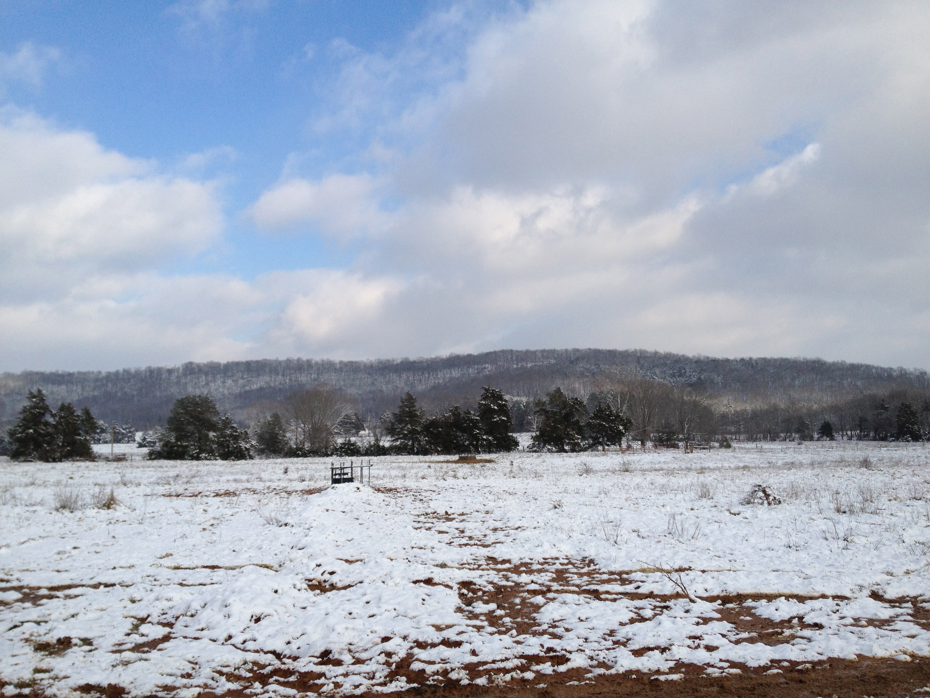
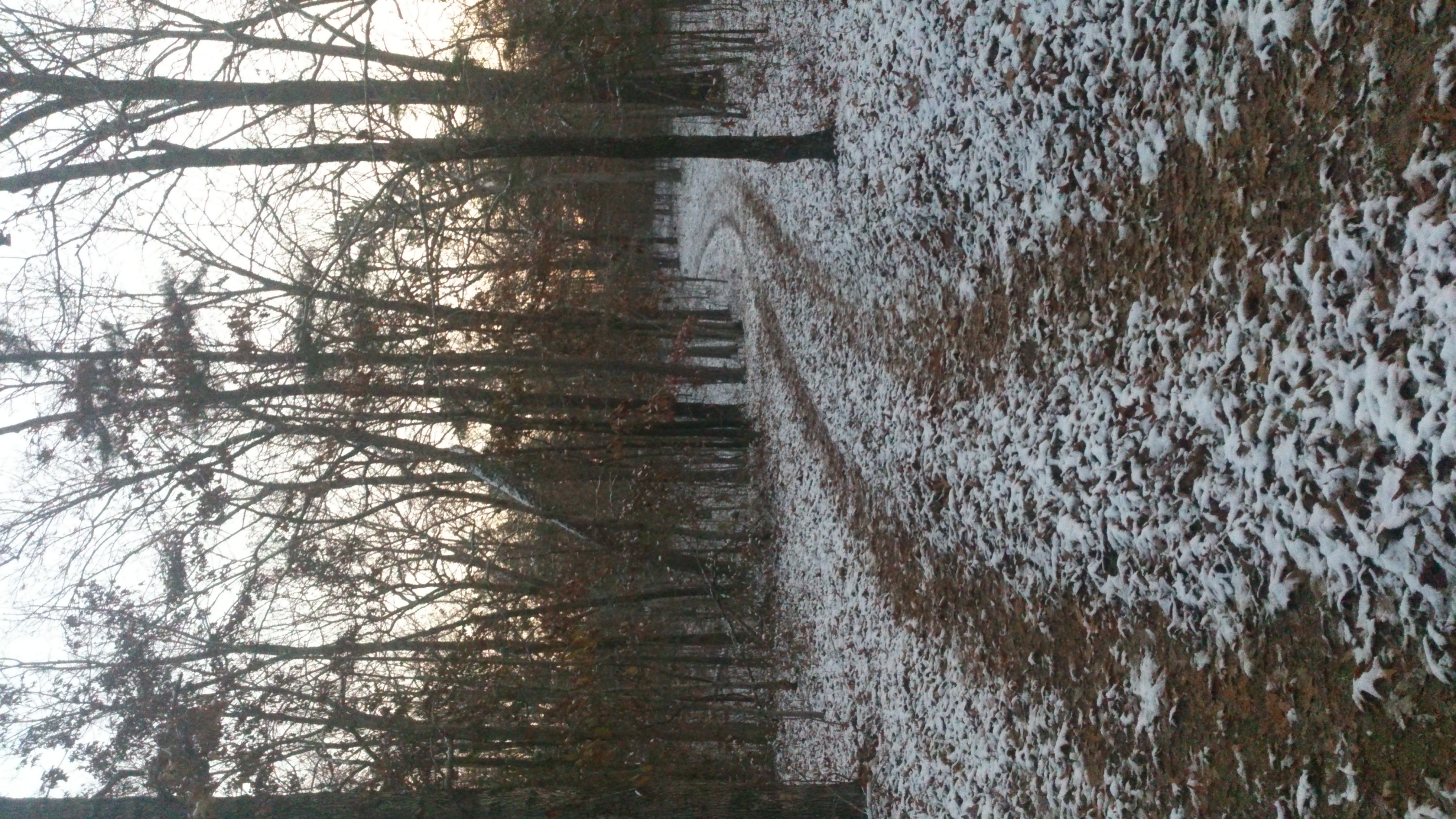
Related Photos:
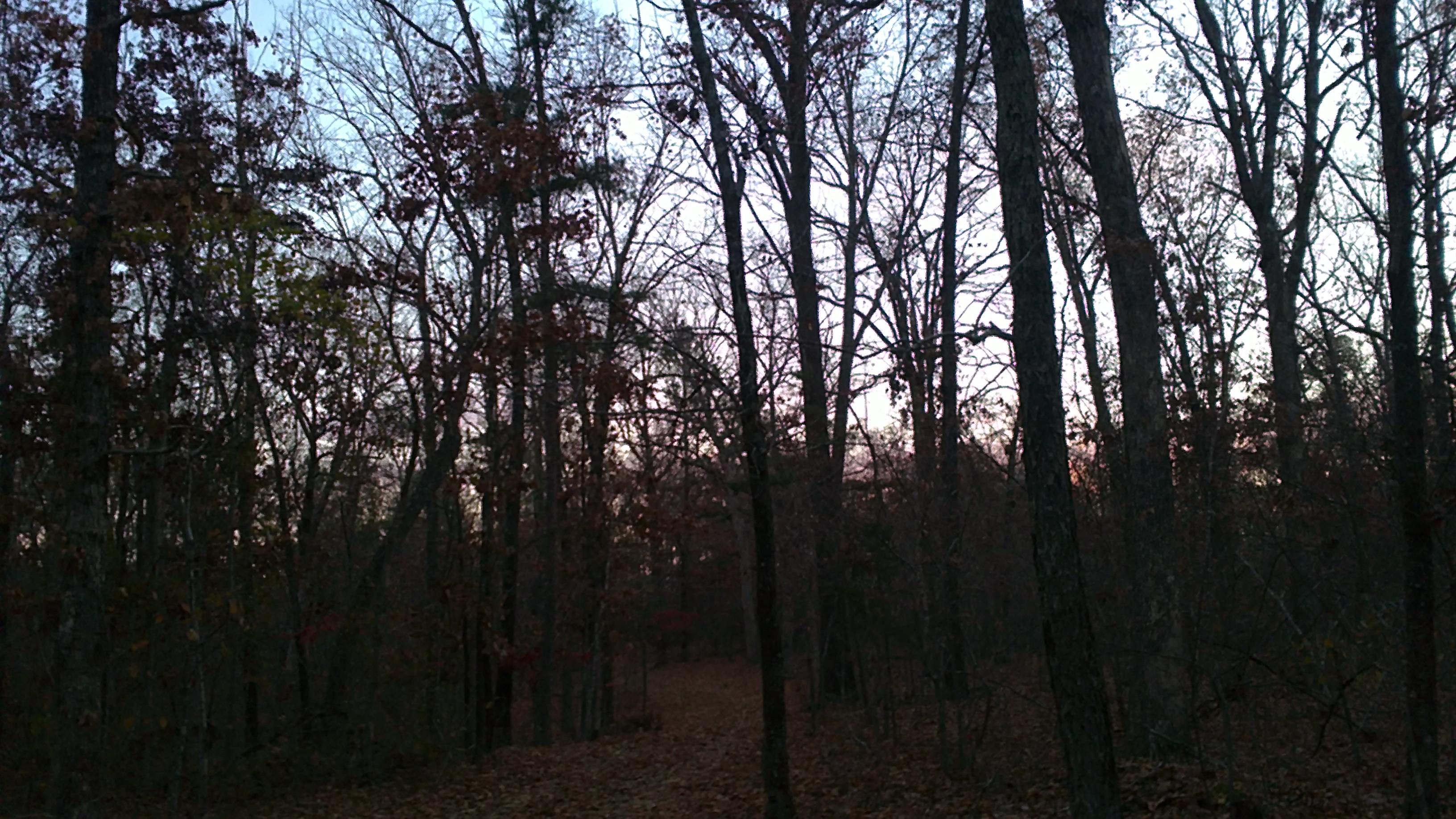
Sunset in the woods

A stroll down memory lane.
New Year 2012/2013
New Year 2012/2013

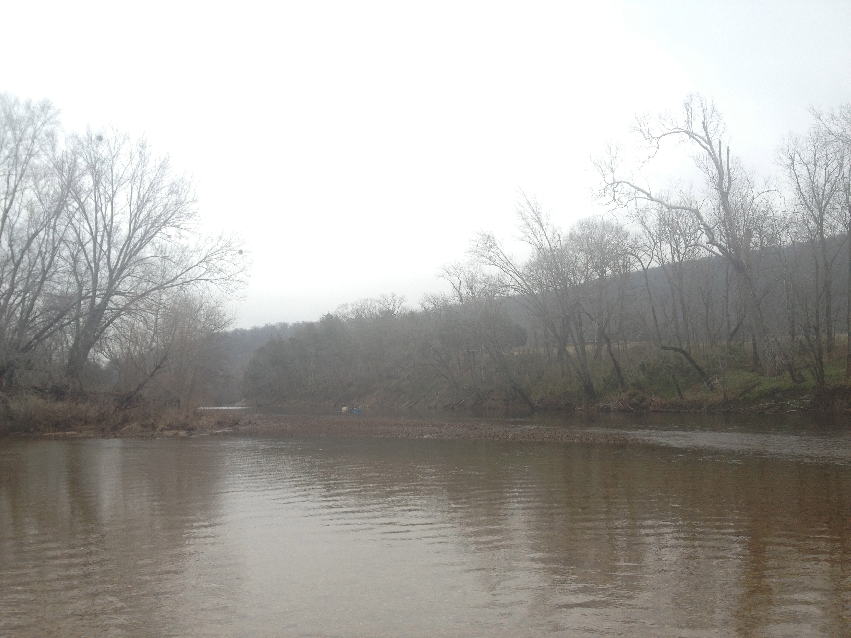
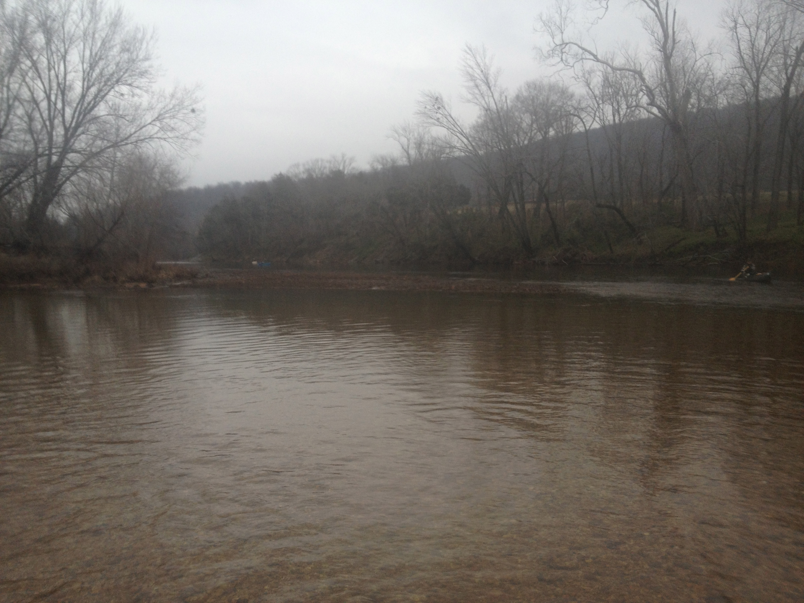
Graves Mountain Conservation Area, Missouri 02
New Year 2012/2013

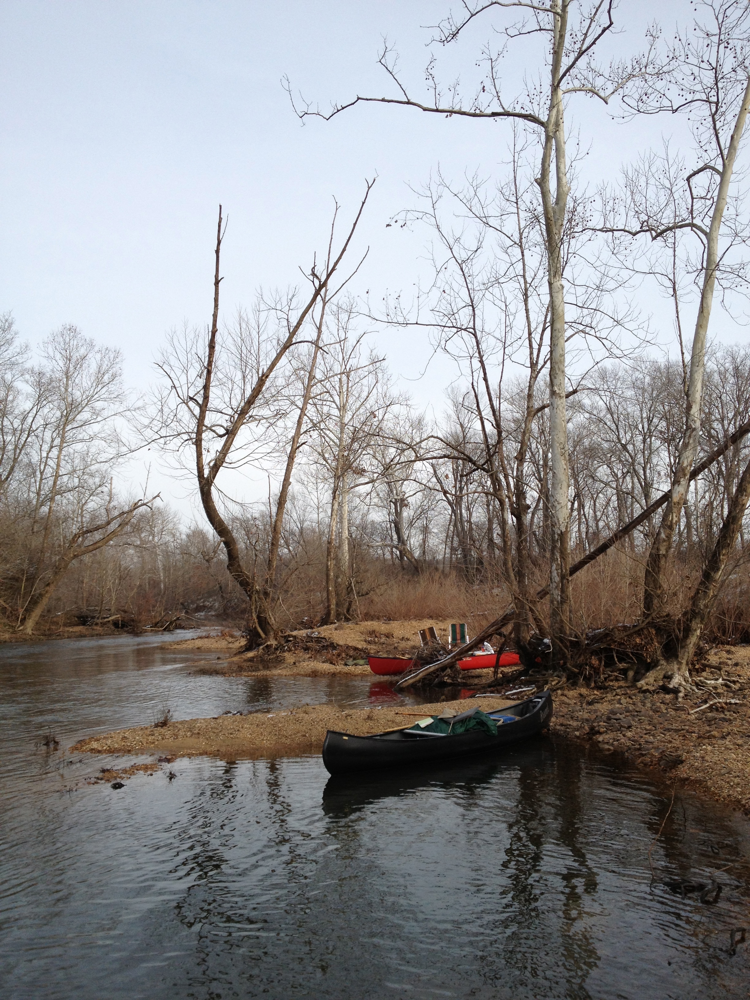
lots of memories here. I wanna go camping again soon
New Year 2012/2013
Brunot in the snow

Rifle Whitetail season 2014 at the cabin
Rifle Whitetail season 2014 at the cabin
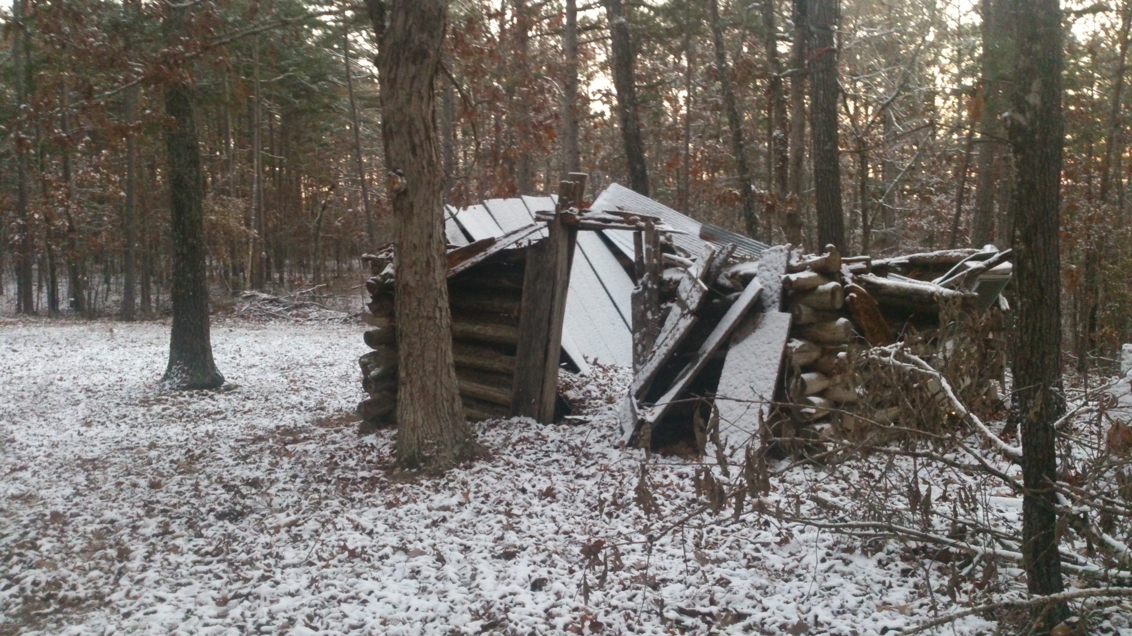
Rifle Whitetail season 2014 at the cabin

Rendezvous Mustache
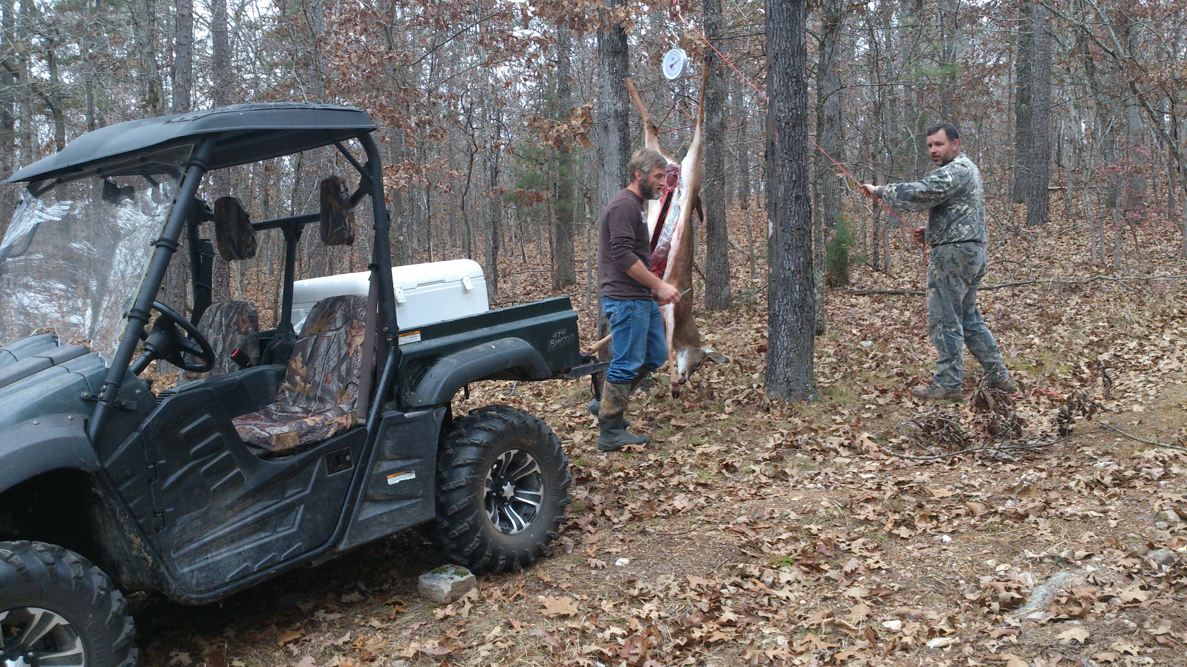
Processing the deer. 110 lbs. field dressed.

Resting after a big days hike.

At the top of Mudlick Mountain.
Topographic Map of Silva, MO, USA
Find elevation by address:

Places in Silva, MO, USA:
Places near Silva, MO, USA:
Maple St, Greenville, MO, USA
Greenville
St. Francois Township
Patterson
2459 Wayne County 312
State Hwy E, Silva, MO, USA
Logan Township
MO-34, Silva, MO, USA
State Hwy F, Greenville, MO, USA
Wayne County
Black River Township
US-67, Fredericktown, MO, USA
Liberty Township
Union Township
Co Rd, Annapolis, MO, USA
Lost Creek Township
Clayton Road
Clayton Lane
Piso Point Road
Deep Valley Road
Recent Searches:
- Elevation of Corso Fratelli Cairoli, 35, Macerata MC, Italy
- Elevation of Tallevast Rd, Sarasota, FL, USA
- Elevation of 4th St E, Sonoma, CA, USA
- Elevation of Black Hollow Rd, Pennsdale, PA, USA
- Elevation of Oakland Ave, Williamsport, PA, USA
- Elevation of Pedrógão Grande, Portugal
- Elevation of Klee Dr, Martinsburg, WV, USA
- Elevation of Via Roma, Pieranica CR, Italy
- Elevation of Tavkvetili Mountain, Georgia
- Elevation of Hartfords Bluff Cir, Mt Pleasant, SC, USA