Elevation of Sillod, Maharashtra, India
Location: India > Maharashtra > Aurangabad >
Longitude: 75.6528116
Latitude: 20.3079382
Elevation: 621m / 2037feet
Barometric Pressure: 94KPa
Elevation Map:
Satellite Map:
Related Photos:

Vijay Kasture
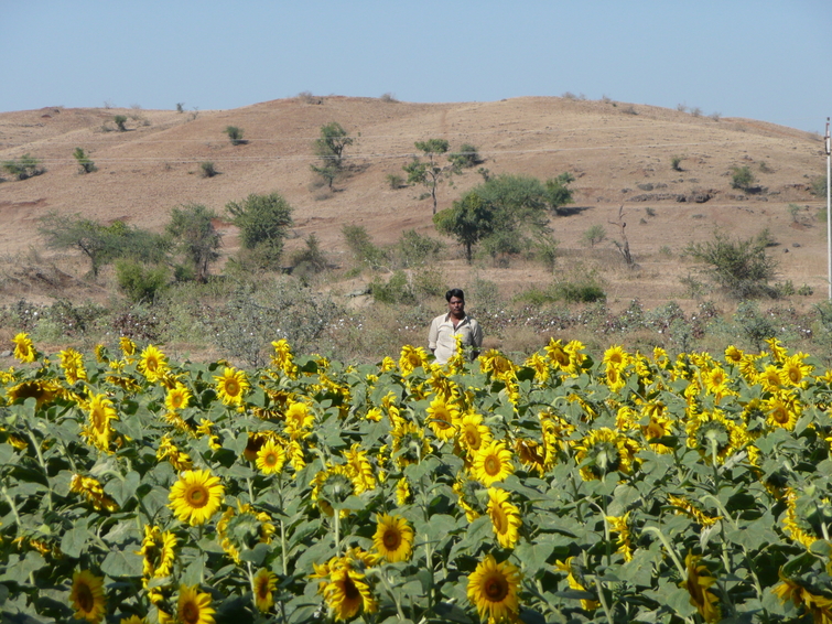
Indian Sunflowers

stopping for tea after Ajanta caves
Topographic Map of Sillod, Maharashtra, India
Find elevation by address:

Places near Sillod, Maharashtra, India:
Bhokardan
Soygaon
Phulambri
Badnapur
Pachora
Jamner
Kannad
Khuldabad
Jalna
Aurangabad
5-5-66
Samta Nagar
Khuldabad
Ellora Caves
Bhadgaon
Aagra Tajmahal
Maharashtra
Badapur
Daulatabad
Marathwada Institute Of Technology,aurangabad
Recent Searches:
- Elevation of Corso Fratelli Cairoli, 35, Macerata MC, Italy
- Elevation of Tallevast Rd, Sarasota, FL, USA
- Elevation of 4th St E, Sonoma, CA, USA
- Elevation of Black Hollow Rd, Pennsdale, PA, USA
- Elevation of Oakland Ave, Williamsport, PA, USA
- Elevation of Pedrógão Grande, Portugal
- Elevation of Klee Dr, Martinsburg, WV, USA
- Elevation of Via Roma, Pieranica CR, Italy
- Elevation of Tavkvetili Mountain, Georgia
- Elevation of Hartfords Bluff Cir, Mt Pleasant, SC, USA