Elevation of Sierra La Santa Cruz, Chihuahua, Mexico
Location: Mexico > Chihuahua > Ojinaga Municipality >
Longitude: -104.37194
Latitude: 29.4927778
Elevation: 960m / 3150feet
Barometric Pressure: 90KPa
Elevation Map:
Satellite Map:
Related Photos:
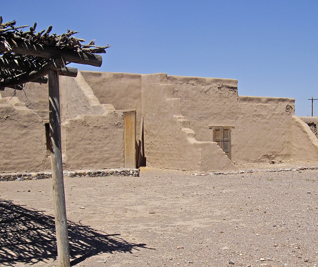
Fort Leaton, Texas
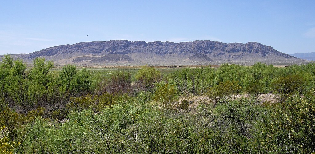
View from Fort Leaton
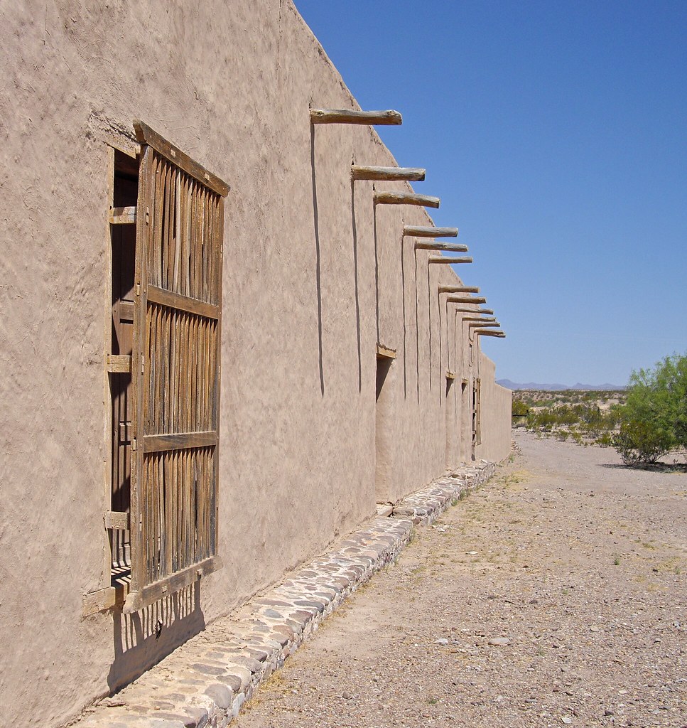
Fort Leaton
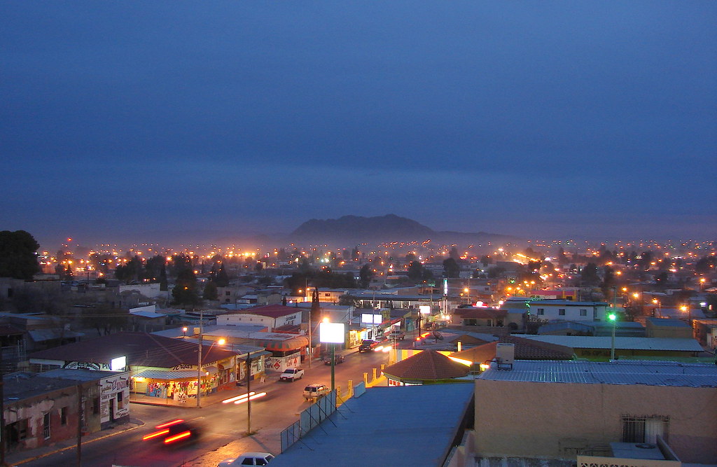
OJINAGA CHIHUAHUA.
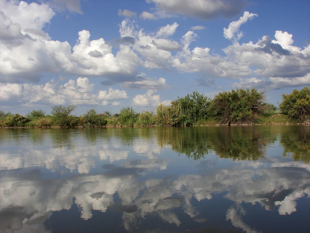
ANTIGUO CAUCE DEL RIO BRAVO, OJINAGA CHIHUAHUA.
Antiguo Cauce del rio Bravo.
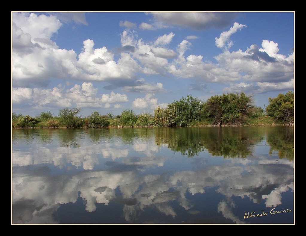
ANTIGUO CAUCE DEL RIO BRAVO, OJINAGA CHIHUAHUA. BAHIA DE COCHINOS
15 de Septiembre, dia negro en Ojinaga
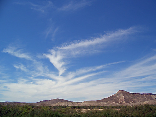
Texas Sky
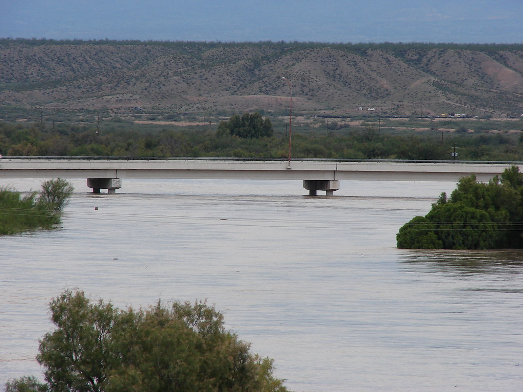
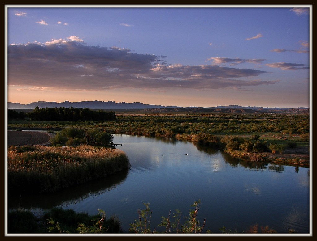
puente internacional de Ojinaga-Presidio
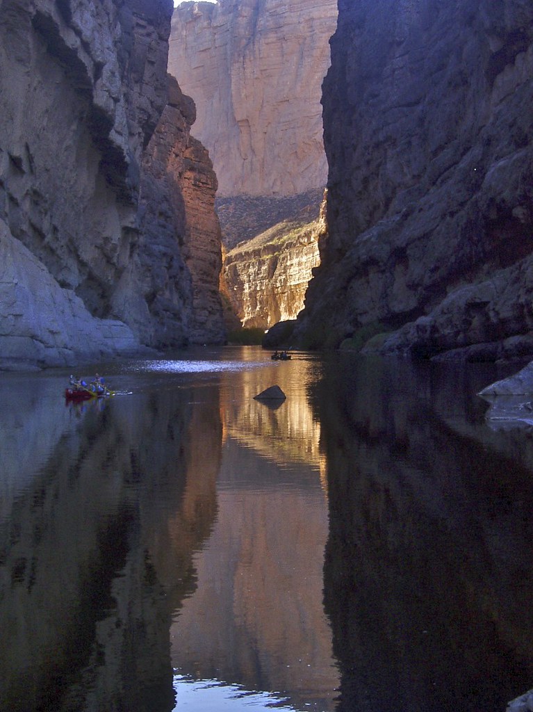
Canyon of the Rio Grande, Big Bend Ranch State Park
BAHIA DE COCHINOS

Big Bend 2010 Motorcycle Touring
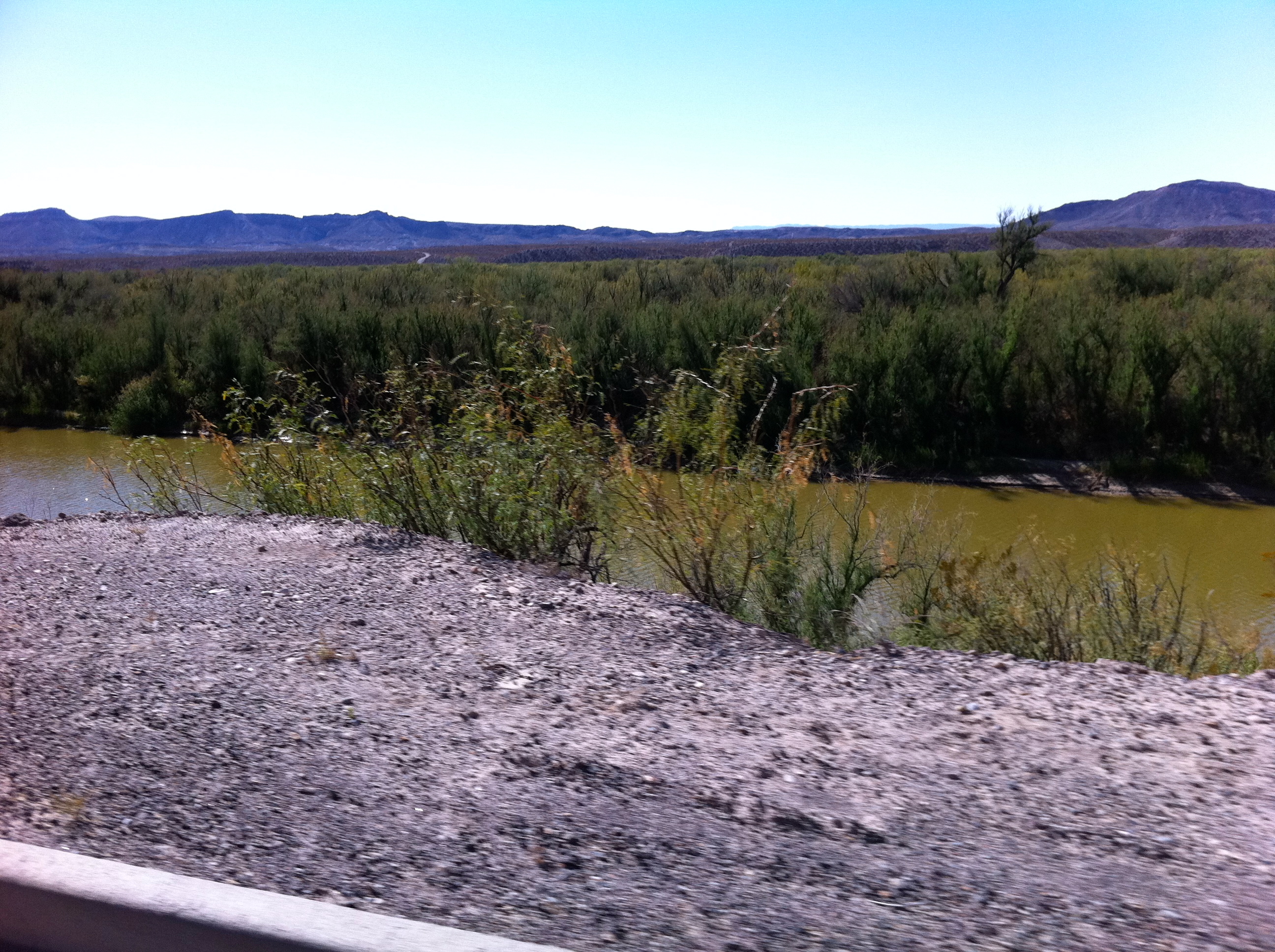
Big Bend 2010 Motorcycle Touring
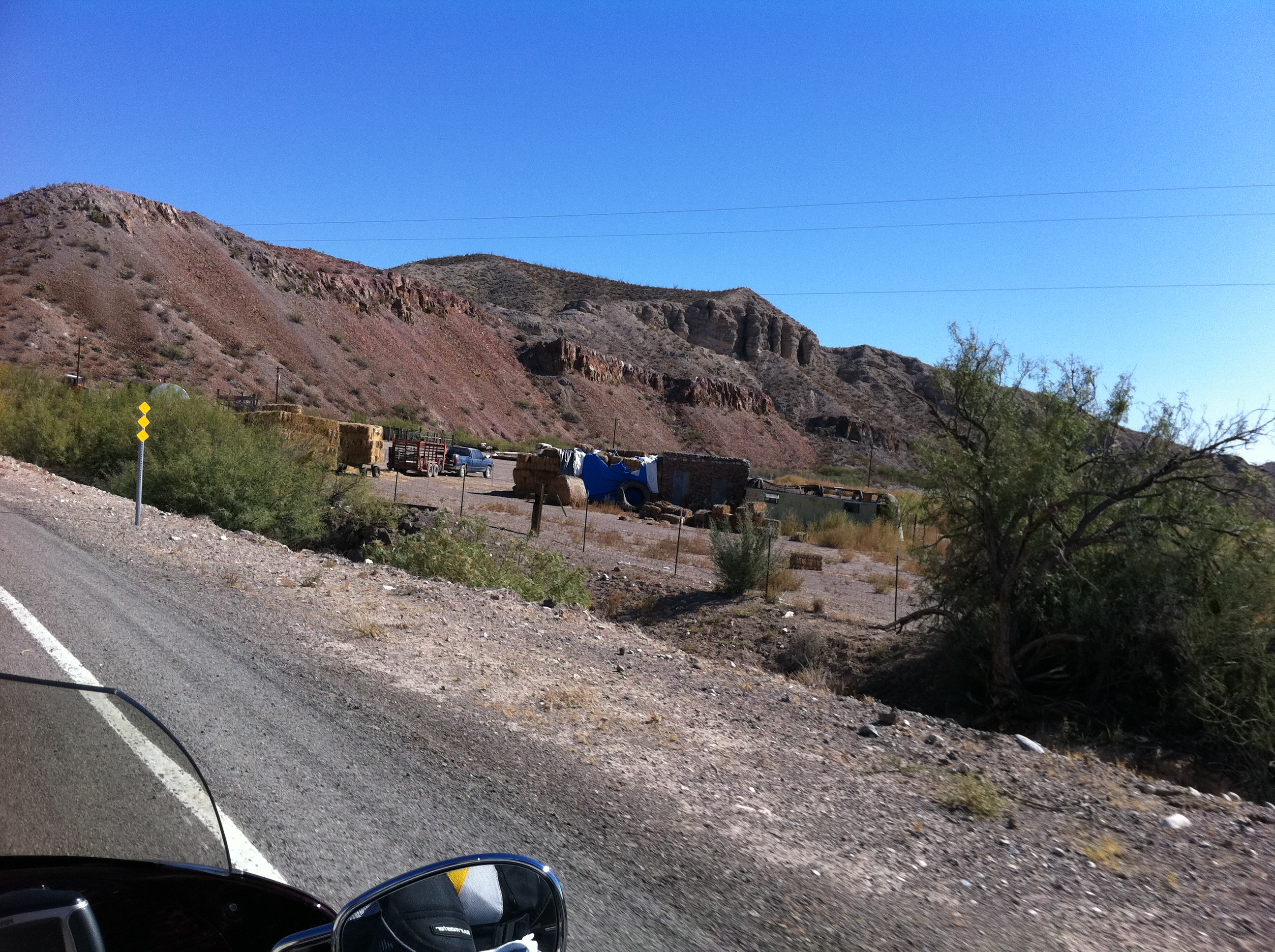
Big Bend 2010 Motorcycle Touring
ANTIGUIO CAUCE RIO BRAVO
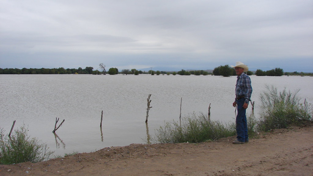
COMUNIDAD LA ESMERALDA OJINAGA
Topographic Map of Sierra La Santa Cruz, Chihuahua, Mexico
Find elevation by address:

Places near Sierra La Santa Cruz, Chihuahua, Mexico:
Recent Searches:
- Elevation of Corso Fratelli Cairoli, 35, Macerata MC, Italy
- Elevation of Tallevast Rd, Sarasota, FL, USA
- Elevation of 4th St E, Sonoma, CA, USA
- Elevation of Black Hollow Rd, Pennsdale, PA, USA
- Elevation of Oakland Ave, Williamsport, PA, USA
- Elevation of Pedrógão Grande, Portugal
- Elevation of Klee Dr, Martinsburg, WV, USA
- Elevation of Via Roma, Pieranica CR, Italy
- Elevation of Tavkvetili Mountain, Georgia
- Elevation of Hartfords Bluff Cir, Mt Pleasant, SC, USA