Elevation of Siege Peak, Columbia-Shuswap A, BC V0A, Canada
Location: Canada > British Columbia > Columbia-shuswap > Columbia-shuswap A >
Longitude: -117.845
Latitude: 52.4183333
Elevation: 2612m / 8570feet
Barometric Pressure: 74KPa
Elevation Map:
Satellite Map:
Related Photos:
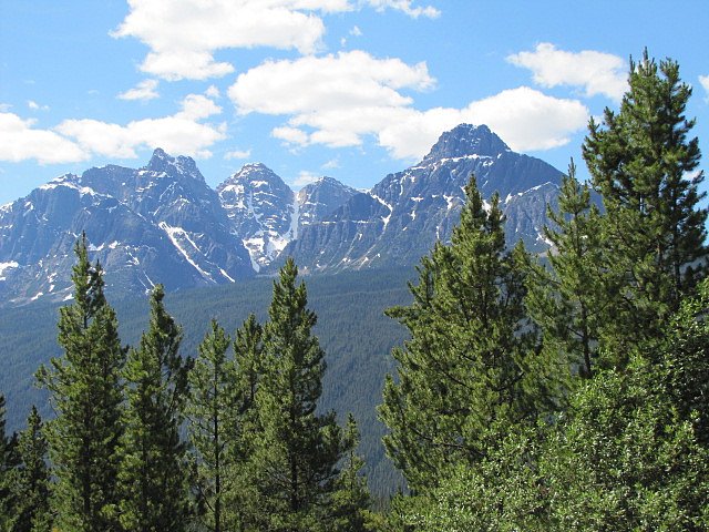
Jasper mountain views (1 of 5)
Topographic Map of Siege Peak, Columbia-Shuswap A, BC V0A, Canada
Find elevation by address:

Places near Siege Peak, Columbia-Shuswap A, BC V0A, Canada:
Chisel Peak
Catacombs Mountain
Brussels Peak
Ghost Mountain
Mount Belanger
Dragon Peak
Serenity Mountain
Improvement District No. 12
Mount Bras Croche
Alnus Sw2
Curl Peak
Mount Clemenceau
Mount Quincy
Honeymoon Lake Campground
Mount Kerkeslin Campground
Geraldine Peak
Kerkeslin Se5
Tusk Peak
Sunwapta Falls
Mount Kerkeslin
Recent Searches:
- Elevation of Corso Fratelli Cairoli, 35, Macerata MC, Italy
- Elevation of Tallevast Rd, Sarasota, FL, USA
- Elevation of 4th St E, Sonoma, CA, USA
- Elevation of Black Hollow Rd, Pennsdale, PA, USA
- Elevation of Oakland Ave, Williamsport, PA, USA
- Elevation of Pedrógão Grande, Portugal
- Elevation of Klee Dr, Martinsburg, WV, USA
- Elevation of Via Roma, Pieranica CR, Italy
- Elevation of Tavkvetili Mountain, Georgia
- Elevation of Hartfords Bluff Cir, Mt Pleasant, SC, USA