Elevation map of Shughnon, Tajikistan
Location: Tajikistan > Gorno-badakhshan Autonomous Province >
Longitude: 72.236379
Latitude: 37.708836
Elevation: 3563m / 11690feet
Barometric Pressure: 65KPa
Elevation Map:
Satellite Map:
Related Photos:
020-img_5648.jpg
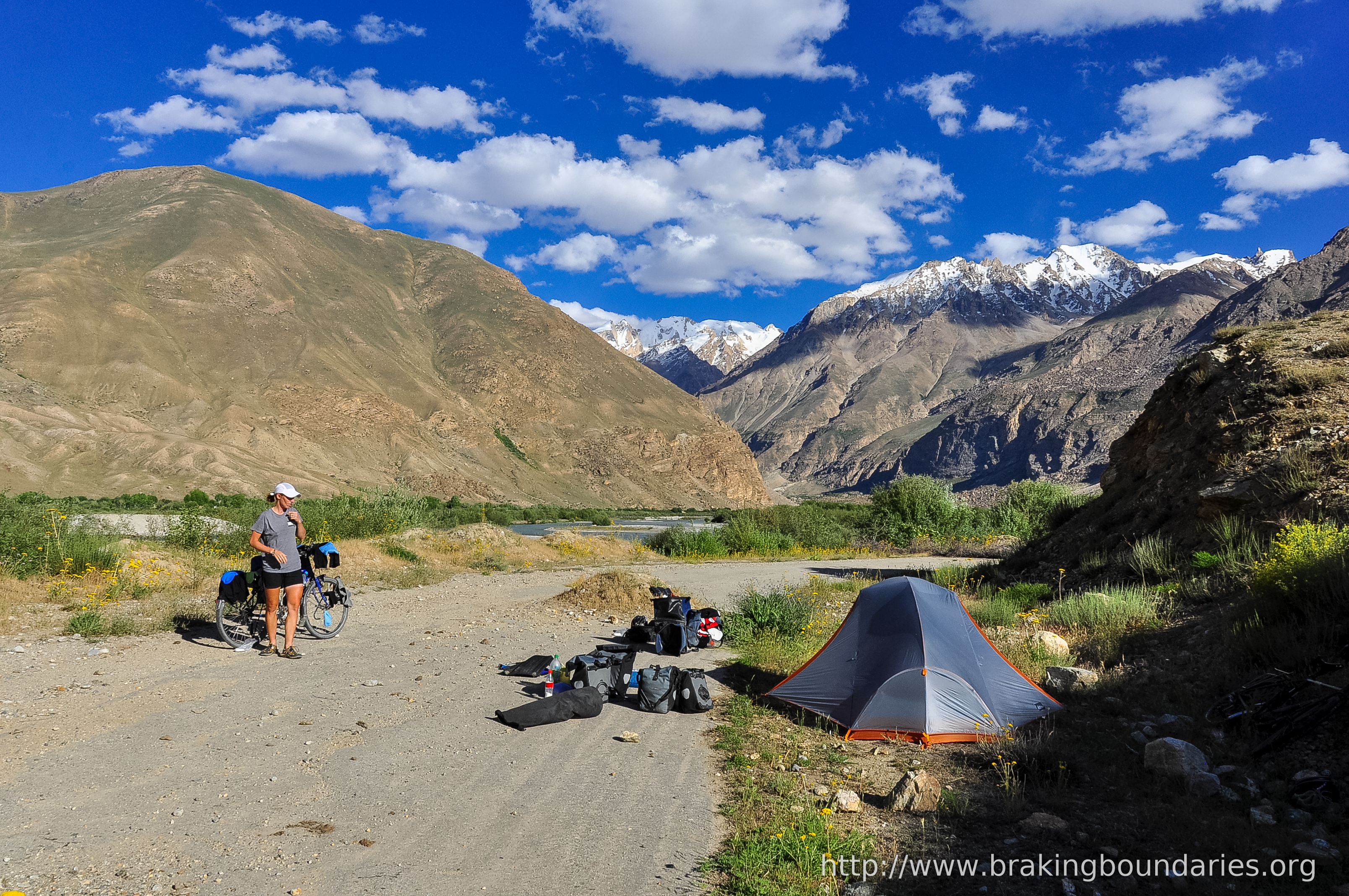
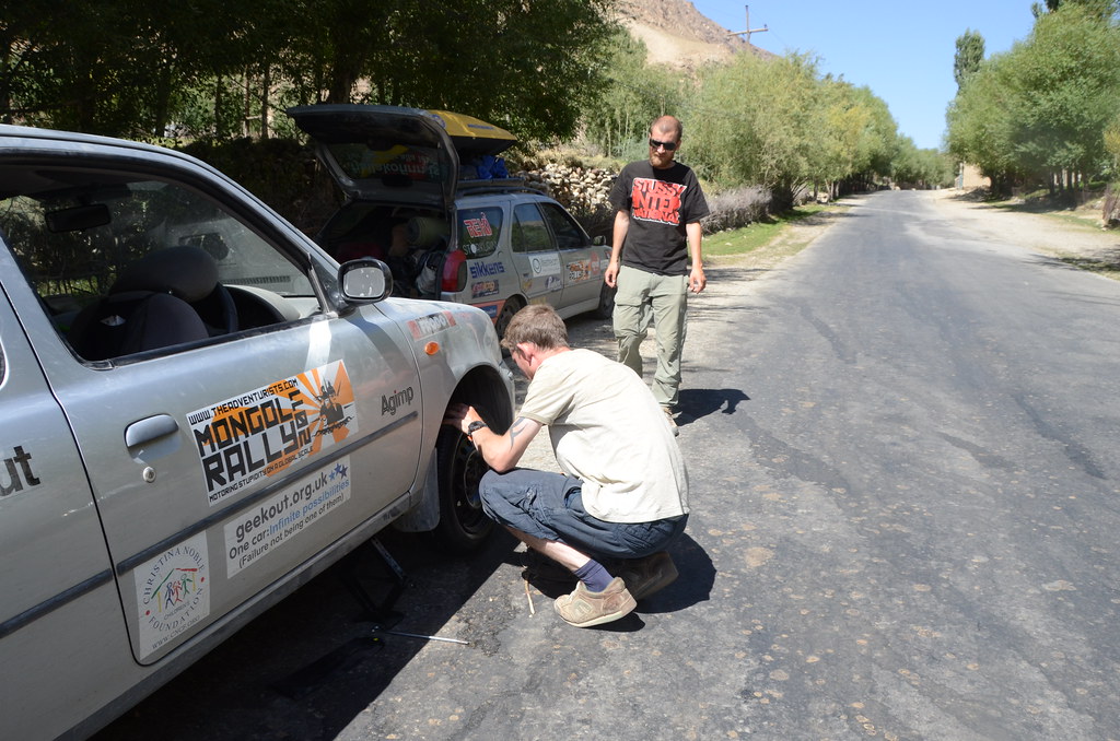
Khorog to Murgab
weiter Richtung innerer Pamir

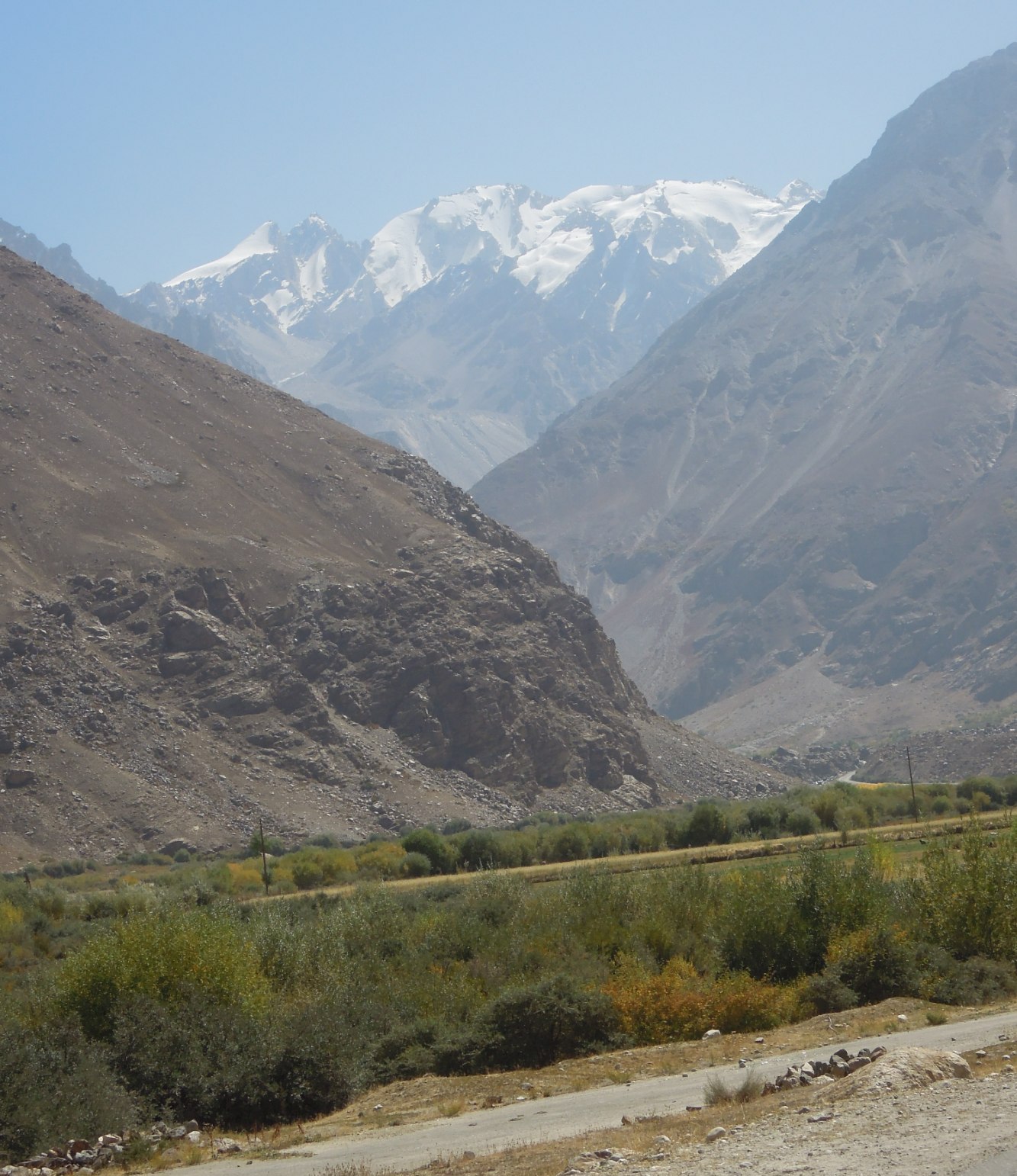
021-img_5652.jpg

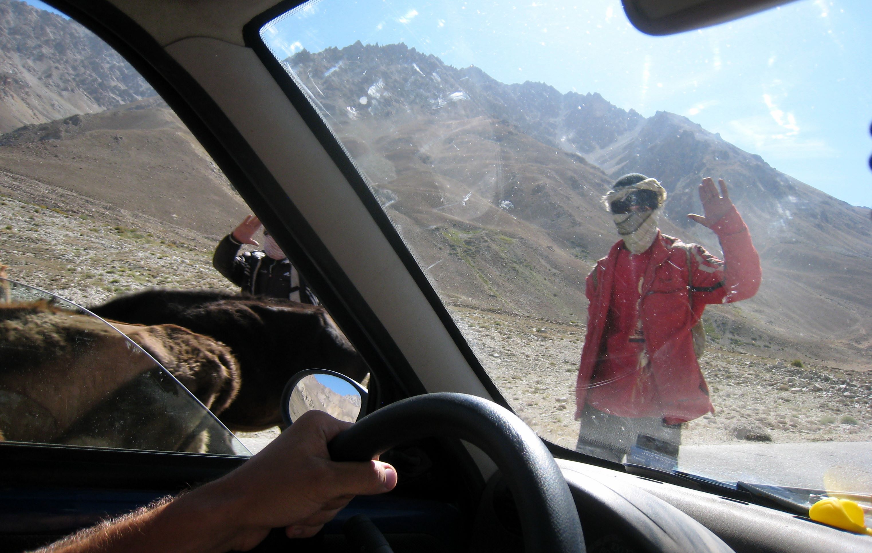
019-img_5644.jpg
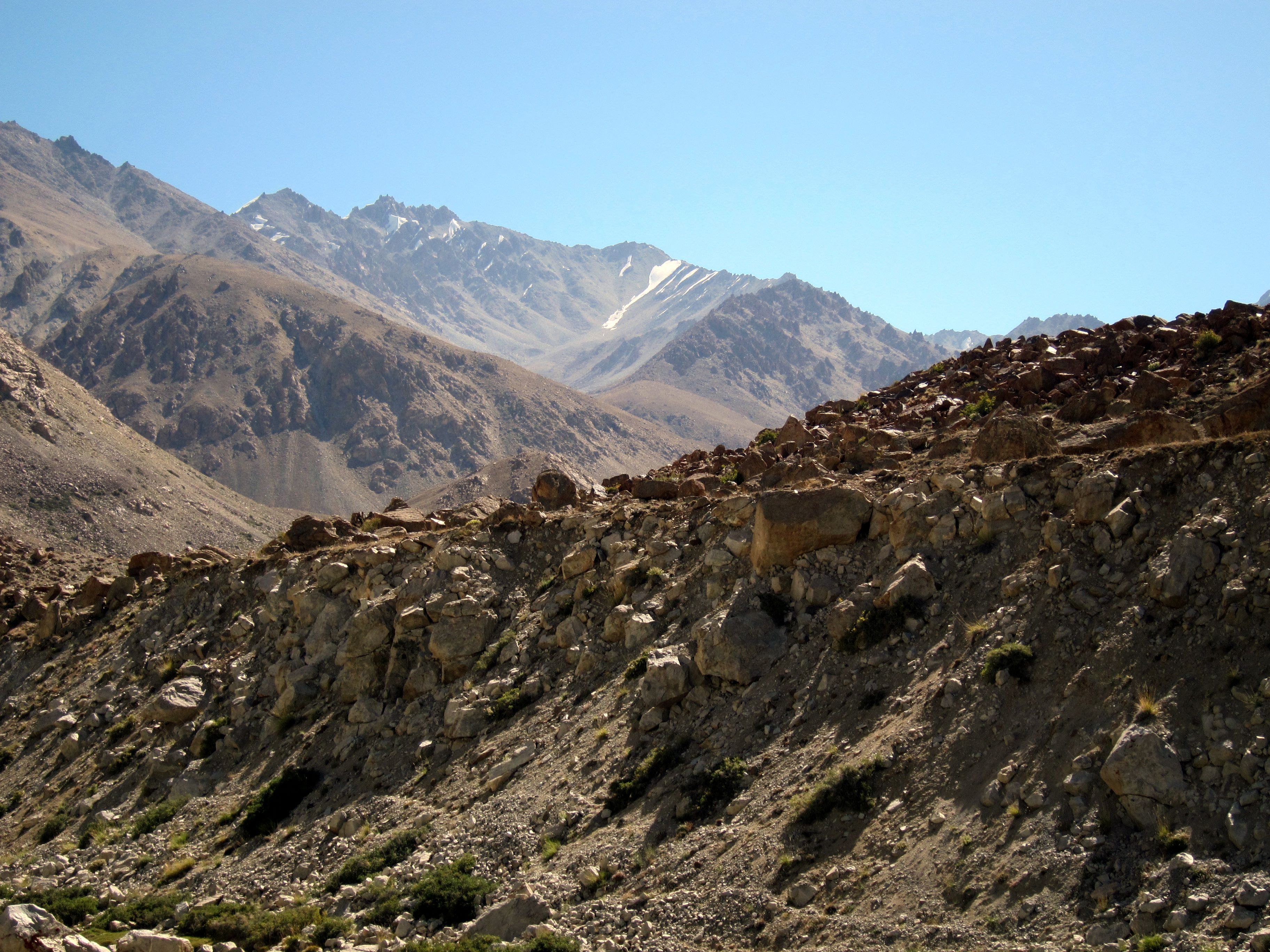
016-img_2360.jpg
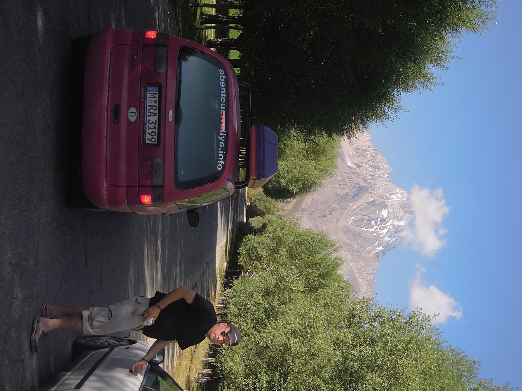
M41, Gunttal
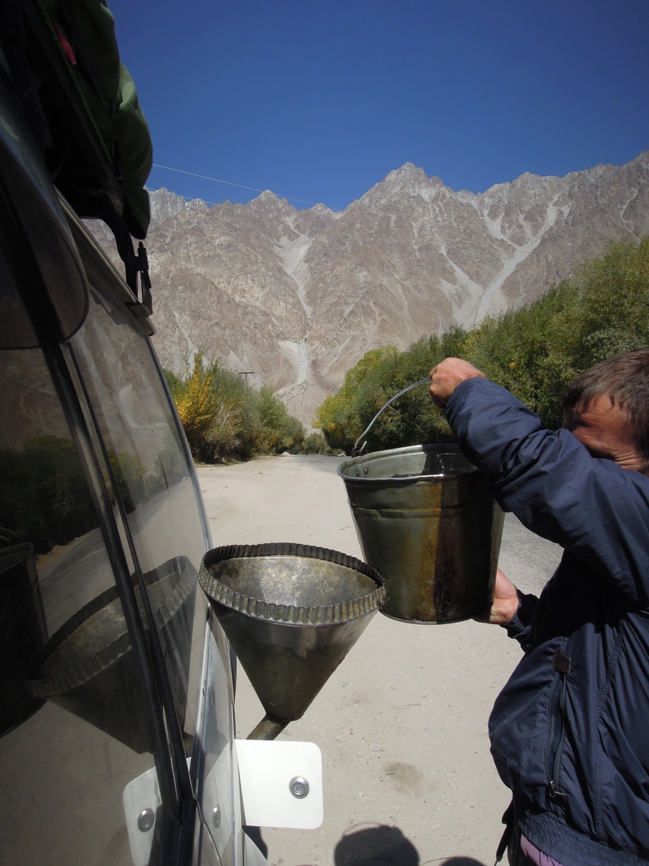
An der Straße wird nachgetankt
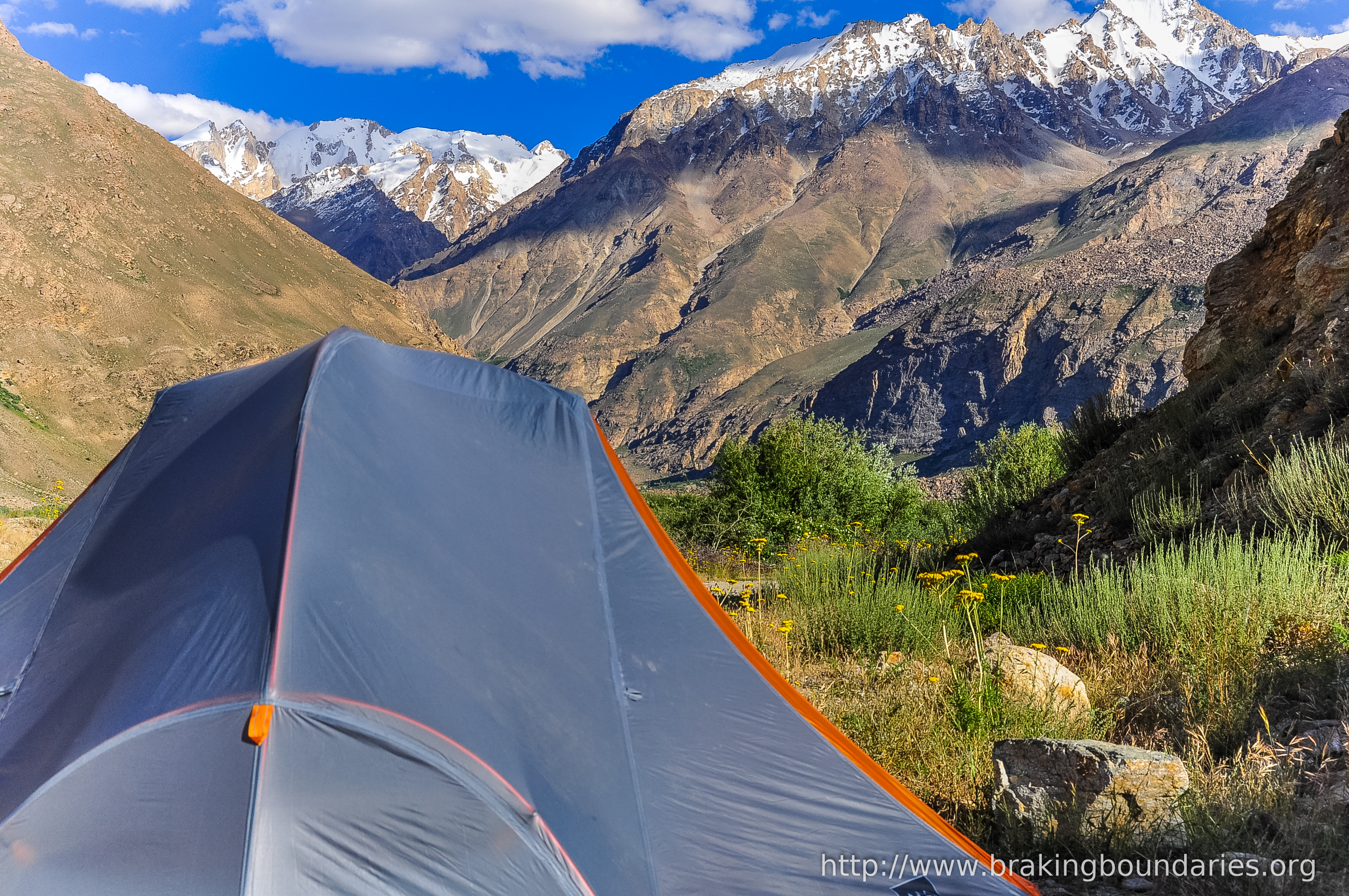
Khorog to Murgab
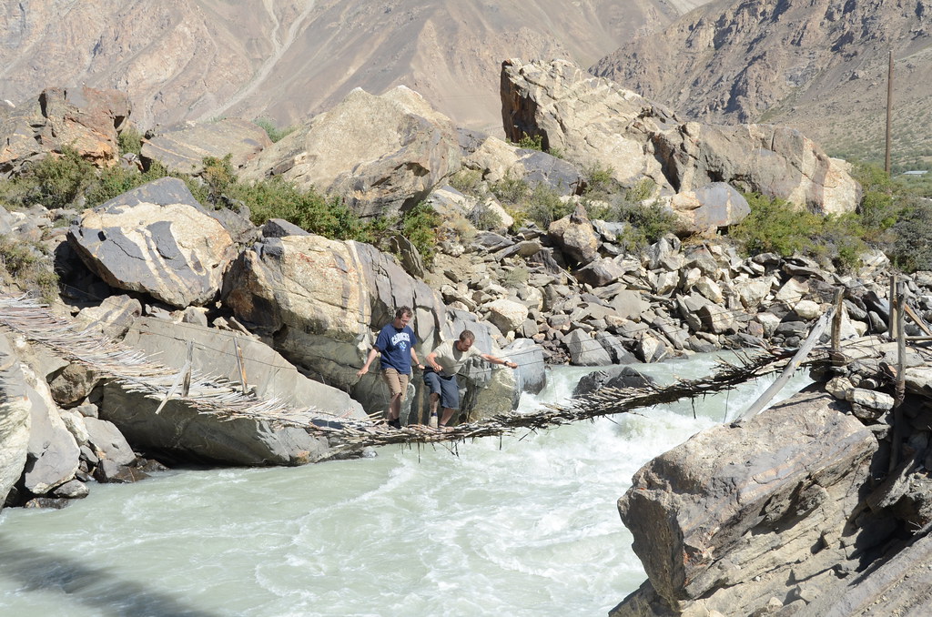
Rickerty Bridge
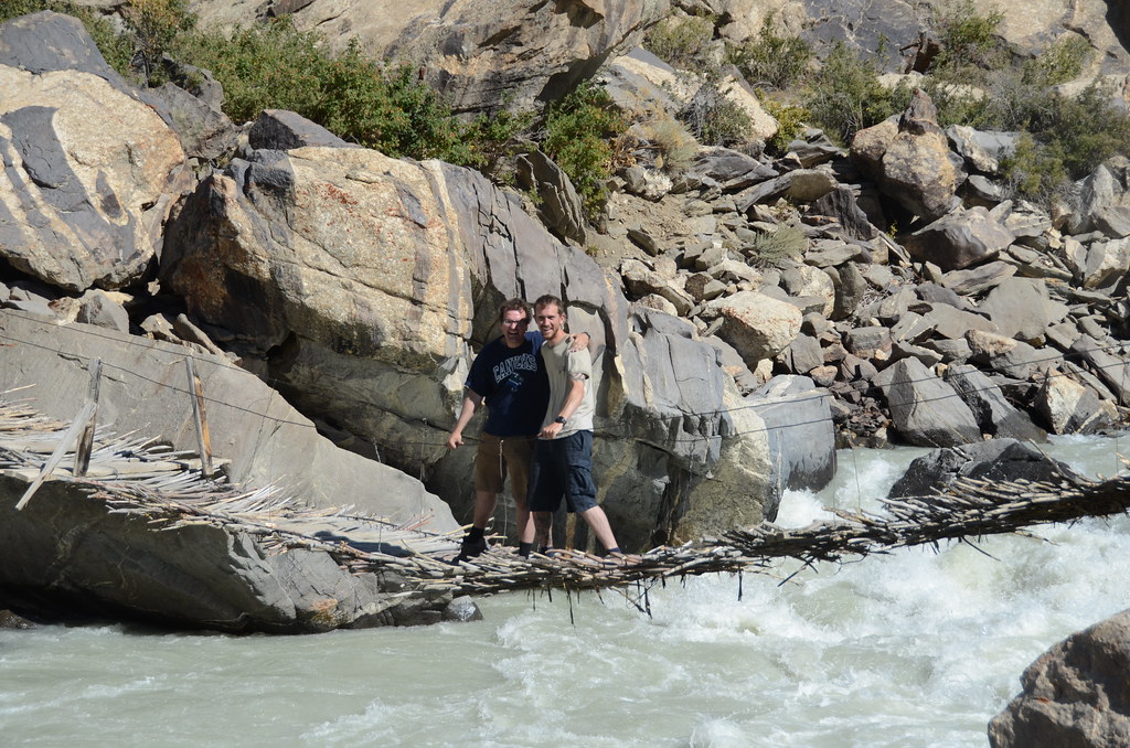
Team Geekout on a Rickety Bridge
First Change
Topographic Map of Shughnon, Tajikistan
Find elevation by address:

Places in Shughnon, Tajikistan:
Places near Shughnon, Tajikistan:
Pik Patkhor
Gora Bakchigir
Roshtqala
Pik Karla Marksa
Bulunkul
Yamchun Fort
Ishkoshim
Pamir River
Wakhan
Langar
Langar
Recent Searches:
- Elevation of Corso Fratelli Cairoli, 35, Macerata MC, Italy
- Elevation of Tallevast Rd, Sarasota, FL, USA
- Elevation of 4th St E, Sonoma, CA, USA
- Elevation of Black Hollow Rd, Pennsdale, PA, USA
- Elevation of Oakland Ave, Williamsport, PA, USA
- Elevation of Pedrógão Grande, Portugal
- Elevation of Klee Dr, Martinsburg, WV, USA
- Elevation of Via Roma, Pieranica CR, Italy
- Elevation of Tavkvetili Mountain, Georgia
- Elevation of Hartfords Bluff Cir, Mt Pleasant, SC, USA