Elevation of SHREE CHAMUNDESHWARI TEMPLE DEVARAKOLLI, MADENADU VILLAGE,KOYANADU, MADIKERI T.Q, Mangalore - Mysore Hwy, Sampaje, Karnataka, India
Location: India > Karnataka >
Longitude: 75.5669533
Latitude: 12.4927935
Elevation: 168m / 551feet
Barometric Pressure: 99KPa
Elevation Map:
Satellite Map:
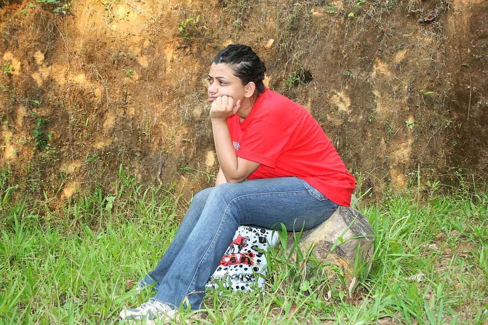
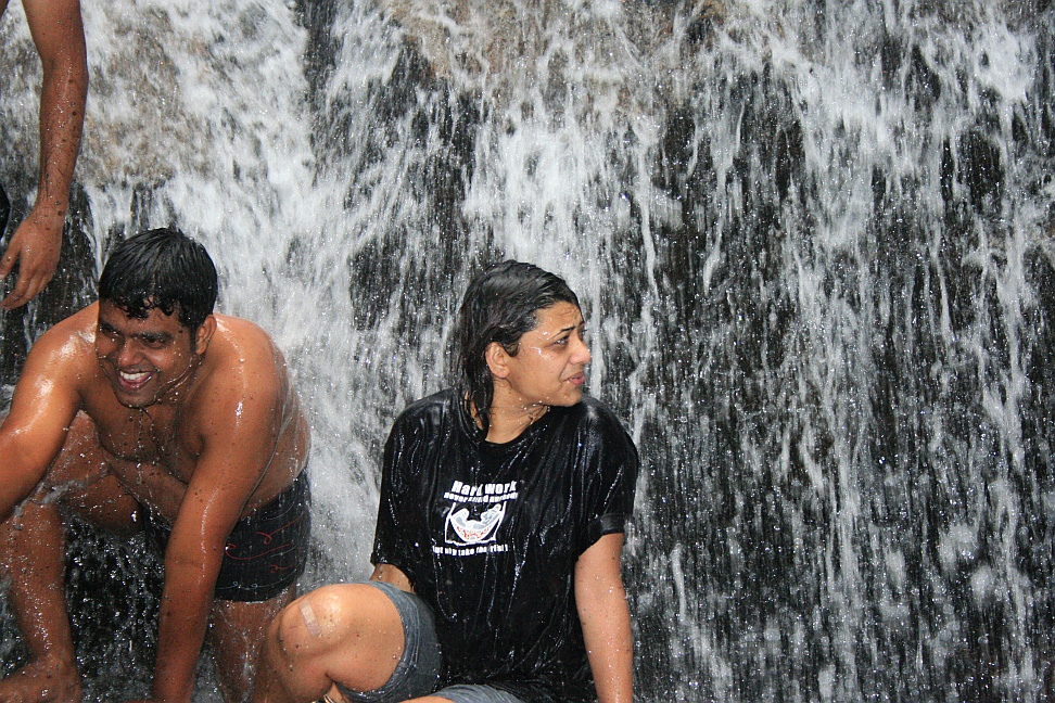
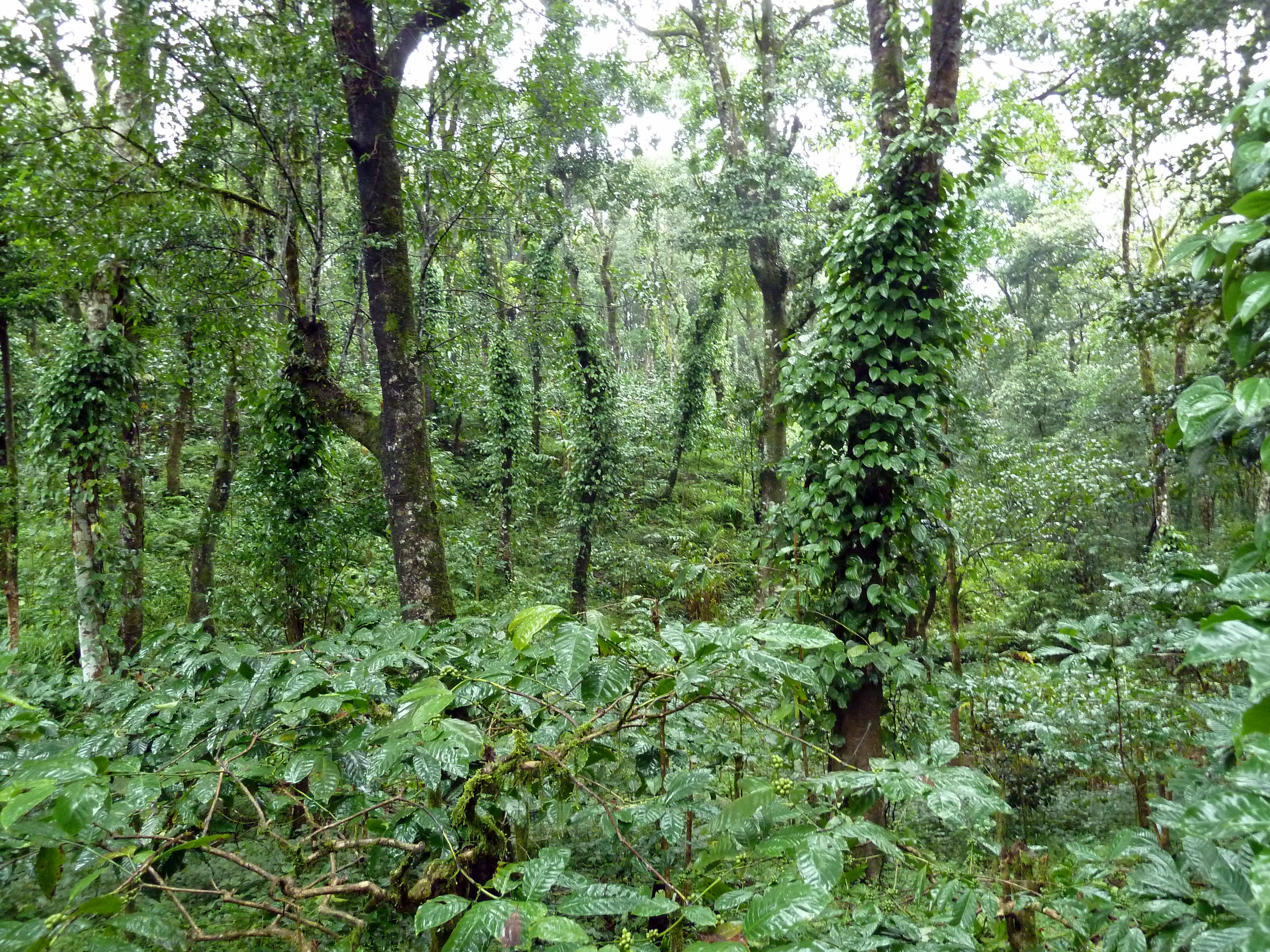
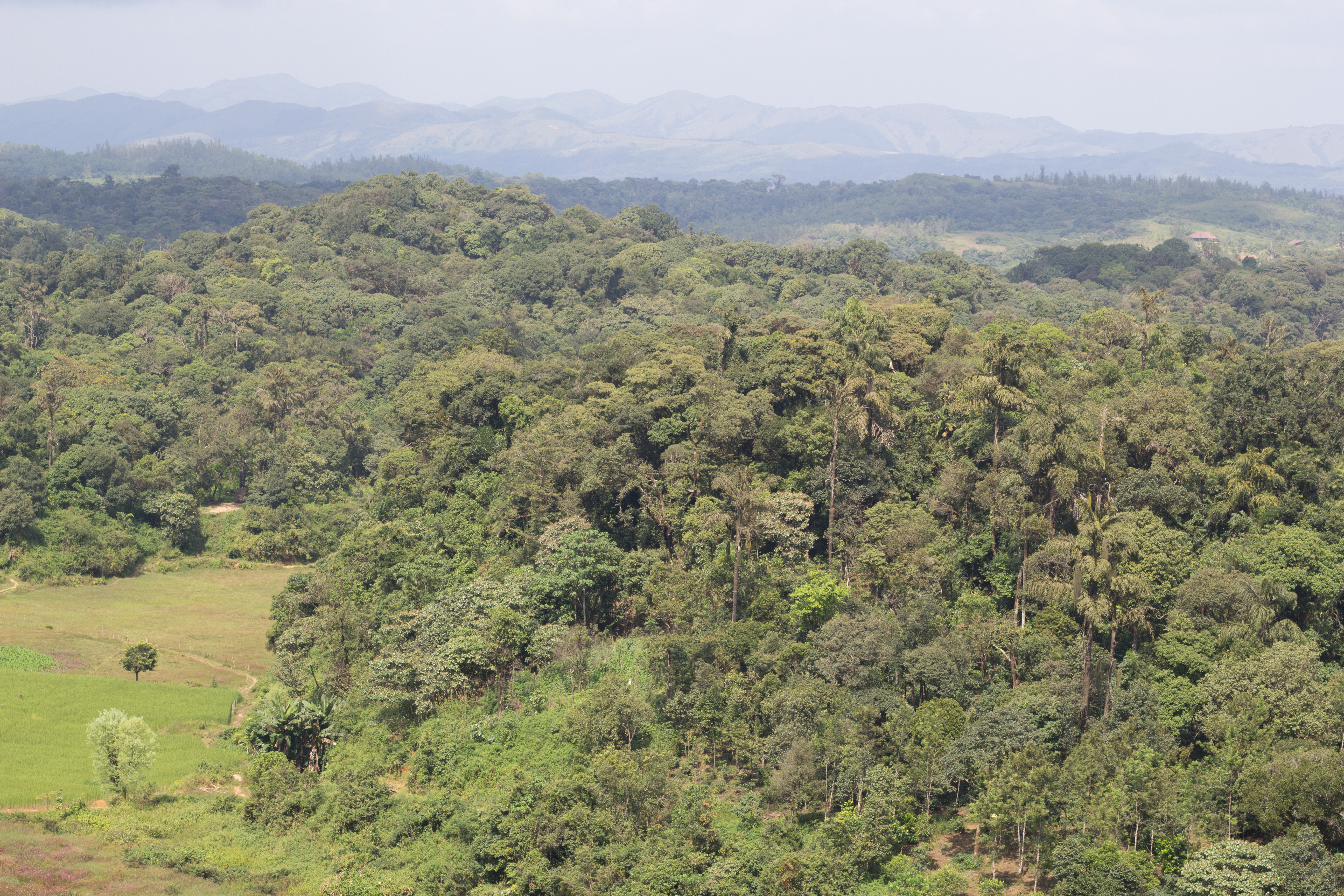
Related Photos:

Water fall near Civet Creek Camp, Coorg

Coorg 144.jpg

A curve near view point on the way to Thalakkavery.(14).

Coorg 147.jpg

When you wake up to this!!!! THIS view! #morning #view #taj #madikeri #resortweekend #office #conference #allinadayswork #instatravel #traveldiaries #wanderlust #traveldiaries #travelgram #nature #pool #hills #green #valley

Am still hungover from the splendid weekend at Coorg. And this hotel has my heart. This is the view from the reception at 12 in the afternoon. It was just sunny 2 minutes back before the clouds decided to give zero fucks about how u felt about sunshine!!

Coorg 138.jpg

Coorg 103.jpg

Coorg 113.jpg

Coorg 102.jpg

Coorg 116.jpg

Coorg 118.jpg

Coorg 140.jpg

Coorg 137.jpg

Coorg 143.jpg
Coorg 162.jpg

Coorg 134.jpg
Coorg 121.jpg

Coorg 112.jpg

Coorg 120.jpg

Coorg 119.jpg

Rolling green

The beautiful smile of the nature!
Multicropping at Rainforest retreat

The Majestic Western Ghats!

Multicropping at the Manikkara plantation

At Taj Madikeri Resort & Spa, Coorg
At Taj Madikeri Resort & Spa, Coorg

Thodikana to Sullia

Thodikana to Sullia

Thodikana to Sullia

Maruvala House, Thodikana

The Majestic Western Ghats!

Smoking Hot

Winding Road near Thalakkavery.(13)

Eco camp landscape

Coorg 174.jpg

on a curve near Baghuntala.(08)

Coorg 184.jpg

Coorg 110.jpg
Topographic Map of SHREE CHAMUNDESHWARI TEMPLE DEVARAKOLLI, MADENADU VILLAGE,KOYANADU, MADIKERI T.Q, Mangalore - Mysore Hwy, Sampaje, Karnataka, India
Find elevation by address:

Places near SHREE CHAMUNDESHWARI TEMPLE DEVARAKOLLI, MADENADU VILLAGE,KOYANADU, MADIKERI T.Q, Mangalore - Mysore Hwy, Sampaje, Karnataka, India:
Galibeedu
Karike
Jodupala School
The Nest, Bettathur Coorg
ಕೂರ್ಗ್ ಕಾಫಿ ಹಿಲ್ಸ್
Three Hills, Coorg
Iyandra
Ii.monnageri
Greater Talacauvery National Park
Korangala
Singathuru
Taj Madikeri Resort & Spa, Coorg
Brahmagiri Hill View Point
Tala Kaveri
Tala Kaveri Temple
Made
Kalur
Cherambane
Mandalpatti
Katakeri
Recent Searches:
- Elevation of Corso Fratelli Cairoli, 35, Macerata MC, Italy
- Elevation of Tallevast Rd, Sarasota, FL, USA
- Elevation of 4th St E, Sonoma, CA, USA
- Elevation of Black Hollow Rd, Pennsdale, PA, USA
- Elevation of Oakland Ave, Williamsport, PA, USA
- Elevation of Pedrógão Grande, Portugal
- Elevation of Klee Dr, Martinsburg, WV, USA
- Elevation of Via Roma, Pieranica CR, Italy
- Elevation of Tavkvetili Mountain, Georgia
- Elevation of Hartfords Bluff Cir, Mt Pleasant, SC, USA