Elevation of Shore Dr, Corpus Christi, TX, USA

Location: United States > Texas > Nueces County > Corpus Christi > Flour Bluff >

Longitude: -97.294029

Latitude: 27.6221102

Elevation: 1m / 3feet

Barometric Pressure: 101KPa

Elevation Map:

elevation map of Shore Dr, Corpus Christi, TX, USA
Satellite Map:

Satellite map of Shore Dr, Corpus Christi, TX, USA

Related Photos:

Day 4, Royal Terns & Laughng Gulls
Silhouetted kids
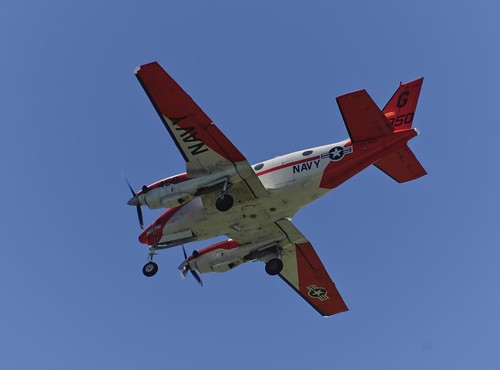
nikon texas corpuschristi aircraft aviation airplanes beechcraft tamron usnavy militaryaviation gulfcoast navalaviation navalairstationcorpuschristi horwath flighttraining t44a tamronlens t44 coastalbend d700 truaxfield usnavyaviation nascorpuschristi turbopropaircraft rayhorwath tamron28mm300mmlens
Navy Beech T-44
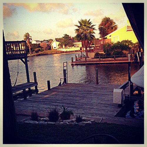
square squareformat iphoneography instagramapp xproii uploaded:by=instagram
Visiting a friend's rental house for the weekend. However, things have drastically changed. Now that we have experienced the view, the boat, the jeep, big TV, comfy bed...long list... I have now peed off the dock, thus marking my territory, and have ena
light photoshop canon long exposure mark brian ii single 5d 1740l barrera 430ex
Lost Again?
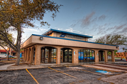
geotagged texas corpuschristi christi corpus hdr everhart creditunion brandonwatts securityservice geo:lat=27692002 geo:lon=97397845
SSFCU- Everhart Branch
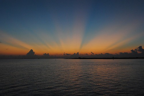
ocean morning blue sea sky orange usa sun sunlight water clouds sunrise island dawn bay nikon texas good corpuschristi north beam 100views rays padre d3000 “nikonflickraward”
Good Day Sunshine
urban sign view angle garage parking wide fisheye m42 handicap 8mm canonae1program reserved circular peleng kodakgold200film wheelchairsign
signs make good photography subjects
54.365
fog night
96.365
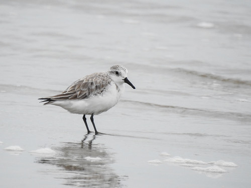
bird sanderling
Day 4, Sanderling, Mustang Island State Park
Laguna Madre
aerial aerialview airfield bay bridge brotoiah brownsvilletohouston commercialflight corpuschristi flight flourbluff lagoon nas navalairstation osobay spit texas unitedairlines vacation viewedfromabove windowseat zeesstof
Oso Bay, NAS & Corpus Christi
corpuschristi tx 1981 grandopening sunrisemall
Sunrise Mall Grand Opening
61.365
Nighttime Reflection
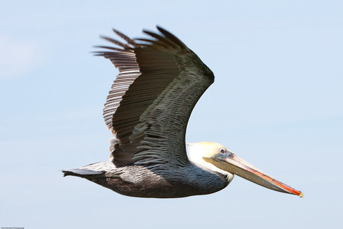
nature birds january pelican 2010 bif
New Years 2010
58.365 The Hoard
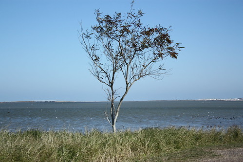
The Solitary Tree
109.365
people news fire tv talent cbs corpuschristitexas panasonicdmcfz7 10millionphotos kztv taqueriajalisco4
The talent
wadingbirds egret heronsandegrets ardeidae
Tricolored Heron (Egretta tricolor)
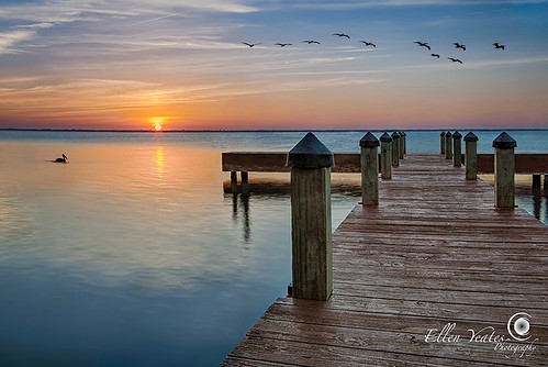
ocean wood sunset vacation sky sun reflection bird beach animal relax landscape fun island photography pier ellen fly duck spring sand break texas christ corpuschristi picture wave enjoy mustang corpus hdr yeates timeofday ellenyeates
Corpus Christi Pier Sunset
usa beach island texas portaransas texasstatepark mustangislandstatepark canon7d canon18135is zeesstof
Mustang Island State Park
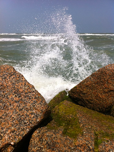
ocean statepark water waves texas corpuschristi christi corpus iphone crashingwaves mustangisland iphone4
Crashing waves
ocean vacation sky beach rock relax landscape fun island photography ellen spring sand break texas christ picture enjoy mustang corpus hdr yeates ellenyeates
Mustang Island Beach
beach springbreak corpuscristi
12Mar14 Spring Break-145
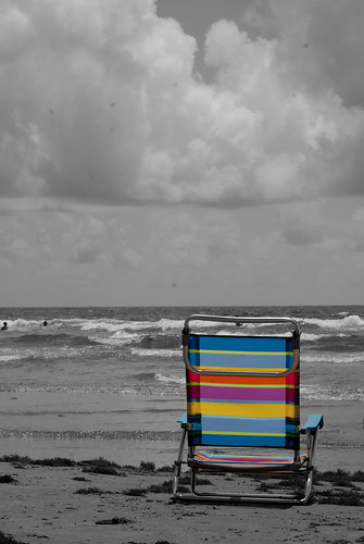
beach corpuschristi northpadreisland
beach chair
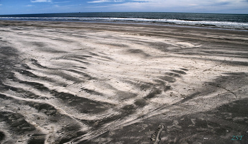
usa beach island texas ripples portaransas texasstatepark mustangislandstatepark bedforms top20texas canon7d canon18135is zeesstof
Long Amplitude Current Ripples
square squareformat iphoneography instagramapp uploaded:by=instagram
Seaweed #nofilter @sameg14-style
sunset
Sun goes down at S. Padre
Mustang Island State Park Memorial Day weekend 2016
USA - Texas - Mustang Island State Park
Beach sunrise
8/23/06
helpnameme jasondavidpagecom
Help Name Me - comment
sunset people texas corpuschristi panasonicdmcfz7 10millionphotos
Wading home
photo (11)
Bridge to the Sea
usa beach tx hdr padreisland
Padre Island Sunset
ocean blue sunset water corpuschristi horizon distance
The Sunset City: 8/15/09