Elevation of Shisparé Sar
Longitude: 74.6808333
Latitude: 36.4408333
Elevation: 7536m / 24724feet
Barometric Pressure: 38KPa
Elevation Map:
Satellite Map:
Related Photos:

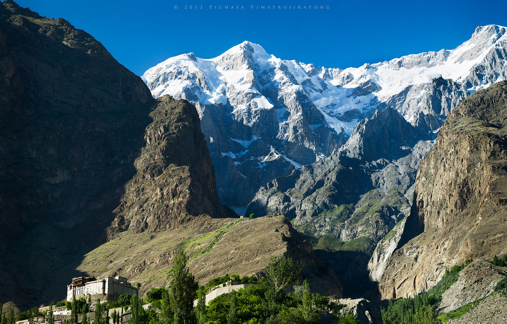
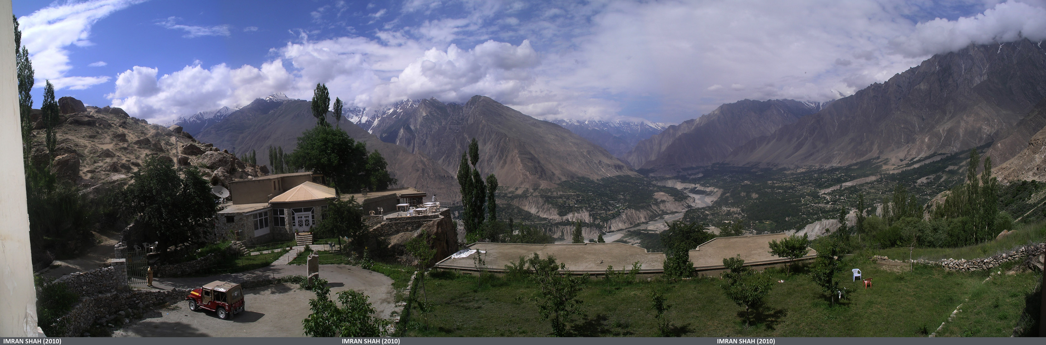
View from Altit
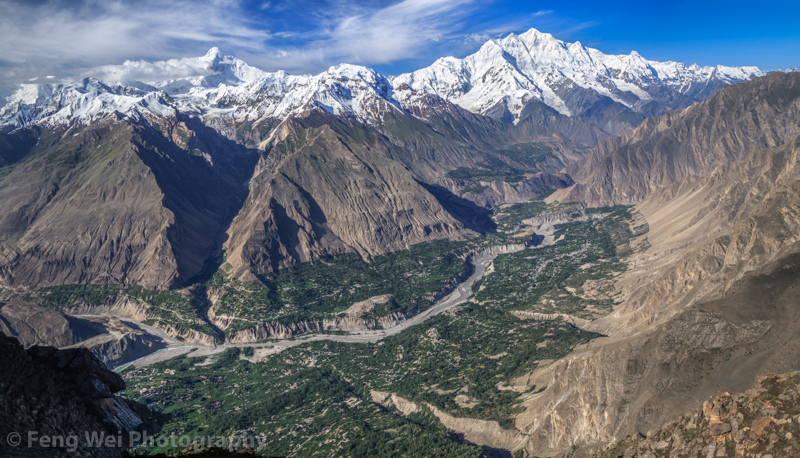
Hunza Valley, Hon Pass, Karimabad, Gilgit-Baltistan, Pakistan
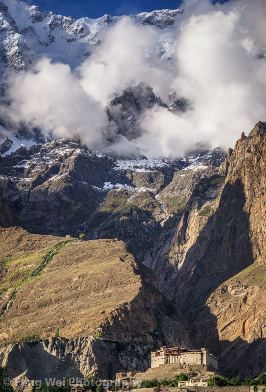
Baltit Fort and Ultar Sar
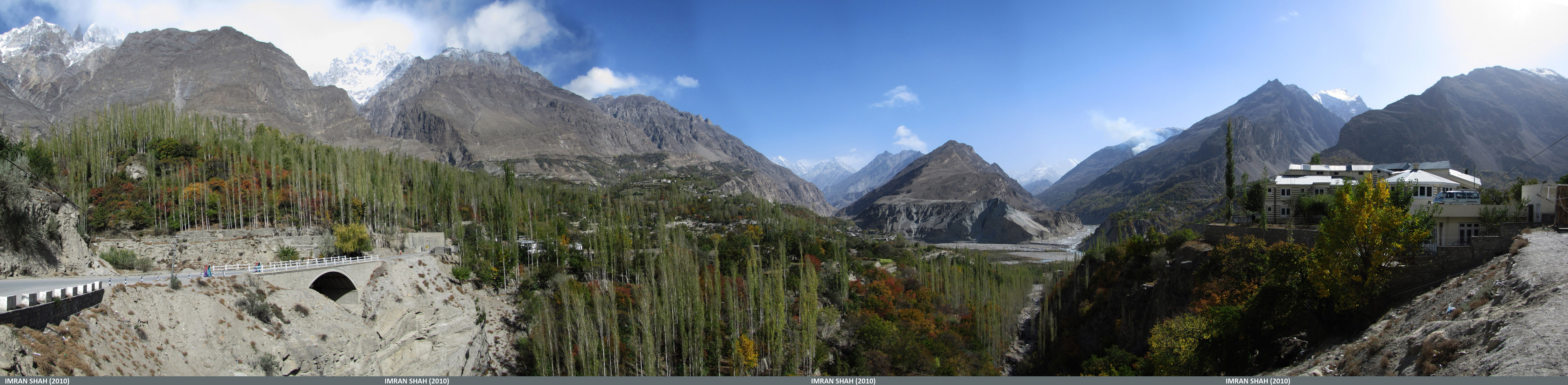
South view of Hunza Valley from Chumarkhan

Rakaposhi View from Baltit Fort | Hunza Valley | Gilgit-Baltistan, Northern Pakistan
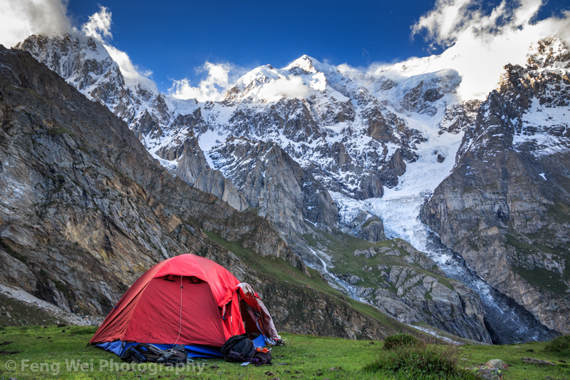
Camping Beneath Hon Pass, Karimabad, Hunza Valley, Gilgit-Baltistan, Pakistan
View from Eagle's Nest
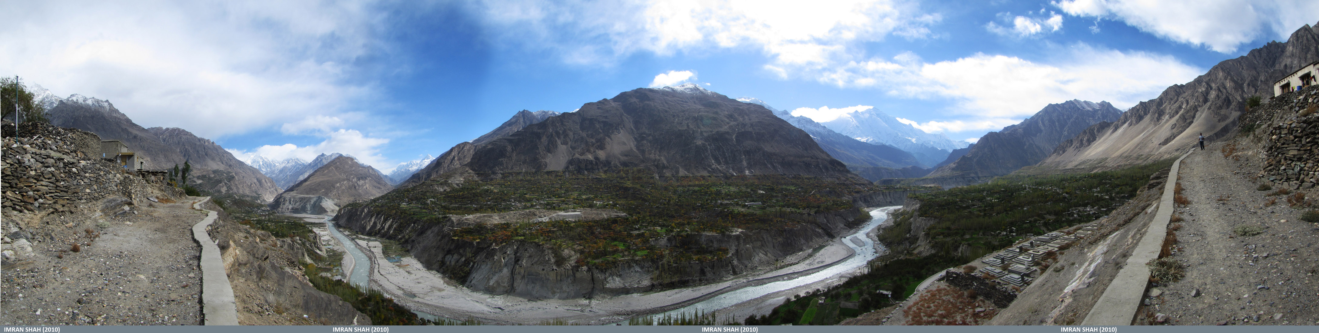
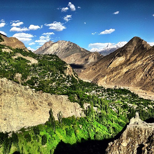
View of Ganish and Karimabad from Garlt
View of Hunza Valley from Top Floor of Baltit Fort | Karimabad | Gilgit-Baltistan, Northern Pakistan

Camping Beneath Hon Pass, Karimabad, Hunza Valley, Gilgit-Baltistan, Pakistan
Baltit Fort In Karimabad, Hunza Valley, Gilgit-Baltistan, Pakistan
Topographic Map of Shisparé Sar
Find elevation by address:

Places near Shisparé Sar:
Hunza Nagar
Pasu Glacier
Batura Glacier
Pasu Sar
Hunza View Hotel
Patundas Meadows - Ghulkin Gojal Hunza
Karimabad
Baltit Fort
Cafe De Hunza
Mulberry Hotel
Hunza Serena Inn
Darbar Hotel
Hunza Embassy Hotel
Hunza Valley
Ptdc Motel, Hunza
Hunza
Hunza River
Nagar Khas
Borith Lake Hotel & Resort
Ghulkin
Recent Searches:
- Elevation of Corso Fratelli Cairoli, 35, Macerata MC, Italy
- Elevation of Tallevast Rd, Sarasota, FL, USA
- Elevation of 4th St E, Sonoma, CA, USA
- Elevation of Black Hollow Rd, Pennsdale, PA, USA
- Elevation of Oakland Ave, Williamsport, PA, USA
- Elevation of Pedrógão Grande, Portugal
- Elevation of Klee Dr, Martinsburg, WV, USA
- Elevation of Via Roma, Pieranica CR, Italy
- Elevation of Tavkvetili Mountain, Georgia
- Elevation of Hartfords Bluff Cir, Mt Pleasant, SC, USA