Elevation map of Shire of Northampton, Northampton, WA, Australia
Location: Australia > Western Australia >
Longitude: 114.714291
Latitude: -28.002038
Elevation: 257m / 843feet
Barometric Pressure: 98KPa
Elevation Map:
Satellite Map:
Related Photos:

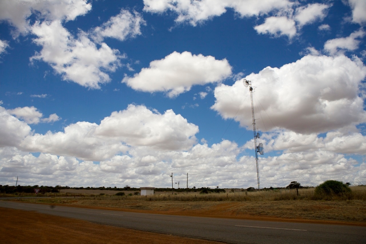
Blue Marble - Warribanno
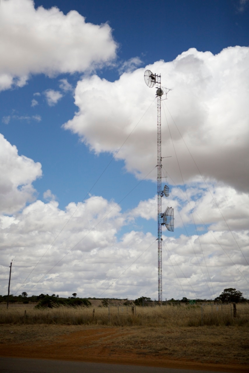
The Telegraph Line
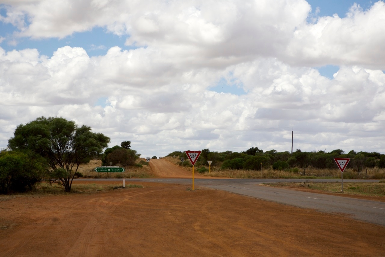
The North West Coastal Hwy

Warribanno Chimney

Warribanno Ruins
Old Apollo Mission Remainder
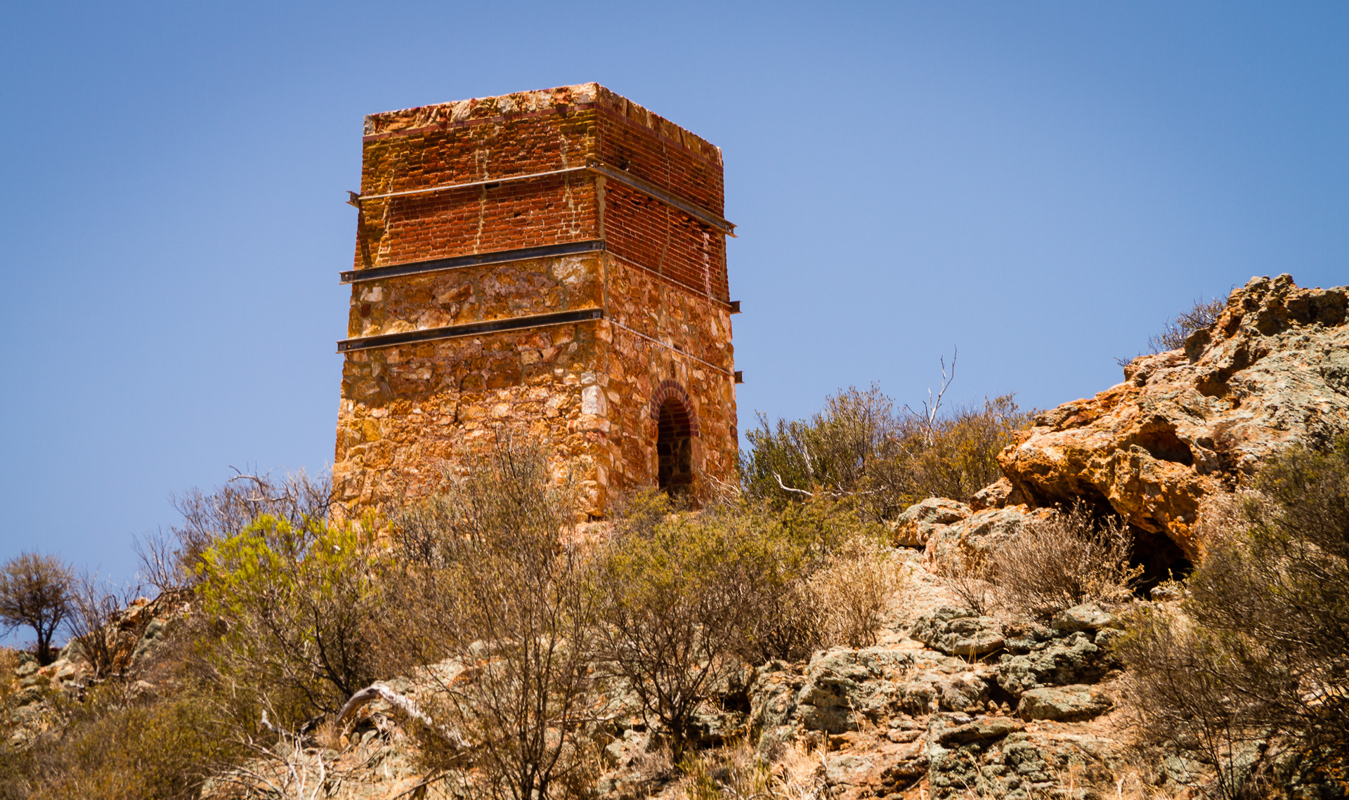
Warribano Chimney
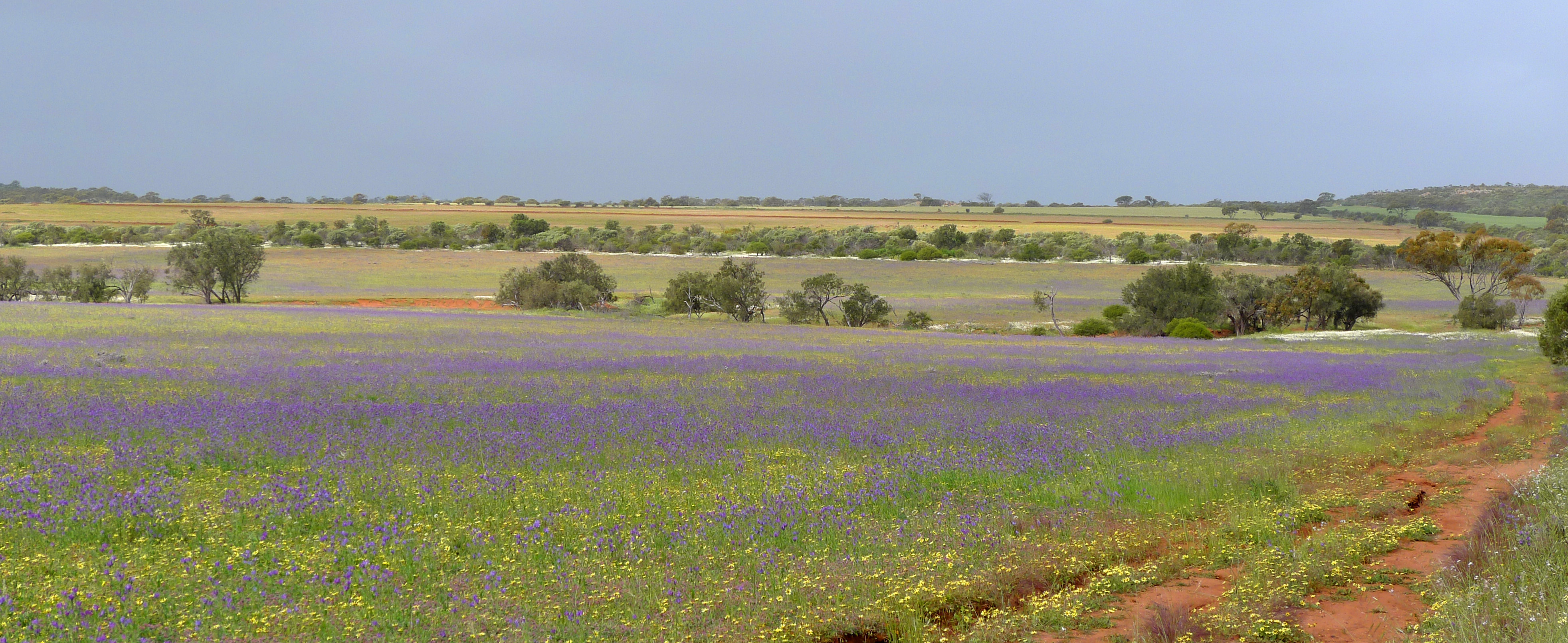
Purple Field
Topographic Map of Shire of Northampton, Northampton, WA, Australia
Find elevation by address:

Places in Shire of Northampton, Northampton, WA, Australia:
Places near Shire of Northampton, Northampton, WA, Australia:
Four Ways Trail
Erriary Road West
Nature's Window
George Grey Drive
8 Banksia St
13 Banksia St
27 Darwinia Dr
9 Banksia St
5 Goodenia Way
21 Darwinia Dr
39 Flora Blvd
8 Clematis Cres
4 Clematis Cres
Kalbarri
6 Rumex Rd
Recent Searches:
- Elevation of Corso Fratelli Cairoli, 35, Macerata MC, Italy
- Elevation of Tallevast Rd, Sarasota, FL, USA
- Elevation of 4th St E, Sonoma, CA, USA
- Elevation of Black Hollow Rd, Pennsdale, PA, USA
- Elevation of Oakland Ave, Williamsport, PA, USA
- Elevation of Pedrógão Grande, Portugal
- Elevation of Klee Dr, Martinsburg, WV, USA
- Elevation of Via Roma, Pieranica CR, Italy
- Elevation of Tavkvetili Mountain, Georgia
- Elevation of Hartfords Bluff Cir, Mt Pleasant, SC, USA