Elevation of Shire of Capel, Capel, WA, Australia
Location: Australia > Western Australia >
Longitude: 115.615473
Latitude: -33.525772
Elevation: 23m / 75feet
Barometric Pressure: 101KPa
Elevation Map:
Satellite Map:
Related Photos:

View From The Shack

Sea The View

071022 Leschenault - Gracetown 008.jpg

071022 Leschenault - Gracetown 005.jpg

071022 Leschenault - Gracetown 007.jpg

071022 Leschenault - Gracetown 004.jpg

IMGP1315.JPG

071022 Leschenault - Gracetown 006.jpg

Ironstone Gully Falls

Waving at a windmill
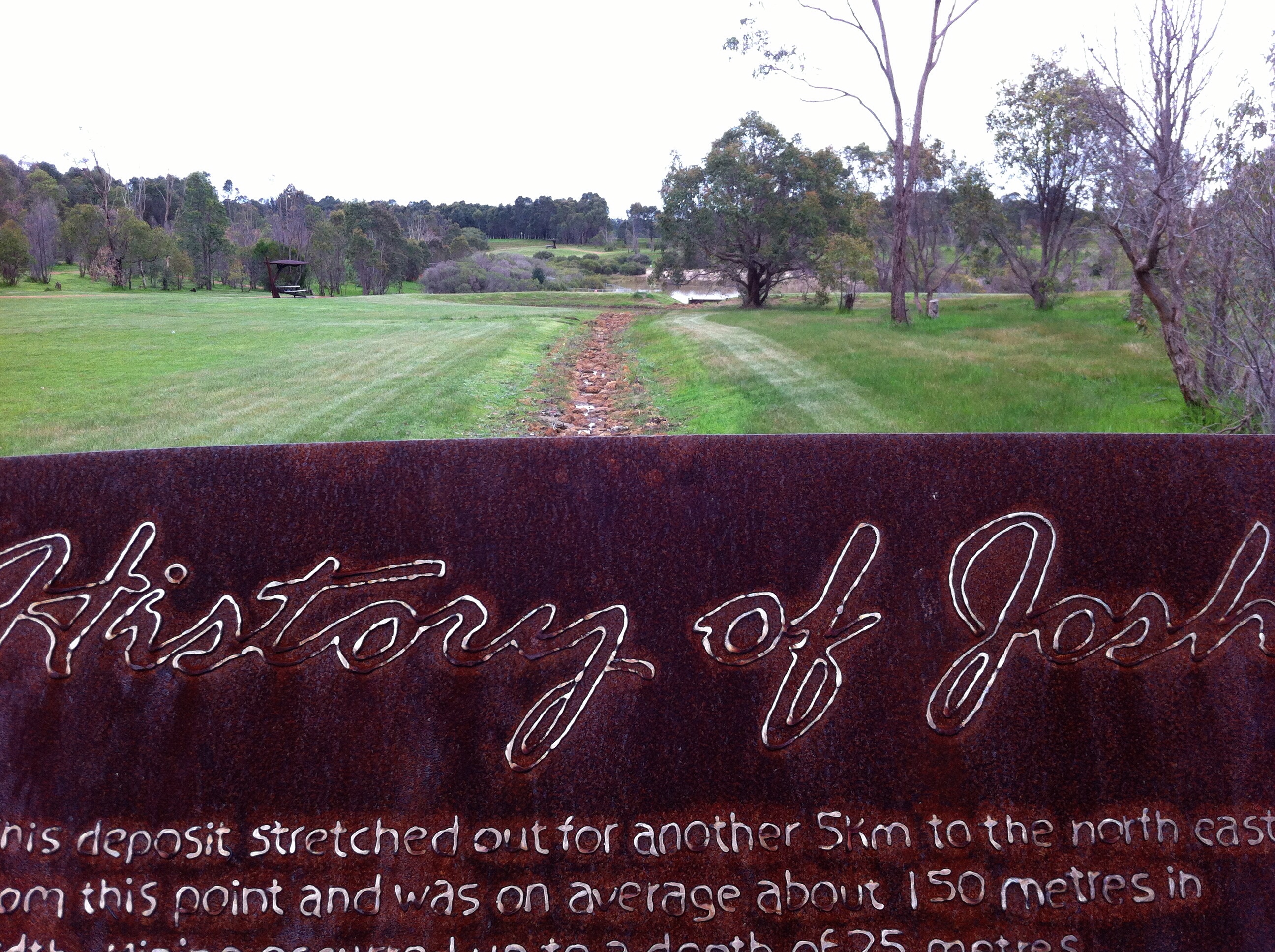
Joshua Lake Walk: Sign Made From Mining Equipment Metal
J Fest Walks

Minninup Beach

More Ducklings
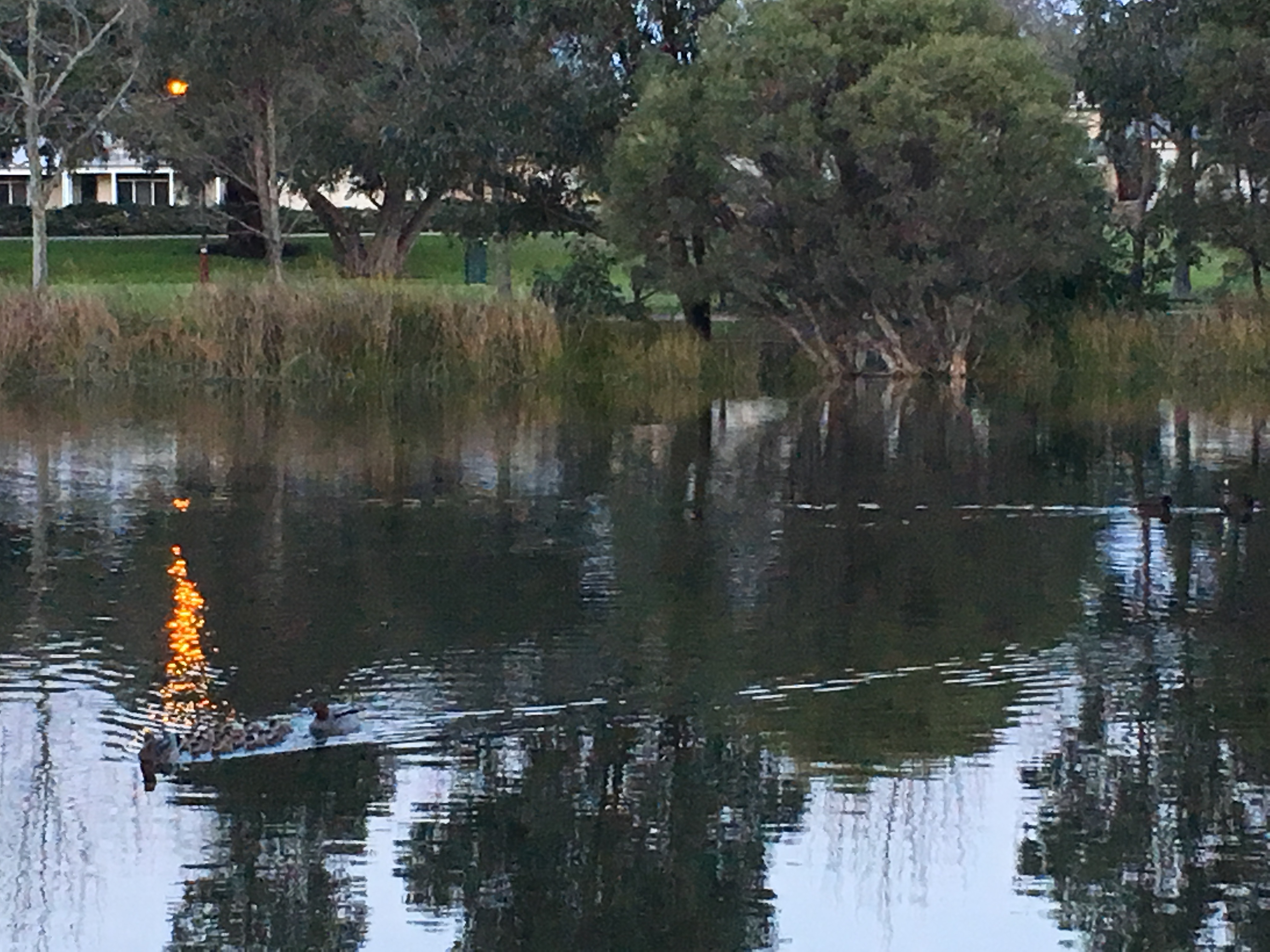
More Ducklings

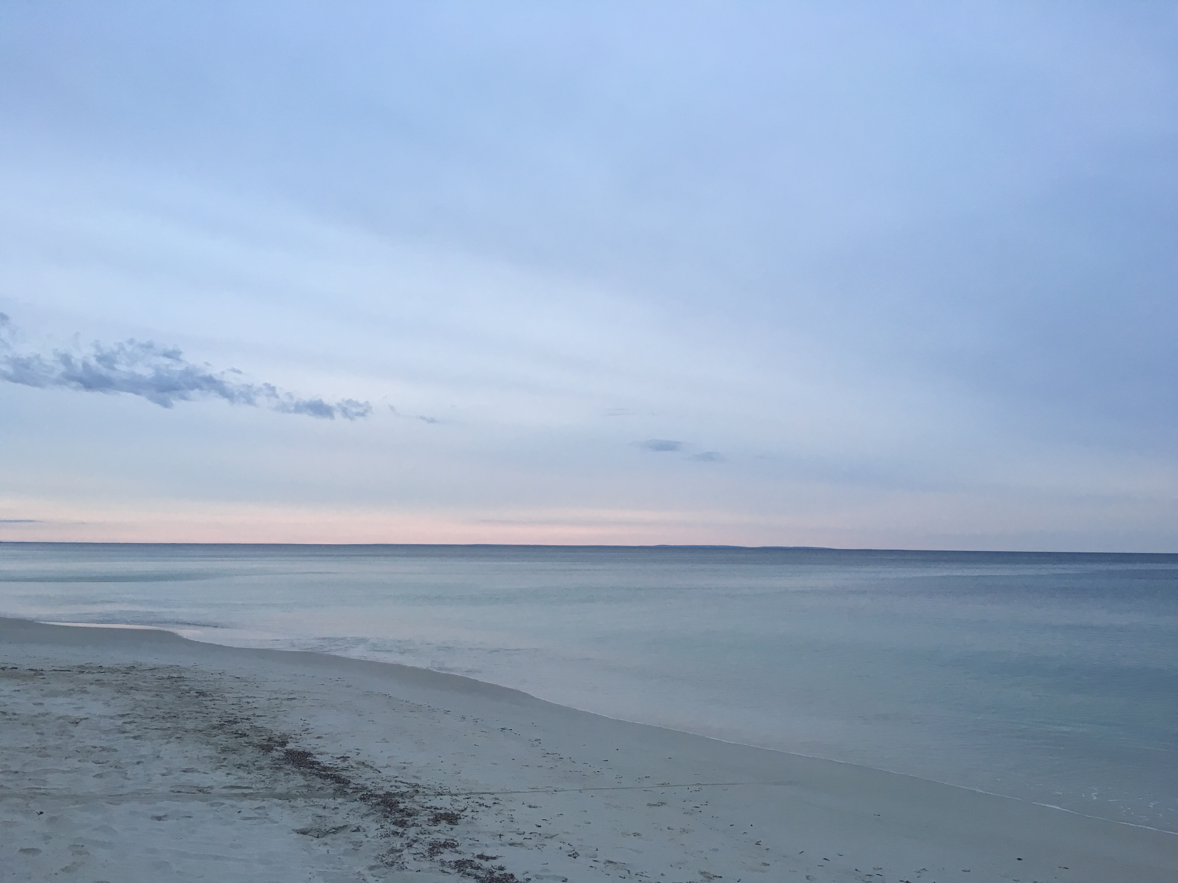
Sky is redder, but still no sun.

Along the Preston River Ramble
The sun is meant to be in this photo. But it's not. Weird.

Capel Vale

Forrest path

Last Week :(

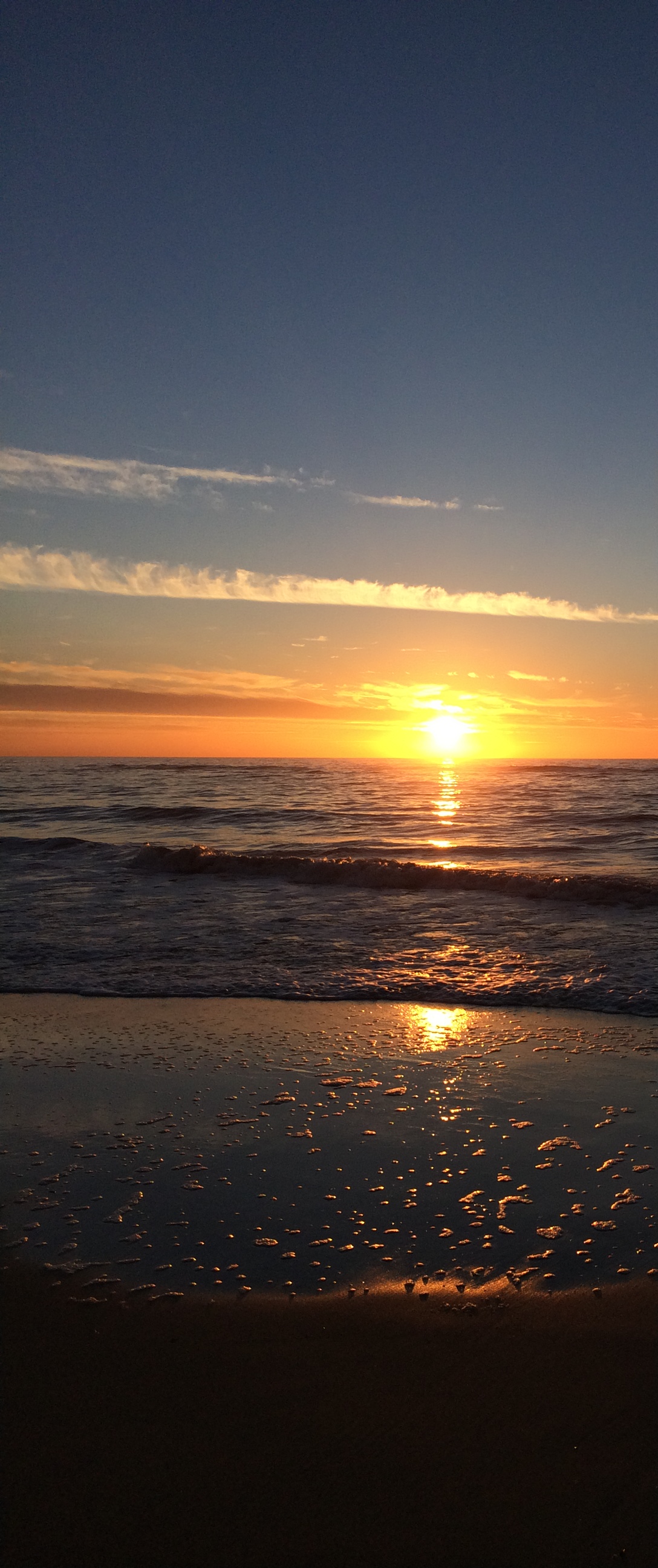
The Last Light

Just me and the flies.

Pre-Breakfast Swimming
Topographic Map of Shire of Capel, Capel, WA, Australia
Find elevation by address:

Places in Shire of Capel, Capel, WA, Australia:
Places near Shire of Capel, Capel, WA, Australia:
Gelorup
14 Coachwood Way
Dardanup West
210 Moore Rd
South Bunbury
City Of Bunbury
12 Birch St
23 Macqueen Cres
201 Ocean Dr
8 Willow Dr
1 Cornell Cres
Bunbury
Bunbury
Bunbury Lighthouse
7 Elaap St
Shire Of Dardanup
58 Hamilton Rd
Eaton
48 Lusitano Ave
16 Britannia Heights
Recent Searches:
- Elevation of Corso Fratelli Cairoli, 35, Macerata MC, Italy
- Elevation of Tallevast Rd, Sarasota, FL, USA
- Elevation of 4th St E, Sonoma, CA, USA
- Elevation of Black Hollow Rd, Pennsdale, PA, USA
- Elevation of Oakland Ave, Williamsport, PA, USA
- Elevation of Pedrógão Grande, Portugal
- Elevation of Klee Dr, Martinsburg, WV, USA
- Elevation of Via Roma, Pieranica CR, Italy
- Elevation of Tavkvetili Mountain, Georgia
- Elevation of Hartfords Bluff Cir, Mt Pleasant, SC, USA